
Dunn's River Falls
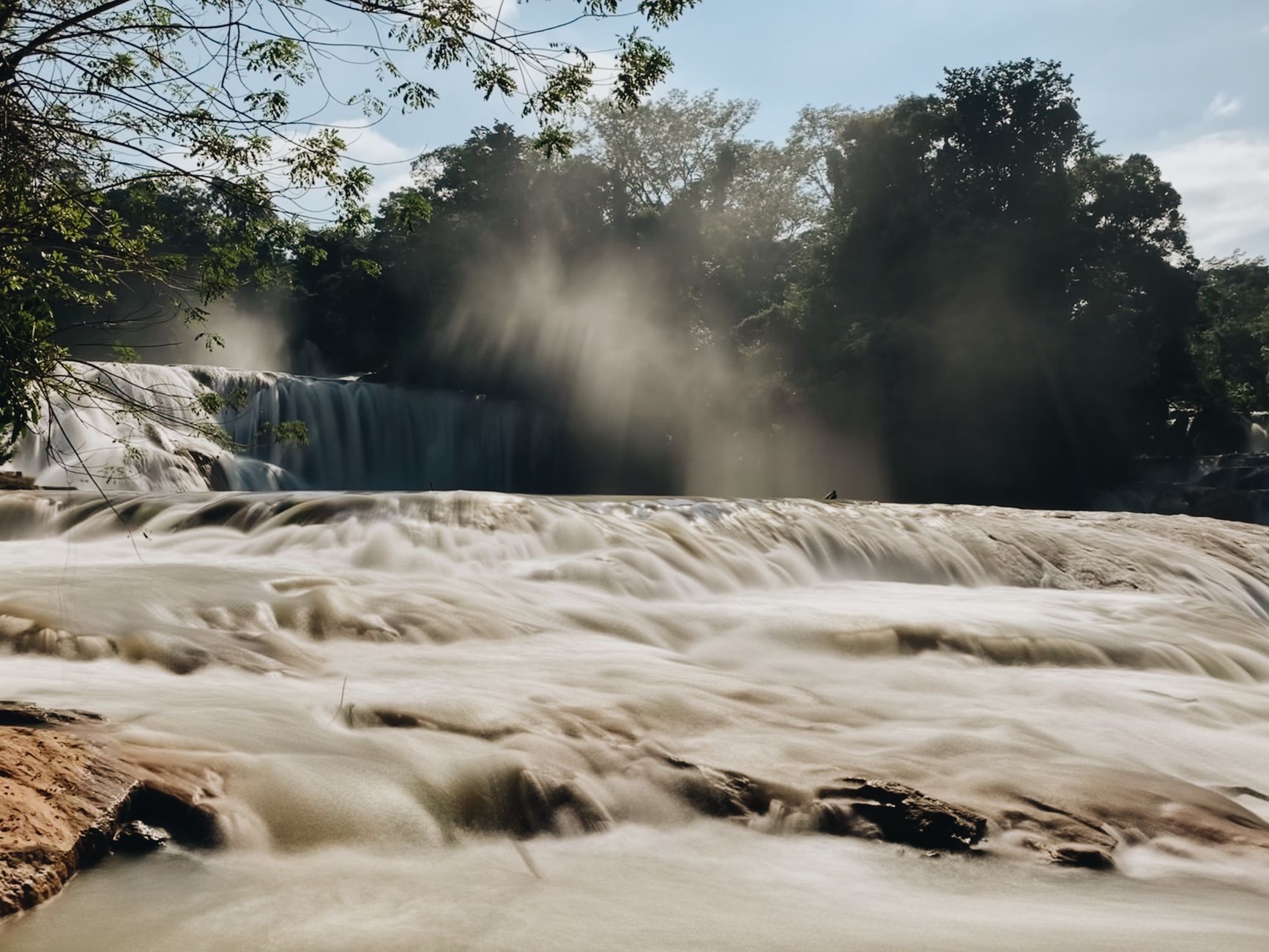
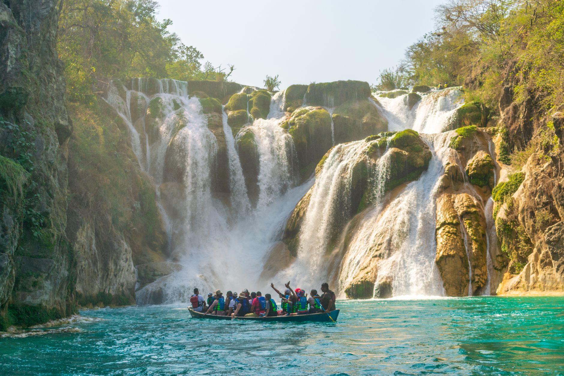

What makes Dunn's River Falls genuinely strange is that it keeps building itself. The water is spring-fed and rich with calcium carbonate, and as it moves it deposits travertine — tufa — layer by layer, continuously reconstructing the terraced rock beneath your feet. Geologists call formations like this a living phenomenon, and standing on the falls, that phrase makes sense in a way it rarely does.
The falls drop 55 metres from source to sea, ending on a white-sand beach at the edge of the Caribbean. Small lagoons pool between the vertical sections. You climb with a licensed guide — there's no other way in — either through the water itself or along a dry trail that runs alongside it.
💛 What travellers fall for
People who've done both climbs tend to say the same thing: the dry trail is easier on the feet, but the wet climb, shoes and all, moving through the actual current, is the one worth remembering. Arrive before 11am or after 3pm, and avoid Wednesdays when cruise ships are in port and the terraces fill quickly.
How Dunn's River Falls came to be
In 1657, on the ground now occupied by the park, British forces defeated a Spanish expeditionary force from Cuba in what became known as the Battle of Las Chorreras. A plaque placed by the Jamaican Historical Society at the base of the falls still marks the site. The Spanish name — Las Chorreras, meaning the streams — predates the current one, which is thought to derive from a later plantation owner, though the precise origin remains unclear.
For most of its post-colonial life the site was agricultural land. It was the growth of Jamaican tourism in the 1950s and 1960s that transformed it: stairs and walkways were added to make the climb manageable, and the falls entered a wider imagination in 1962 when they appeared in the Bond film Dr. No. In 1972, the Jamaican government acquired the Belmont property; it has been managed by the Urban Development Corporation ever since.
Who and what shaped it
People who shaped it
Landmark buildings
See Dunn's River Falls in motion
Plan your visit
On the map
When to go
The north coast stays warm year-round — January lows around 23°C, August highs around 26°C — with water temperatures that barely shift between seasons. Rainfall is heavier between May and November, October being the wettest month on average, and hurricane season runs July through November; outside those months the weather is more reliably dry, though a passing shower can come at almost any time of year.
Background & history adapted from Wikipedia (CC BY-SA) · specs from Wikidata (CC0) · weather from Open-Meteo · map data © OpenStreetMap contributors · photos from Wikimedia Commons / Unsplash with per-image credit. No third-party reviews or social posts reproduced.