
Dry Valleys (McMurdo Dry Valleys)
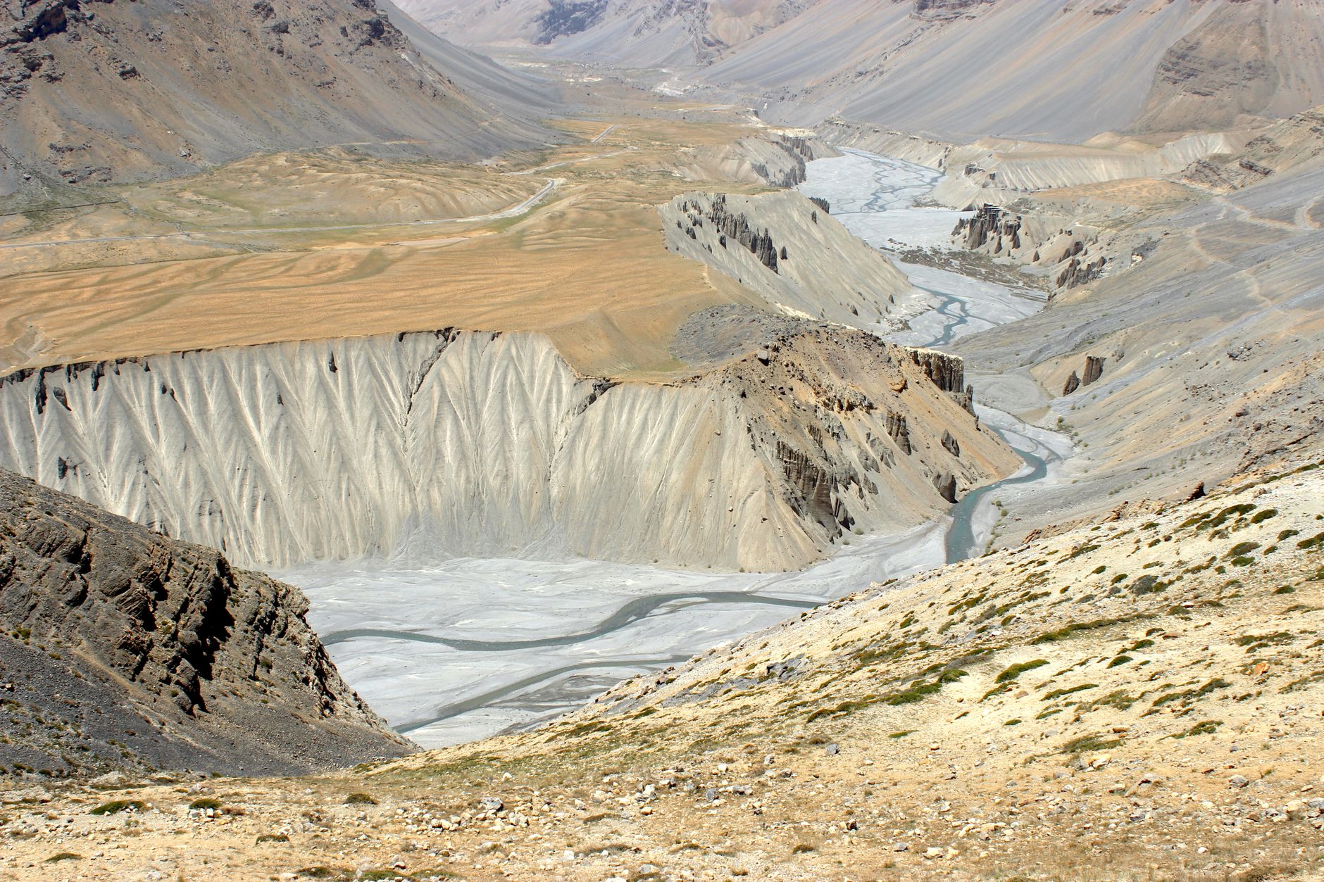
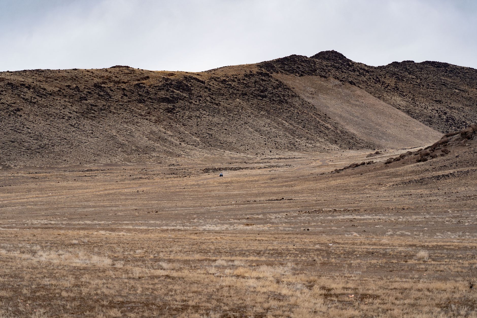
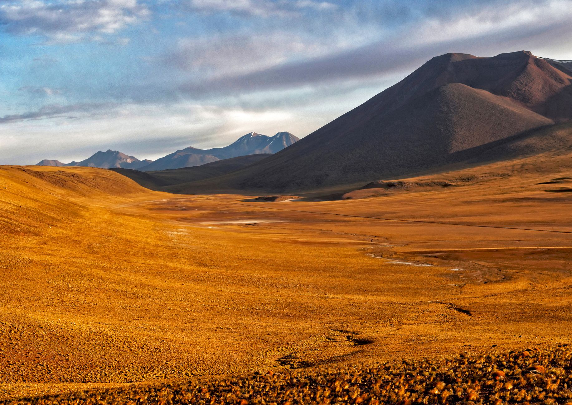
There are places on Earth that seem to have opted out of the usual rules. The McMurdo Dry Valleys, roughly 97 kilometres from Ross Island, receive less than 50 millimetres of precipitation a year and host winds that can exceed 320 kilometres per hour — winds that have spent millennia carving exposed rocks into smooth, aerodynamic forms called ventifacts. On the valley floors, Weddell seals wander in from the coast and die, and their carcasses simply mummify. There are no bacteria present in sufficient numbers to break them down.
This is the largest ice-free region on the Antarctic continent, a landscape of loose gravel, polygonal patterned ground, and glaciers — Canada, Taylor, Commonwealth — that push their tongues into valleys without quite filling them. The Onyx River, Antarctica's longest, runs here for a few weeks each summer when glacial melt permits it.
How Dry Valleys (McMurdo Dry Valleys) came to be
Captain Robert Falcon Scott first sighted the valleys in December 1903, accompanied by William Lashly and Edgar Evans during the Discovery Expedition. The terrain resisted easy interpretation — valleys without ice in a continent defined by it.
Geologist Thomas Griffith Taylor returned during Scott's Terra Nova Expedition and spent eleven weeks beginning in January 1911 mapping the region in detail; Taylor Valley carries his name today. The fuller picture of the valleys' extent came only from aerial photography in the 1950s, followed by systematic mapping under Operation Deep Freeze. A meteorological station at Lake Hoare has run continuously since 1985, and the National Science Foundation designated Taylor Valley an LTER site in 1992. The area became a formally protected Antarctic Specially Managed Area in June 2004.
Who and what shaped it
People who shaped it
Landmark buildings
See Dry Valleys (McMurdo Dry Valleys) in motion
Plan your visit
On the map
When to go
The mean annual temperature sits around −20°C across the valleys, dropping to a recorded low of −65.7°C at Lake Vida and climbing — briefly, remarkably — to 12°C at Taylor Glacier in summer. The field season runs November through February, when temperatures rise just enough to produce thin meltwater streams; outside those months, the valleys are effectively inaccessible and inert.
Right now
Background & history adapted from Wikipedia (CC BY-SA) · specs from Wikidata (CC0) · weather from Open-Meteo · map data © OpenStreetMap contributors · photos from Wikimedia Commons / Unsplash with per-image credit. No third-party reviews or social posts reproduced.