
Douro Valley
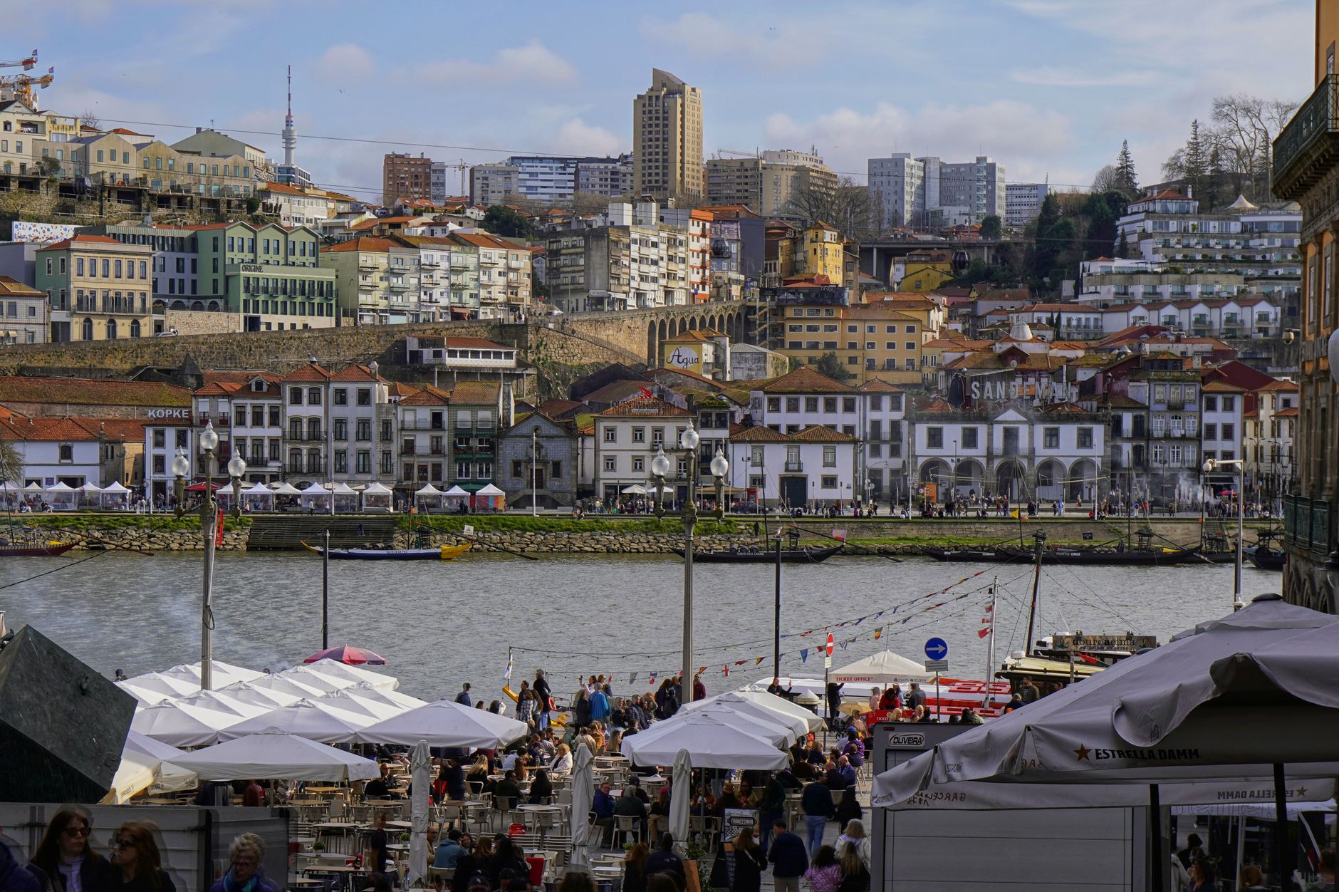
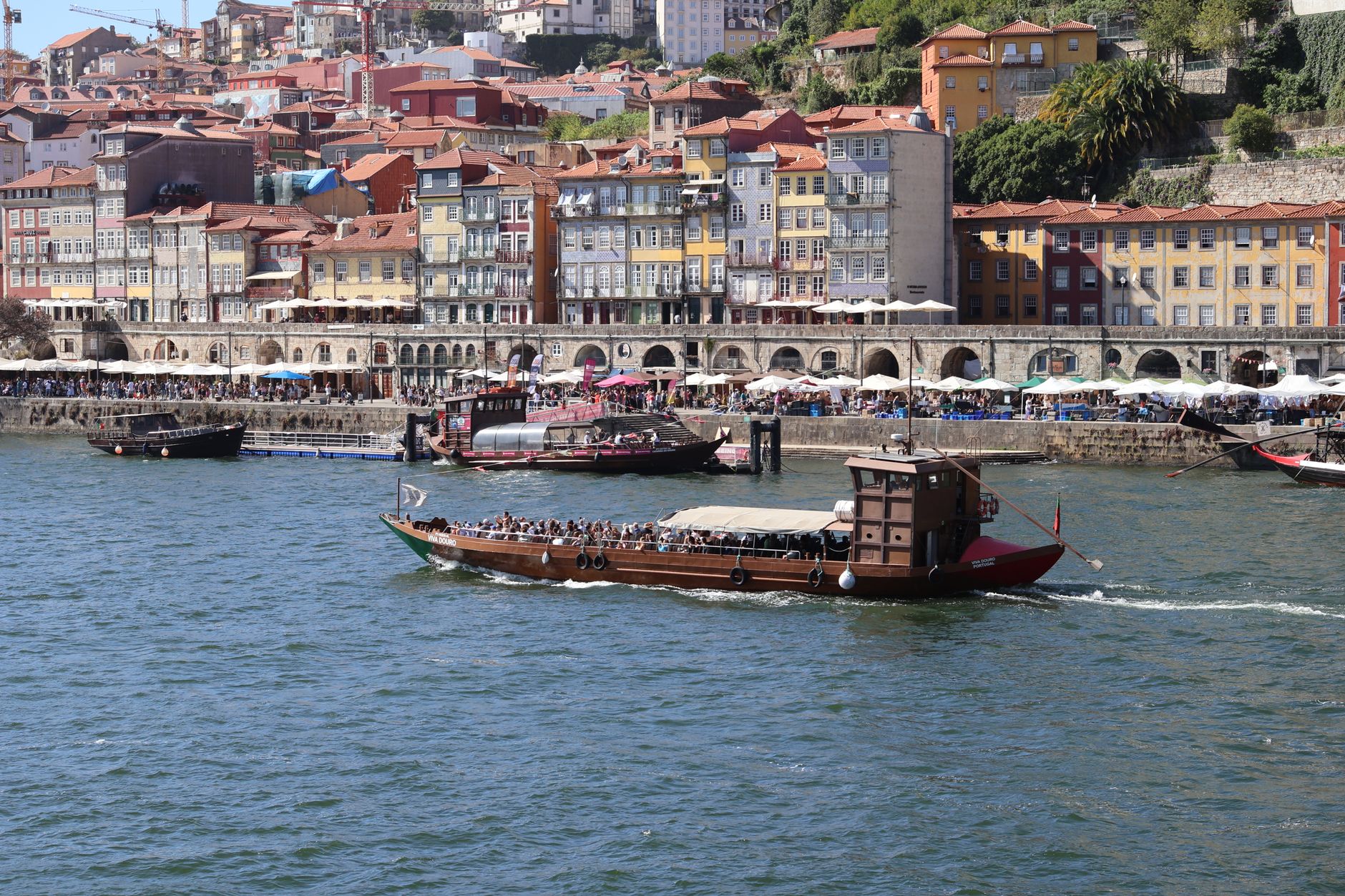
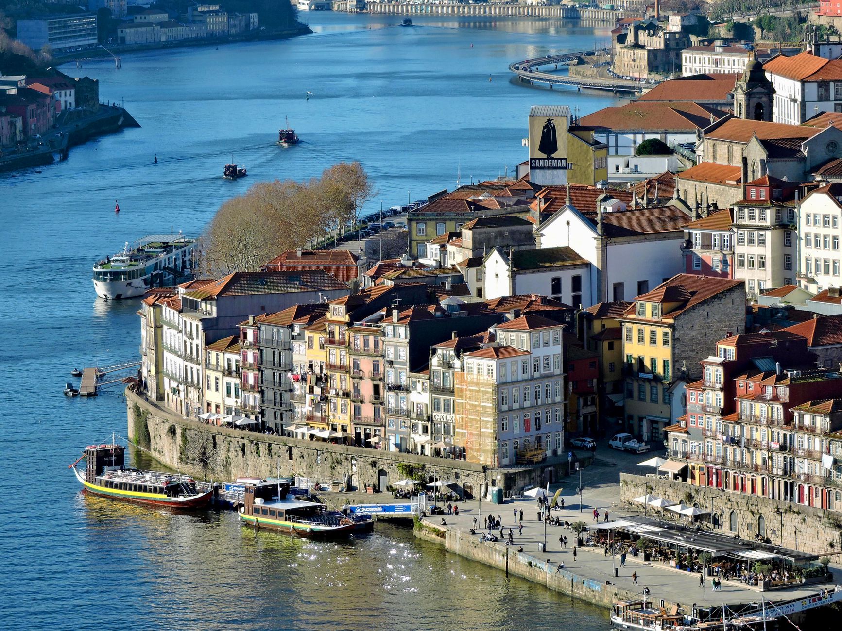
The Douro cuts east from Porto through schist and granite, and the landscape it has shaped over centuries is one of the most dramatically worked in Europe — steep slopes carved into terraces so old that some walls at Quinta do Crasto are estimated to be four hundred years standing. Every tier holds vines; every vine is fighting for water in thin, punishing soil. The river is wide and slow here, olive-green in flat light, bronze at dusk.
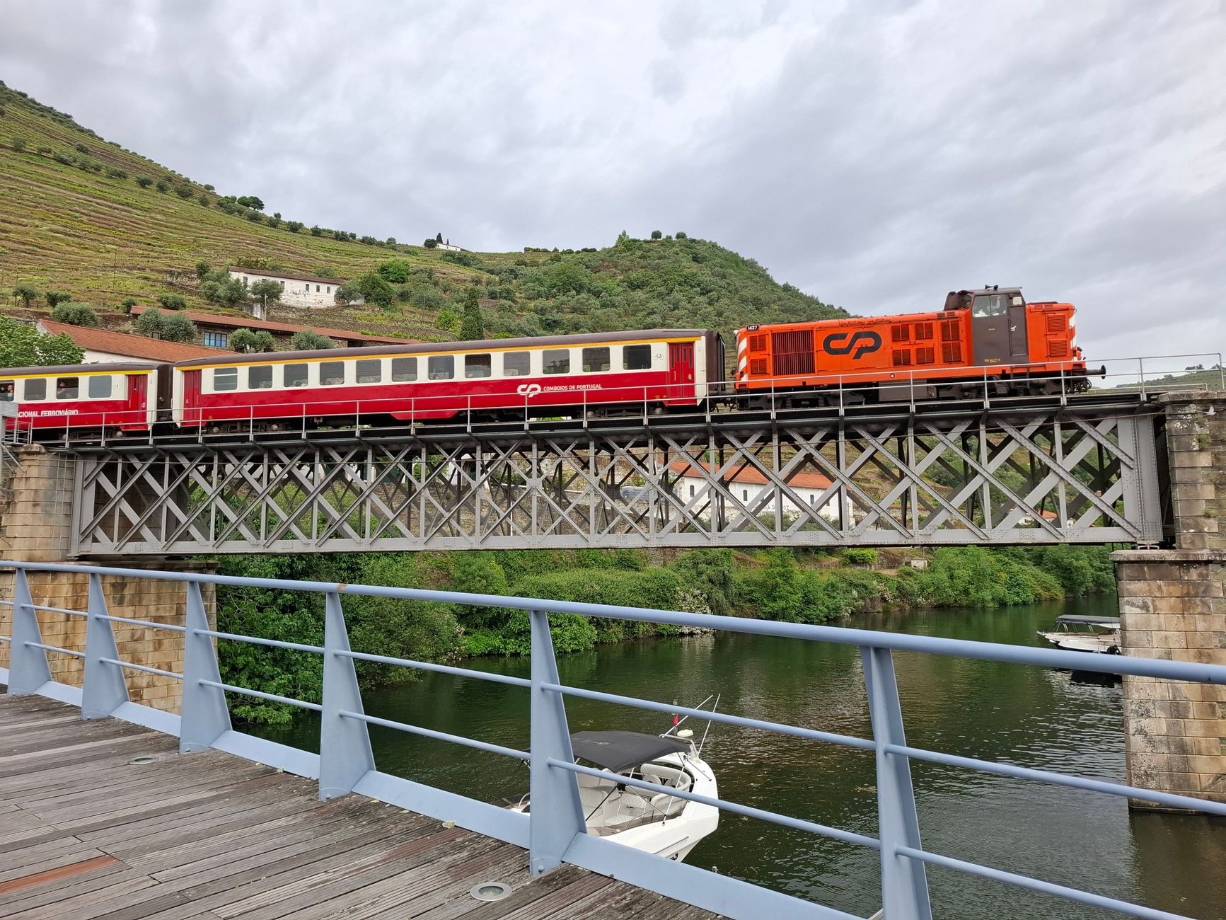
This is wine country at its most serious, but the valley asks more of you than a glass. The N222 road clings to the southern bank, the Douro Line train threads the northern one, and both routes reward a pace slow enough to notice the stone markers, the quintas perched on ridgelines, the tiled station facades at Pinhão.
💛 What travellers fall for
People who return tend to pick a single quinta as a base and stay put — mornings on the terrace watching light move across the opposite slope, afternoons following a winemaker through the cellar. The Pinhão train station, covered in azulejo panels depicting harvest scenes, is worth arriving at slowly rather than photographing from the platform and leaving.
How Douro Valley came to be
Vines have grown on these riverbanks since Roman occupation — archaeological evidence of winemaking here dates to the 3rd and 4th centuries AD. The modern story, though, begins in 1756, when the Marquis of Pombal, then first minister of Portugal, imposed a state monopoly on Port sales and drove more than three hundred stone boundary markers into the hillsides to define the production zone. The royal charter formalising this demarcation, signed on 10 September 1756, made the Douro the world's first formally delimited wine region.
The English had already been drinking the valley's wine for decades by then — the Methuen Treaty of 1703 set preferential duty rates for Portuguese wines over French, and the word 'Port wine' appears in records as early as 1675. Phylloxera tore through the vineyards in 1863, destroying the old narrow socalco terraces; much of what you see today was rebuilt in the late 19th and early 20th centuries. UNESCO recognised the Alto Douro Wine Region as a World Heritage Site in 2001.
Who and what shaped it
People who shaped it
Landmark buildings
See Douro Valley in motion
Plan your visit
On the map
When to go
Summers are hot and dry — the valley is shielded from Atlantic moisture by the Serra do Marão, and July and August temperatures regularly exceed 35°C inland. Spring (April–May) and autumn (September–October, harvest included) offer the most comfortable conditions; winters are mild but can be wet, with January highs averaging around 13°C.
Right now
Background & history adapted from Wikipedia (CC BY-SA) · specs from Wikidata (CC0) · weather from Open-Meteo · map data © OpenStreetMap contributors · photos from Wikimedia Commons / Unsplash with per-image credit. No third-party reviews or social posts reproduced.