
Diani Beach

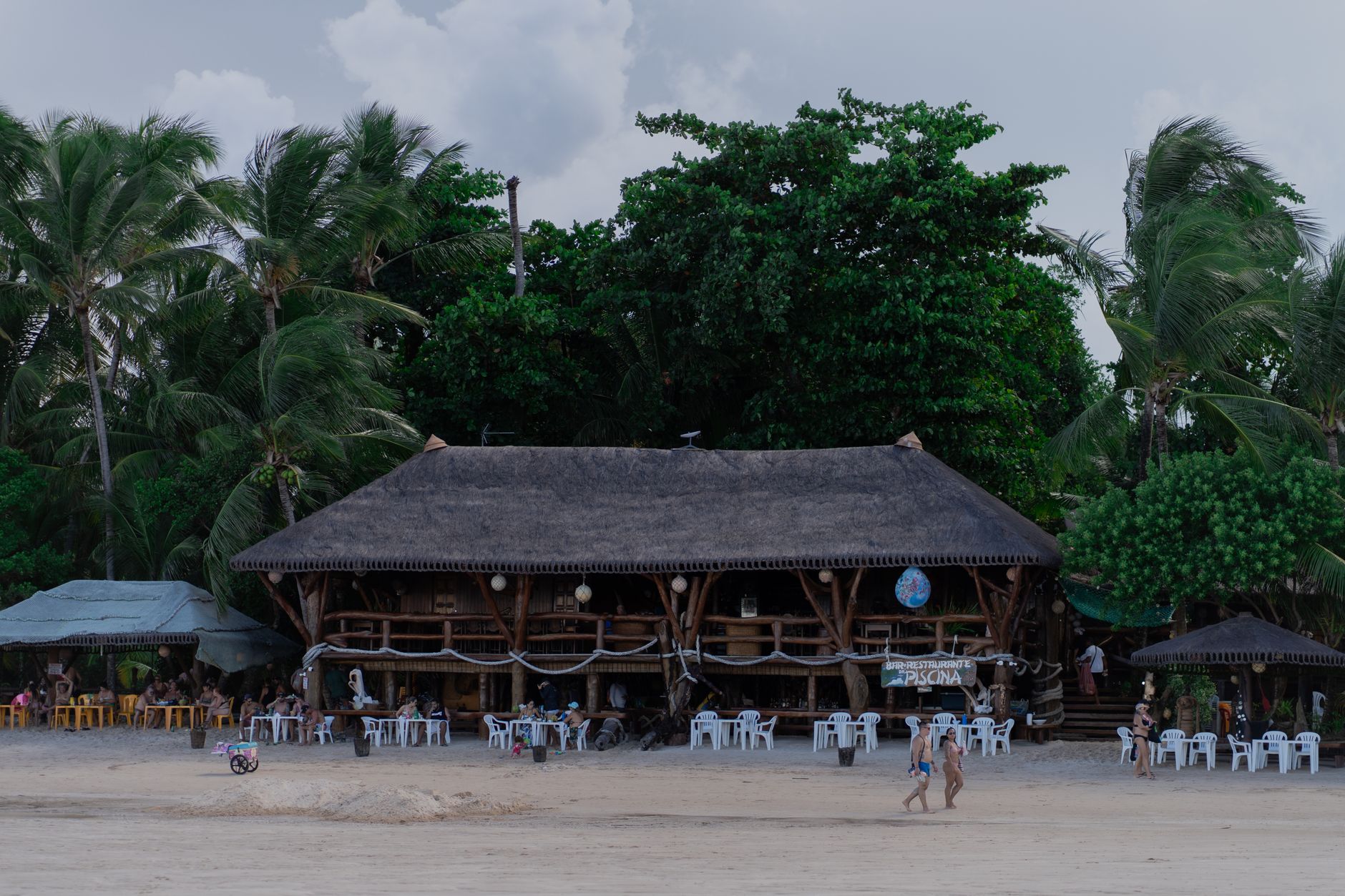

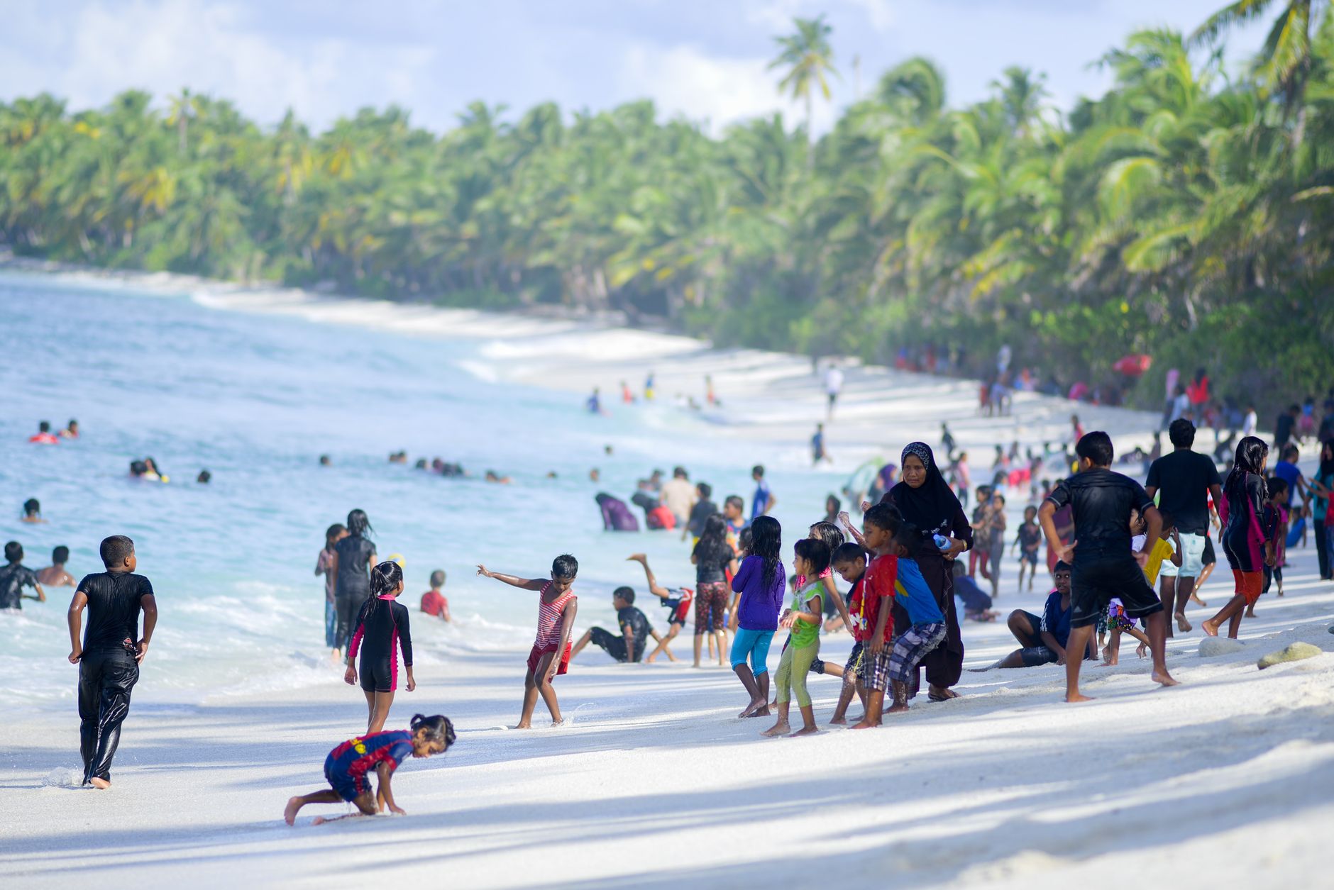
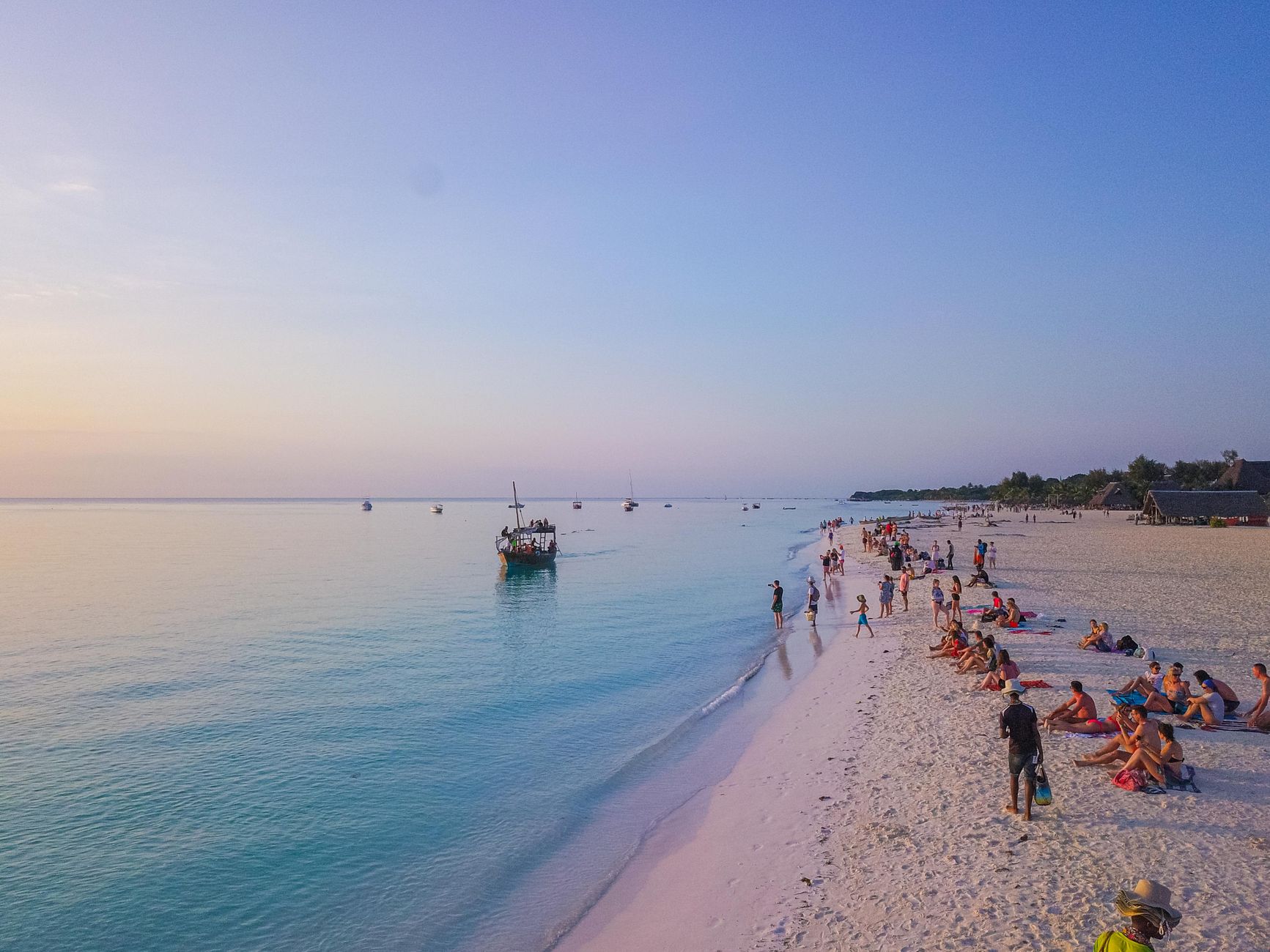
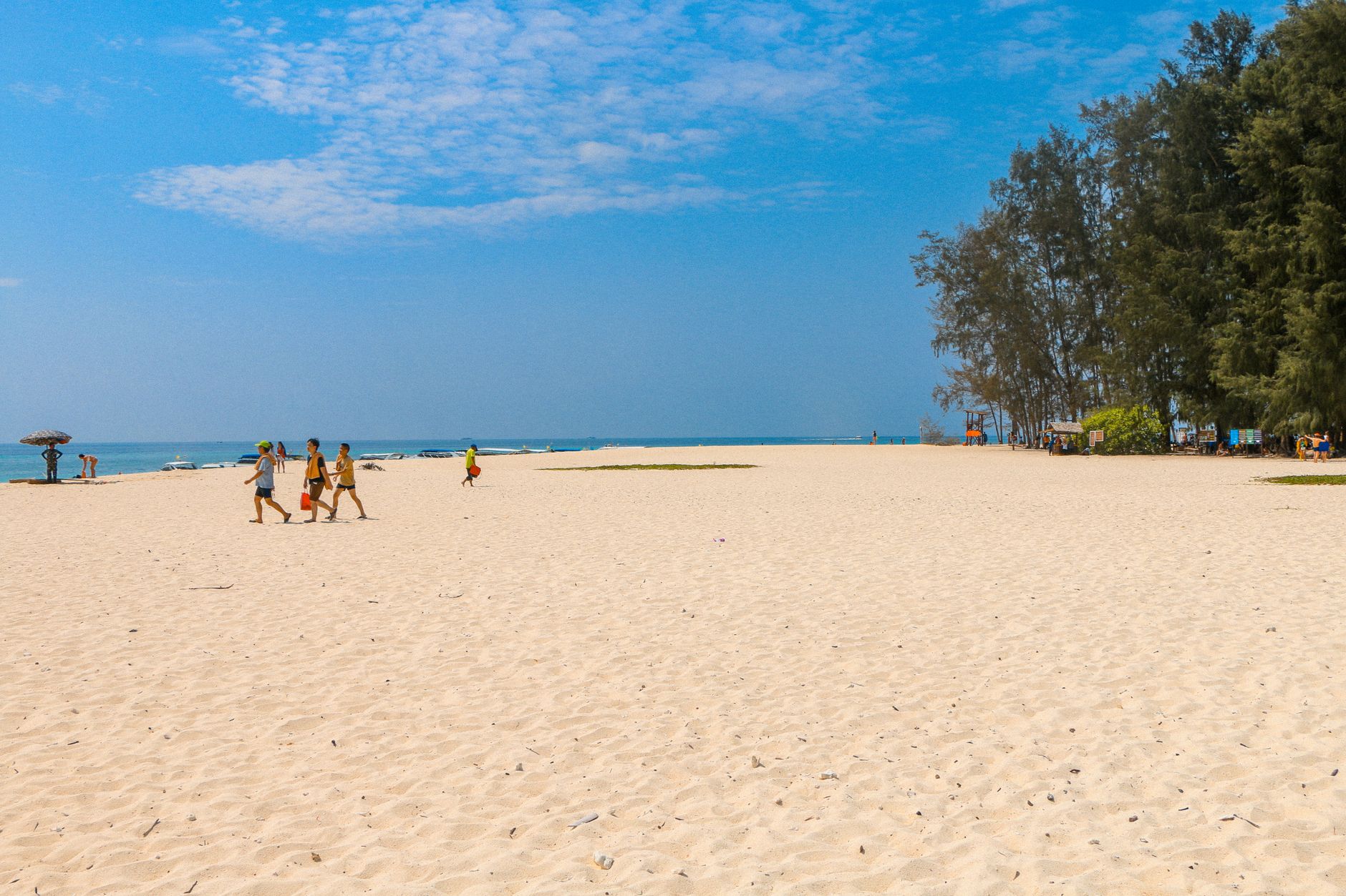
Diani runs for seventeen kilometres along Kenya's south coast — a long, coral-white beach backed by casuarina trees and the quiet territory of the Digo people, who have lived on this strip since long before the first resort appeared. The Indian Ocean here is warm and shallow close to shore, turning deep blue at the reef line, and the water temperature rarely dips below 25°C.
The place has a layered past — Arab traders, Portuguese sailors, Omani rulers, British colonials — and traces of all of them survive if you look. The Kongo Mosque, built in the 16th century, is the last standing ancient Swahili structure on the beach. Inland, Kaya Kinondo forest holds 187 plant species and a quiet that the coast road cannot offer.
How Diani Beach came to be
The coast around Diani has been inhabited and traded across since at least the 8th century AD. By the 9th century, Indian and Arab merchants were arriving regularly, intermarrying and trading with the indigenous population — a meeting that produced Swahili culture. The Portuguese came in the 15th century and held sway for roughly two hundred years before Omani Arabs displaced them. The Kongo Mosque, raised in the 16th century, is the sole architectural survivor of that long Swahili era.
Britain declared the coast a protectorate in the 19th century, and by the 1930s colonial elites were building holiday bungalows here. After Kenyan independence in 1963, the government pushed Diani toward international tourism; the large resort hotels followed. In 1995, a Marine National Park was established offshore, formalising protections for the reef that the beach had long depended on.
Who and what shaped it
Landmark buildings
See Diani Beach in motion
Plan your visit
On the map
When to go
Diani is warm year-round, with daytime temperatures between 26°C and 32°C. The long rains fall April through May, and a shorter rainy season runs October into December — outside those windows, particularly July through September and January through March, the weather is reliably dry. Water visibility for diving peaks between October and March, reaching up to thirty metres.
Right now
Background & history adapted from Wikipedia (CC BY-SA) · specs from Wikidata (CC0) · weather from Open-Meteo · map data © OpenStreetMap contributors · photos from Wikimedia Commons / Unsplash with per-image credit. No third-party reviews or social posts reproduced.