
Deception Island
Deception Island is a volcano you sail inside. The entrance, a cleft in the cliffs called Neptune's Bellows, is narrow enough that early whalers had to time the swell before steering through. Once inside, the water stills and the circle of dark hills closes around you — this is Port Foster, a submerged caldera that happens to be one of the most sheltered anchorages in the Southern Ocean.
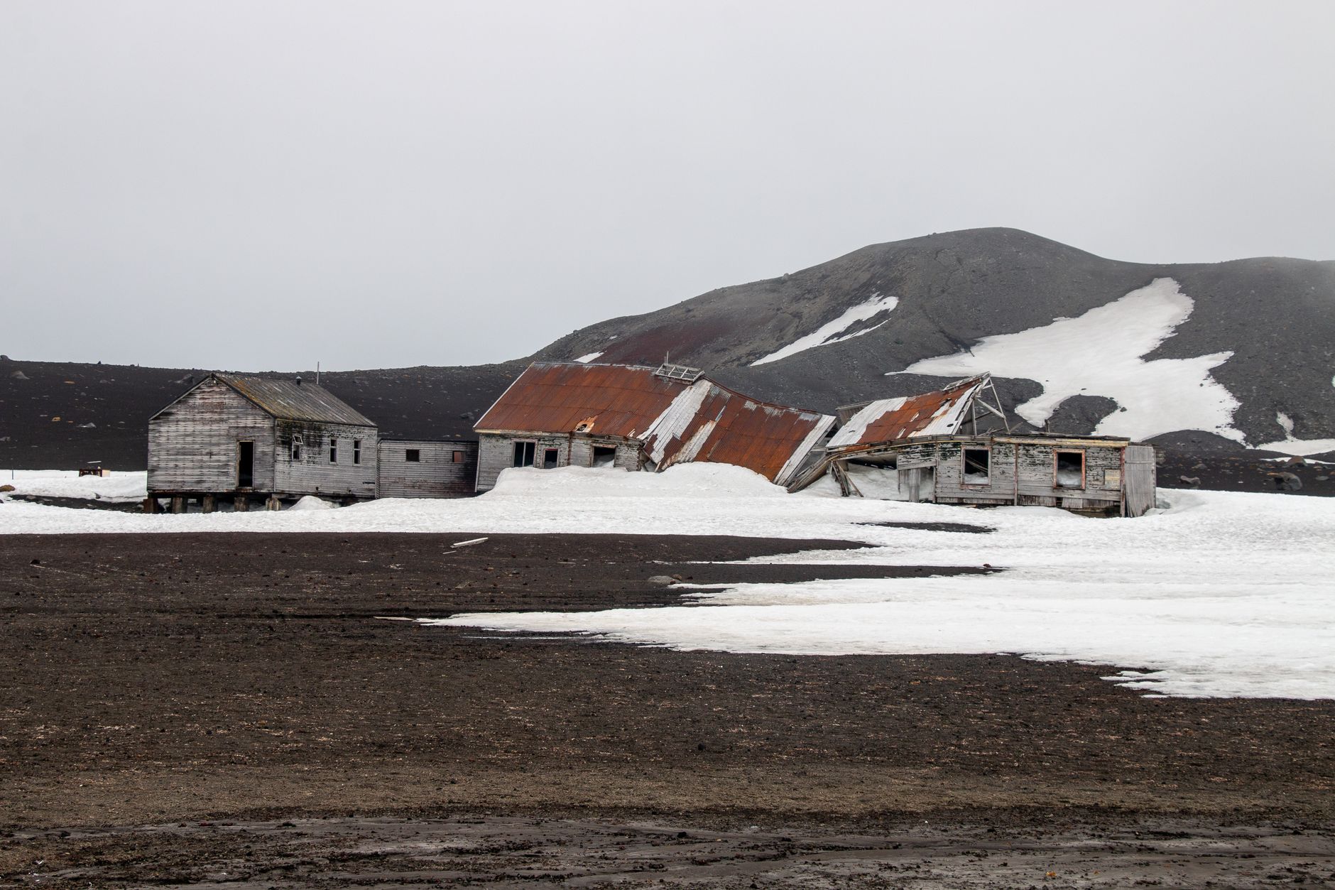
What awaits on shore is a layered record of human ambition and retreat: rusting boilers from a Norwegian whaling station, a cemetery holding 35 graves, the ghost of a wartime British base, and beaches where geothermal heat warms the black sand a few centimetres down.
How Deception Island came to be
American sealer Nathaniel Palmer first recorded the island in 1820, and within two seasons nearly a hundred ships were working its waters for fur seals. The rush collapsed by 1825 and the island sat largely empty until Norwegian captain Adolfus Andresen arrived in 1906–07 to begin whaling. The Hektor station, built in 1905 at Whalers Bay, ran until 1931, leaving behind a hand-operated railway, a radio station, and a cemetery — by far the largest in Antarctica.
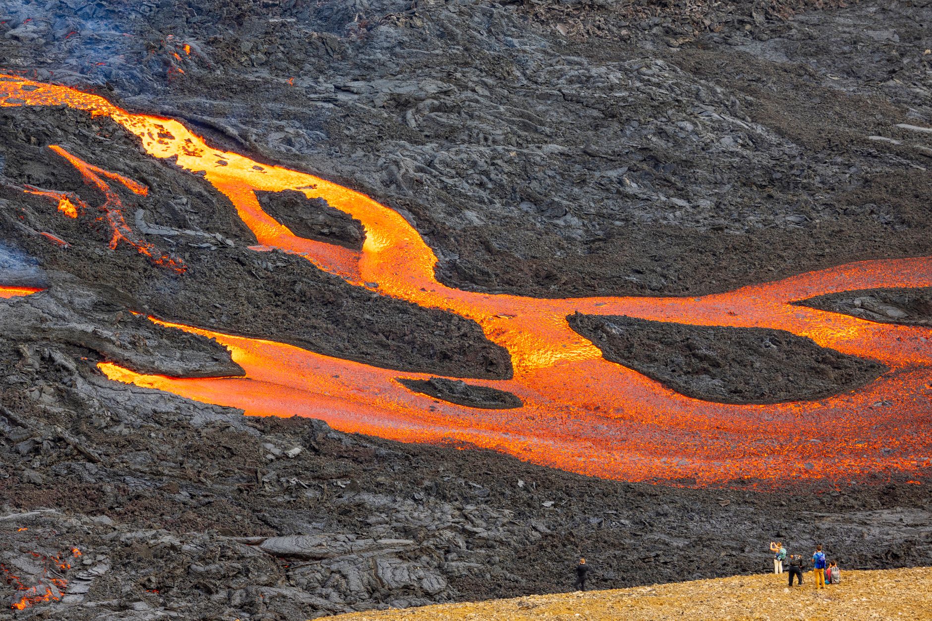
During World War II, the abandoned station became the first base of Operation Tabarin, Britain's secret Antarctic mission and the forerunner to the British Antarctic Survey. Argentina established its own station in 1948; Spain's Gabriel de Castilla Base followed in the late 1980s. Two volcanic eruptions — in 1967 and 1969 — destroyed the Argentine base and reshaped the shoreline, a reminder that the caldera beneath Port Foster is not finished.
Who and what shaped it
People who shaped it
Landmark buildings
See Deception Island in motion
Plan your visit
On the map
When to go
Expect a polar maritime climate: mean temperatures hover around -3°C annually, though summer days can reach 11°C and wind-chill can push conditions far below freezing at any time. Prevailing winds come from the northeast and west, and conditions shift quickly — layering is essential.
Right now
Background & history adapted from Wikipedia (CC BY-SA) · specs from Wikidata (CC0) · weather from Open-Meteo · map data © OpenStreetMap contributors · photos from Wikimedia Commons / Unsplash with per-image credit. No third-party reviews or social posts reproduced.