
Davao
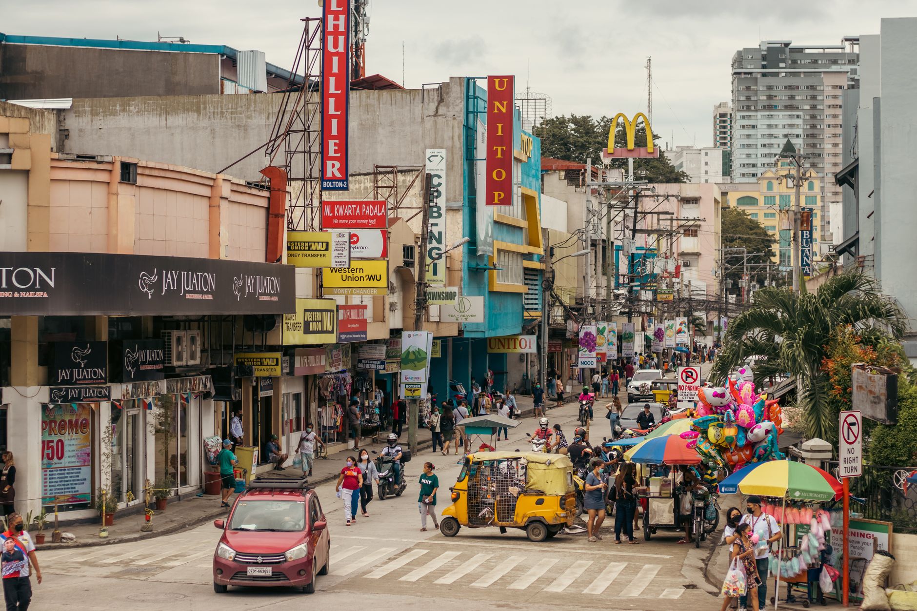
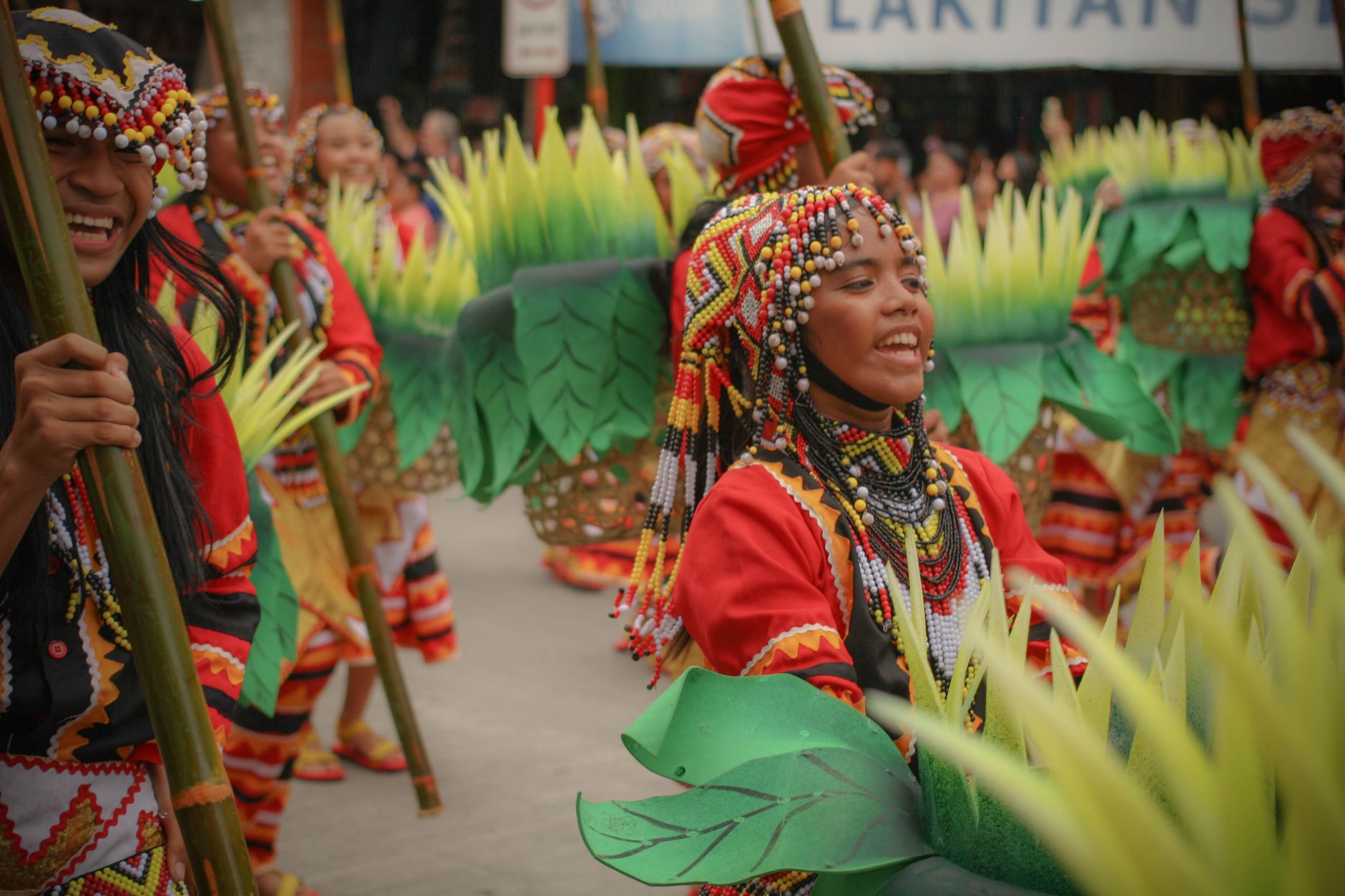
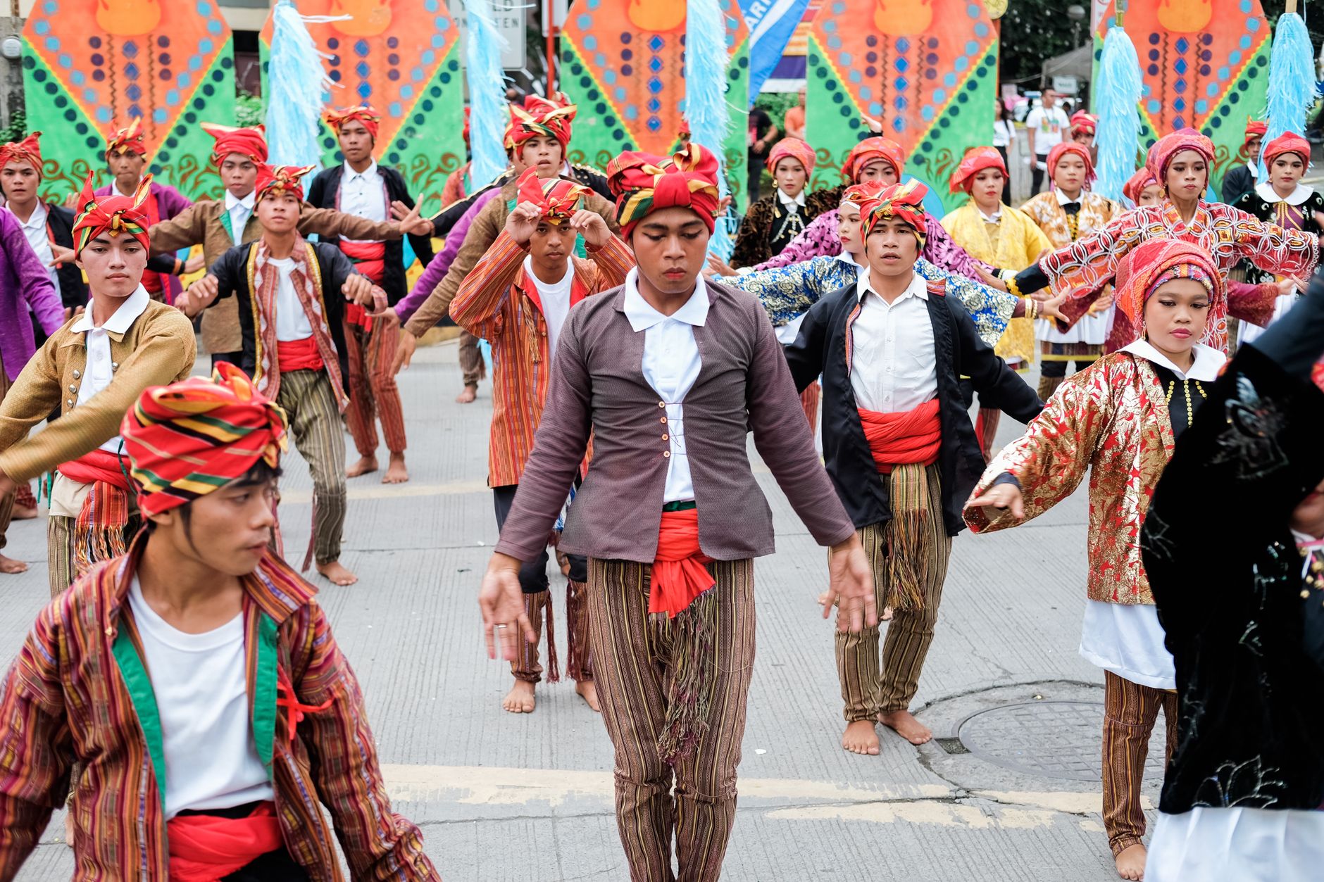
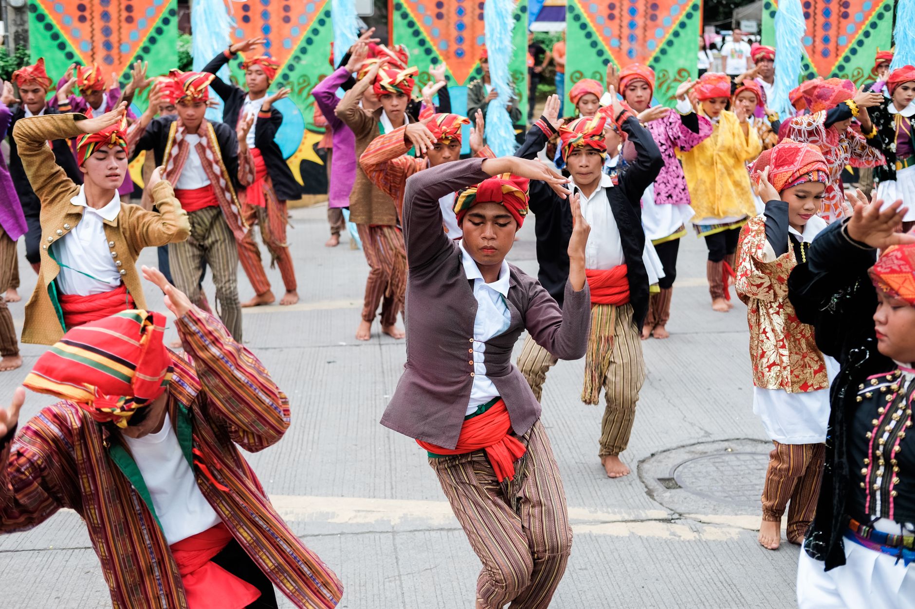
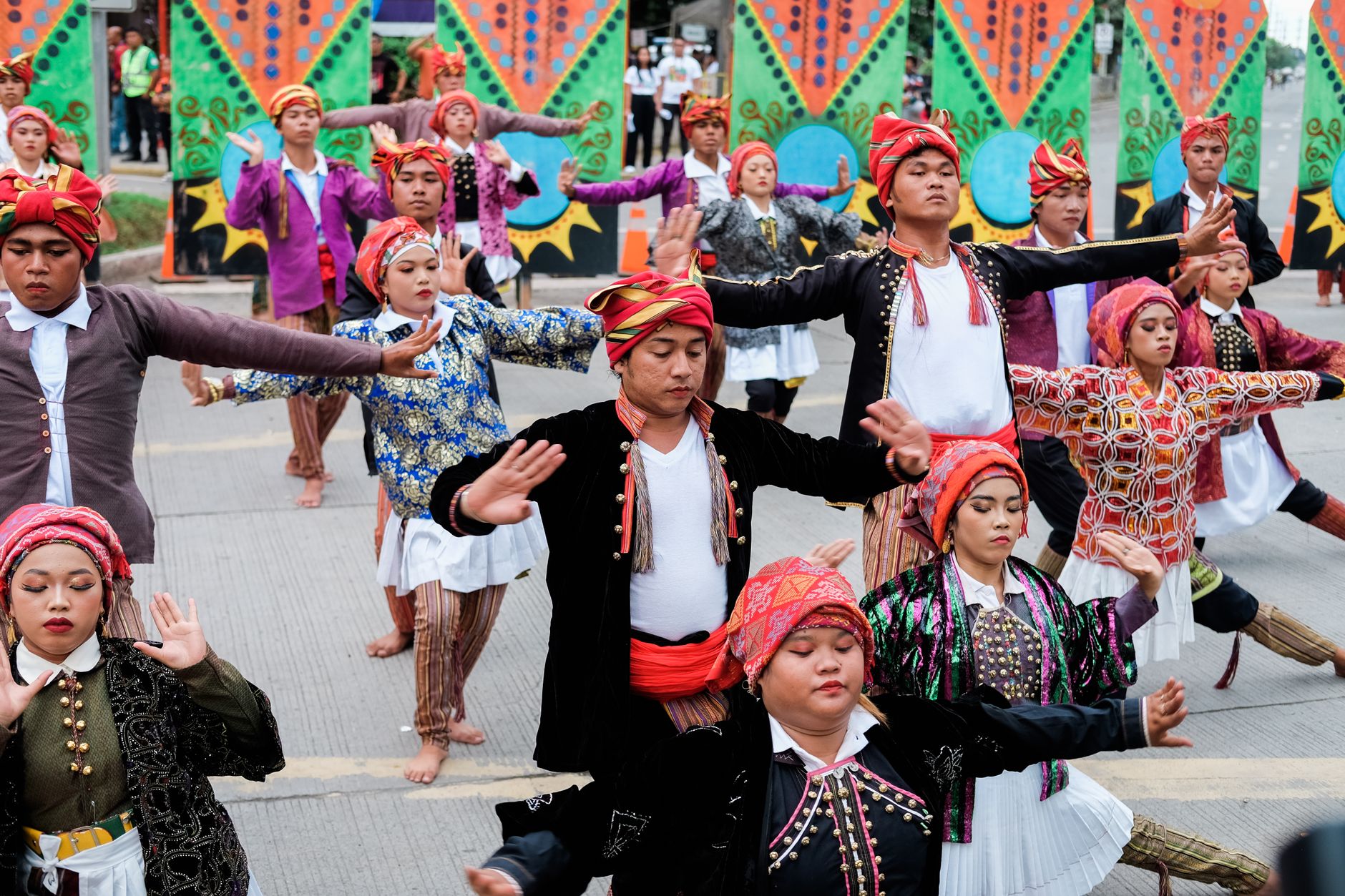
Davao sits at the southeastern edge of Mindanao, where the land pushes up into Mount Apo — the Philippines' highest peak — and the sea opens toward the Celebes. It is a city of genuine scale: one of the largest in the world by land area, though you only feel that vastness when you start moving through its barangays and realize the centre is just one small node in something much bigger.
The city trades in durian, tuna, and a reputation for order that precedes most conversations about it. Street markets smell of the fruit that divides opinion everywhere it travels. The waterfront faces Samal Island across a short strait, and the pace, compared to Manila, is noticeably lower.
How Davao came to be
A Spanish colonial officer, Don José Oyanguren, pushed into this territory in 1848, founding a settlement he called Nueva Vergara after his hometown. He met fierce resistance from the local chieftain Datu Bago, but the settlement held. By 1850 a royal decree had formalized the surrounding province as Nueva Guipúzcoa. The name Davao came in 1867, and the town grew slowly under successive administrative reorganizations through the Spanish and then American colonial periods.
The Americans left a clearer mark on the built environment — Davao City Hall, begun in 1927, follows the neoclassical template they imposed across Philippine civic architecture. The city was formally chartered on March 1, 1937, absorbing surrounding districts into its considerable boundaries.
Who and what shaped it
People who shaped it
Landmark buildings
See Davao in motion
Plan your visit
On the map
When to go
Davao sits on the equator's edge and behaves accordingly: warm and humid every month, with temperatures hovering between 27°C and 29°C year-round and occasional spikes toward 36°C. Rain falls in every season, but the months from February to April are measurably drier — still expect afternoon showers, just fewer of them.
Right now
Background & history adapted from Wikipedia (CC BY-SA) · specs from Wikidata (CC0) · weather from Open-Meteo · map data © OpenStreetMap contributors · photos from Wikimedia Commons / Unsplash with per-image credit. No third-party reviews or social posts reproduced.