
Darién National Park

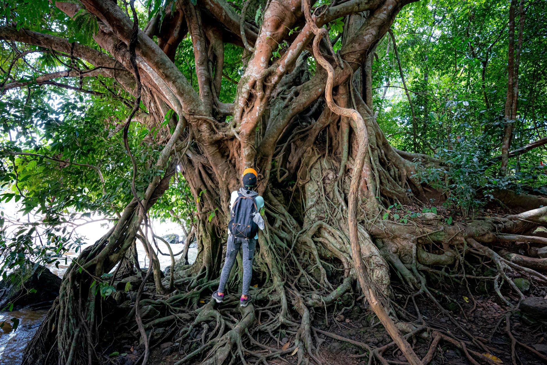
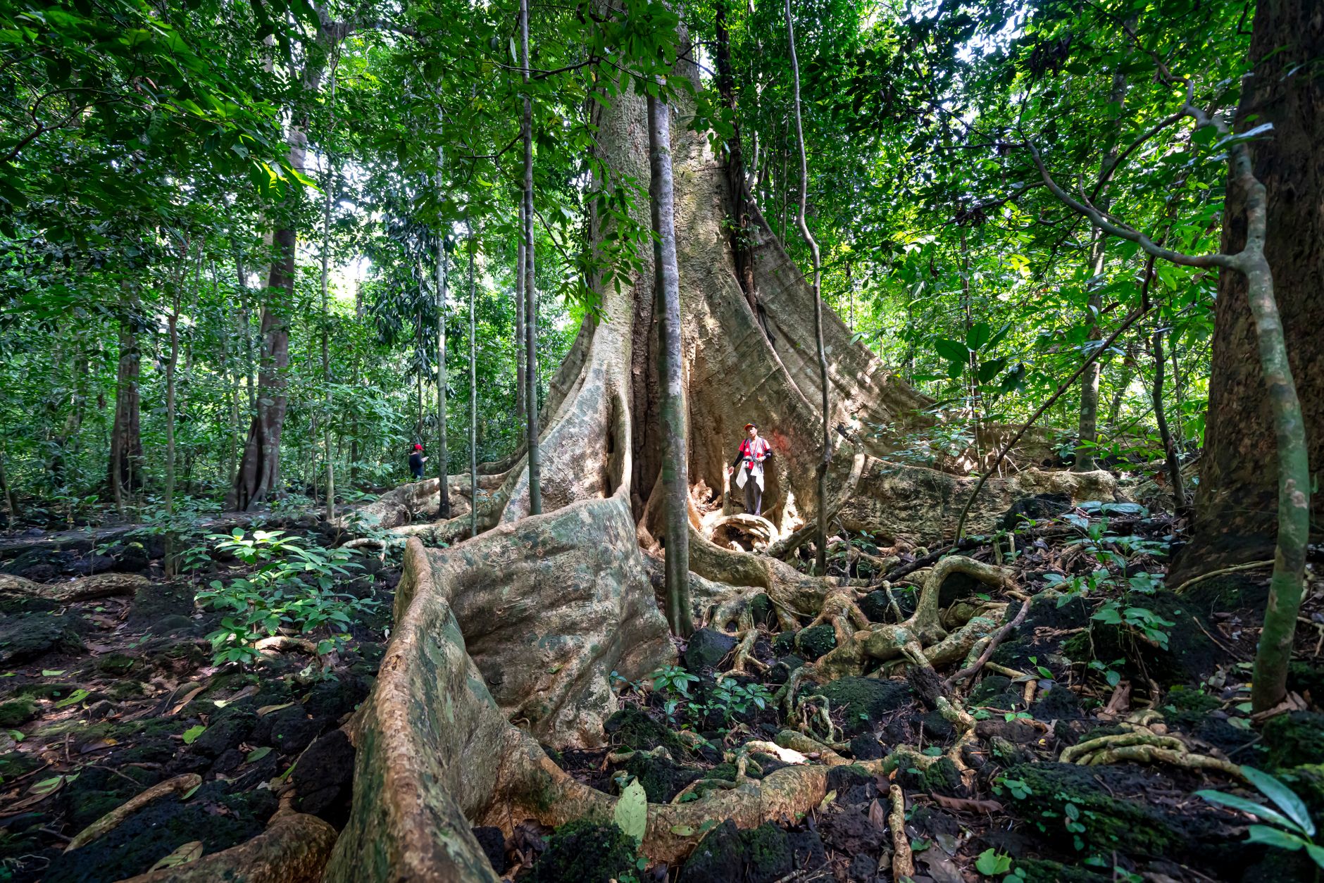
The Pan-American Highway ends at Yaviza, and from there the road simply stops. What continues is the Darién — roughly 575,000 hectares of lowland rainforest, cloud-wrapped ridgelines, and rivers wide enough to swallow a morning's light. It is one of the most biologically dense places on the continent, home to harpy eagles, four species of macaw, jaguars, and the Emberá, Wounaan, and Kuna peoples who have lived within it for centuries.
Getting in takes planning and commitment: a seven-hour drive from Panama City, then a boat up the Río Pirre, then a hike. The two main entry points — Cana, near the old Spanish gold mines on Cerro Pirre's eastern slope, and Pirre Station on the other side — are basic, solar-powered, and genuinely remote. That is the point.
How Darién National Park came to be
The area was designated the Alto Darién Forest Reserve in 1972, then elevated to national park status in 1980. UNESCO listed it as a World Heritage Site in 1981 and a Biosphere Reserve the following year — an unusually swift recognition of its ecological significance. The Spanish had reached this territory centuries earlier: gold was extracted from Cana as early as 1665, and the ruins of that enterprise still sit near what is now a small scientific station with an airstrip.
Indigenous and Afro-descendant communities have inhabited eastern Panama for centuries, and the Emberá remain the park's primary indigenous residents, practicing forms of land use shaped by long familiarity with the forest's rhythms rather than extraction from them.
Who and what shaped it
Landmark buildings
See Darién National Park in motion
Plan your visit
On the map
When to go
Temperatures hold steady between 24–30°C year-round, but rainfall varies enormously by elevation — Pacific slopes can receive over 4,000 mm annually, while central valleys get closer to 1,800 mm. The dry season runs mid-December through mid-April; October and November bring the heaviest rains and serious river flooding, which can shut down access entirely.
Right now
Background & history adapted from Wikipedia (CC BY-SA) · specs from Wikidata (CC0) · weather from Open-Meteo · map data © OpenStreetMap contributors · photos from Wikimedia Commons / Unsplash with per-image credit. No third-party reviews or social posts reproduced.