
Dammam
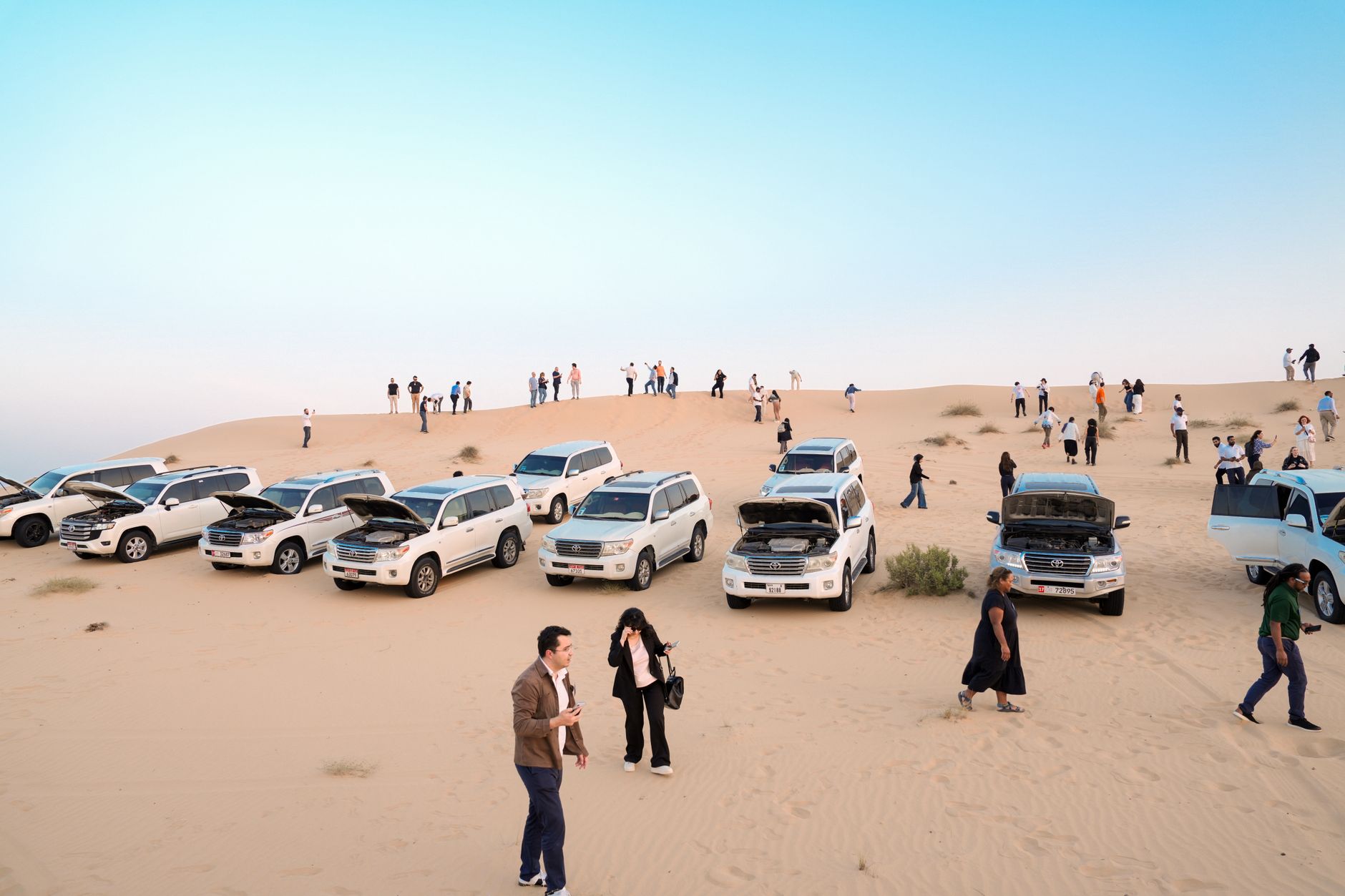

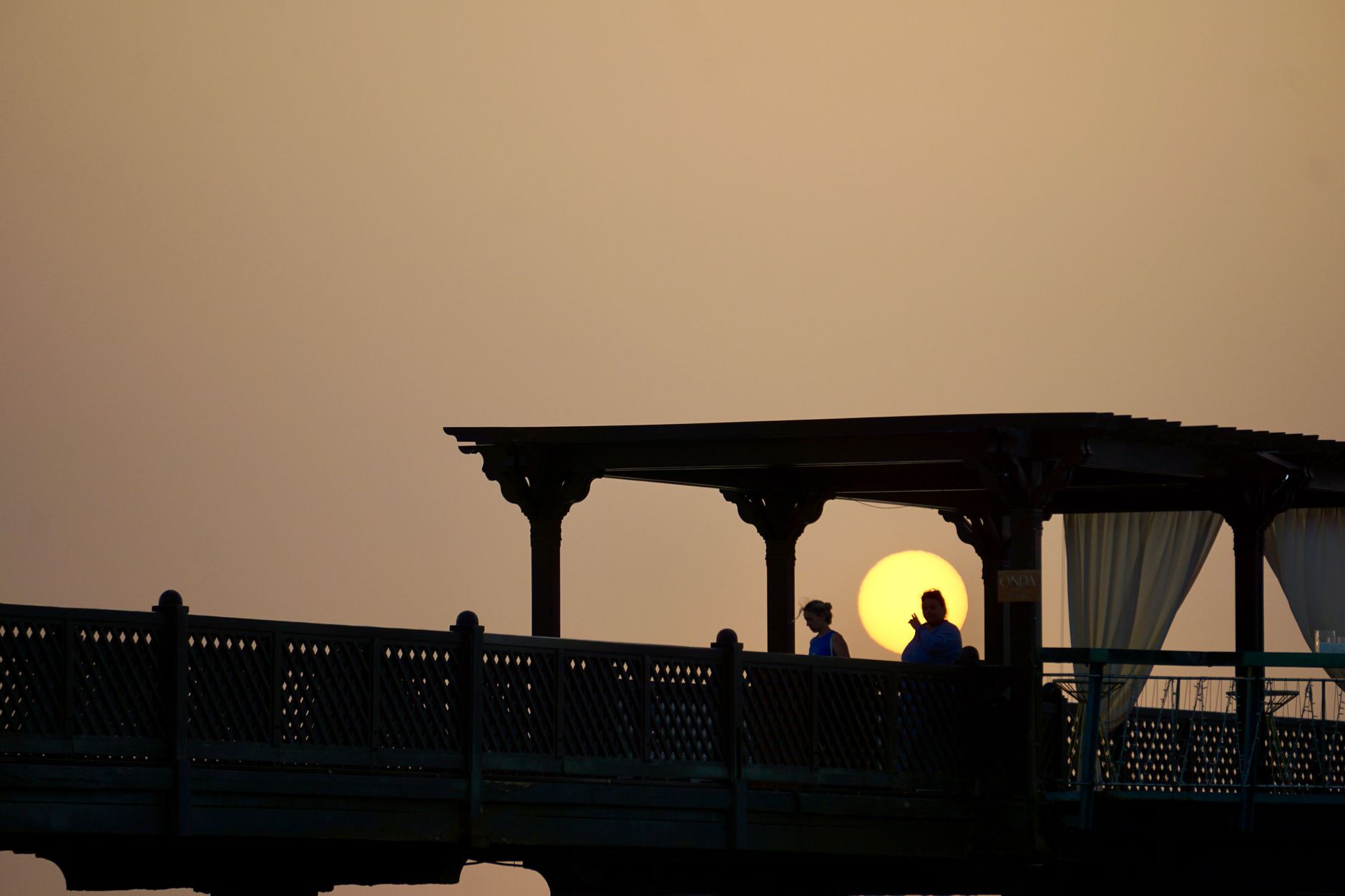
Dammam sits where the Arabian Gulf meets a grid of wide, deliberate roads — a city that grew not from centuries of gradual accumulation but from a single seismic event: oil, struck in March 1938 at Well No. 7, roughly 1,440 metres down. That fact remade everything. The fishing hamlet the Dawasir tribe settled in the early 1920s became the administrative capital of the Eastern Province and, eventually, the gateway to Saudi Arabia's Gulf coast.
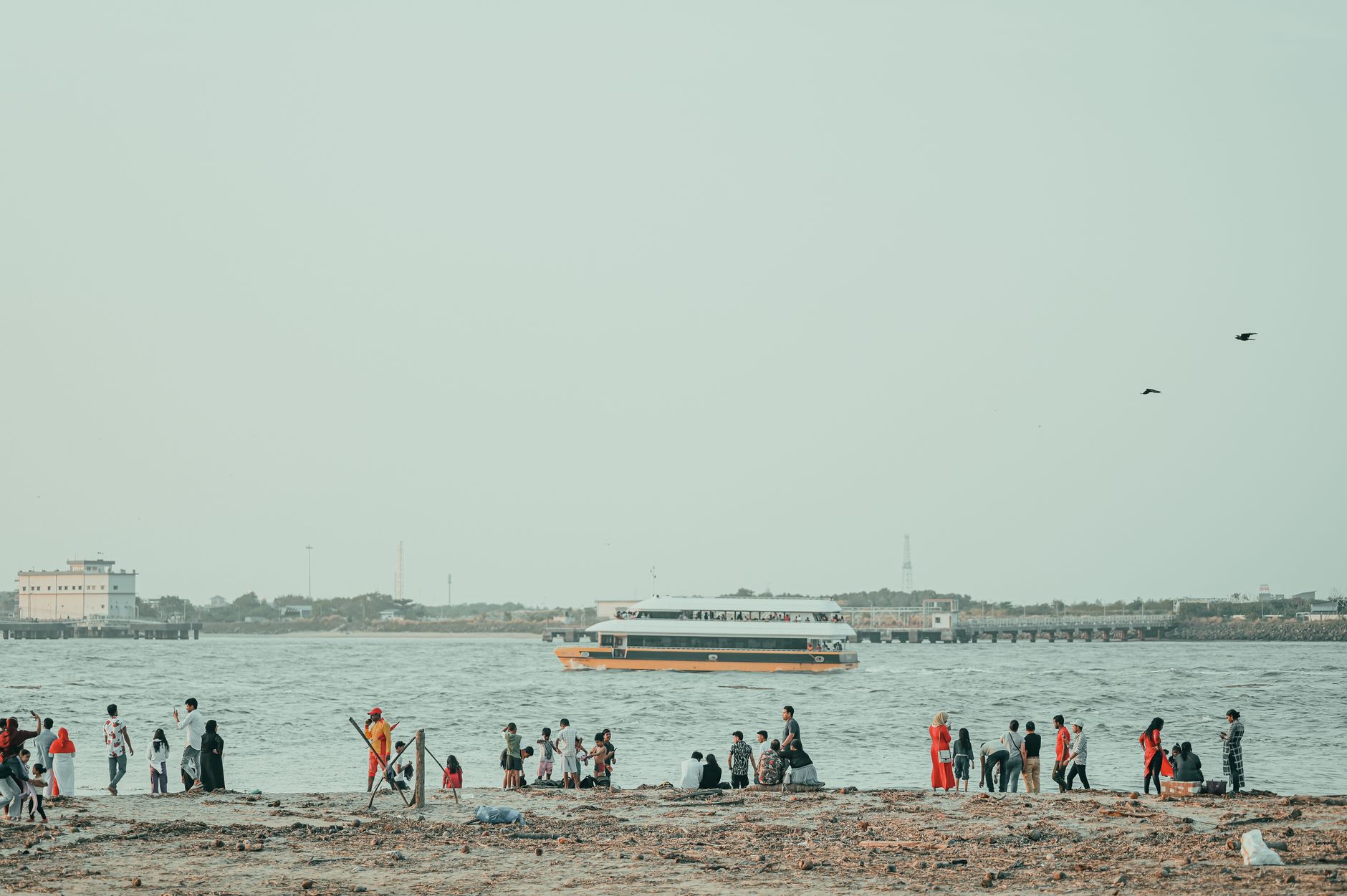
The waterfront corniche is where the city exhales. Evenings draw people out to the walkways along the Arabian Gulf, and seafood — pulled from those same waters — anchors the local table. The King Fahd Causeway, stretching 25 kilometres to Bahrain, means the city has long been porous, connected, a place in motion.
How Dammam came to be
In 1923, the Dawasir tribe settled this stretch of Gulf shore with permission from King Ibn Saud — at the time, little more than a fishing community. The transformation came fifteen years later, when Dammam oil well No. 7 struck crude at 1,440 metres in March 1938, setting off the development that would define the Eastern Province and, in many ways, modern Saudi Arabia. Dammam was designated the region's capital, and infrastructure followed: the port, named King Abdulaziz Port, was expanded in 1961 and now ranks among the largest on the Persian Gulf.
The decades after brought King Faisal University in 1975 and King Fahd International Airport in 1999. Land reclamation pushed the city's footprint steadily into the Gulf's shallow waters, and desalination plants now supply millions of cubic feet of fresh water daily — a city, in other words, that manufactures the basic conditions of its own existence.
Who and what shaped it
People who shaped it
Landmark buildings
See Dammam in motion
Plan your visit
On the map
When to go
Winters are the window: December through February brings days in the low twenties with cool nights that can dip toward 1°C, and November through March keeps humidity and heat at their most manageable. From May onward the heat climbs past 40°C, and summer dust storms can reduce visibility across the city for days at a stretch.
Right now
Background & history adapted from Wikipedia (CC BY-SA) · specs from Wikidata (CC0) · weather from Open-Meteo · map data © OpenStreetMap contributors · photos from Wikimedia Commons / Unsplash with per-image credit. No third-party reviews or social posts reproduced.