
Dambulla
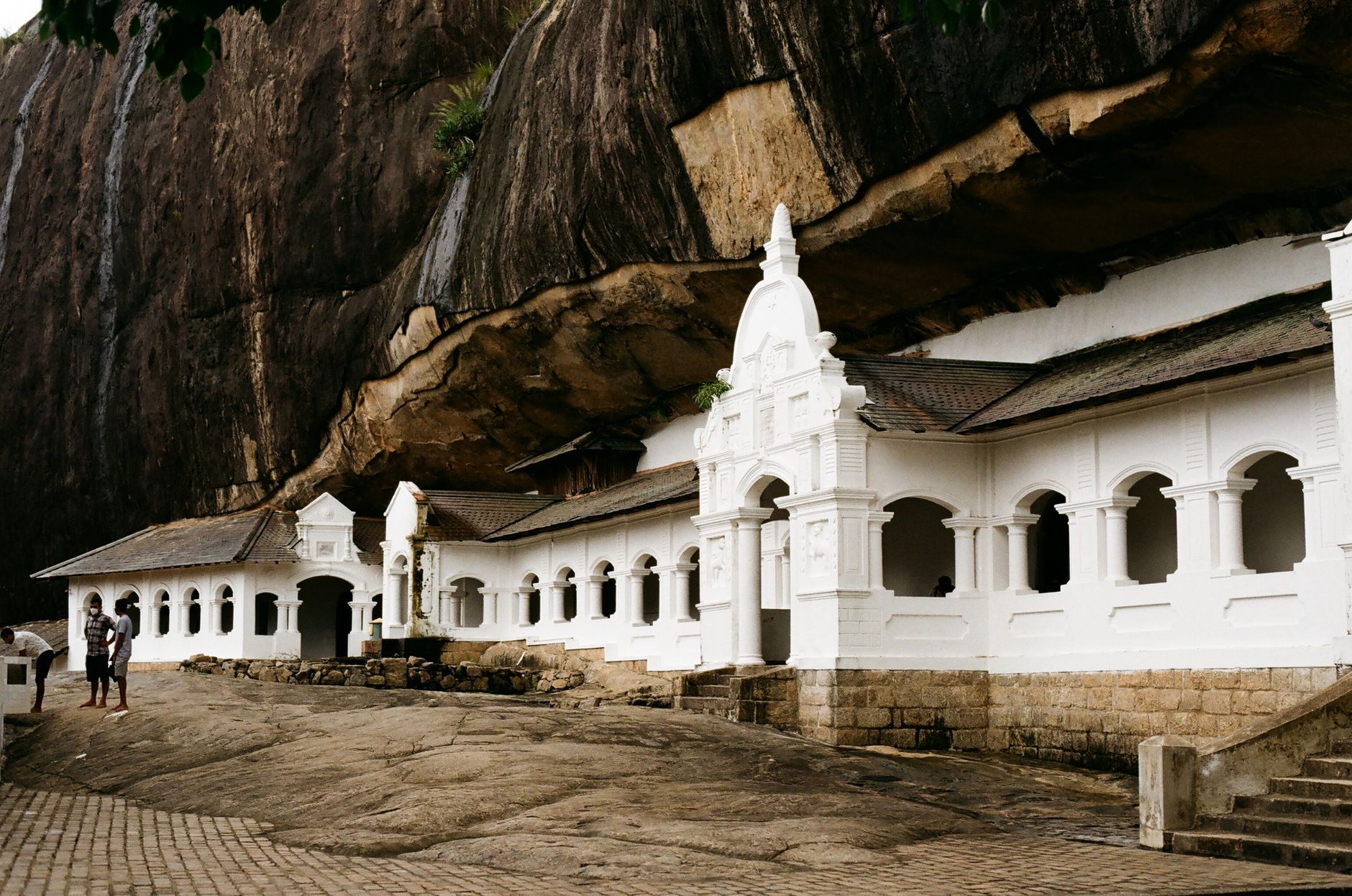
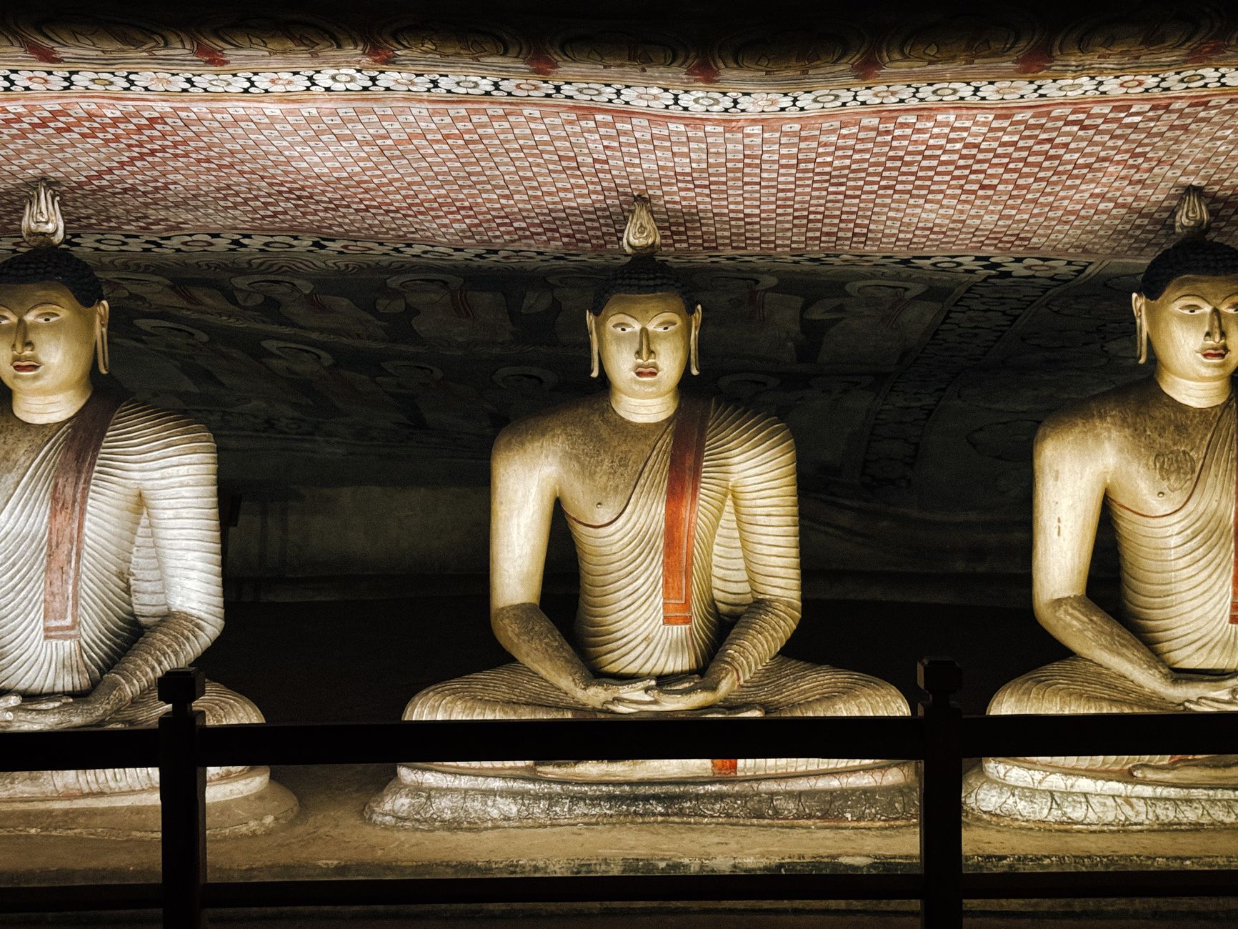
A 160-metre slab of rock rises out of the dry plains of Sri Lanka's Cultural Triangle, and carved into its base are five cave temples that have been in continuous use for more than two thousand years. The murals inside cover 2,100 square metres of ceiling and wall; the largest reclining Buddha, cut directly from the living rock, stretches fifteen metres. Monks were here before the caves had a name.
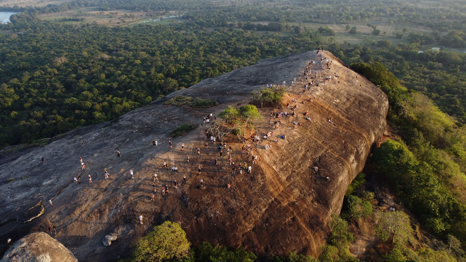
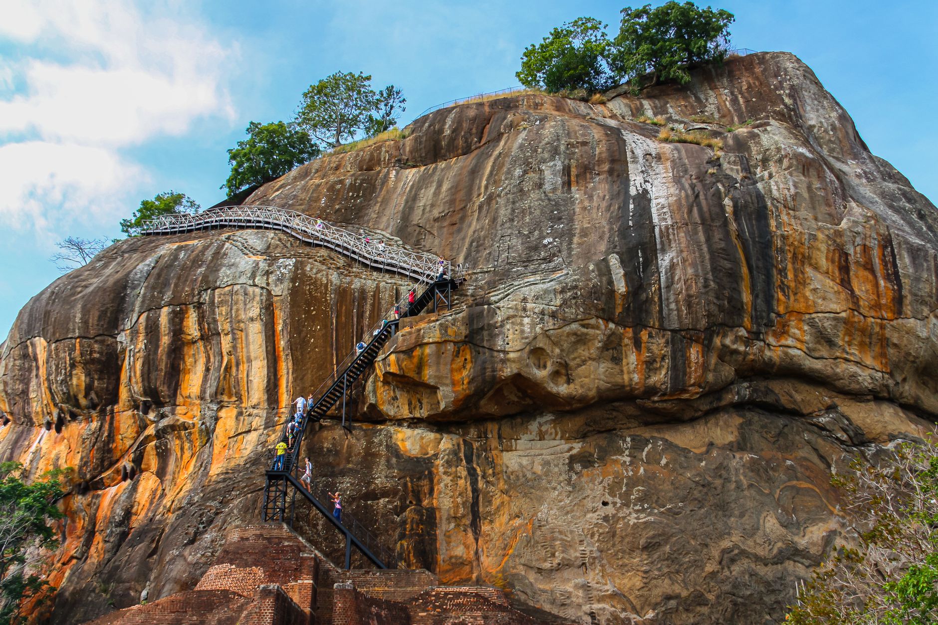
Dambulla is the region anchoring the north-central interior — a practical base for reaching Sigiriya, 19 kilometres away on a clear day's visible horizon, while carrying its own deep weight. The cave complex is the centrepiece, but the surrounding plains, the old A9 road, and the slow pace of the market town give the area a texture that outlasts any single site.
How Dambulla came to be
People have lived in these caves since at least the third century BCE. The formal story begins in the first century BCE, when King Valagamba — driven from his throne — took shelter here during fourteen years of exile. On reclaiming power, he commissioned the rock temple as an act of gratitude, establishing the complex that still stands.
The caves were enriched by successive rulers over the following centuries. In 1190, King Nissanka Malla of Polonnaruwa gilded the interiors and installed around seventy Buddha statues. The densely painted ceilings in Kandy style — among the finest surviving examples of that tradition — were added under King Kirti Sri Rajasinha between 1747 and 1782. UNESCO recognised the site in 1991.
Who and what shaped it
People who shaped it
Landmark buildings
See Dambulla in motion
Plan your visit
On the map
When to go
Dambulla sits in Sri Lanka's dry zone and stays warm year-round, with daytime temperatures between 29°C and 35°C. The heaviest rains fall October through December; if you can choose, March through early September offers the driest and most manageable conditions for the exposed climb to the caves.
Right now
Background & history adapted from Wikipedia (CC BY-SA) · specs from Wikidata (CC0) · weather from Open-Meteo · map data © OpenStreetMap contributors · photos from Wikimedia Commons / Unsplash with per-image credit. No third-party reviews or social posts reproduced.