
Dalmatian Coast
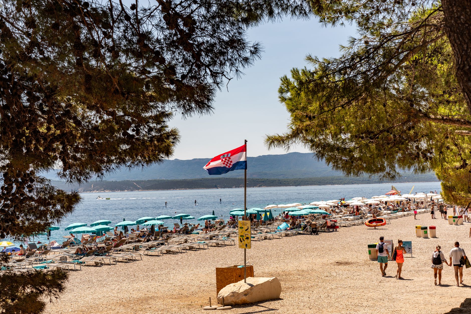
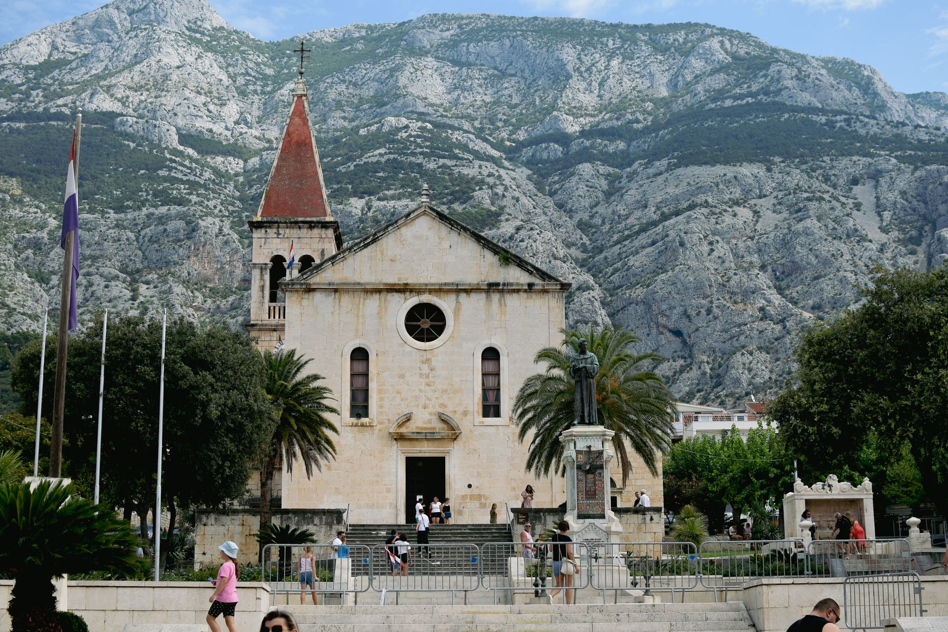
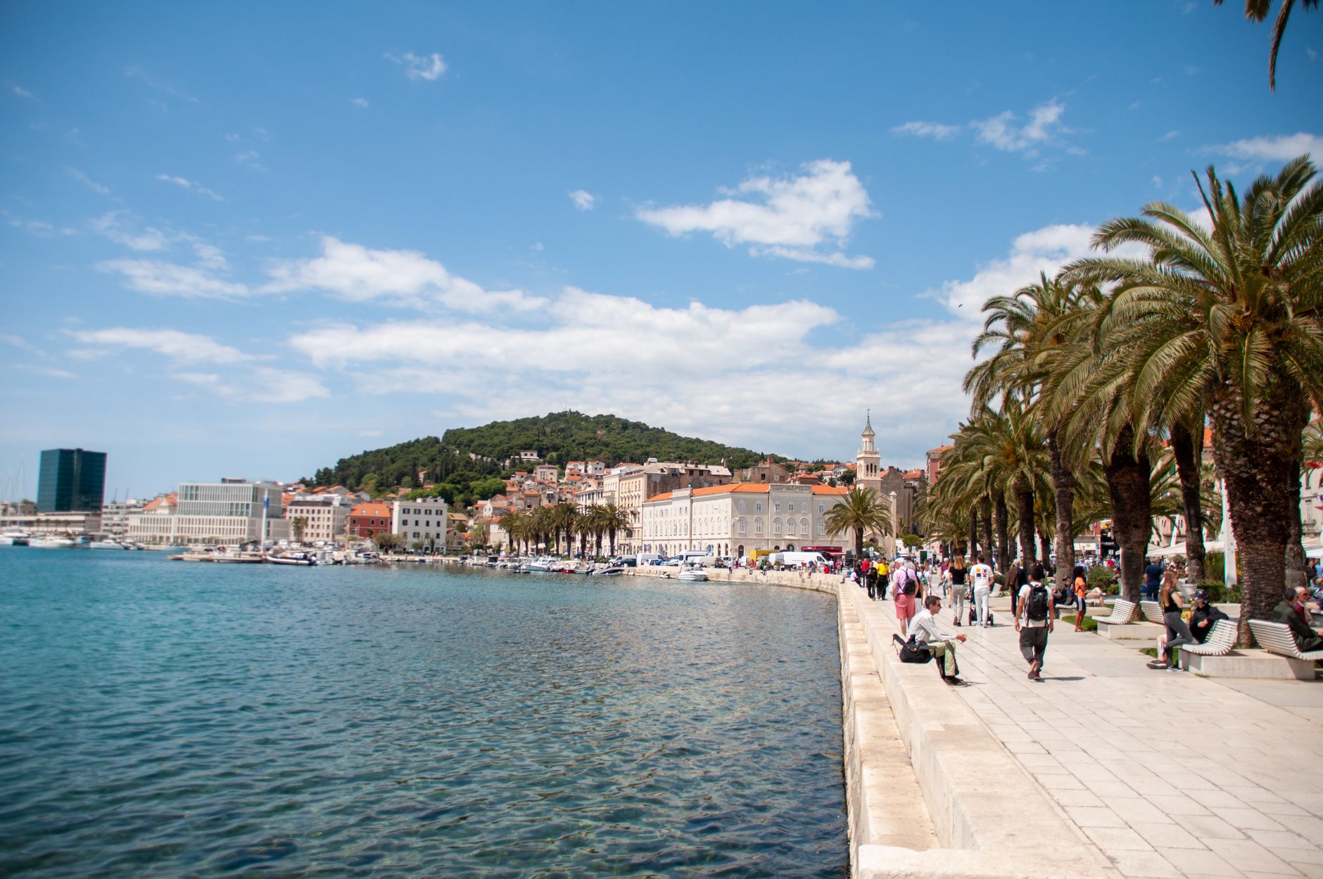
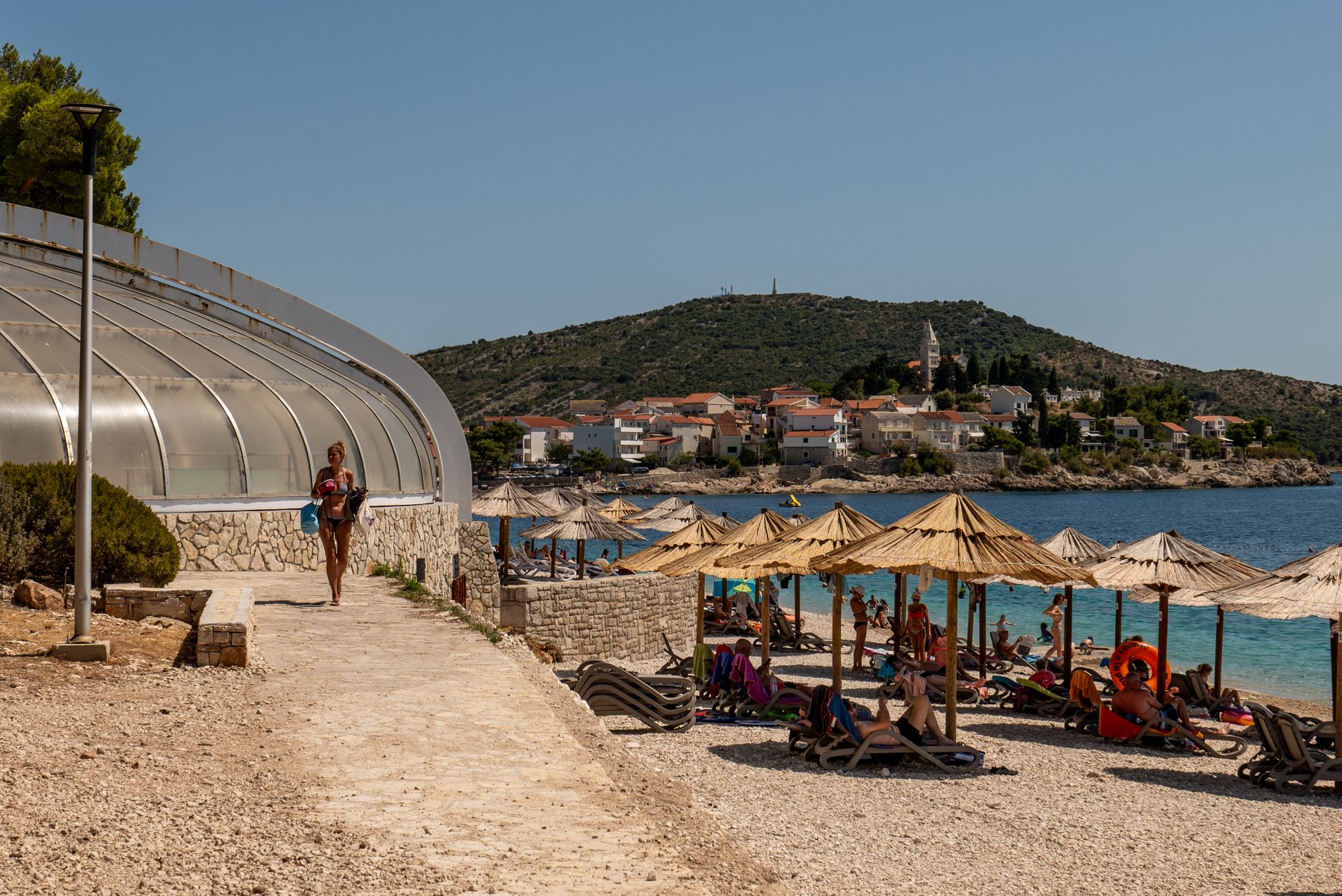
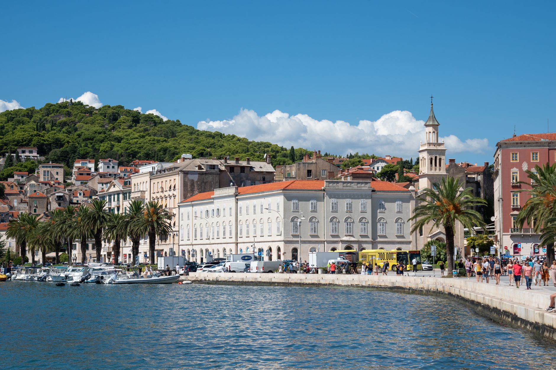
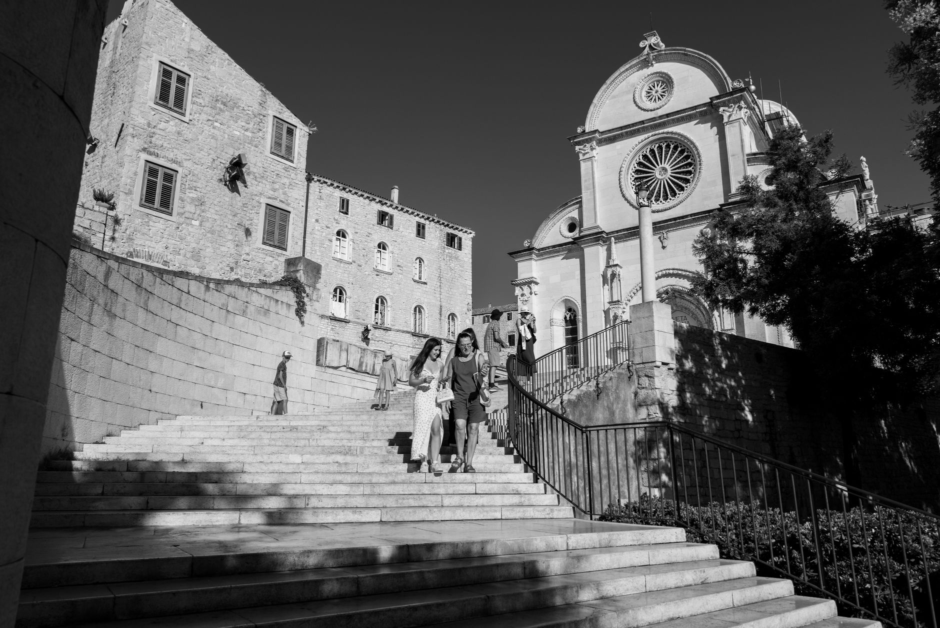
The Dalmatian Coast runs roughly 600 kilometres down Croatia's Adriatic edge, but what defines it isn't the length — it's the limestone. The same white stone that paves Diocletian's Palace in Split and forms the pebble horn of Zlatni Rat beach on Brač was quarried here and shipped to Washington D.C. to build the White House. The coast has always exported something of itself.
What you're moving through is a layered place: Greek colonies, Roman provinces, Venetian campaniles, and a string of inhabited islands served by Jadrolinija ferries. The towns sit close enough together that a week lets you cover real ground, yet each one — Zadar, Trogir, Korčula, Šibenik — holds its own distinct character.
How Dalmatian Coast came to be
The name comes from the Dalmatae, an Illyrian tribe, and the coast's recorded story begins with Greek colonists in the 4th century BCE, who founded settlements at Issa (present-day Vis), Pharos (Hvar), and Salona near modern Solin. Rome absorbed the region after the Illyrian wars — Delminium fell in 155 BCE — and reorganized it into the province of Dalmatia. Diocletian, Rome's own emperor, chose this coast for his retirement palace in the late 3rd century.
Salona was destroyed by Slavs and Avars around 619 CE, and its survivors fled to the coast and islands. The next millennium brought Gothic, Byzantine, and eventually Venetian rule — established permanently in 1420 after roughly thirty changes of sovereignty. The 20th century was equally turbulent: the 1920 Treaty of Rapallo handed most of Dalmatia to Yugoslavia; Italy annexed it during WWII; by 1947 it was fully part of the Croatian republic, which declared independence in 1992.
Who and what shaped it
People who shaped it
Landmark buildings
See Dalmatian Coast in motion
Plan your visit
On the map
When to go
Summers are hot and dry, with July and August pushing into the mid-thirties Celsius and the sea warm enough to swim through October. Spring and autumn are mild and far quieter; winters are cool and occasionally wet, with reduced ferry connections to the islands.
Right now
Background & history adapted from Wikipedia (CC BY-SA) · specs from Wikidata (CC0) · weather from Open-Meteo · map data © OpenStreetMap contributors · photos from Wikimedia Commons / Unsplash with per-image credit. No third-party reviews or social posts reproduced.