
Da Nang
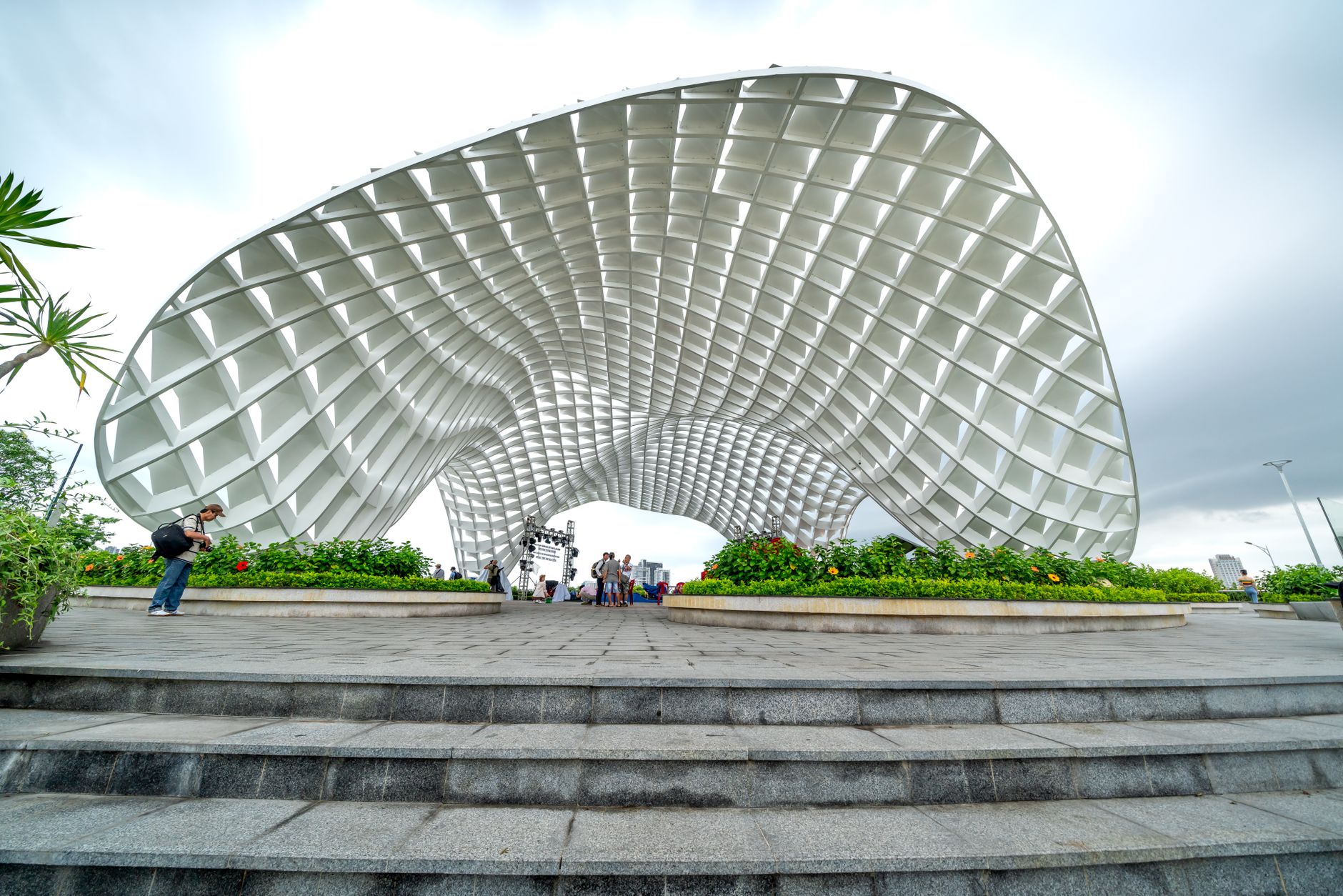
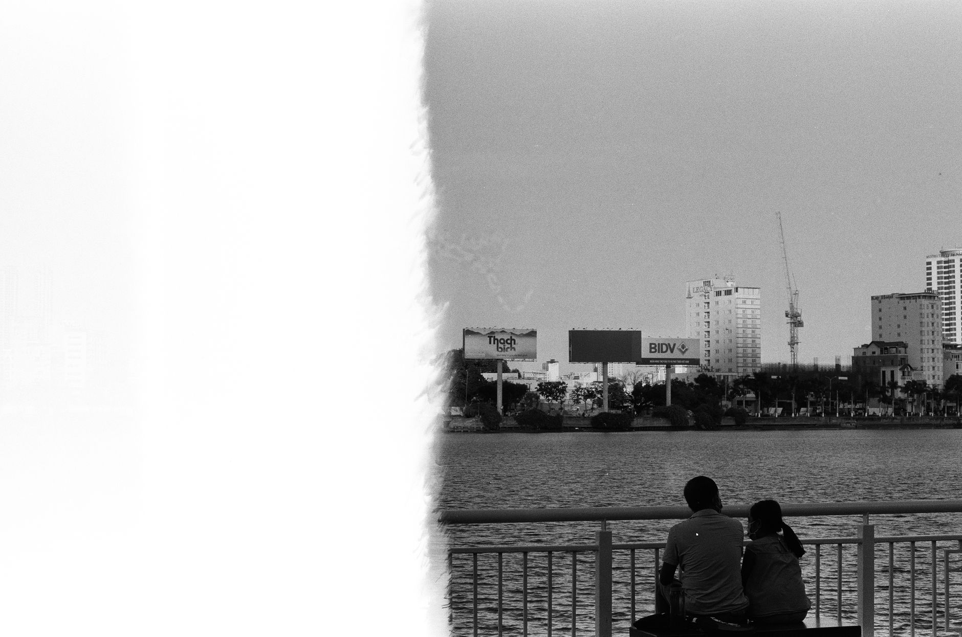
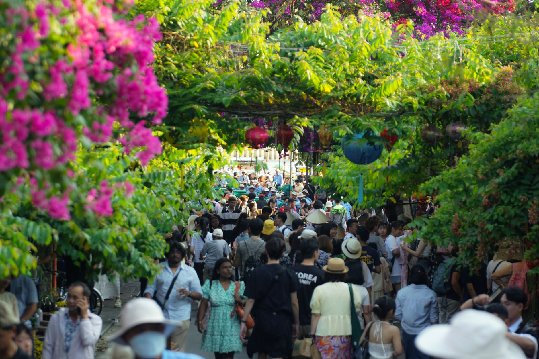
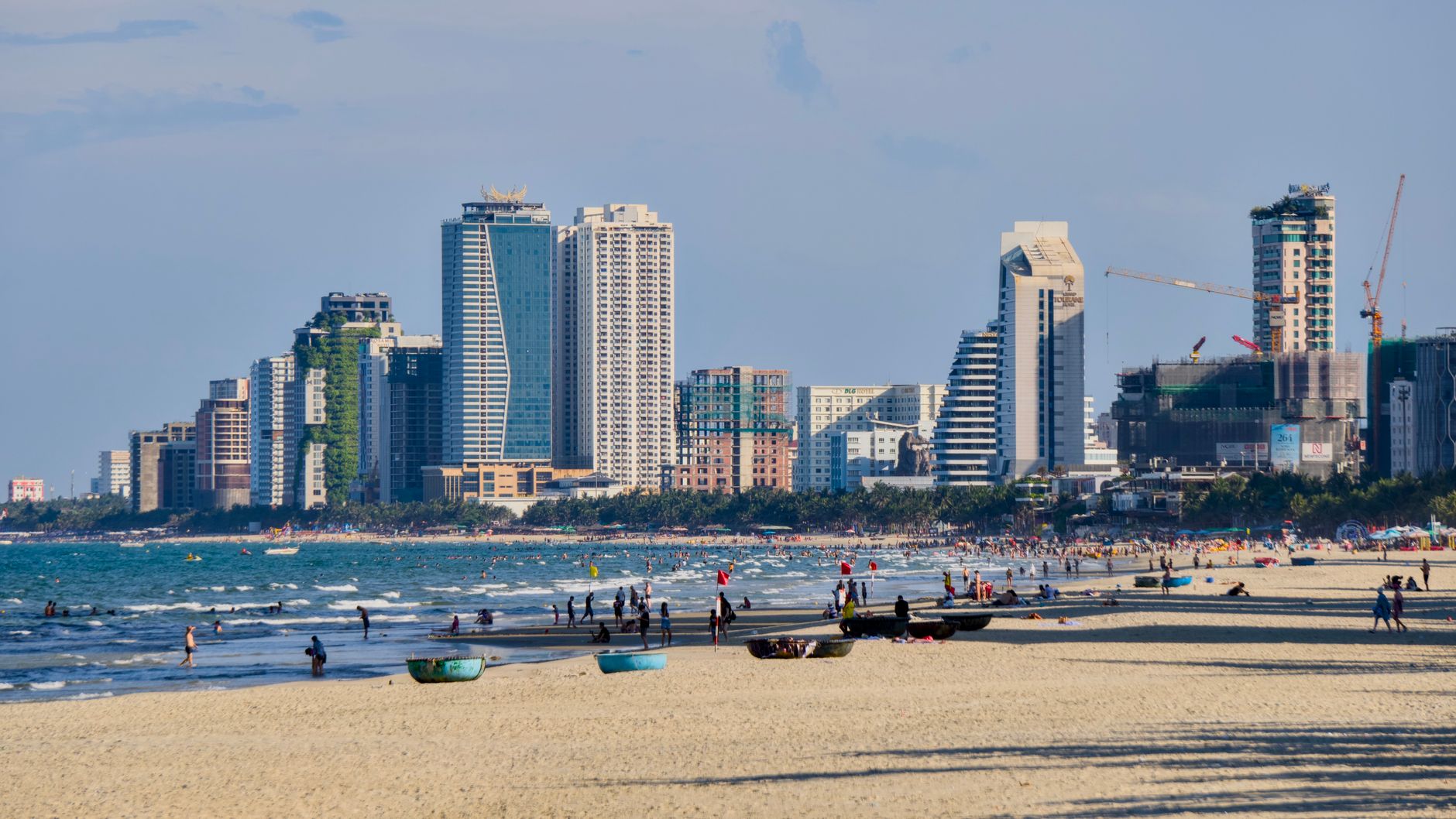
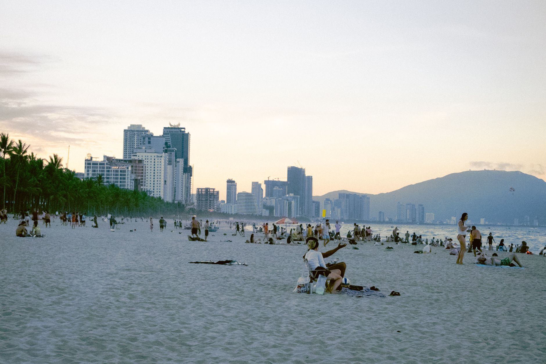
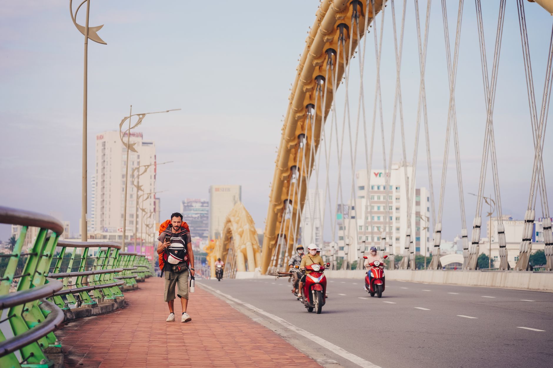
Da Nang sits at the middle of Vietnam's long spine, where the Han River meets the South China Sea and the Marble Mountains rise from flat coastal land without warning. It is a city that has been a Cham trading port, a French colonial concession called Tourane, and the site of the first American troop landing in 1965 — layers that sit quietly beneath a skyline now defined by a steel bridge shaped like a breathing dragon.
From here, the country opens in every direction: mountain passes to the north, ancient Hoi An a short drive south, and a coastline long enough that you can find a quiet stretch even in peak season. Da Nang rewards time spent at ground level.
How Da Nang came to be
The site has been inhabited since around A.D. 192, when it fell within the reach of the Champa Empire, the Indian-influenced civilisation whose sculptural legacy now fills the Museum of Cham Sculpture, built in 1915 and still the finest collection of Cham art in the world. Portuguese explorer António de Faria anchored here in 1535, and the city — then known as Cửa Hàn, or Hàn River Estuary — grew into one of central Vietnam's most significant commercial ports. Emperor Minh Mang formalised this in 1835, designating it the sole anchorage for Western ships in the region.
The French arrived by force in 1858, renaming the city Tourane after their 1889 occupation, though Vietnamese forces under General Nguyễn Tri Phương held them under siege long enough to force a temporary retreat in 1860. Da Nang Port, founded in 1901, remains the largest seaport in central Vietnam. In March 1965, American marines came ashore here — the first US combat troops deployed to Vietnam. The city was reunified under northern control on 29 March 1975, and became one of Vietnam's centrally administered municipalities on 1 January 1997.
Who and what shaped it
People who shaped it
Landmark buildings
See Da Nang in motion
Plan your visit
On the map
When to go
February through August brings dry, sunny weather and calm seas — the window most visitors aim for. From September into January, the region sits in the path of the northeast monsoon, with heavy rain and occasional typhoons, particularly in October and November.
Right now
Background & history adapted from Wikipedia (CC BY-SA) · specs from Wikidata (CC0) · weather from Open-Meteo · map data © OpenStreetMap contributors · photos from Wikimedia Commons / Unsplash with per-image credit. No third-party reviews or social posts reproduced.