
Da Lat
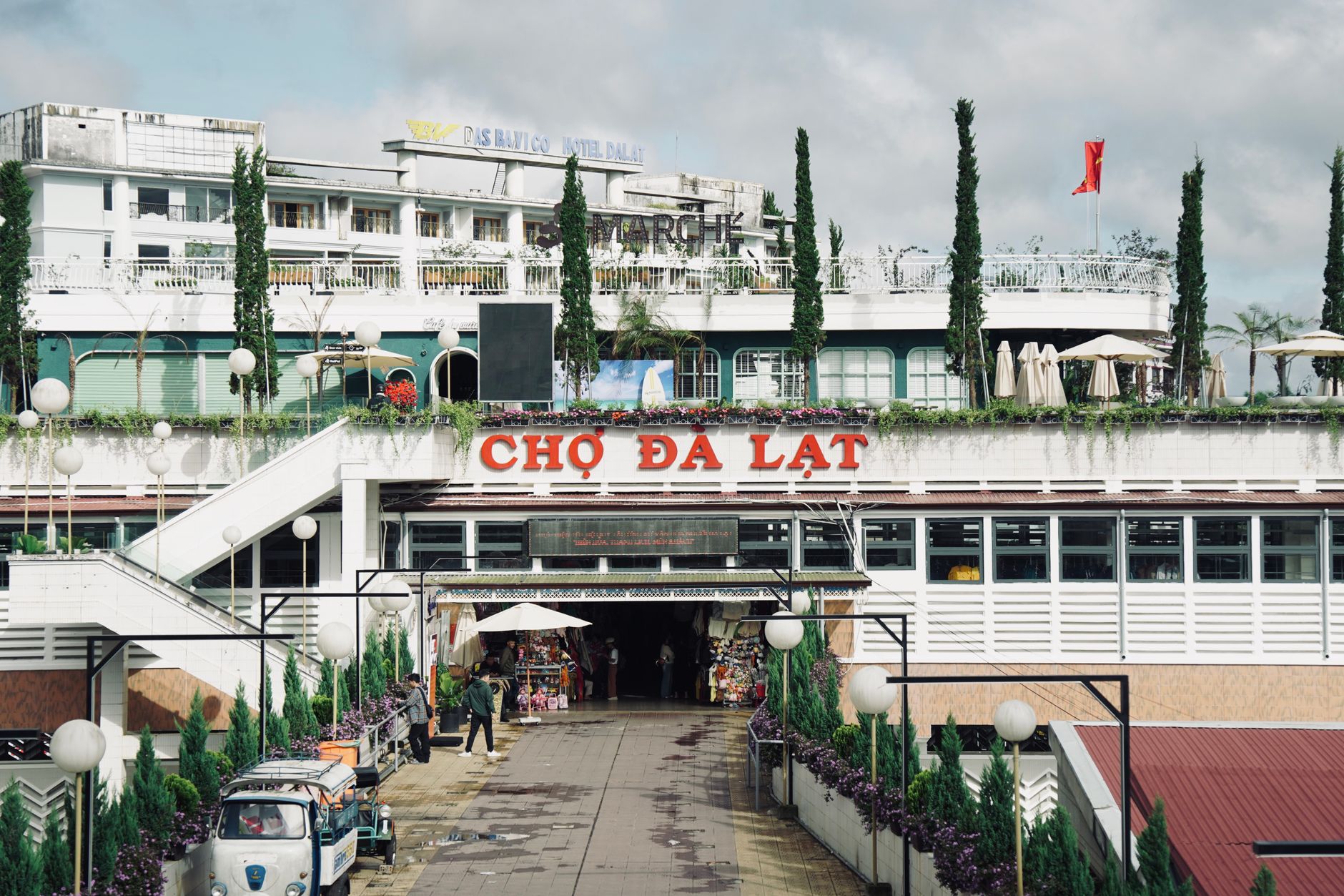
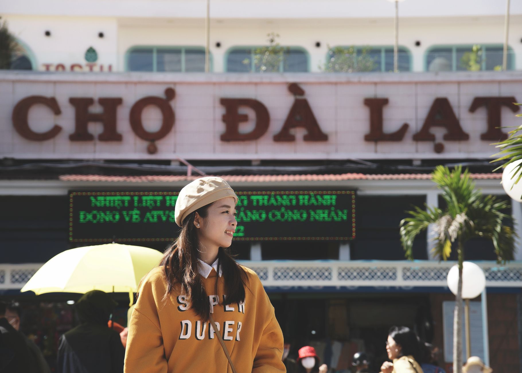
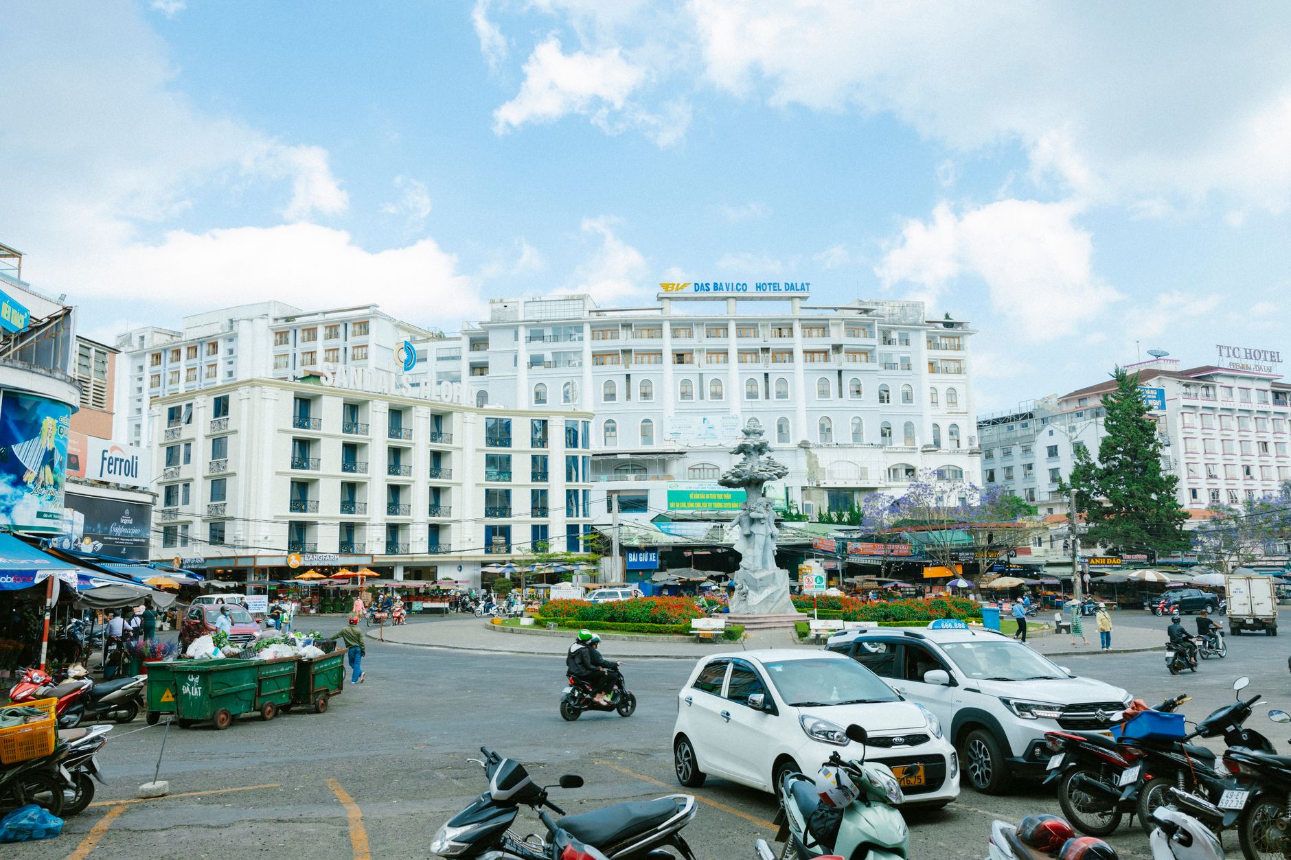
At 1,500 metres above the Mekong lowlands, Da Lat runs cool when the rest of Vietnam is sweating. The air carries pine resin and woodsmoke, the streets slope steeply past French colonial villas going soft at the edges, and the market stalls sell strawberries and artichokes — crops that have no business being in Southeast Asia and yet thrive here completely.
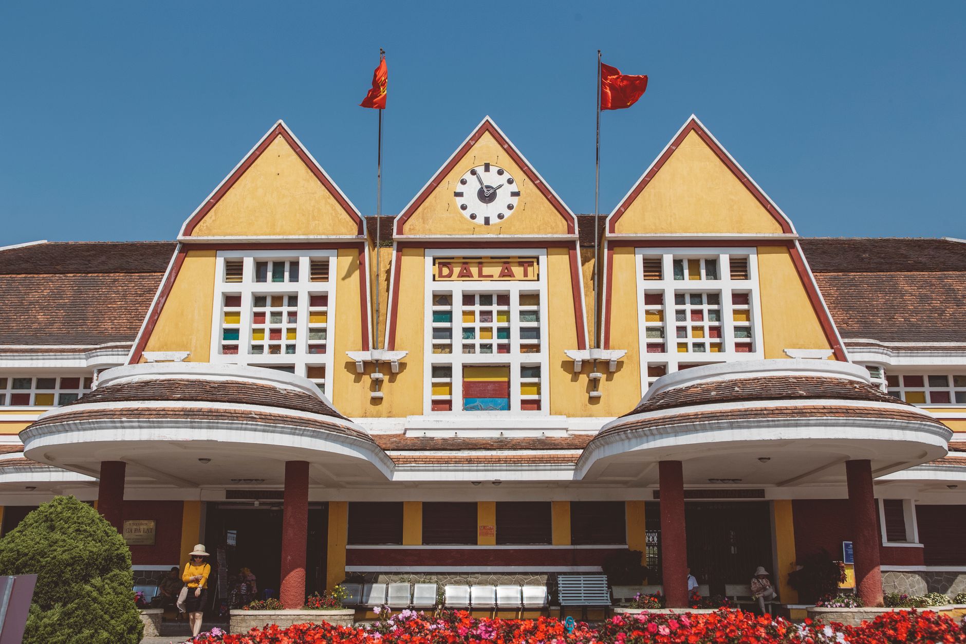
This is where French colonial planners built their escape from Saigon's heat: a hill station of wide boulevards, a golf course, a palace hotel, and hundreds of villas whose shutters now open onto gardens of hydrangeas. The colonial layer sits alongside Vietnamese daily life without much ceremony — a pagoda tiled in broken porcelain beside a 1930s Art Deco train station, flower farms at the edge of a Zen monastery.
💛 What travellers fall for
People who come back tend to rent a motorbike and leave the centre by seven in the morning, before the tour groups arrive at the palaces. The road out toward Trai Mat is quiet at that hour. The train to Trai Mat is worth it not for the distance but for the station itself — sit with it for a while before you buy a ticket.
How Da Lat came to be
On 21 June 1892, the French bacteriologist Alexandre Yersin reached the Lang Biang Plateau and noted its temperate air — something closer to a European autumn than a tropical colony. Seven years later, Governor-General Paul Doumer signed a decree establishing an administrative station on the plateau, and by 1916 Da Lat existed as a town in its own right. The Dalat Palace Hotel opened in 1922; the Art Deco railway station followed in 1938; the Lycée Yersin, designed by Moncet and Reveron and later recognised by the International Union of Architects as one of the twentieth century's singular works, had opened in 1927.
By April 1944, the city held some 5,600 Western residents — the high-water mark of the colonial hill-station experiment. Emperor Bao Dai maintained palaces here; the Domaine de Marie church, blending seventeenth-century European forms with Vietnamese folk architecture, was consecrated in the same year. The pine forests and the villas outlasted the colonial administration, and much of that built fabric remains, ageing gracefully or otherwise, across the hillsides today.
Who and what shaped it
People who shaped it
Landmark buildings
See Da Lat in motion
Plan your visit
On the map
When to go
Da Lat has two seasons: a dry period from November through March, when days are clear and nights drop sharply — bring a layer. The rainy season runs roughly April through October, with heavy afternoon downpours that clear quickly; mornings are usually fine for being outdoors.
Right now
Background & history adapted from Wikipedia (CC BY-SA) · specs from Wikidata (CC0) · weather from Open-Meteo · map data © OpenStreetMap contributors · photos from Wikimedia Commons / Unsplash with per-image credit. No third-party reviews or social posts reproduced.