
Cua Can

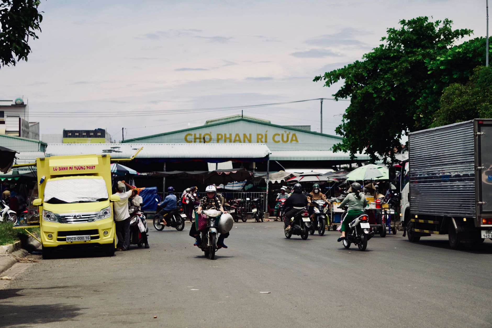
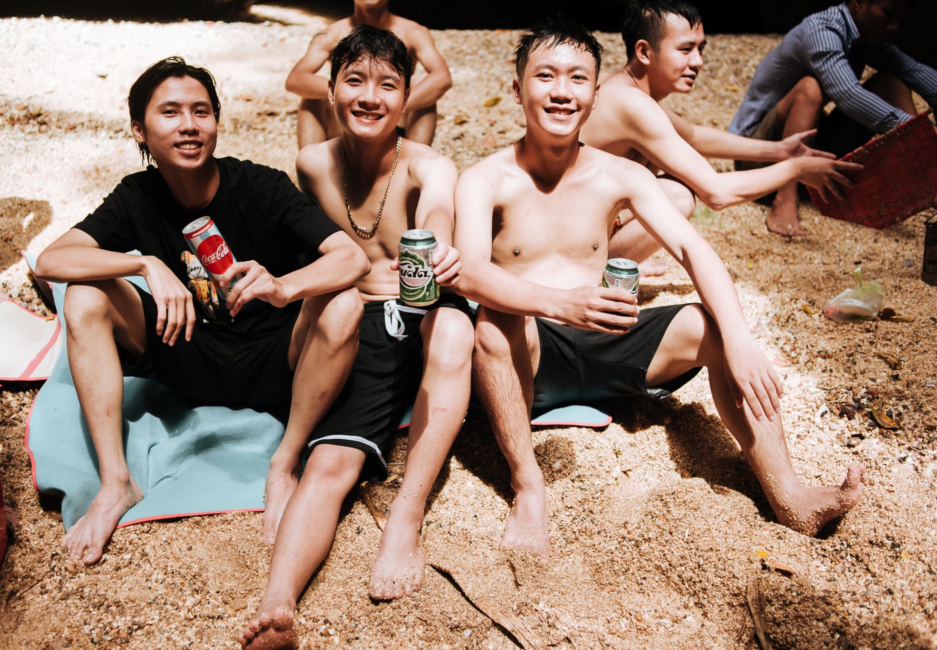
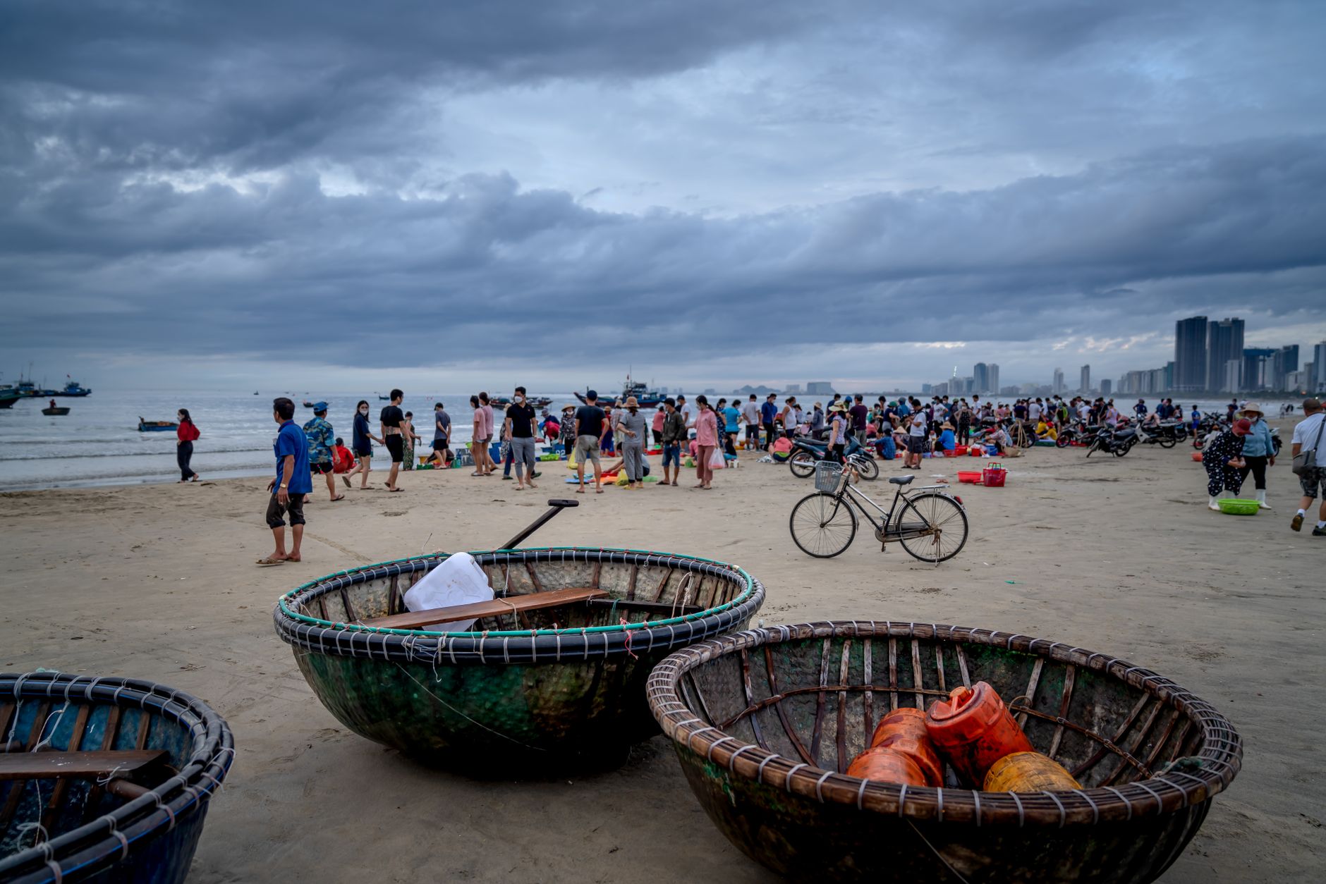
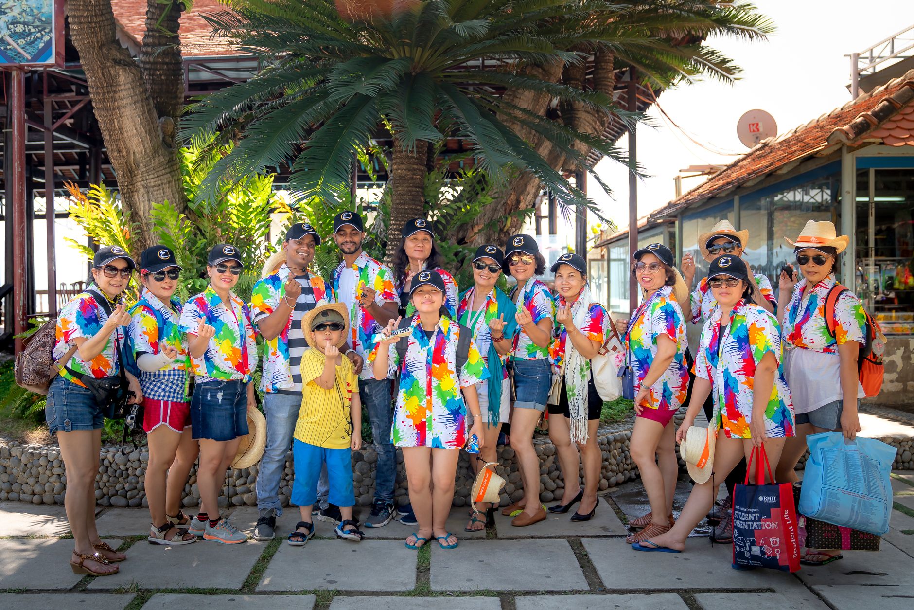
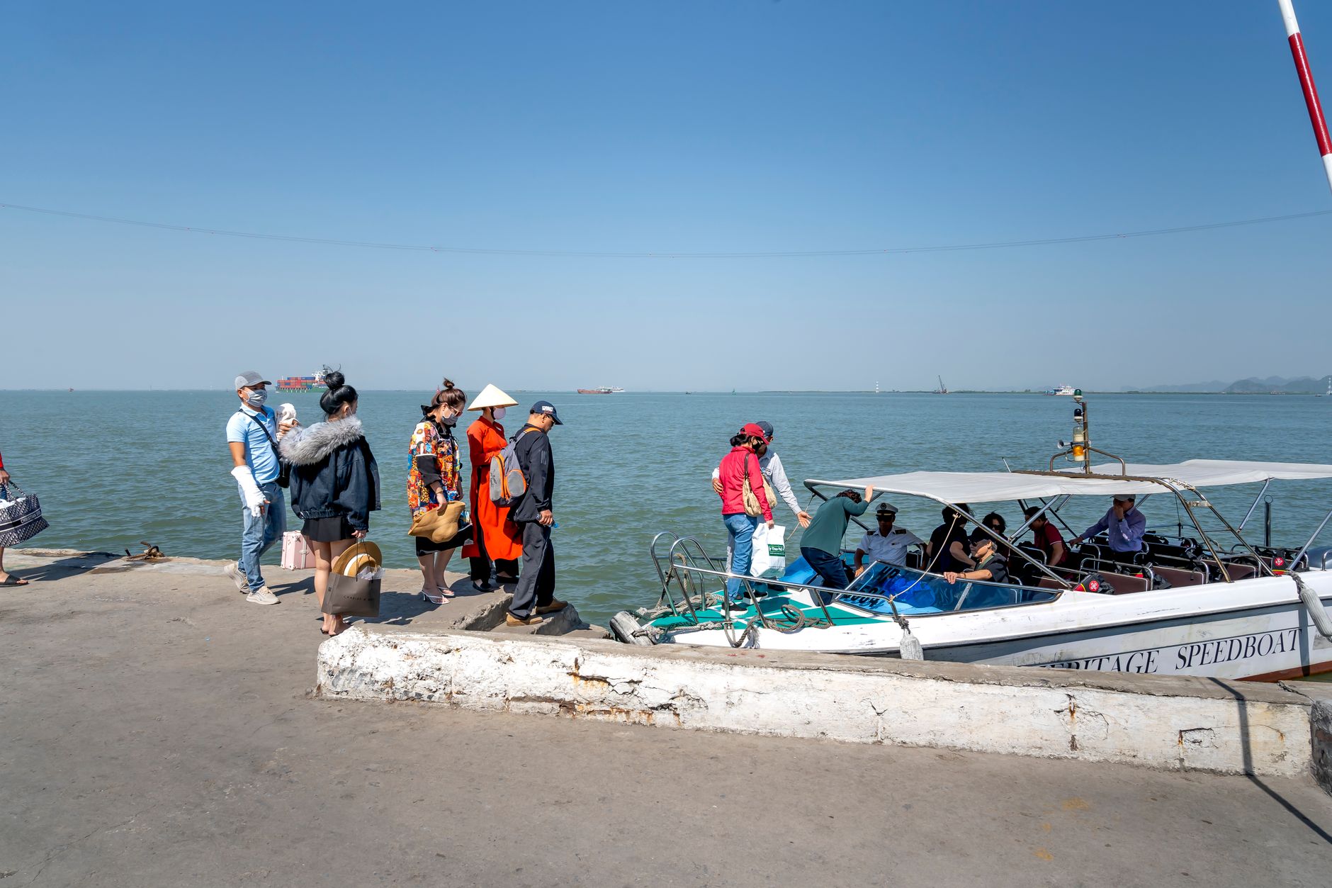
The first thing you notice at Cua Can is the quiet. Not the silence of somewhere forgotten, but the particular calm of a place that simply hasn't been overrun yet — a commune on the northern stretch of Phu Quoc Island where the river runs wide and shallow, wooden bridges lean out over the water, and local houses sit behind coconut palms in the Southwest riverine style that defines this part of Vietnam's coast.
The Cua Can River and its tributaries form the real geography here: a large but unhurried waterway dotted with organic farms, small guesthouses, and cafes where the menu changes with what the fishermen brought in. A sandbar breaks the chop where the river meets the sea, and behind it, mounds of land back up into deep forest.
💛 What travellers fall for
People who come back tend to arrive early and rent a kayak straight from one of the seafood restaurants along the water — the estuary light is best before noon. Le Bat, the small downtown area west of Cua Can Bridge, is worth a slow loop: post office, market stalls, a guesthouse or two. Hire a local fisherman for a river run if you want to get further in.
Deals in Cua Can
Book directly at the provider


How Cua Can came to be
Cua Can's story is largely the story of the river it sits on — a waterway that shaped where people built, how they fished, and what kind of community grew up along its banks. The Southwest riverine architectural style visible in the older houses along the shore points to a settlement pattern common across the Mekong delta region, where life organizes itself around water rather than roads.
No founding date or documented origin has been recorded in available sources, which is itself telling: Cua Can grew the way many Vietnamese coastal communes did, incrementally and practically, rather than by any single act of planning or proclamation.
Who and what shaped it
Landmark buildings
See Cua Can in motion
Plan your visit
On the map
When to go
Phu Quoc's dry season runs roughly from November through April, when the Cua Can River is calmer and the sandbar more accessible. The wet season brings heavier rain and choppier coastal water from May onward, though the river and its birdlife remain active year-round.
Right now
Background & history adapted from Wikipedia (CC BY-SA) · specs from Wikidata (CC0) · weather from Open-Meteo · map data © OpenStreetMap contributors · photos from Wikimedia Commons / Unsplash with per-image credit. No third-party reviews or social posts reproduced.