
Copper Canyon (Barrancas del Cobre)
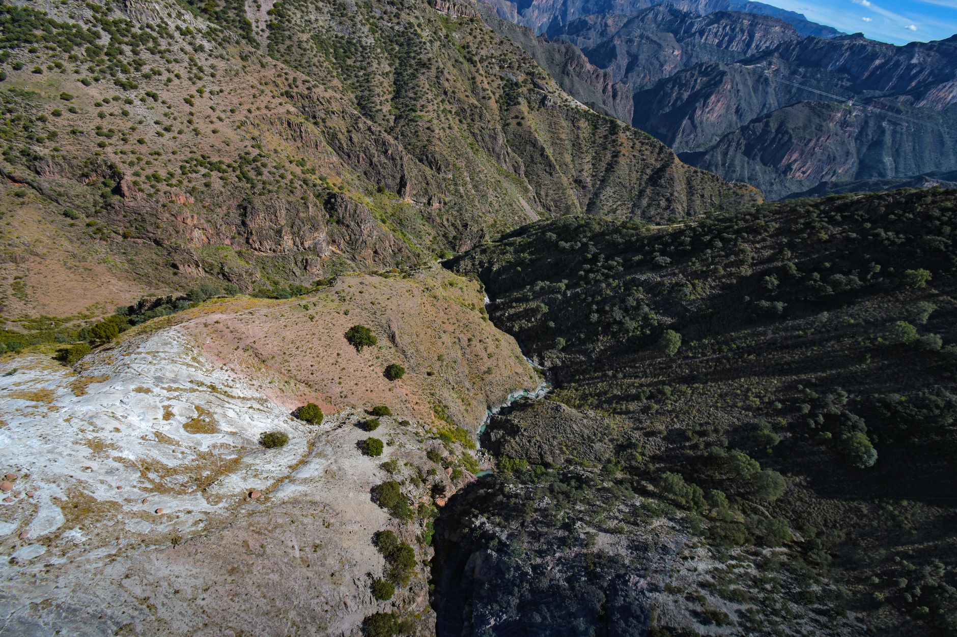
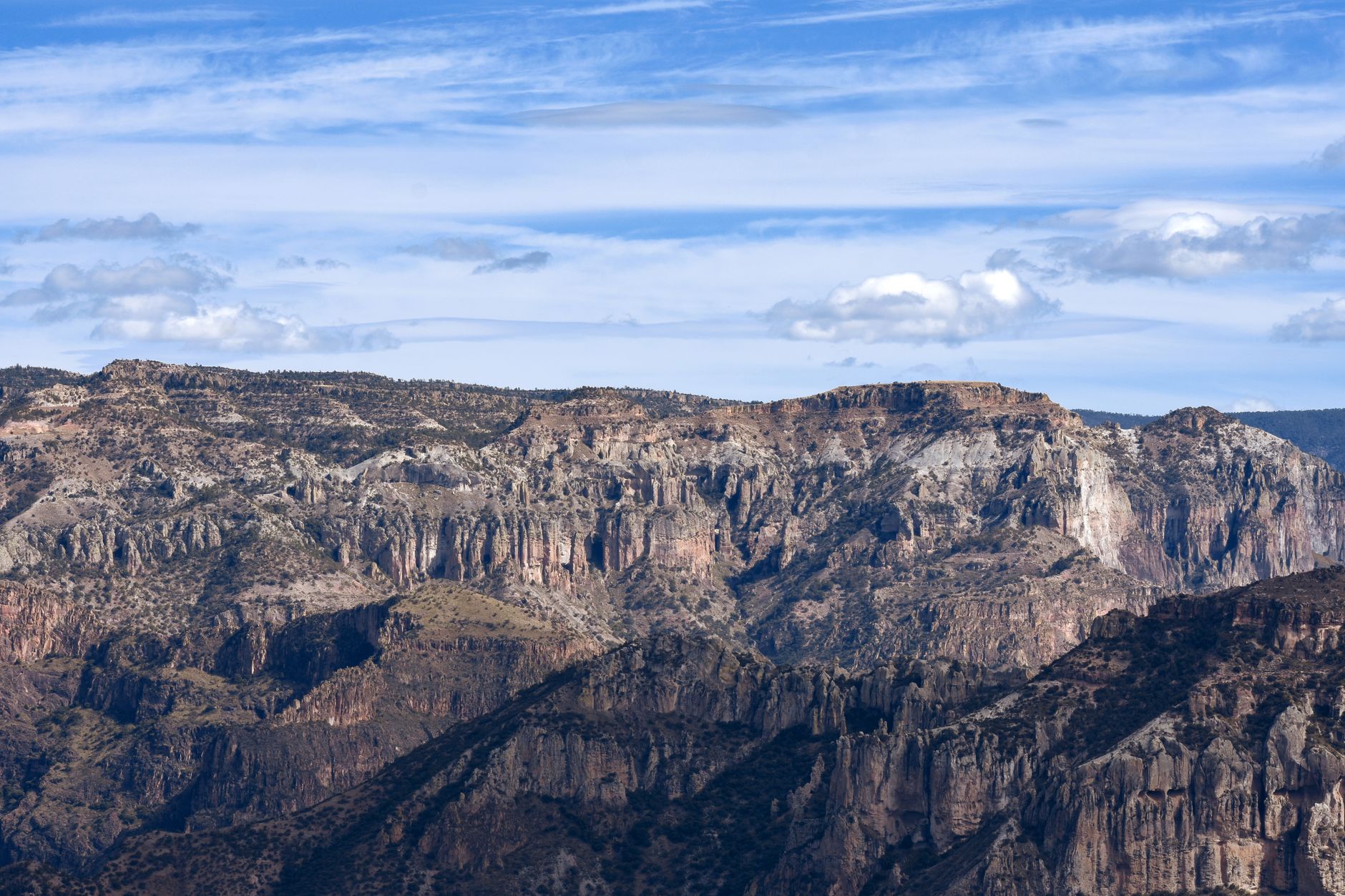
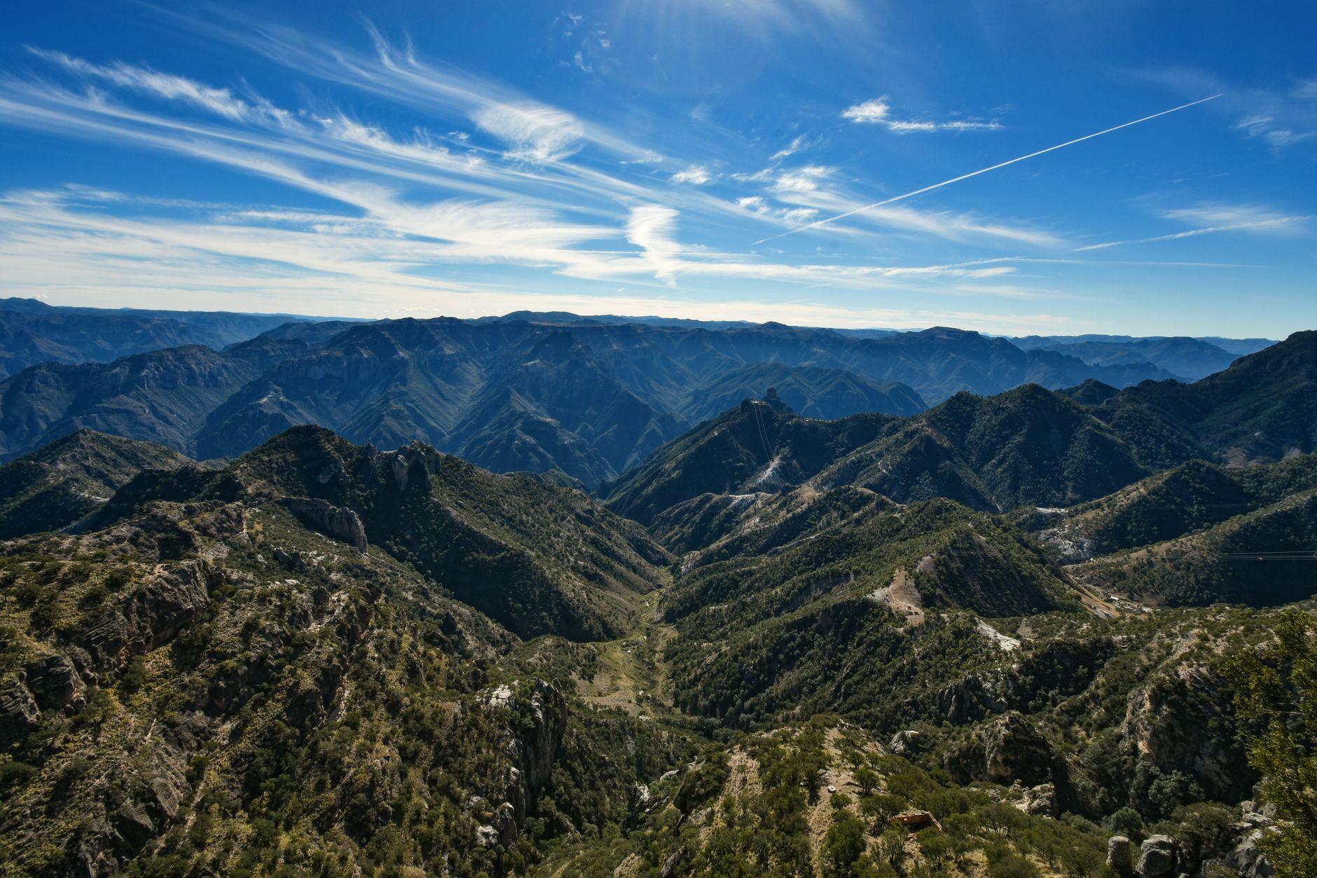
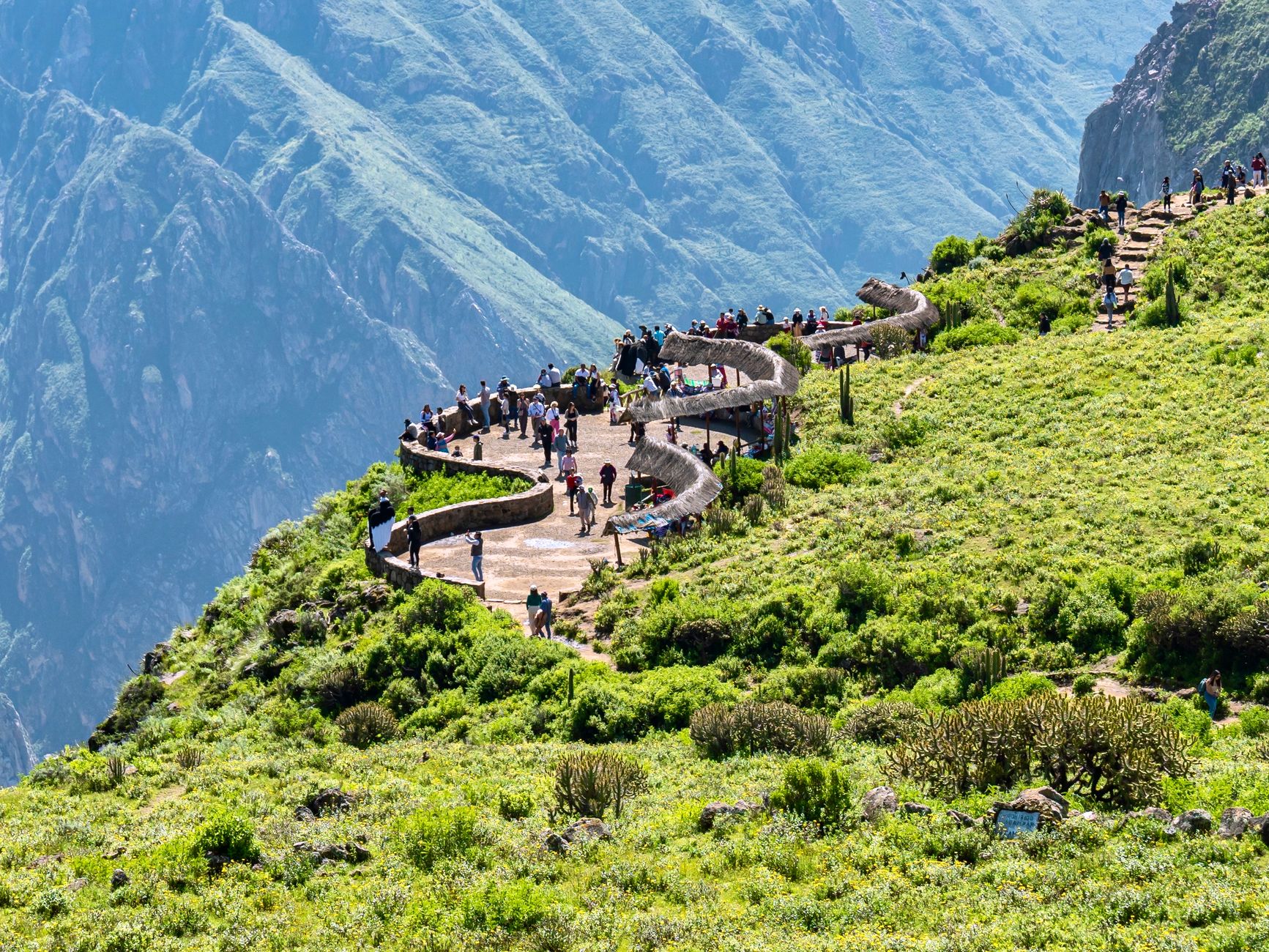

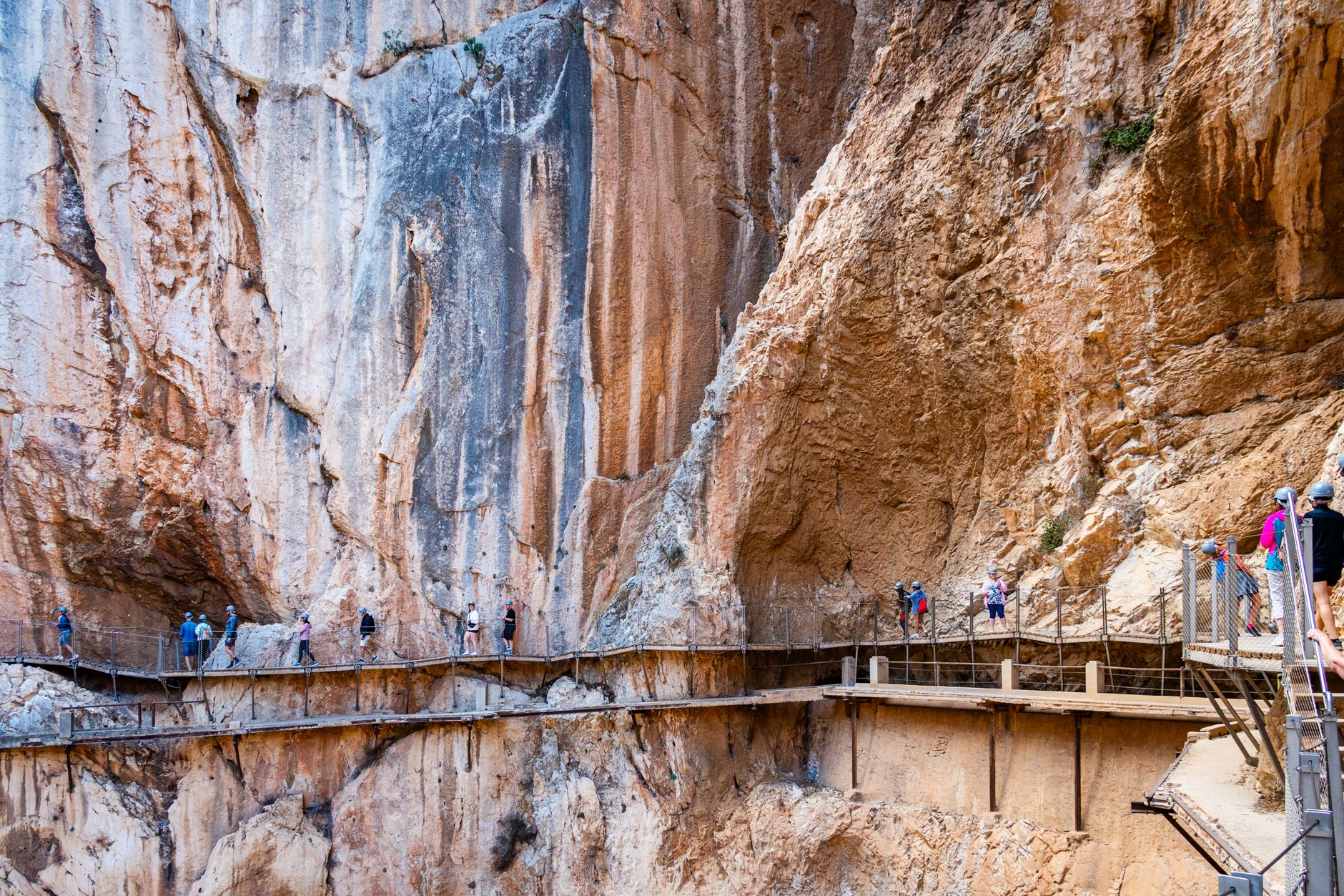
Copper Canyon is not one canyon but a system of six, carved over millions of years by rivers draining the western Sierra Tarahumara. Together they cover an area larger than the Grand Canyon and drop from pine-forested rimlands at 2,350 metres down to subtropical barrancas at 600 metres — a descent so dramatic that the vegetation changes from spruce to fig within a day's walk.
The Rarámuri people have lived in these canyons for centuries, and their presence is still the most arresting thing here: you may see a runner pass in sandals and a woven skirt on a trail where no road has ever gone. The canyon is theirs first, yours second, and that order matters.
💛 What travellers fall for
People who return tend to do the same thing: they take the ChePe one direction, stay several nights at different stops — Creel, Divisadero, Batopilas — and bus back. Skipping Batopilas, the old silver town at the canyon floor, is the regret most often mentioned. The altitude drop alone is worth the detour.
How Copper Canyon (Barrancas del Cobre) came to be
The canyons began forming 30 to 40 million years ago when volcanic activity built up the Sierra Madre Occidental plateau and six rivers set to work cutting through it. The Spanish arrived in the 17th century and founded Batopilas around 1632 specifically to mine silver; a second rush brought American investors in 1861, and Alexander Shepherd ran the Batopilas Mining Company at its peak before the Mexican Revolution of 1910 ended silver extraction for good.
The railroad that now defines the visitor experience took even longer to arrive. Construction on the Chihuahua al Pacífico line began in the late 19th century but was derailed by revolution, funding gaps, and terrain that required 86 tunnels and 37 bridges across 963 kilometres. The line finally opened on November 24, 1961 — one of the great feats of 20th-century civil engineering in the Americas.
Who and what shaped it
People who shaped it
Landmark buildings
See Copper Canyon (Barrancas del Cobre) in motion
Plan your visit
On the map
When to go
October to November and March to April offer the most reliable conditions: mild temperatures on the upper rim, clear canyon views, and trails that are dry without being parched. July brings the rainy season to the highlands — green and dramatic, but expect afternoon downpours and some trail closures.
Right now
Background & history adapted from Wikipedia (CC BY-SA) · specs from Wikidata (CC0) · weather from Open-Meteo · map data © OpenStreetMap contributors · photos from Wikimedia Commons / Unsplash with per-image credit. No third-party reviews or social posts reproduced.