
Constanza


At 1,250 metres above sea level, Constanza sits in a broad mountain valley where the Dominican Republic grows strawberries, apples, garlic and peaches — crops most visitors don't associate with the Caribbean at all. The air is cool enough for a jacket at night, the light is sharp, and on a clear morning the surrounding ridgelines hold a blue mist that burns off slowly.
The valley's population tells its own story: descendants of Spanish settlers from Burgos and Vizcaya, Hungarian and Japanese immigrant colonies, and Taíno heritage older than all of them. That layering shows up in the landscape, the food markets and the surnames on roadside signs.
💛 What travellers fall for
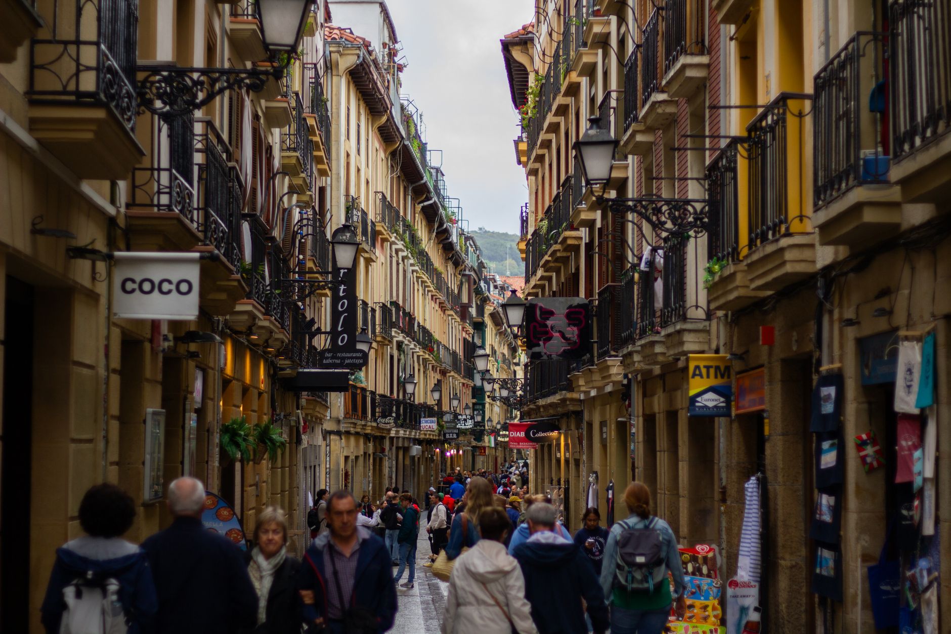
People who come back tend to time a late afternoon ride up to the Divino Niño statue — the light at that hour is worth the effort. They also learn early to carry cash; the ATMs in town run dry without warning, especially on holiday weekends when Dominican families arrive in numbers.
How Constanza came to be
In 1852, British explorer Robert Schomburgk recorded a single inhabited farm in the valley. By 1887 there were perhaps a hundred people living in thirty scattered huts. The town was officially founded in 1894 and incorporated as a municipality of La Vega Province on September 9, 1907, its name said to derive from a Taíno legend about a chief's daughter.
The 20th century brought sharper interruptions. On June 14, 1959, Cuban-backed Dominican exiles landed by plane at Constanza in an attempt to overthrow Trujillo; the operation was quickly crushed. A few years later, the 1965 civil war following the ousting of President Juan Bosch reached the valley. The Pirámide Ciclópea, a pyramid erected in 1957 in Valle Nuevo as a gesture of gratitude to Trujillo for road construction, still stands 44 kilometres from town — an odd monument in a high-altitude landscape.
Who and what shaped it
Landmark buildings
See Constanza in motion
Plan your visit
On the map
When to go
Constanza runs cool year-round, averaging around 18°C annually, with January the coldest month at roughly 16°C and nights that can drop below freezing in winter. May is the wettest month by far; January is the driest and, alongside the months that follow it through February, draws the most local visitors seeking relief from coastal heat.
Right now
Background & history adapted from Wikipedia (CC BY-SA) · specs from Wikidata (CC0) · weather from Open-Meteo · map data © OpenStreetMap contributors · photos from Wikimedia Commons / Unsplash with per-image credit. No third-party reviews or social posts reproduced.