
Colón
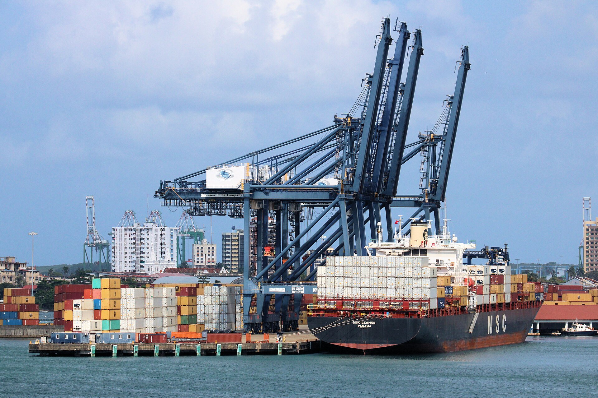
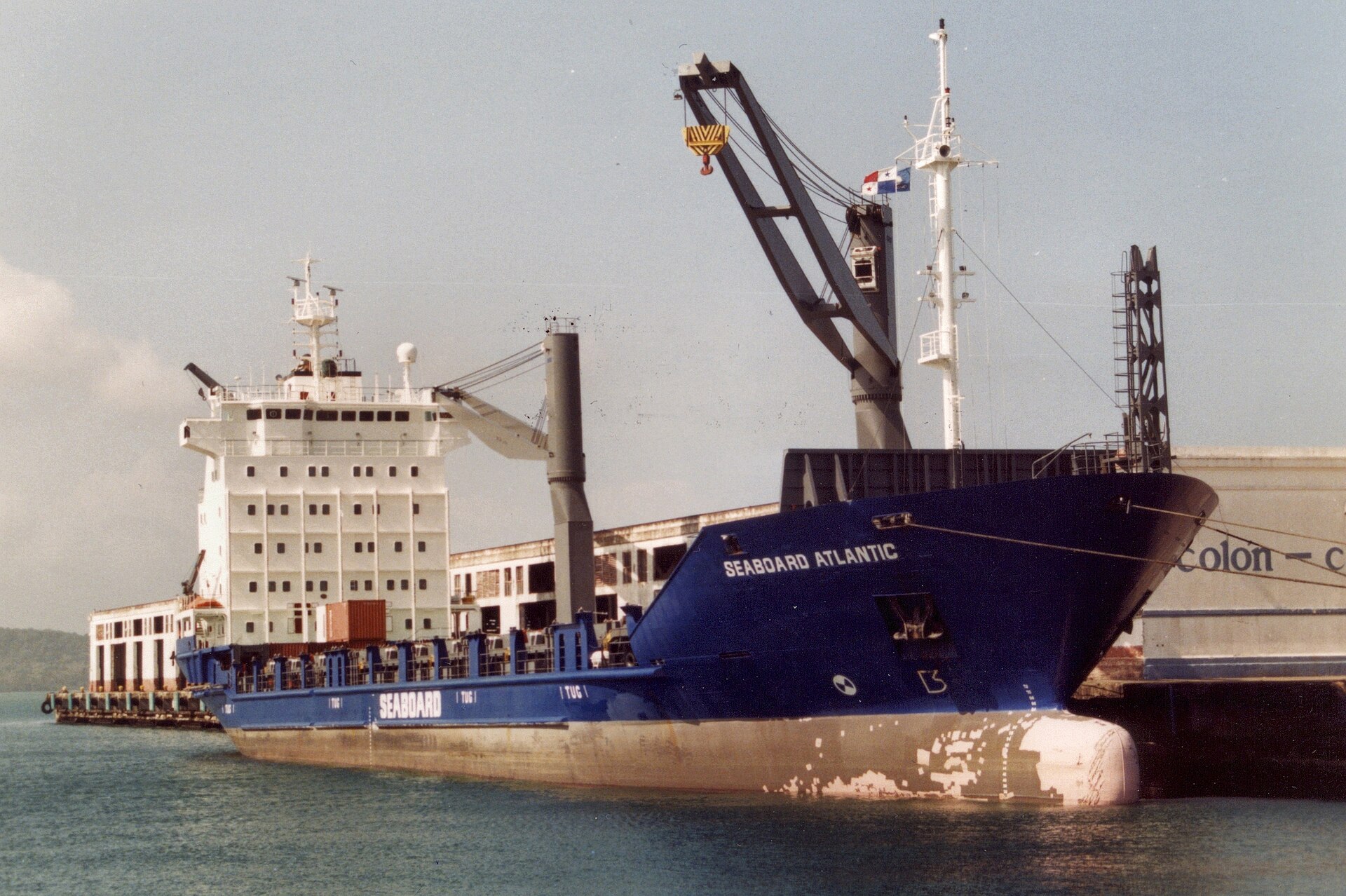
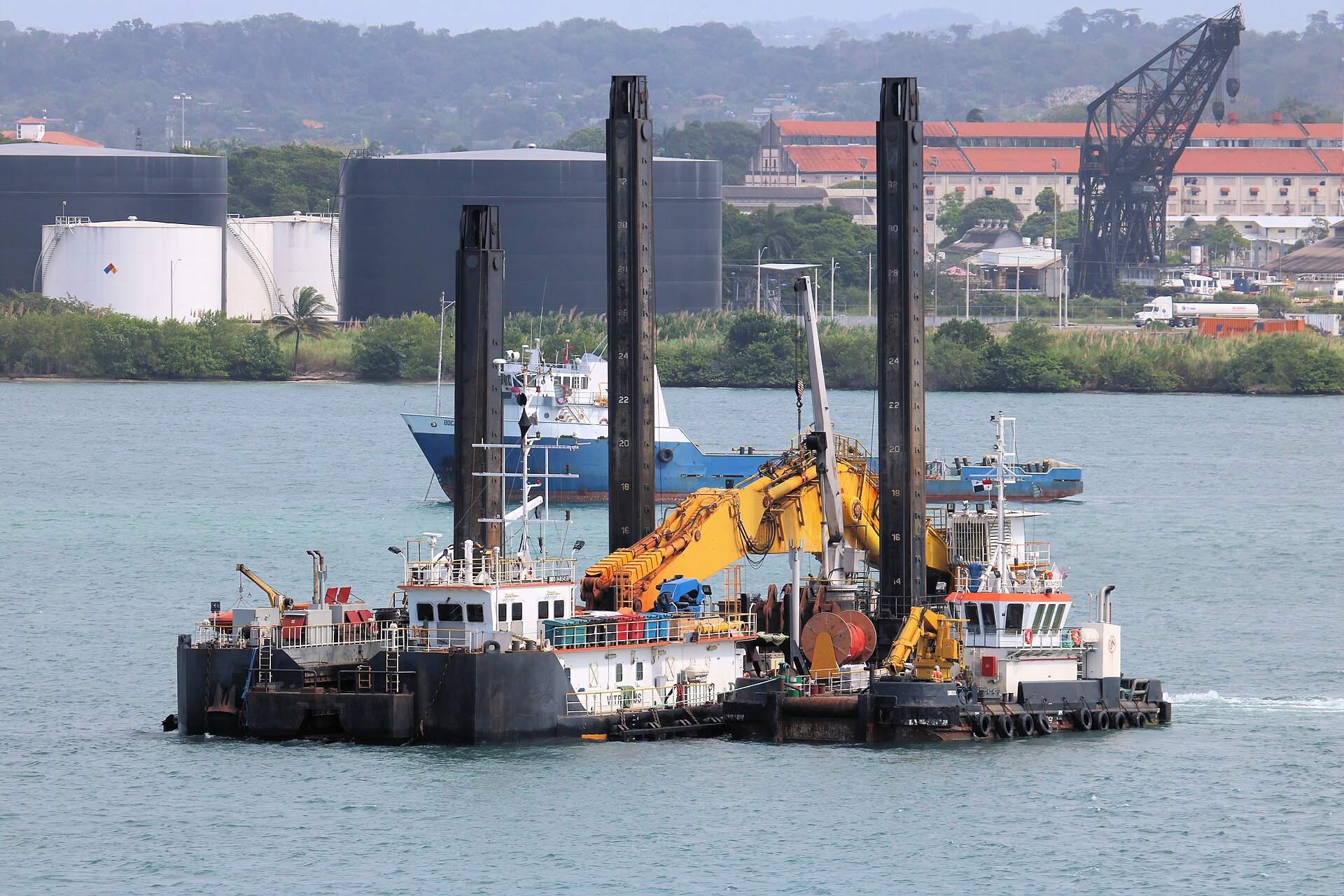
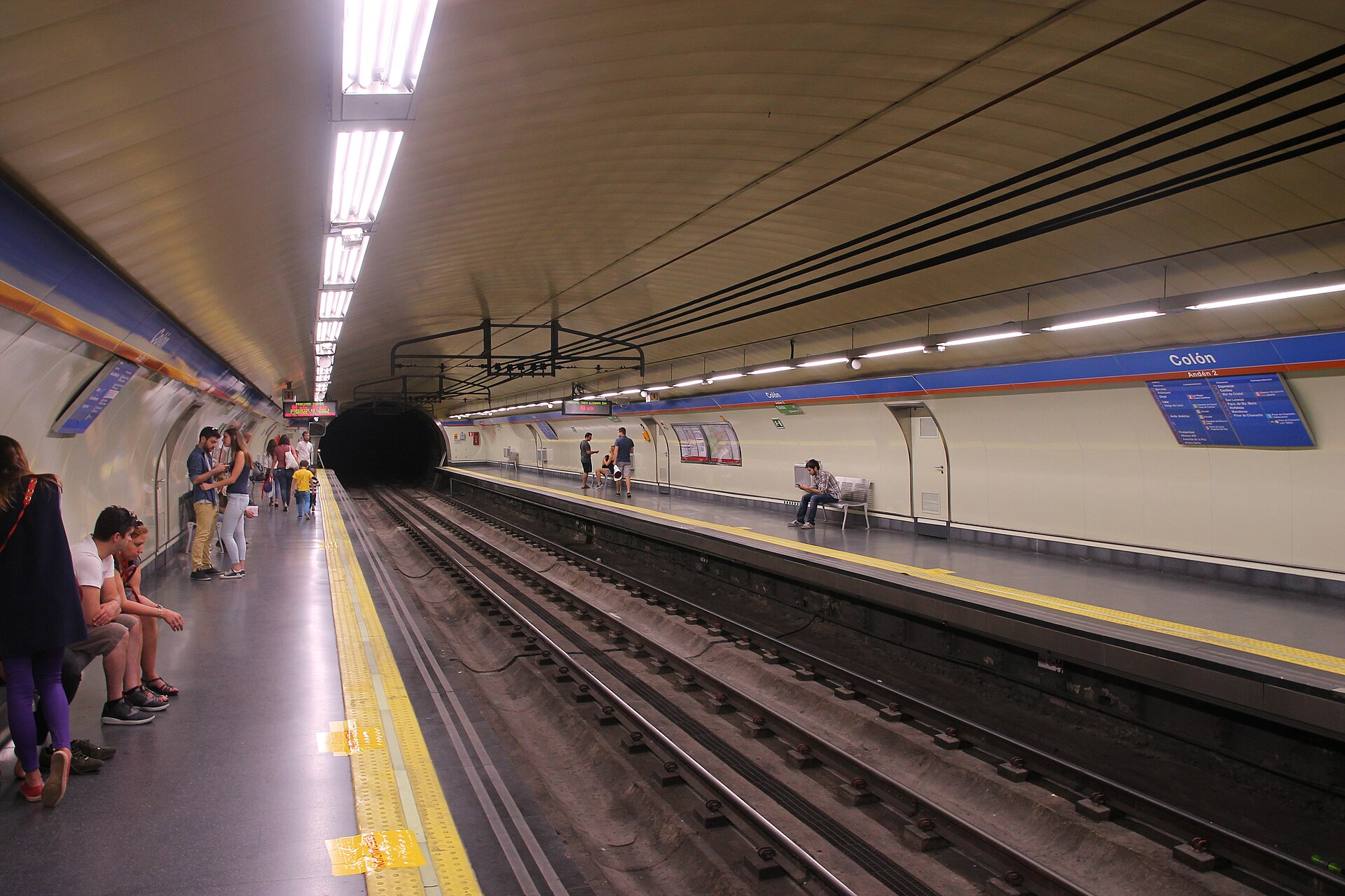
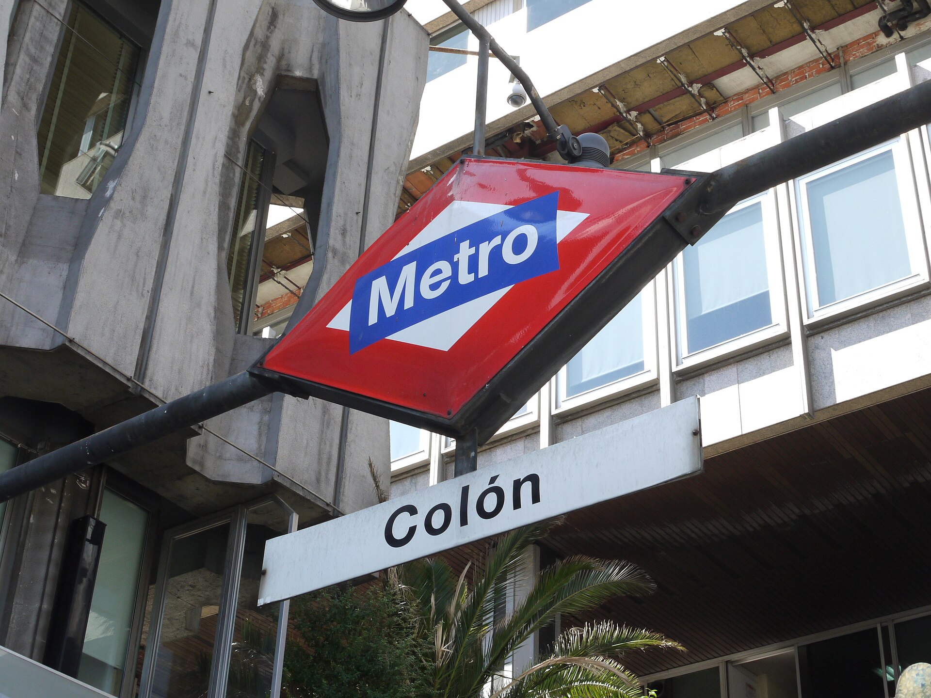
Colón sits at the Caribbean mouth of the Panama Canal, where container ships queue on the horizon and trade winds push off the water with enough force to rattle the palms along Paseo del Centenario. It is a city that has burned — literally, more than once — and rebuilt itself around commerce rather than tourism, which gives it an unvarnished quality rare on any traveler's circuit.
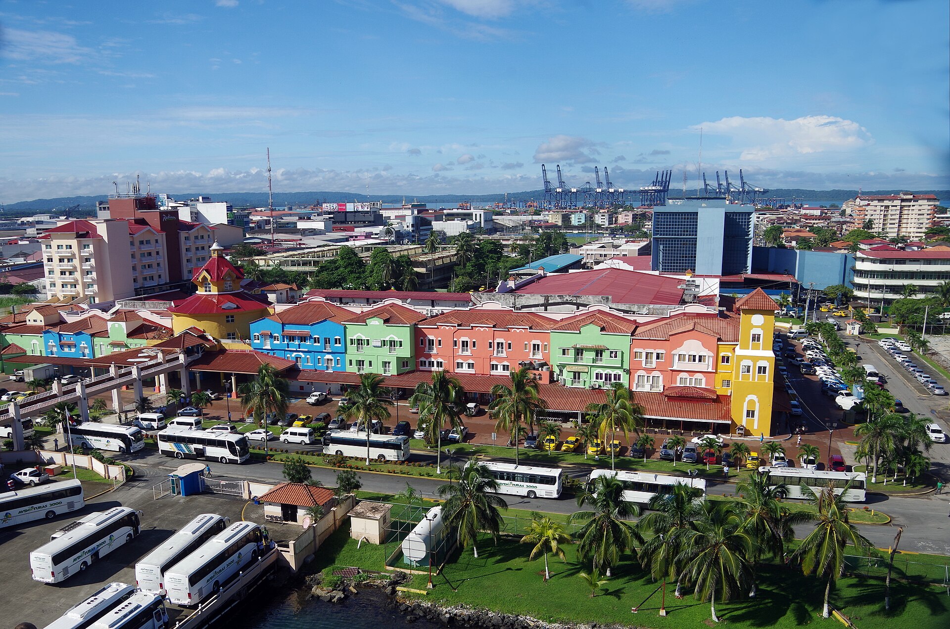
Most people arrive for the Gatun Locks or the Free Zone and leave the same afternoon. Spend a little longer and you find Gothic stonework at the Inmaculada Concepción Cathedral, the quiet interior of Christ Church by the Sea, and a waterfront avenue where daily life carries on against a backdrop of buildings in various states of repair and restoration.
How Colón came to be
Colón began in 1850 as the Atlantic terminal of the Panama Railroad, built to move Gold Rush prospectors across the isthmus faster than the overland route through North America. The railroad company named it Aspinwall, after promoter William Henry Aspinwall; the Spanish-speaking population called it Colón, for Christopher Columbus, and that name eventually won. The city was largely destroyed during the Colombian Civil War of 1885, then struck again by major fires in 1915 and 1940, the last of which consumed a third of its buildings.
After Panamanian independence, the Colón Free Zone was designated in 1948, growing into the second-largest duty-free trading complex in the world — a walled, heavily guarded grid of warehouses where billions move annually, mostly between companies rather than individual buyers. A large-scale restoration effort began in 2014 and continues to reshape parts of the historic center.
Who and what shaped it
People who shaped it
Landmark buildings
See Colón in motion
Plan your visit
On the map
When to go
Colón is one of the wettest cities in Central America — November can bring over 600 mm of rain in a single month. Come between December and April, when trade winds keep temperatures in the low-to-mid 80s°F and rainfall drops to something manageable.
Right now
Background & history adapted from Wikipedia (CC BY-SA) · specs from Wikidata (CC0) · weather from Open-Meteo · map data © OpenStreetMap contributors · photos from Wikimedia Commons / Unsplash with per-image credit. No third-party reviews or social posts reproduced.