
Cockscomb Basin Wildlife Sanctuary
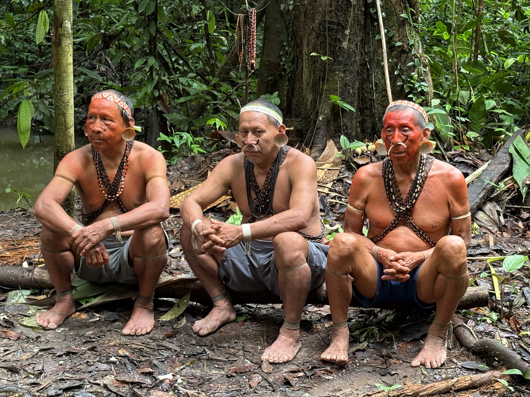
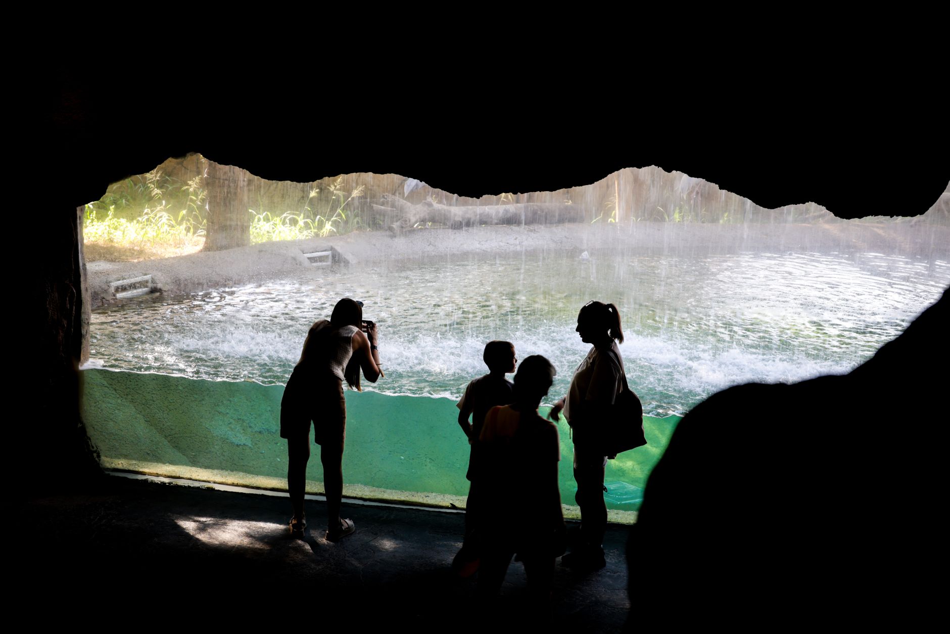
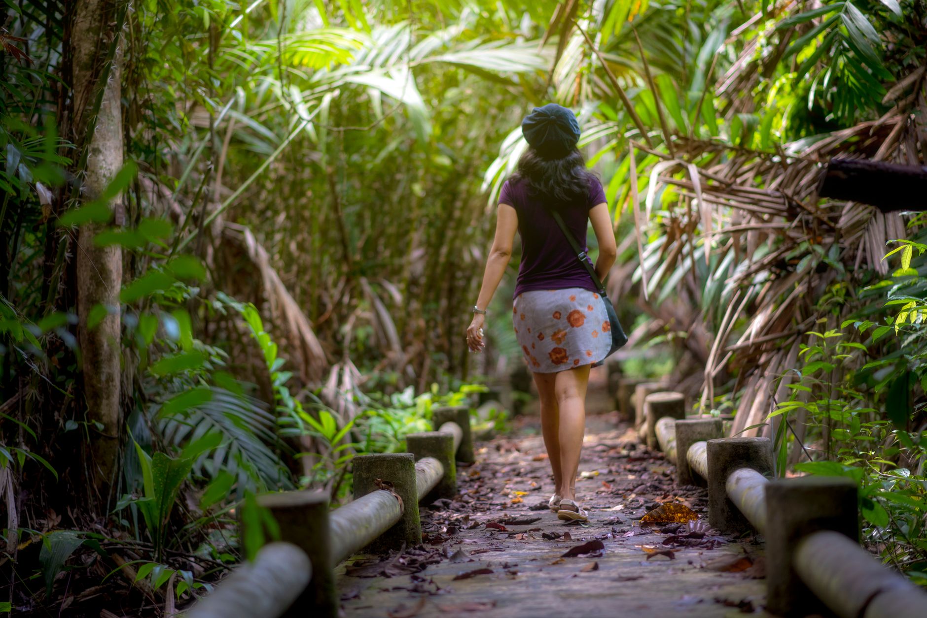
The jaguar made Cockscomb famous, and the jaguar is still the reason to come — even though you almost certainly won't see one. What you will encounter, across 128,000 acres of southern Belize lowland and mountain forest, is the kind of quiet that registers in your chest. Twenty miles of maintained trail thread through the basin, from easy creek-side walks to a four-day push up to Victoria Peak at 1,160 metres.
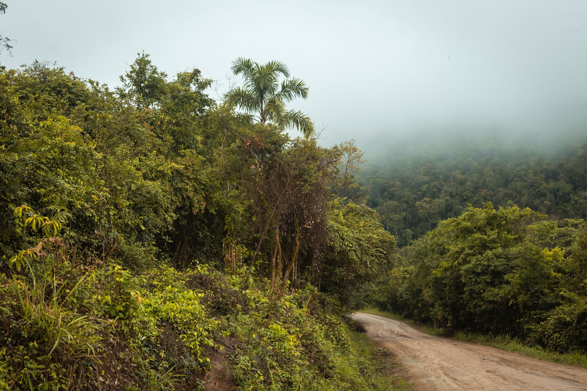
The sanctuary sits off the Southern Highway, reached via a six-mile unpaved road from Maya Center Village, where a women's cooperative runs the gift shop at the entrance. Pick up a trail map at the office — BZ$5 — and rent binoculars if you didn't pack your own.
💛 What travellers fall for
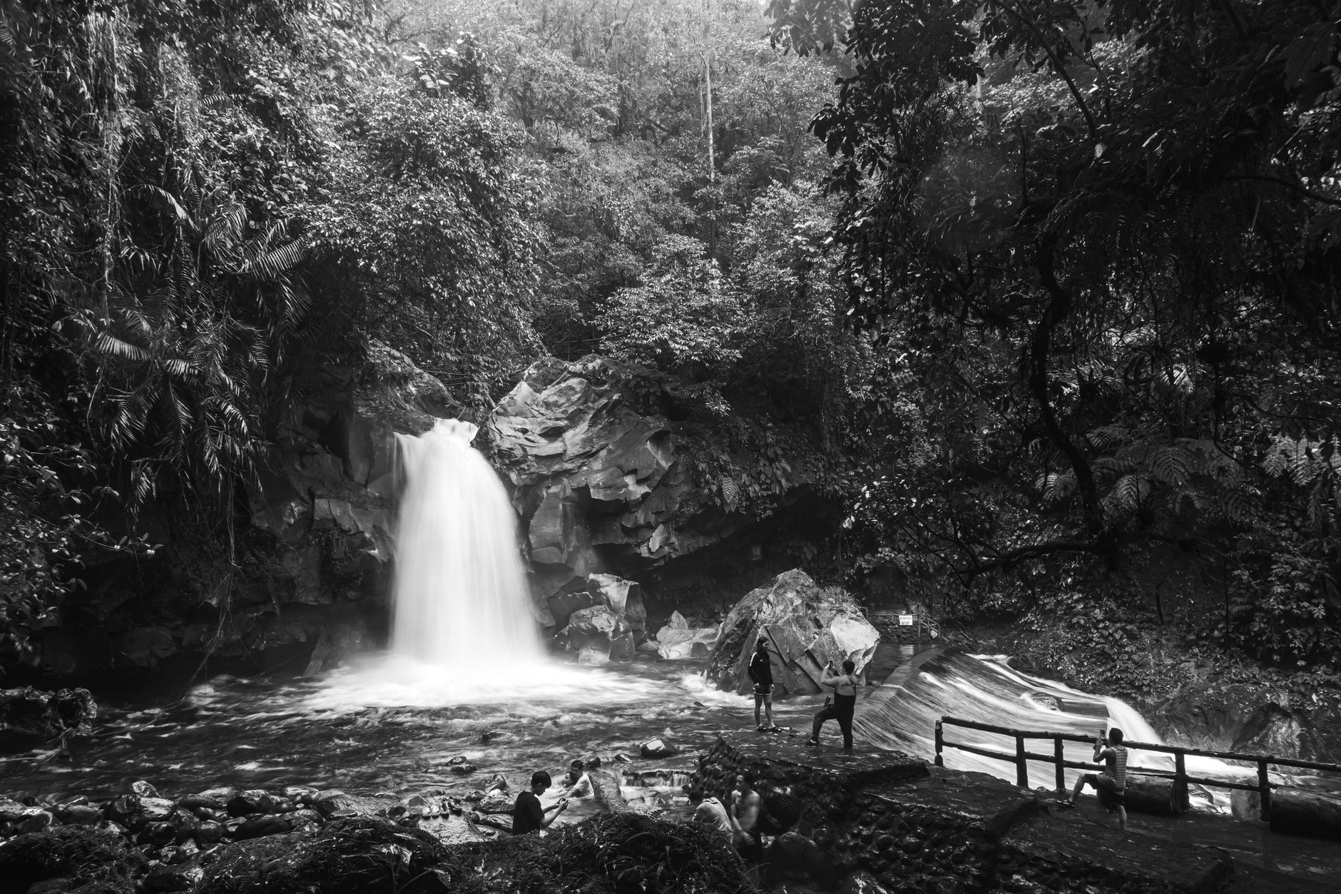
People who return tend to stay overnight in the Balum Naj cabin rather than day-tripping from Hopkins or Placencia. The basin changes completely after other visitors leave — the bird noise fills in, the trails feel longer. Tiger Fern Trail is the one worth the sweat: steep going, two waterfalls, and a swimming hole cold enough to matter.
How Cockscomb Basin Wildlife Sanctuary came to be
People lived in this basin as far back as 10,000 BCE, and the ancient Maya left traces throughout. Modern documentation came later and more disruptively: commercial logging of cedar and mahogany ran from 1927 until 1984, the same year a young Alan Rabinowitz completed a two-year study confirming the area held the highest recorded density of jaguars on earth.
The government declared a forest reserve in 1984, and on February 26, 1986, a portion became an official wildlife sanctuary — the world's first dedicated jaguar reserve. Ignacio Pop, hired as one of the first wardens, received a WWF award from Prince Philip in 1988. The sanctuary has grown from 3,600 acres to 128,000, with a 1995 expansion connecting it to the Bladen Branch Nature Reserve.
Who and what shaped it
People who shaped it
Landmark buildings
See Cockscomb Basin Wildlife Sanctuary in motion
Plan your visit
On the map
When to go
Temperatures stay warm year-round, peaking around 31°C in May and settling to a more comfortable 27°C in January. The basin receives significant rainfall — over 1,600 mm annually — so the dry season window of December through May is when trails are most passable and Victoria Peak is actually climbable.
Right now
Background & history adapted from Wikipedia (CC BY-SA) · specs from Wikidata (CC0) · weather from Open-Meteo · map data © OpenStreetMap contributors · photos from Wikimedia Commons / Unsplash with per-image credit. No third-party reviews or social posts reproduced.