
Cockpit Country
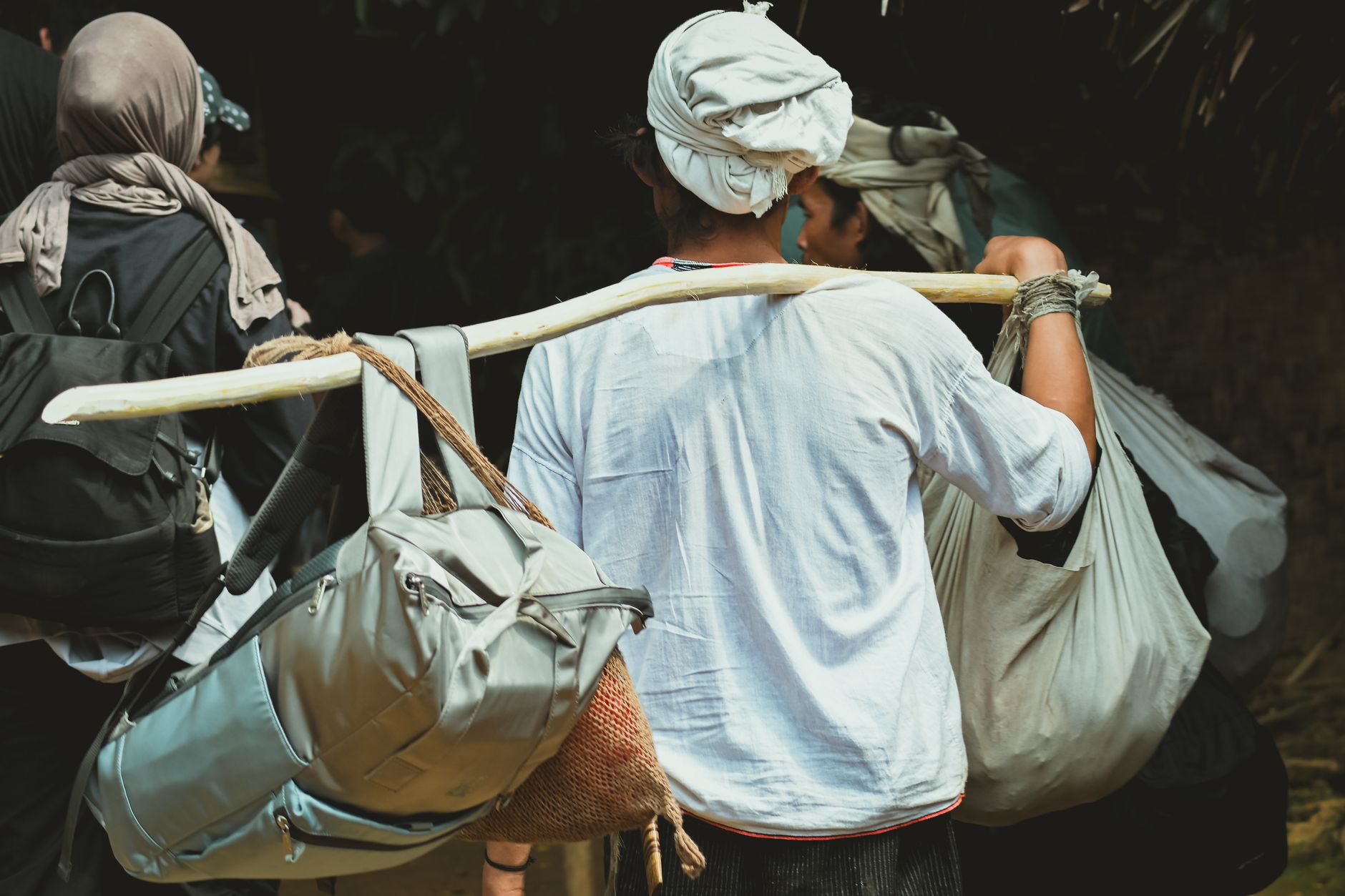
The place names alone tell you something is different here. Me No Sen You No Come. Wait-a-Bit. Rest and Be Thankful District. Cockpit Country, a limestone karst wilderness in Jamaica's interior, is a landscape that earned its strangeness honestly — a terrain of conical hills and steep-sided depressions that swallowed armies and sheltered freedom for generations.
The only drivable route across it, the Barbecue Bottom Road, runs through a deep fault valley and gives a narrow sense of what lies beyond the road's edge. The rest — the caves, the ridge trails, the early-morning mist sitting low between the hills while birds call from trees that have stood here since before the plantation era — you reach on foot, with a guide who knows the ground.
How Cockpit Country came to be
The British named this territory during the First Maroon War, roughly 1730–1738, borrowing 'cockpit' from the lower deck of a warship — the place where the wounded were taken. It suited the landscape's brutality. Escaped enslaved people and their descendants had already turned the karst topography into a strategic stronghold: the deep hollows and forested ridges made pursuit nearly impossible.
Cudjoe, leader of the Leeward Maroons, built an Akan-style polity here, centered on what became known as Cudjoe's Town. He signed a peace treaty with the British in 1739 at Petit River Bottom. The district near Quick Step was called the Land of Look Behind — Spanish horsemen had ridden two to a mount, one facing rearward, watching for ambush. The Forest Reserve was designated in 1950; the Protected Area boundary was formally gazetted in March 2022.
Who and what shaped it
People who shaped it
Landmark buildings
See Cockpit Country in motion
Plan your visit
On the map
When to go
Rainfall runs between 1,500 and 2,500 mm annually, and humidity on the trails reaches 100 percent — your clothes will be soaked through within the first hour of hiking. Early morning starts are standard practice, both for the cooler air and for the low mist that settles between the hills before the sun climbs.
Background & history adapted from Wikipedia (CC BY-SA) · specs from Wikidata (CC0) · weather from Open-Meteo · map data © OpenStreetMap contributors · photos from Wikimedia Commons / Unsplash with per-image credit. No third-party reviews or social posts reproduced.