
Chobe National Park
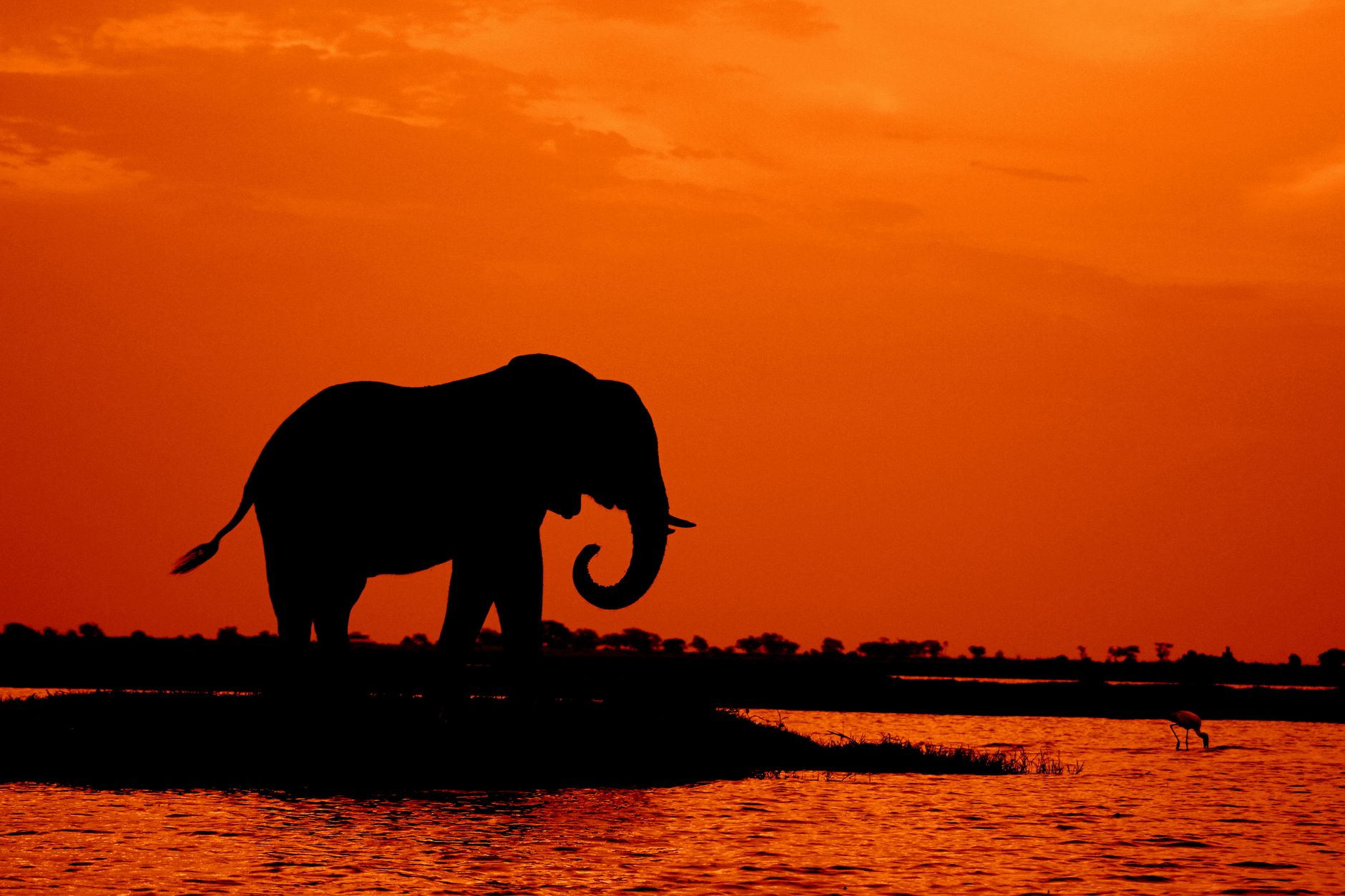
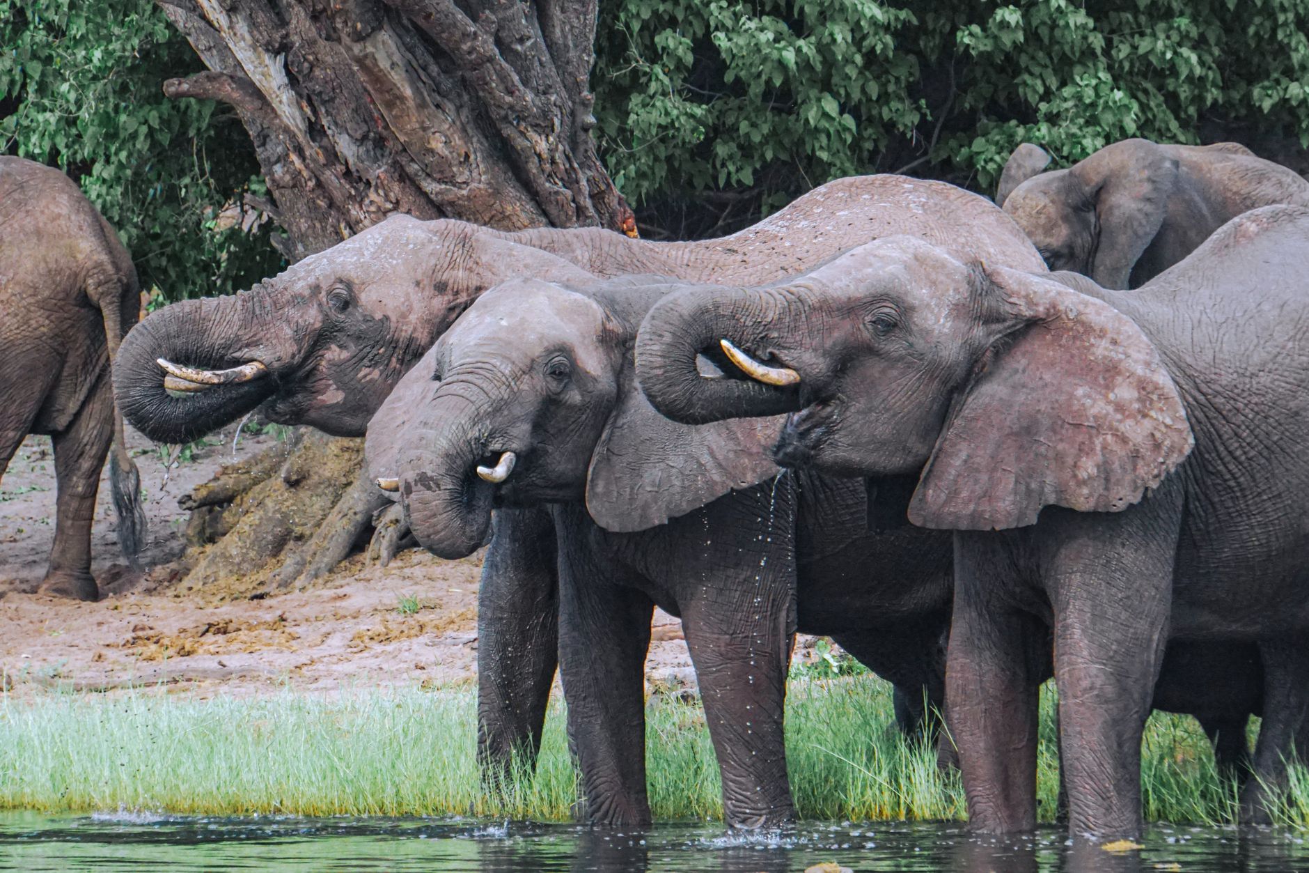
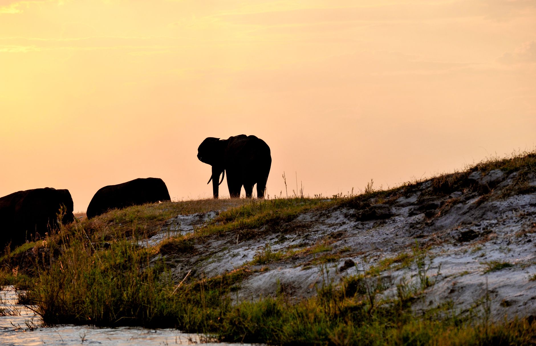
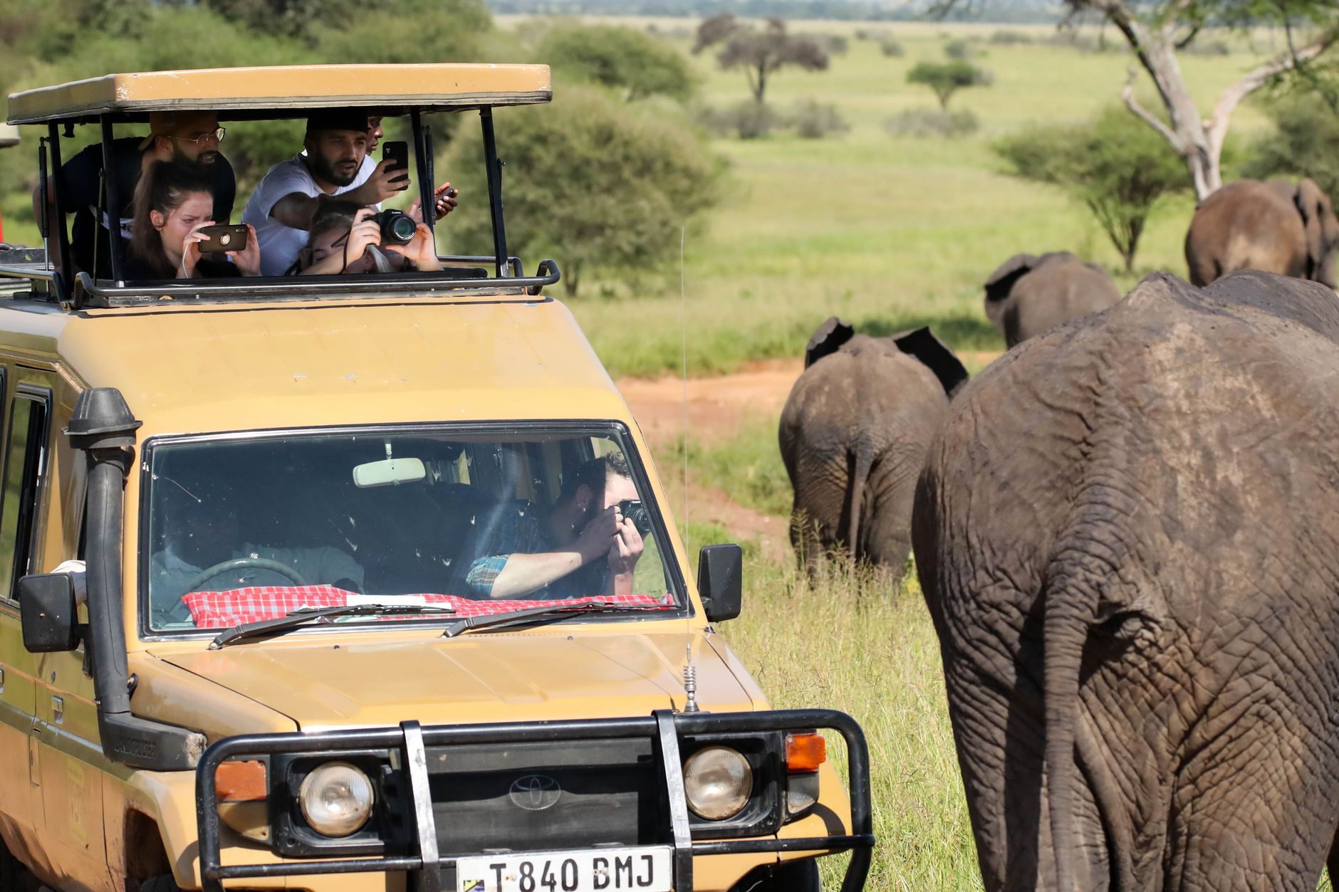
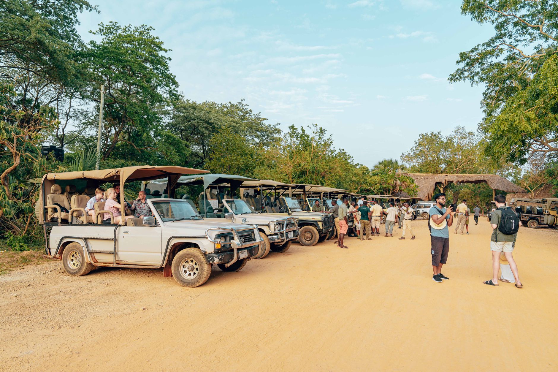
Stand on the bank of the Chobe River in July and you will count elephants the way other places count pigeons. Up to 50,000 of them move down to the water during the dry season, raising slow red dust clouds along the floodplain. It is the densest concentration of elephants on earth, and it makes the air feel different — older, somehow, and less edited.
Chobe covers roughly 11,700 square kilometres of northern Botswana, taking in four distinct ecosystems: the riverfront, the Savuti marsh, the Linyanti wetlands, and the dry hinterland of the Nogatsaa plateau. Each rewards a different kind of attention.
How Chobe National Park came to be
The idea of protecting this land dates to 1931, when colonial administrators first proposed a national park in the region. A year later, 24,000 square kilometres were declared a non-hunting area, later expanded to 31,600 square kilometres. The project stalled in 1943 when a tsetse fly infestation made the area practically unworkable, and the land was left largely alone for a decade.
Work resumed in 1953, and by 1960 the Chobe Game Reserve was formally established. When Botswana gained independence, the reserve was upgraded to become the country's first national park — designated in the late 1960s. Settlements at Serondela were relocated in 1980 and again in 1987 as boundaries expanded. The San people, whose ancestors left rock art in the quartzite hills of Savuti, had been here long before any of those decisions were made.
Who and what shaped it
Landmark buildings
See Chobe National Park in motion
Plan your visit
On the map
When to go
The dry season, May through October, is the clearest time to visit: mornings can drop to 8°C in June and July, afternoons settle around 28°C, and the retreating water concentrates wildlife along the river in extraordinary numbers. The wet season, November through March, brings afternoon thunderstorms and temperatures pushing 35°C, but also the zebra migration south toward Makgadikgadi — up to 30,000 animals moving across the landscape.
Right now
Background & history adapted from Wikipedia (CC BY-SA) · specs from Wikidata (CC0) · weather from Open-Meteo · map data © OpenStreetMap contributors · photos from Wikimedia Commons / Unsplash with per-image credit. No third-party reviews or social posts reproduced.