
Chiriquí Province
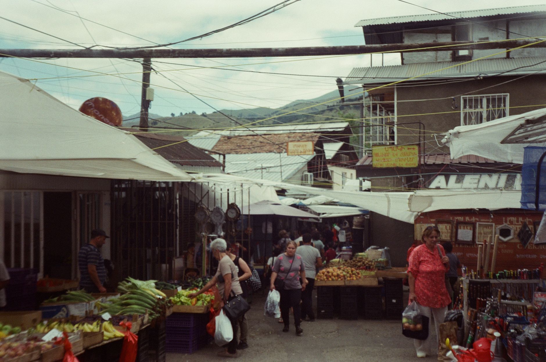
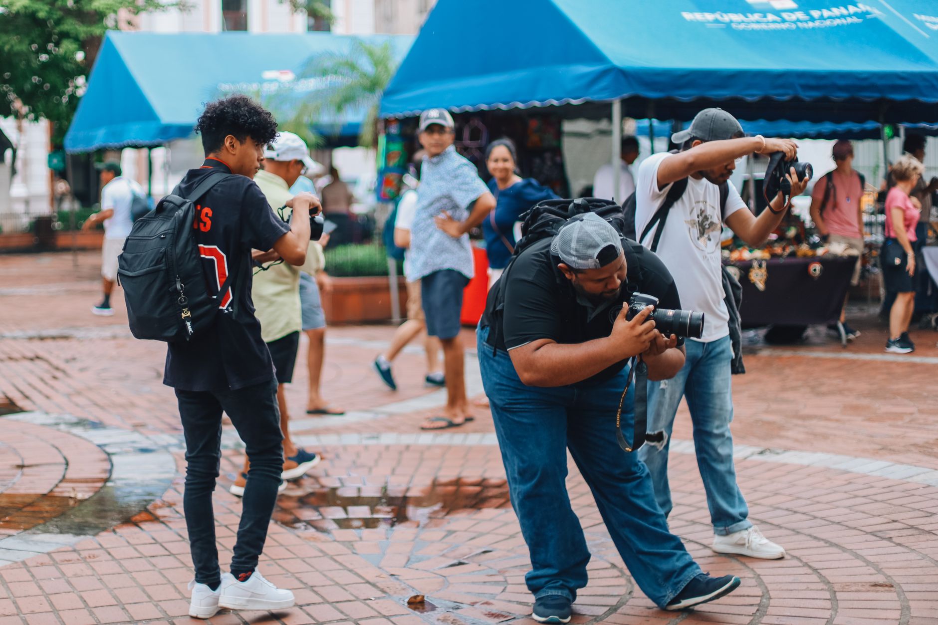
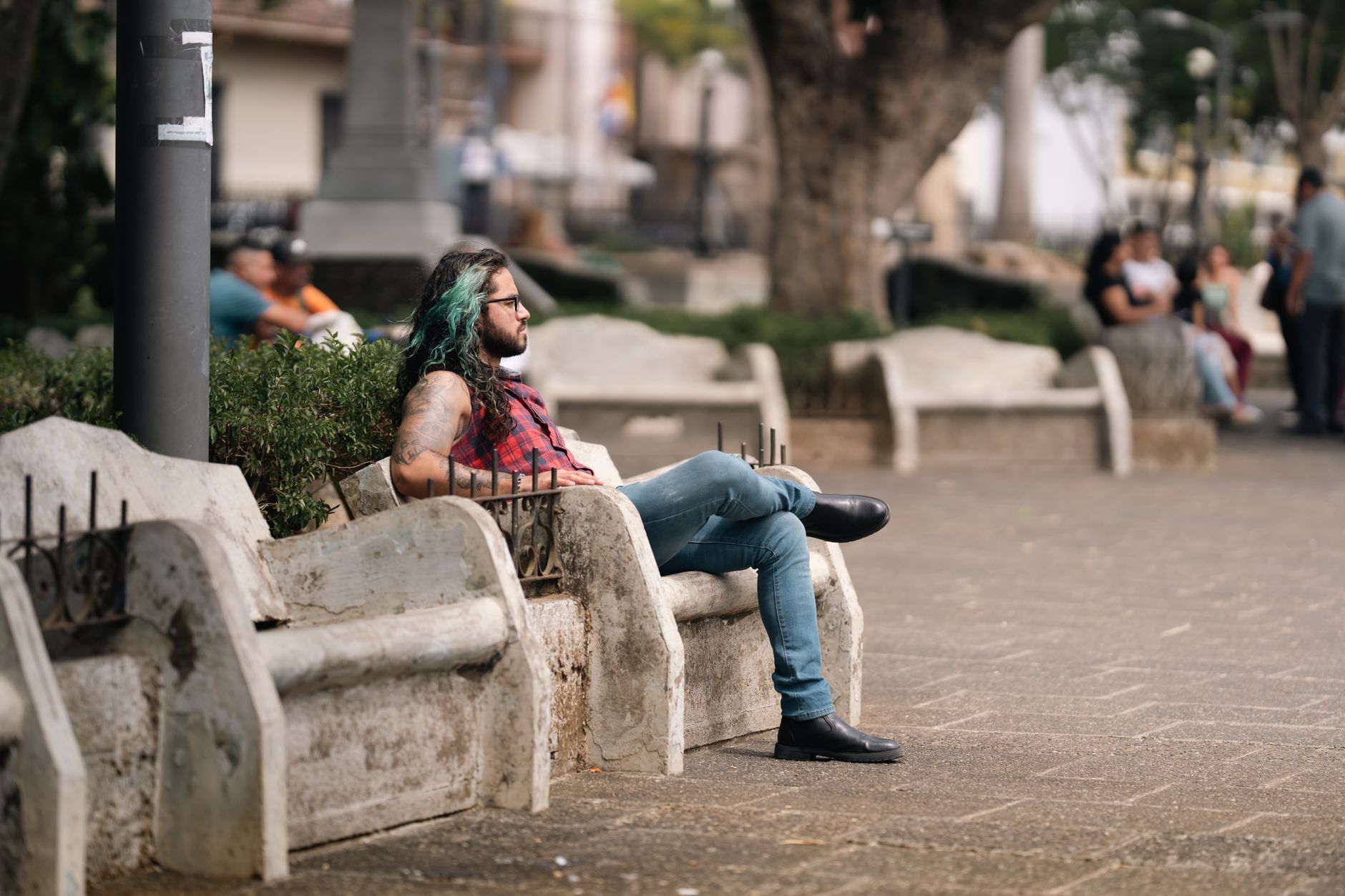
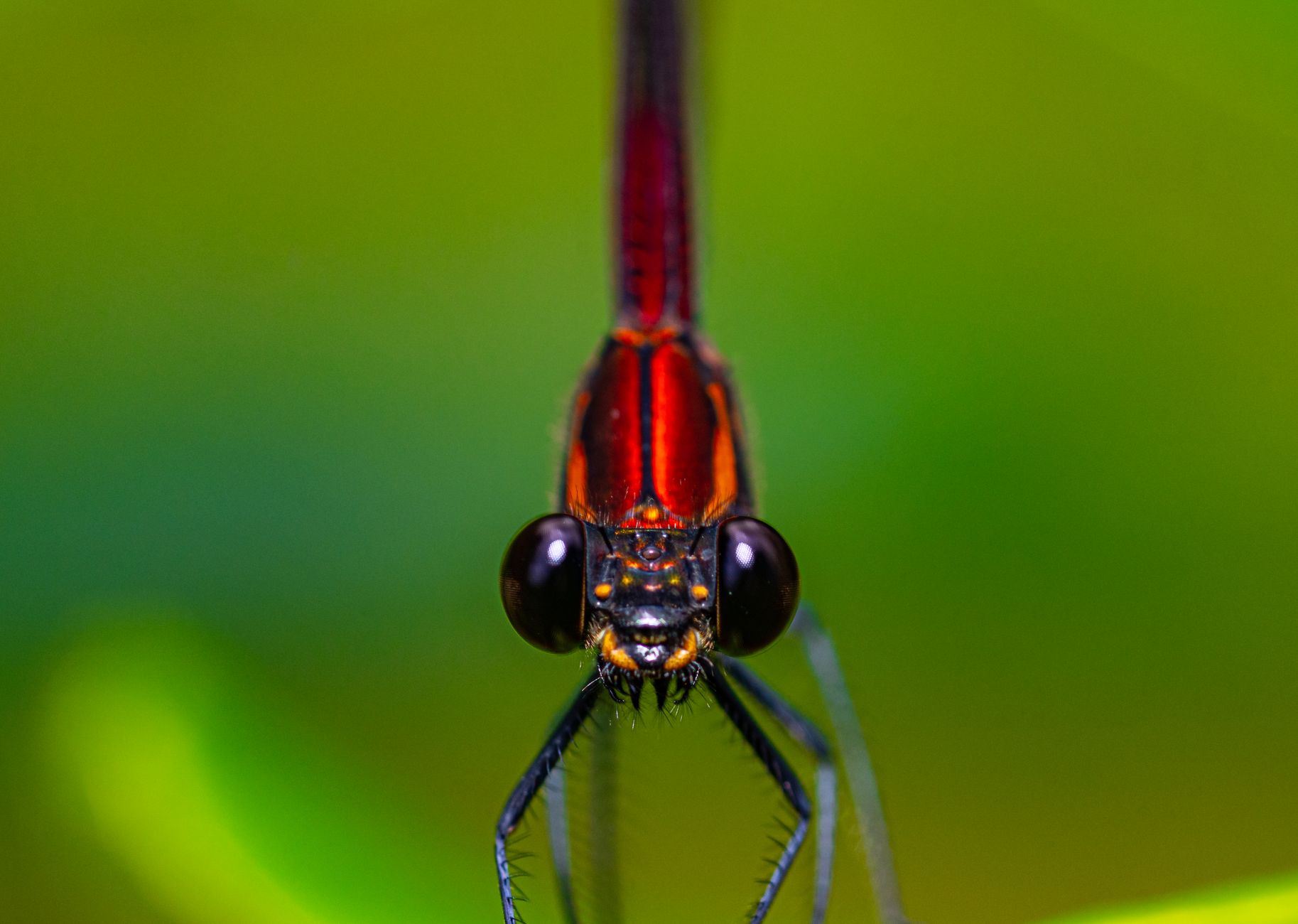
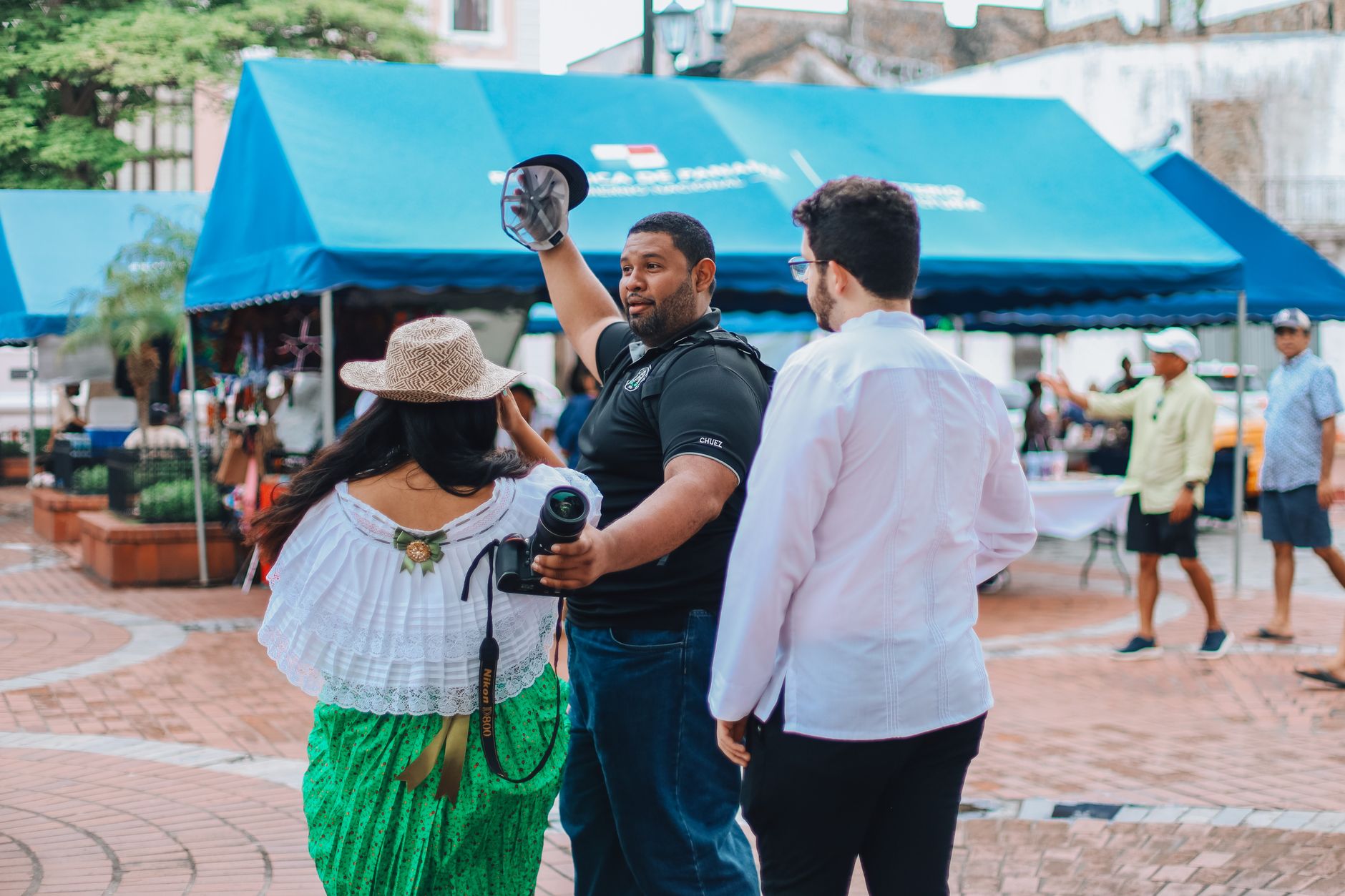

Chiriquí is where Panama tilts upward. The western province runs from Pacific coast to cloud forest, from coral reef to the country's highest peak — Volcán Barú at 3,478 metres — and the altitude shift alone changes everything: temperature, vegetation, pace. Ngöbe women in long, brightly coloured cotton dresses move through highland markets; coffee grows on steep volcanic slopes; and the Gulf of Chiriquí, below, holds manta rays and sea turtles inside a protected marine park.
David, the provincial capital, keeps things grounded — a working city that generates over half the province's GDP and serves as the main transit hub. From there, the highlands open north toward Cerro Punta and the border with Costa Rica, where Parque Internacional La Amistad spreads across 4,000 square kilometres of forested mountain on both sides.
How Chiriquí Province came to be
Gaspar de Espinosa reached this corner of the isthmus in 1519, encountering the Guaymí people who had long occupied the region. Governor Juan López de Siqueira founded David in 1602, though the settlement was destroyed in 1732 by Miskito raiders backed by British interests. The province formally came into being on 26 May 1849, while Panama still belonged to Colombia.
Chiriquí's modern shape owes much to agriculture and infrastructure: a railway operating between 1916 and 1949, built under Belisario Porras, accelerated the exploitation of its fertile land. The province also holds an unlikely footnote in American history — Abraham Lincoln proposed it as the site of Linconia, a resettlement colony for free Black Americans. Later, Manuel Noriega's early military career played out here, including the episode of lining up jeeps on a David runway to allow Omar Torrijos's aircraft to land after a coup.
Who and what shaped it
People who shaped it
Landmark buildings
See Chiriquí Province in motion
Plan your visit
On the map
When to go
The highlands around Boquete and Cerro Punta stay cool and misty year-round, with afternoon rain common outside the dry season (roughly December to April). The Pacific lowlands around David run hotter and drier; peak tourism falls over Christmas, New Year's, and Easter, when the coffee harvest is also underway.
Right now
Background & history adapted from Wikipedia (CC BY-SA) · specs from Wikidata (CC0) · weather from Open-Meteo · map data © OpenStreetMap contributors · photos from Wikimedia Commons / Unsplash with per-image credit. No third-party reviews or social posts reproduced.