
Chichen Itza
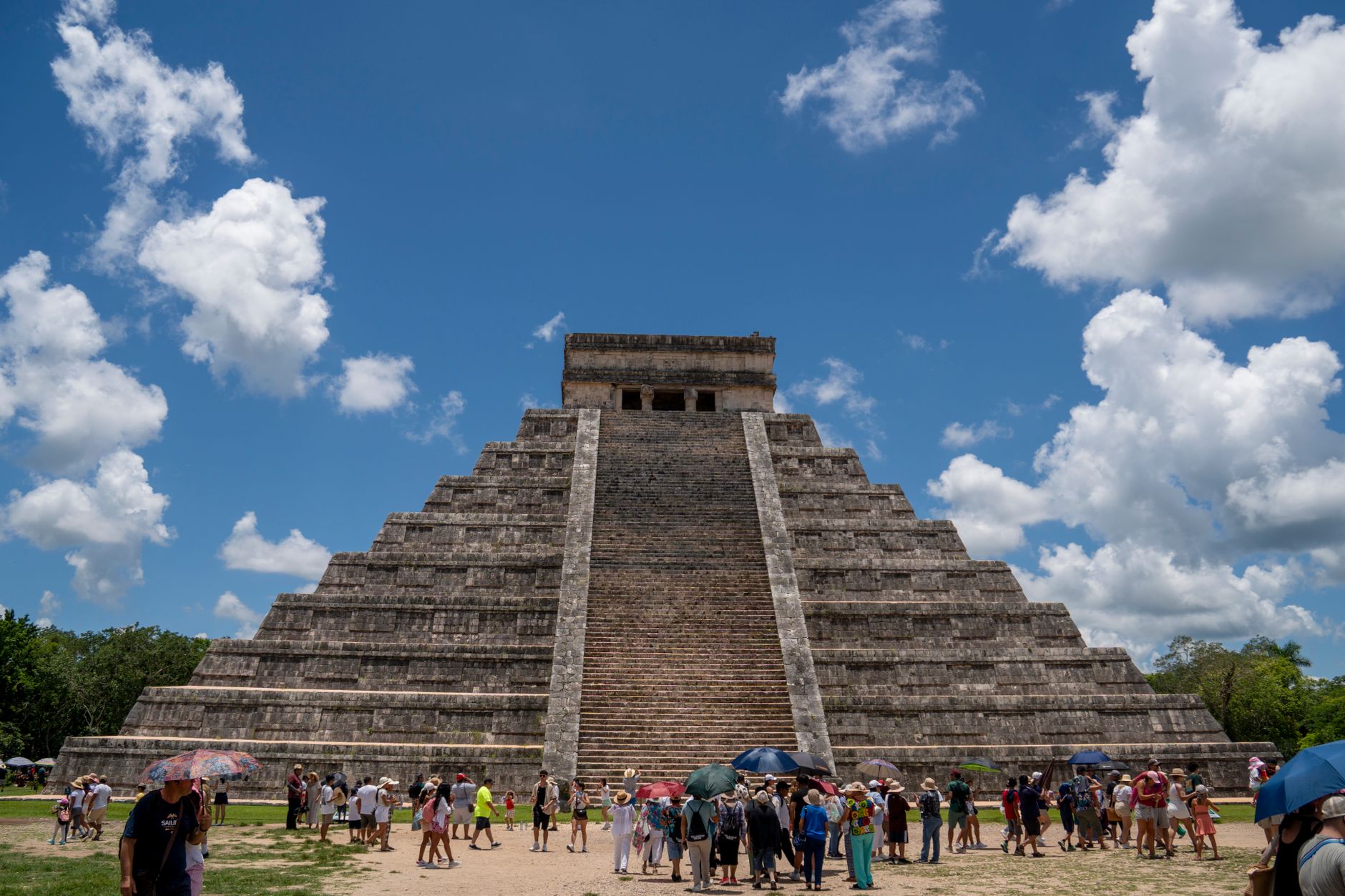
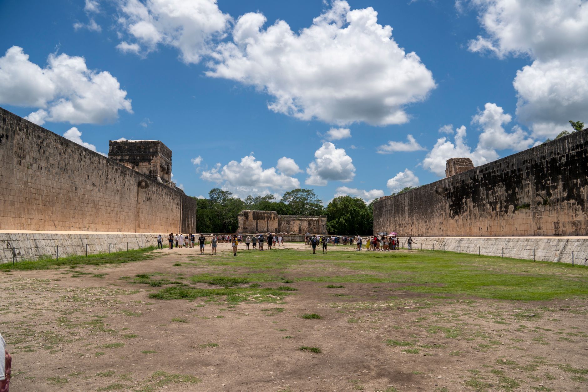
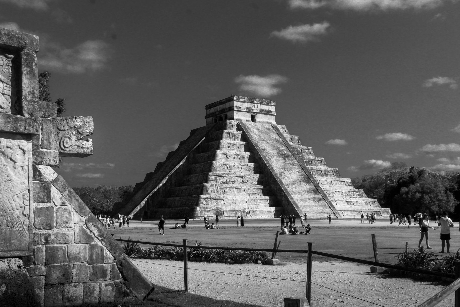
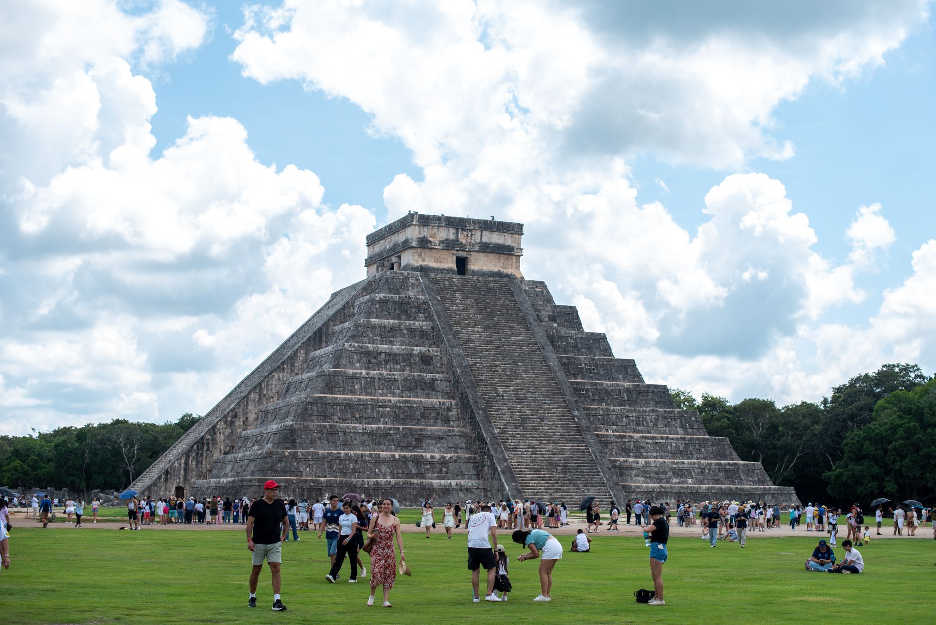
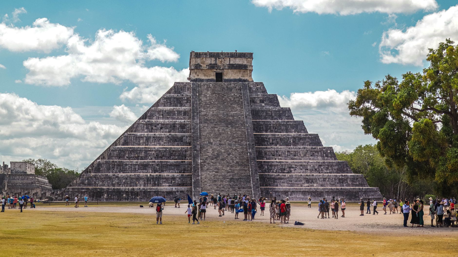
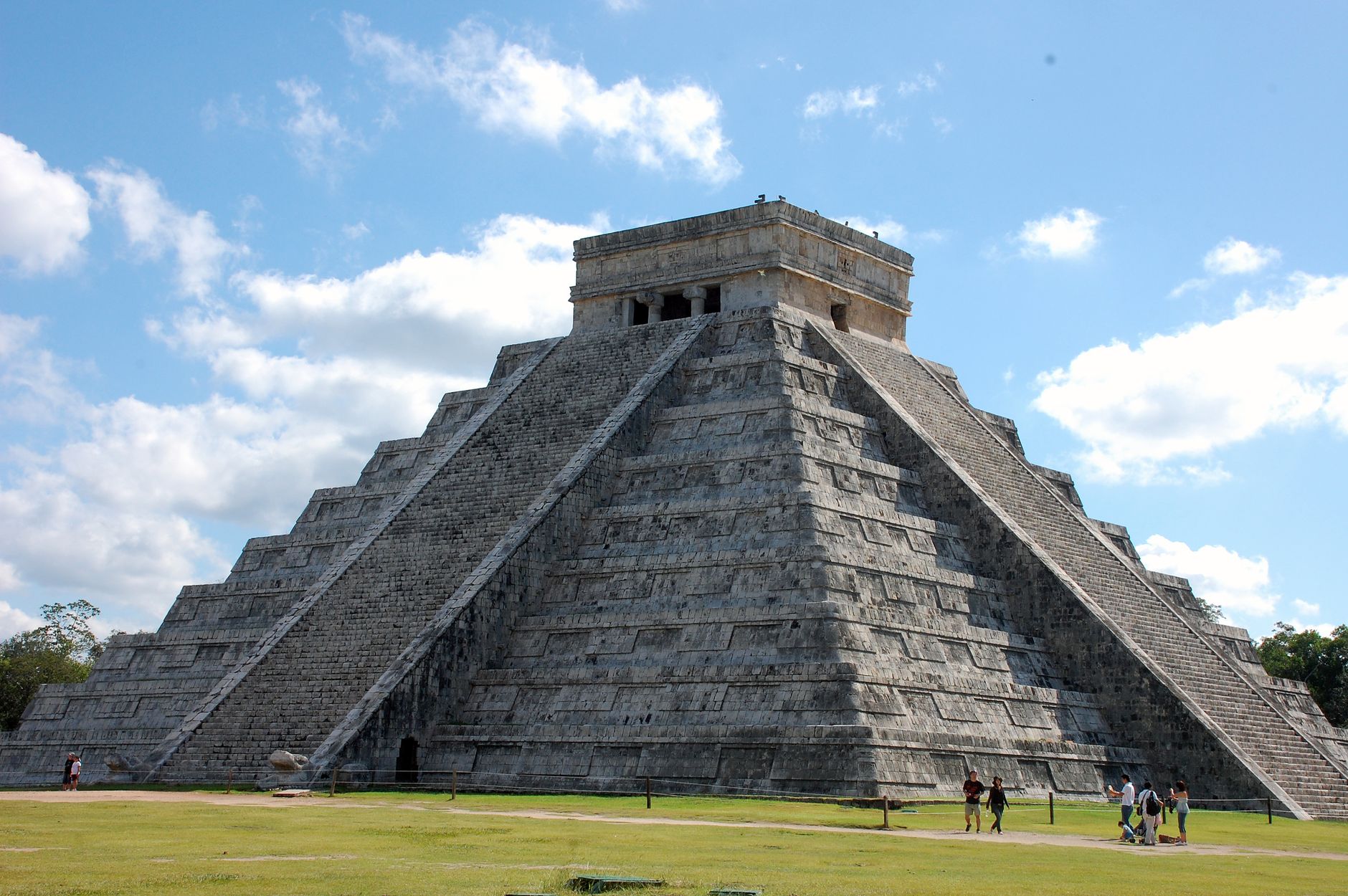
At the centre of Chichen Itza stands a pyramid that counts the days. El Castillo — the Temple of Kukulcán — rises 79 feet above the main plaza with exactly 365 steps, one for each day of the solar year, built between the 8th and 12th centuries by a civilisation that treated astronomy as architecture. What 2025 research confirmed is even stranger: there is an older pyramid sealed inside it, a building within a building.
Chichen Itza is a large site, roughly 10 square kilometres, laced with more than 80 paved stone causeways connecting temples, a colonnaded marketplace, an observatory shaped like a snail, and the largest ancient ball court in the Americas — 545 feet long, 223 feet wide.
How Chichen Itza came to be
People settled here around the 6th century CE, drawn by the cenotes — natural sinkholes that gave year-round access to fresh water in an otherwise dry limestone landscape. The site's core took shape between 750 and 900 AD; the earliest known carved date on the site corresponds to 832 AD. The Itza people arrived around 800 AD and eventually made this their regional capital, leaving their name on the city itself.
Ita power lasted roughly a century before Mayapán's rulers defeated them around 1200–1250 AD, after which the city went into decline. Western archaeology arrived much later: Augustus Le Plongeon excavated the Chac Mool statue in 1875, and Edward Herbert Thompson spent thirty years exploring the site after purchasing the surrounding hacienda in 1894. UNESCO designated Chichen Itza a World Heritage Site in 1988.
Who and what shaped it
People who shaped it
Landmark buildings
See Chichen Itza in motion
Plan your visit
On the map
When to go
The climate is tropical savanna — warm every month, with a dry season roughly November through April (March averages barely 18 mm of rain) and a wet season peaking in September. January sits around 30°C (86°F) at its coolest; May can push to 36°C (97°F), so early mornings are worth the early alarm.
Right now
Background & history adapted from Wikipedia (CC BY-SA) · specs from Wikidata (CC0) · weather from Open-Meteo · map data © OpenStreetMap contributors · photos from Wikimedia Commons / Unsplash with per-image credit. No third-party reviews or social posts reproduced.