
Chiang Rai
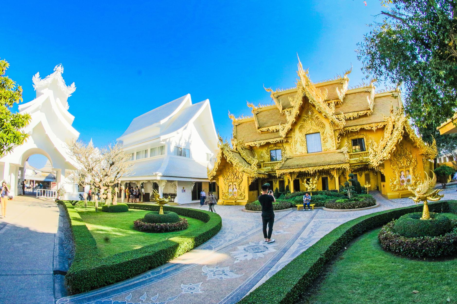
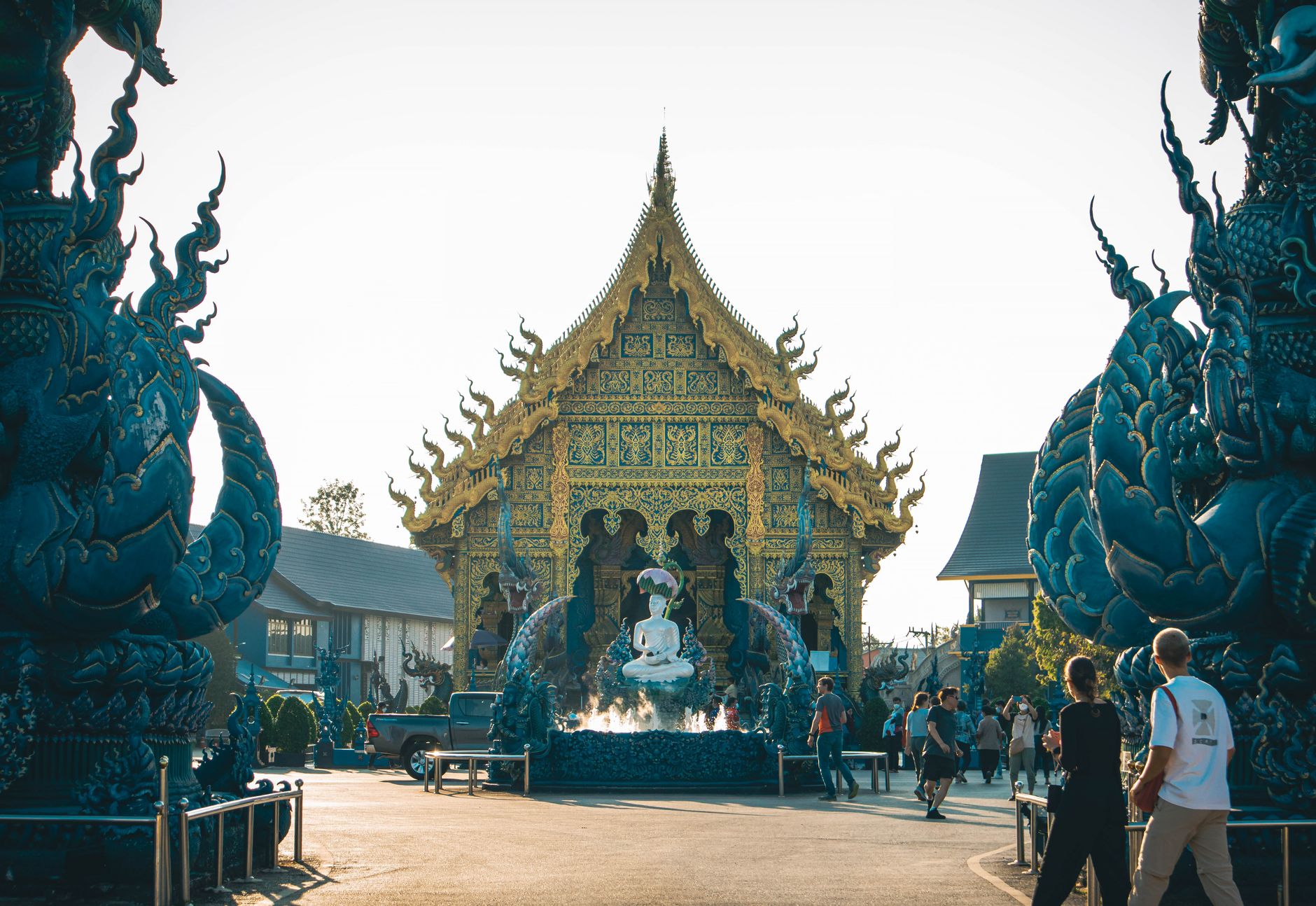
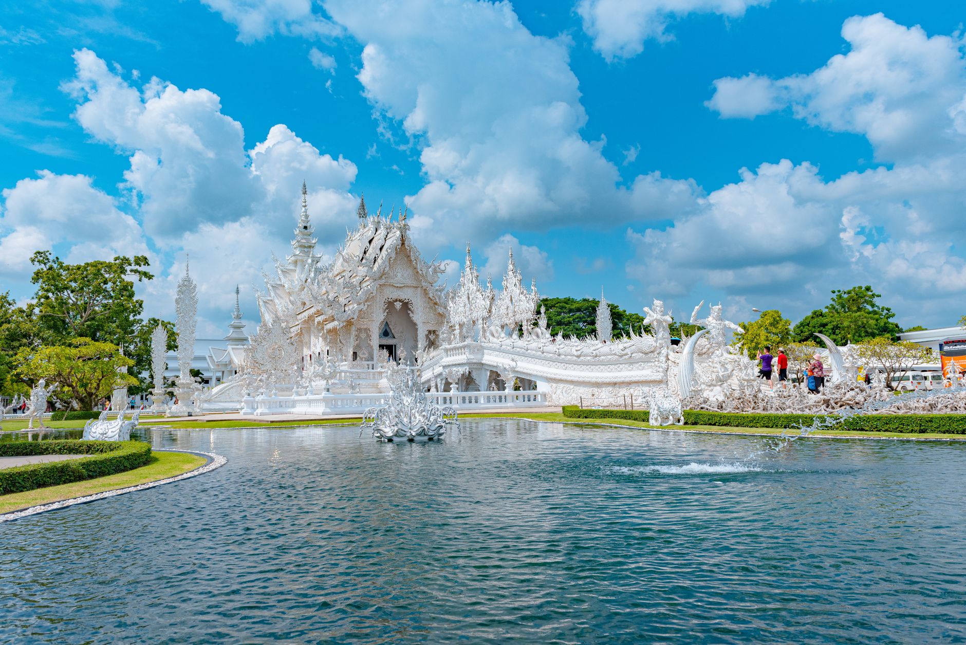
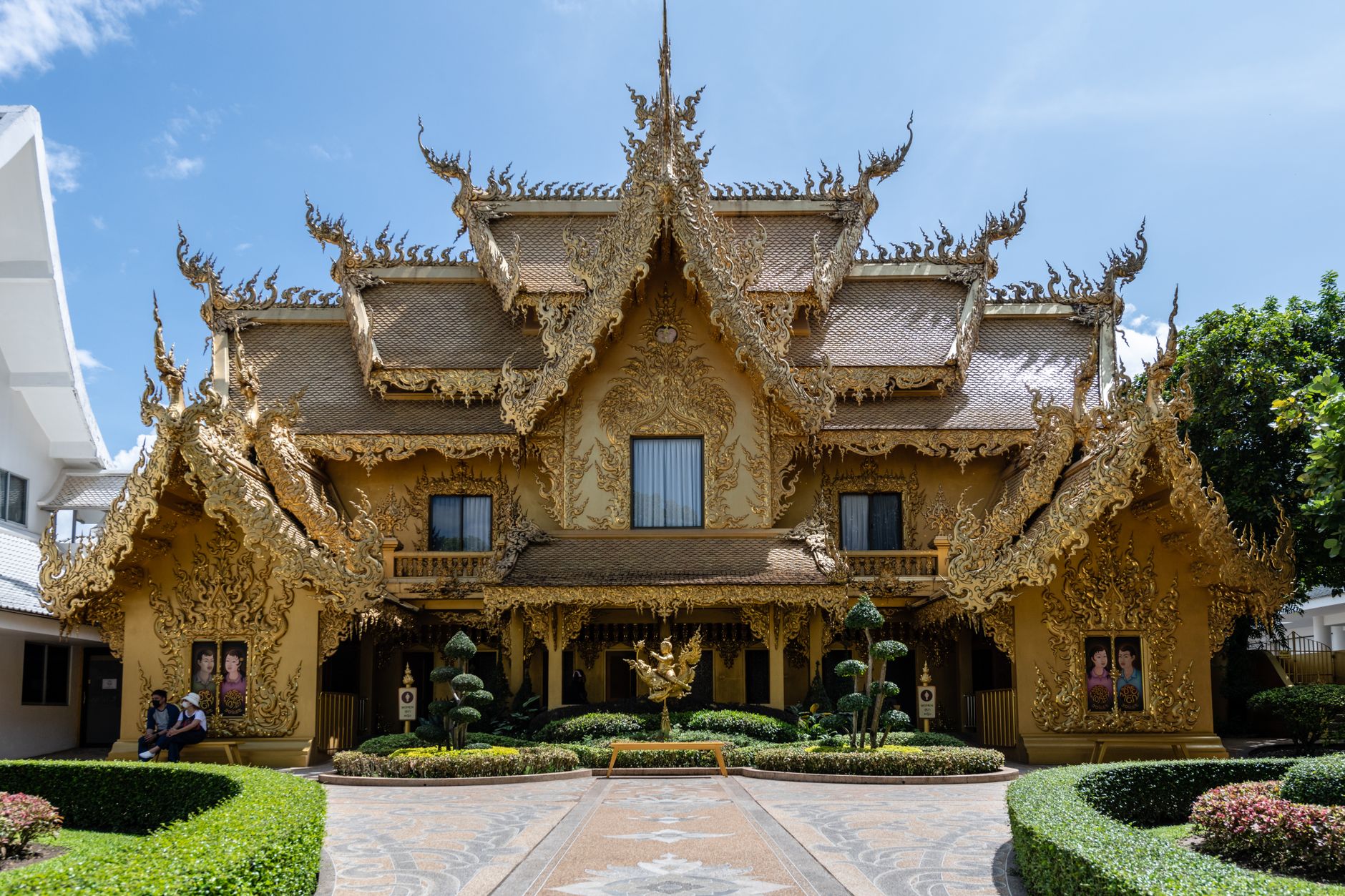
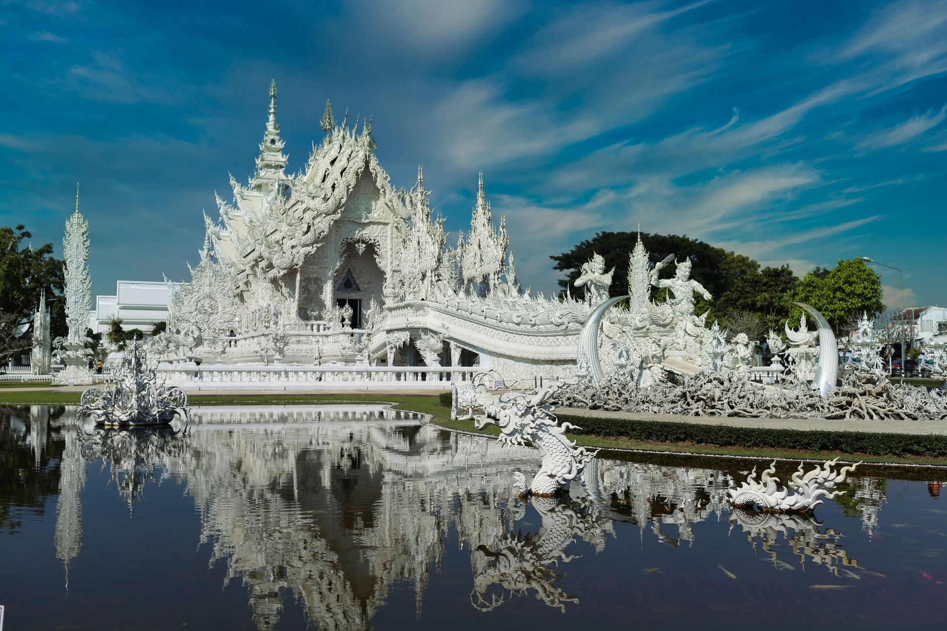
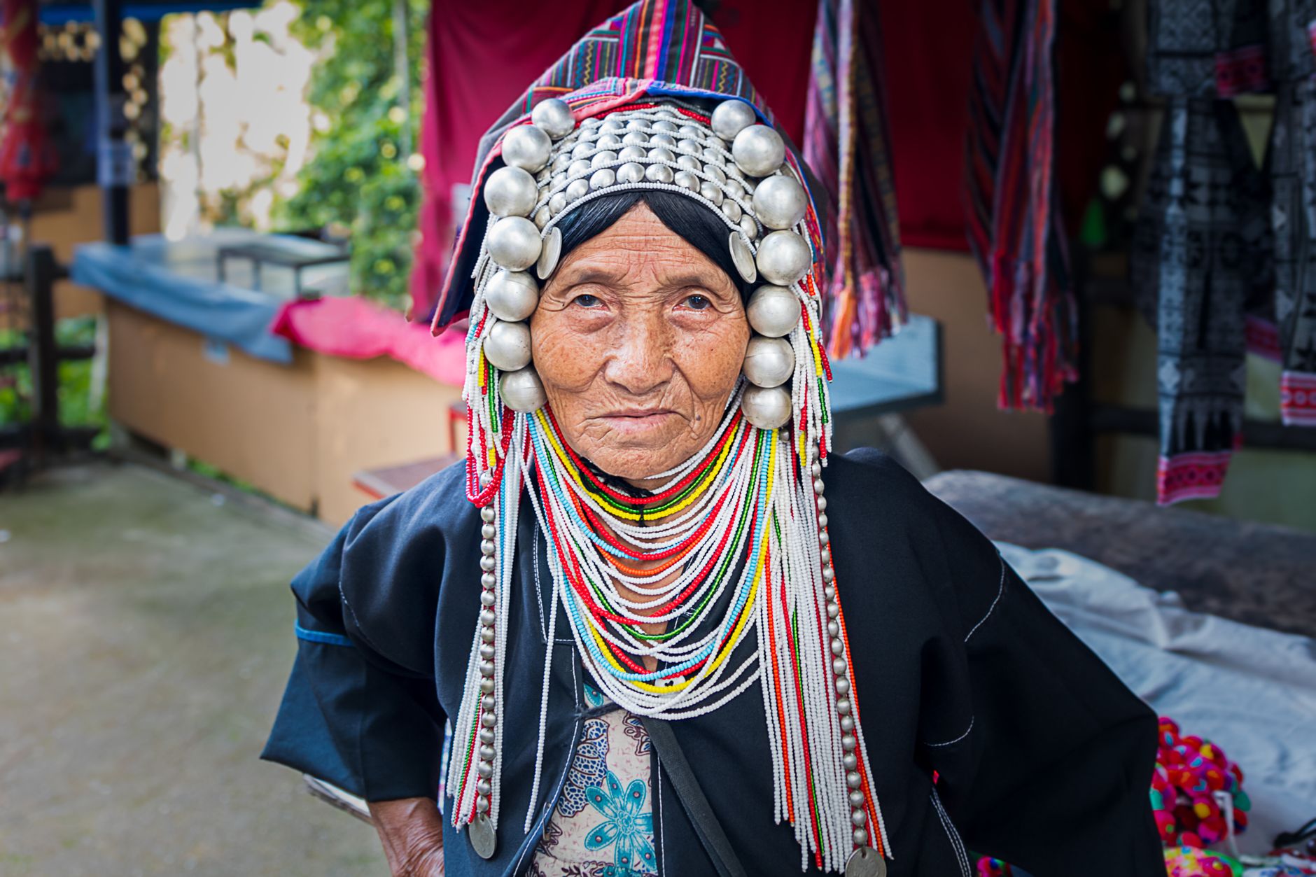
Chiang Rai sits at the top of Thailand, close enough to the borders of Myanmar and Laos that you feel the country beginning to change around you — the air cooler, the hills closer, the faces reflecting the Karen, Akha, Hmong and Lisu communities that make up roughly one in eight people here. The city itself is compact and walkable, anchored by the Kok River, and what draws most people out of it are temples unlike anything else in the country: a White Temple still under construction by the artist who funds it himself, a Blue Temple unveiled only in 2016, a 70-metre Guanyin statue you can ride an elevator into.
This is Thailand's northernmost province, and it wears that edge-of-the-map quality without making a fuss about it.
How Chiang Rai came to be
King Mangrai founded Chiang Rai in 1262 as the capital of his dynasty — the name simply means 'City of (Mang)Rai'. He moved the capital to Chiang Mai in 1296, but Chiang Rai held on as a strategic northern outpost. Burma eventually conquered it and held the city for several hundred years, a long occupation that ended in 1786 when Chiang Rai became a Siamese vassal state.
The province formally joined Thailand's administrative structure in 1933. Along the way, its medieval walls — once comparable to Chiang Mai's — were demolished in the nineteenth century on the recommendation of a Dutch engineer who considered them a public health hazard. Wat Phra Kaew, one of the city's oldest temples, gained a different kind of fame in 1434 when lightning cracked open a stupa and revealed the Emerald Buddha inside, a statue now kept in Bangkok.
Who and what shaped it
People who shaped it
Landmark buildings
See Chiang Rai in motion
Plan your visit
On the map
When to go
November through February is the coolest and driest stretch — nights can drop noticeably, so bring a layer. March and April turn hazy from agricultural burning across the region. The rainy season runs roughly May to October, with the hills turning deep green but roads to more remote areas occasionally flooding.
Right now
Background & history adapted from Wikipedia (CC BY-SA) · specs from Wikidata (CC0) · weather from Open-Meteo · map data © OpenStreetMap contributors · photos from Wikimedia Commons / Unsplash with per-image credit. No third-party reviews or social posts reproduced.