
Chaguaramas
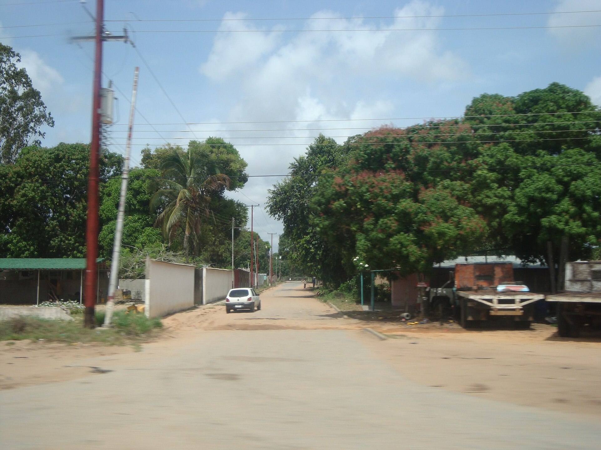
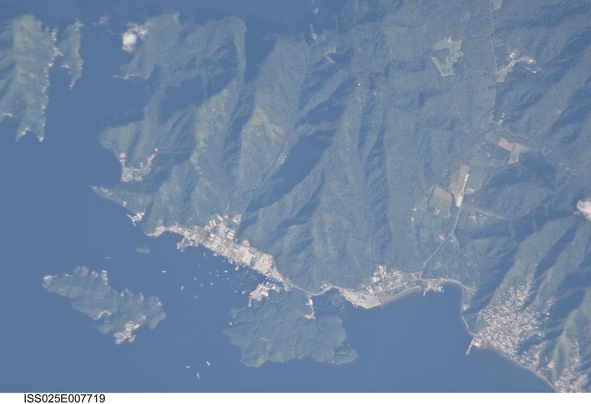
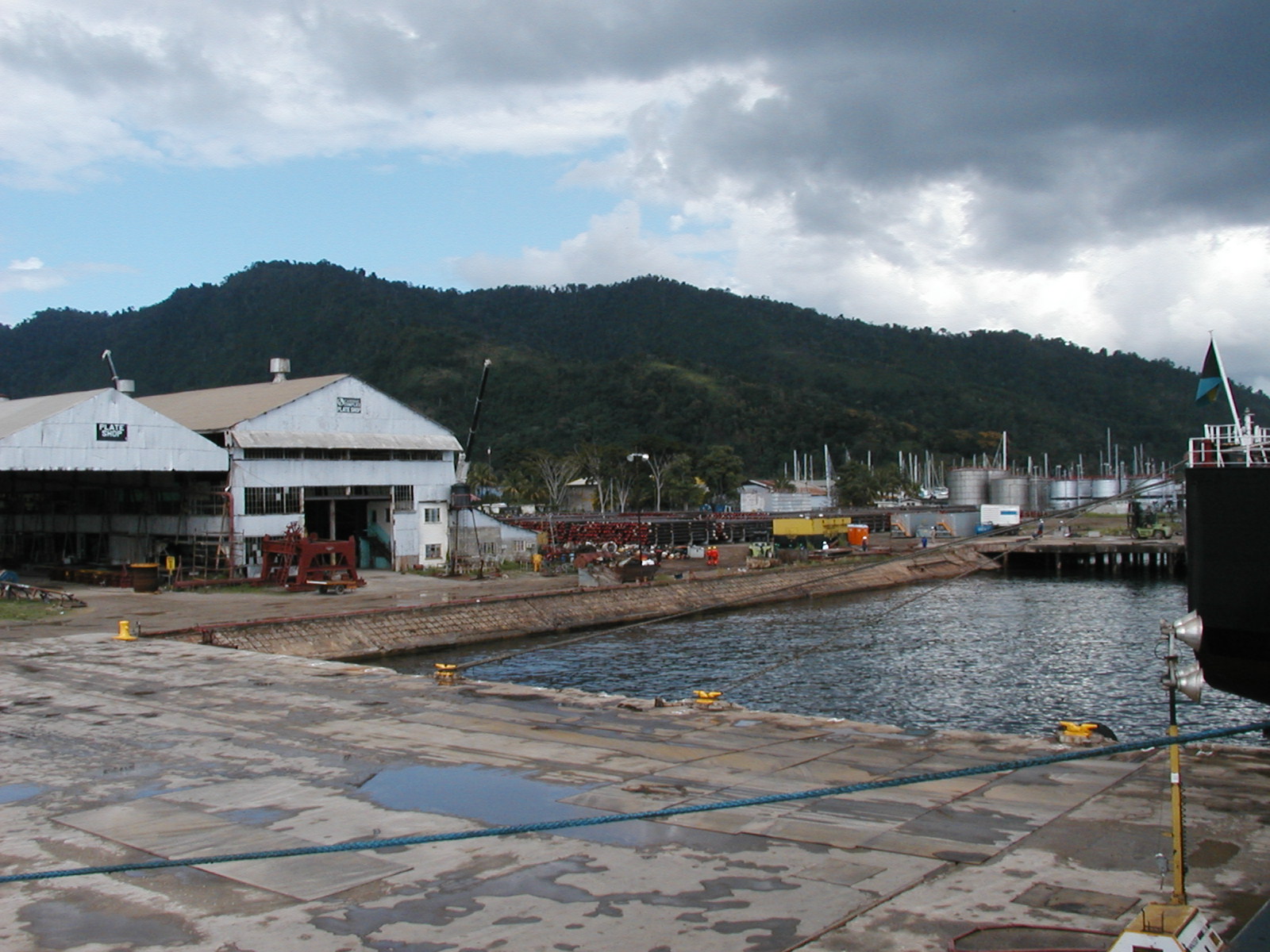
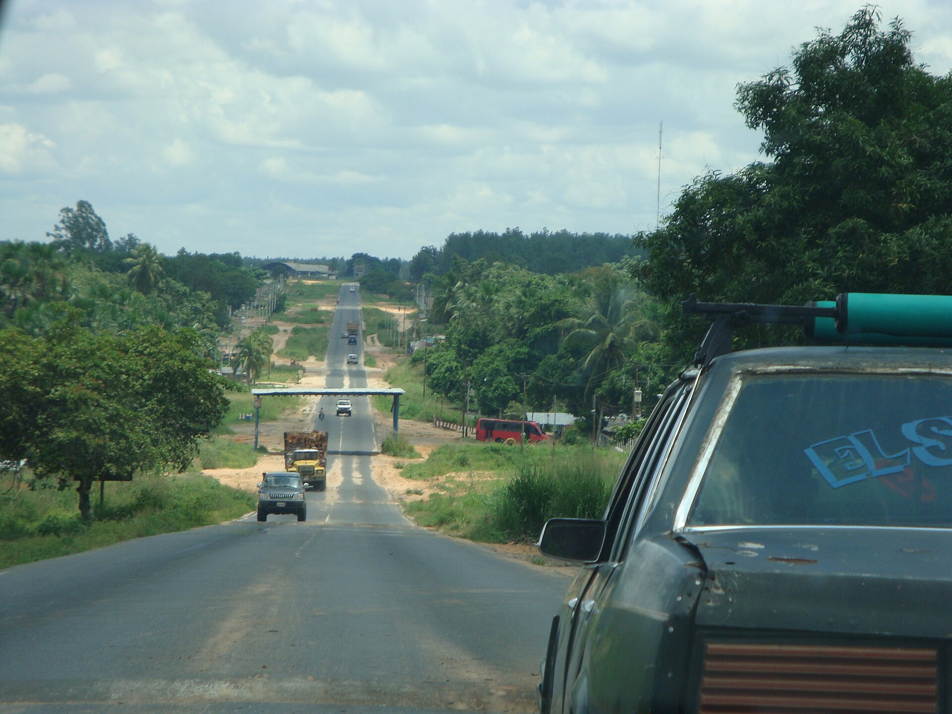
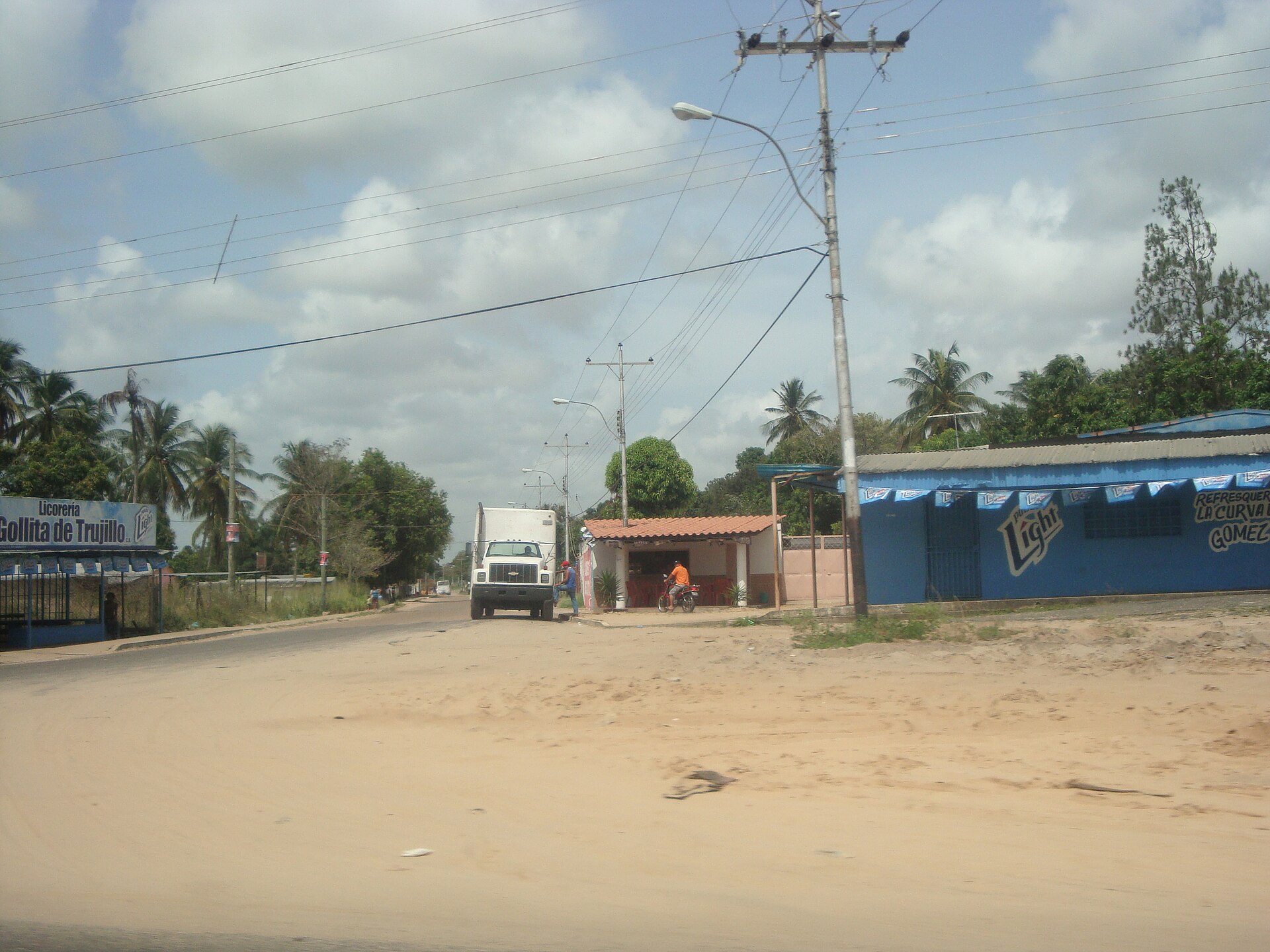
The pink buildings along the dockside at Chaguaramas are stained that colour by bauxite dust — a detail that tells you something about the peninsula's working character before you've even left the car. Fourteen kilometres west of Port of Spain, this stretch of Trinidad's northwest coast runs between forested hills and a sheltered bay full of masts, and it carries more layers of history than its size suggests.
The marinas handle yacht repairs and refuelling; Tucker Valley trails climb to a 250-foot waterfall; a lane of intertwining bamboo arches overhead like the nave of a cathedral. Chaguaramas rewards slow movement and curiosity over a checklist approach.
💛 What travellers fall for
Regulars tend to land on a few favourite combinations: the Bamboo Cathedral early, before the light goes flat, then lunch at the UPick Farm in Tucker Valley. For swimming, they skip the northwest coast entirely and go straight to Macqueripe — but they stay close to shore, knowing the seabed drops sharply not far out.
How Chaguaramas came to be
Amerindians lived here for millennia before Spanish colonials arrived and decimated their populations. By the mid-18th century the bays supported a thriving whaling trade. Then, in 1940, the entire peninsula was handed to the United States under the Destroyers for Bases Agreement — a wartime deal that brought some 30,000 American troops to Naval Base Trinidad by 1943.
After the war the base shrank, but the land didn't come back easily. Prime Minister Eric Williams turned the campaign for its return into a defining act of nationalist politics, and the full handover wasn't complete until 1977, a decade after partial reversion. Meanwhile, on July 4, 1973, the Treaty of Chaguaramas was signed here, bringing CARICOM into existence — making this peninsula both a Cold War footnote and the legal birthplace of Caribbean regional integration.
Who and what shaped it
People who shaped it
Landmark buildings
See Chaguaramas in motion
Plan your visit
On the map
When to go
The dry season, January through May, brings lower humidity and the best conditions for hiking and cave visits. The wet season runs June through December with frequent heavy downpours, though trade winds keep temperatures relatively steady year-round between roughly 25 and 30°C; mosquitoes are a persistent presence in the forested interior regardless of season.
Right now
Background & history adapted from Wikipedia (CC BY-SA) · specs from Wikidata (CC0) · weather from Open-Meteo · map data © OpenStreetMap contributors · photos from Wikimedia Commons / Unsplash with per-image credit. No third-party reviews or social posts reproduced.