
Central Kalahari Game Reserve
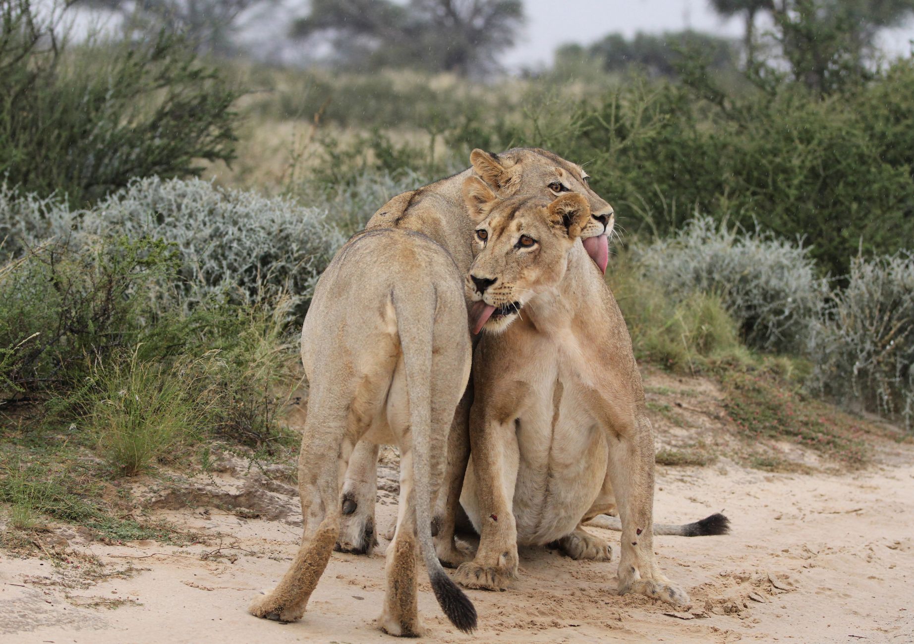
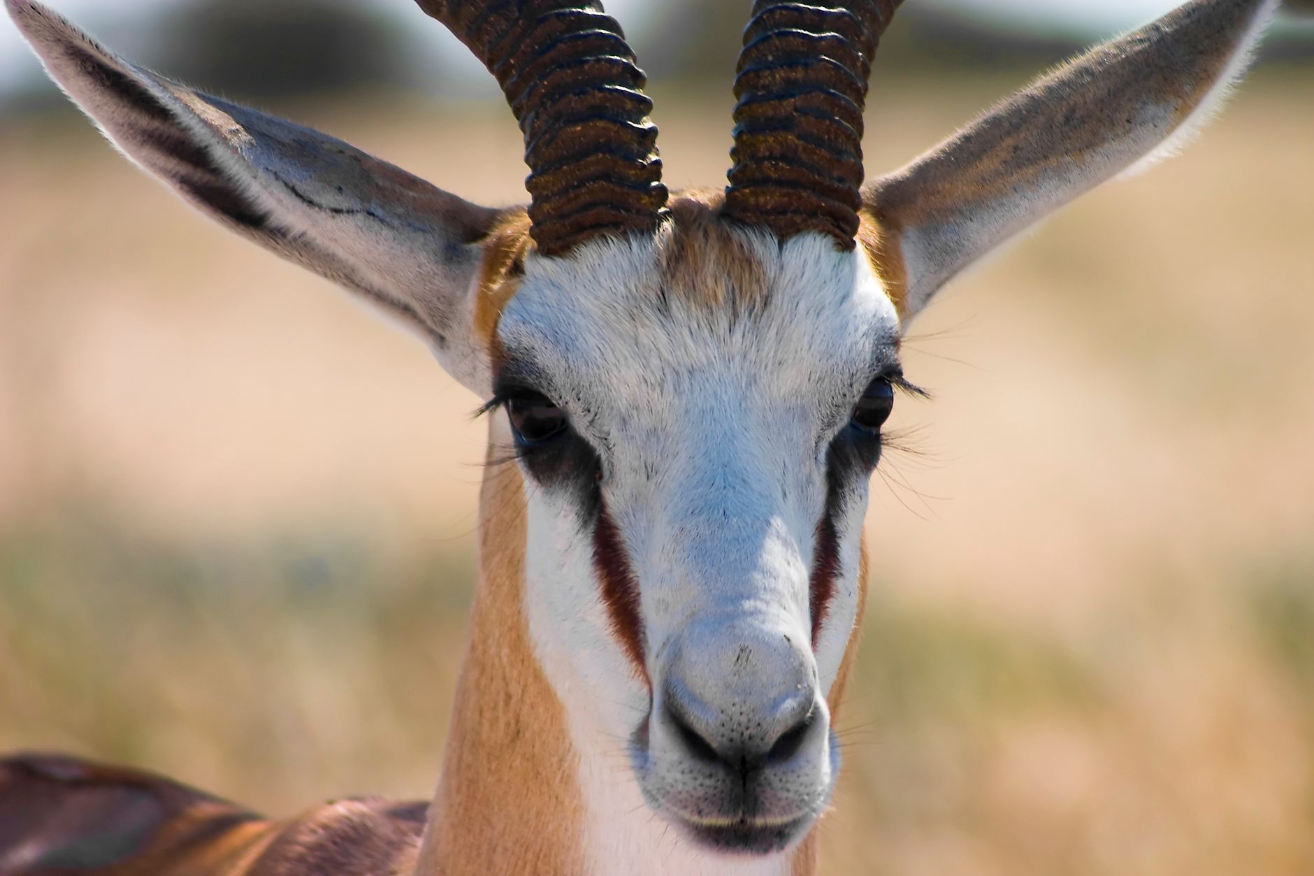
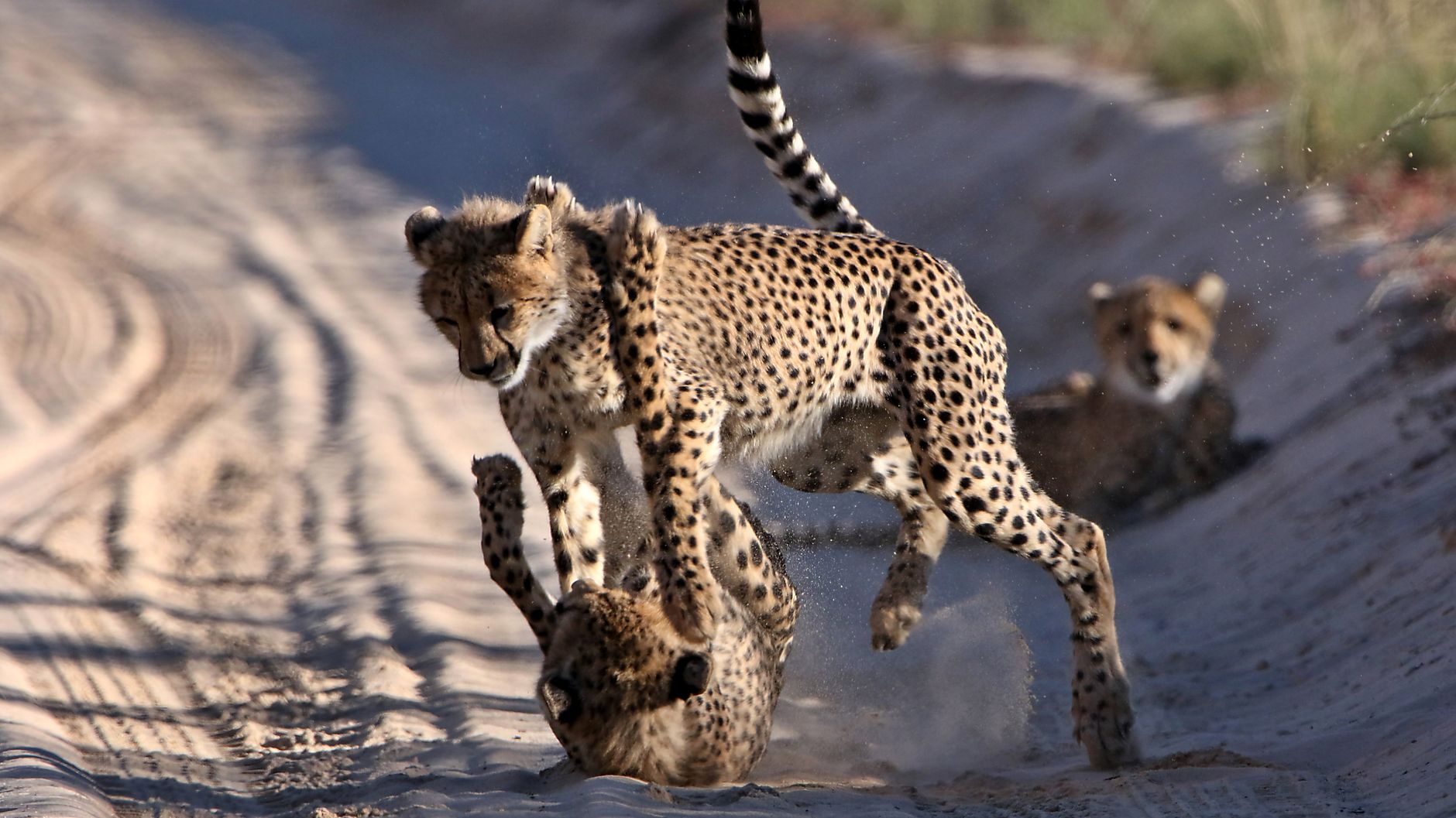
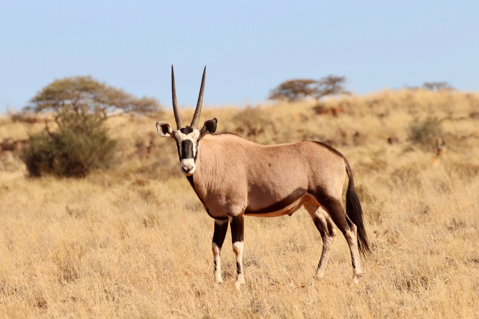
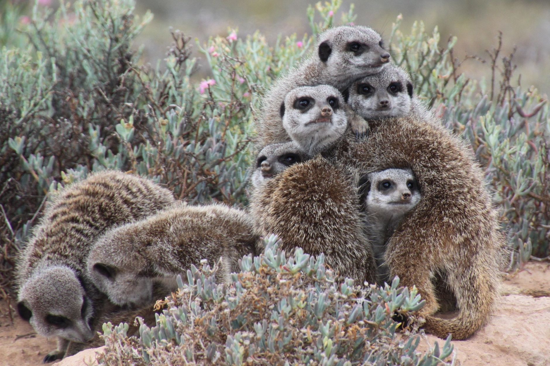
From the air, Deception Valley looks like a river — a trick of blue-clay light that fooled pilots into thinking water was running through the sand. On the ground, you understand the Kalahari differently: a vast, flat, semi-arid interior where fossilized riverbeds meander through acacia scrub, salt pans catch the afternoon glare, and the night sky bears down with a density of stars that makes the land feel small.
At 52,000 square kilometres, the Central Kalahari Game Reserve is one of the largest protected areas on earth, and one of the least visited. Self-drive permits, sandy tracks that turn to mud in the rains, and campsites that book out months ahead — all of it keeps the numbers low and the silence intact.
💛 What travellers fall for
People who come back tend to lock in Kori or Pipers Pan campsites the moment bookings open — sometimes a year out. They bring more Pula cash than they think they'll need, since card readers at the gates are unreliable. And they plan at least one guided walk with local San guides, who read the landscape in ways no map can replicate.
How Central Kalahari Game Reserve came to be
The reserve was established in 1961, but its designation began earlier: in 1958, the Bechuanaland Protectorate government sent anthropologist George Silberbauer to research the San people and find a way to protect both them and the land they had occupied for thousands of years. The result was a reserve conceived, unusually, as much for its human inhabitants as for its wildlife.
That founding intention did not hold. Through the 1990s and into the 2000s, the Botswana government relocated the majority of San residents — a process the High Court ruled in 2006 had been forcible and unconstitutional. By 2005, fewer than 250 people remained as permanent residents. In 2014, a diamond mine opened in the reserve's southeast corner. The land carries all of this history alongside its fossil rivers.
Who and what shaped it
People who shaped it
Landmark buildings
See Central Kalahari Game Reserve in motion
Plan your visit
On the map
When to go
The dry season, April through October, brings the most reliable roads and cooler mornings that can drop to around 8°C, though afternoons still reach the low-to-mid thirties. The wet season, November through March, brings intense short storms, muddy tracks, and the reward of wildlife congregating across the green northern grasslands — Deception Valley in particular fills with animals after good rains.
Right now
Background & history adapted from Wikipedia (CC BY-SA) · specs from Wikidata (CC0) · weather from Open-Meteo · map data © OpenStreetMap contributors · photos from Wikimedia Commons / Unsplash with per-image credit. No third-party reviews or social posts reproduced.