
Cayo Santa María
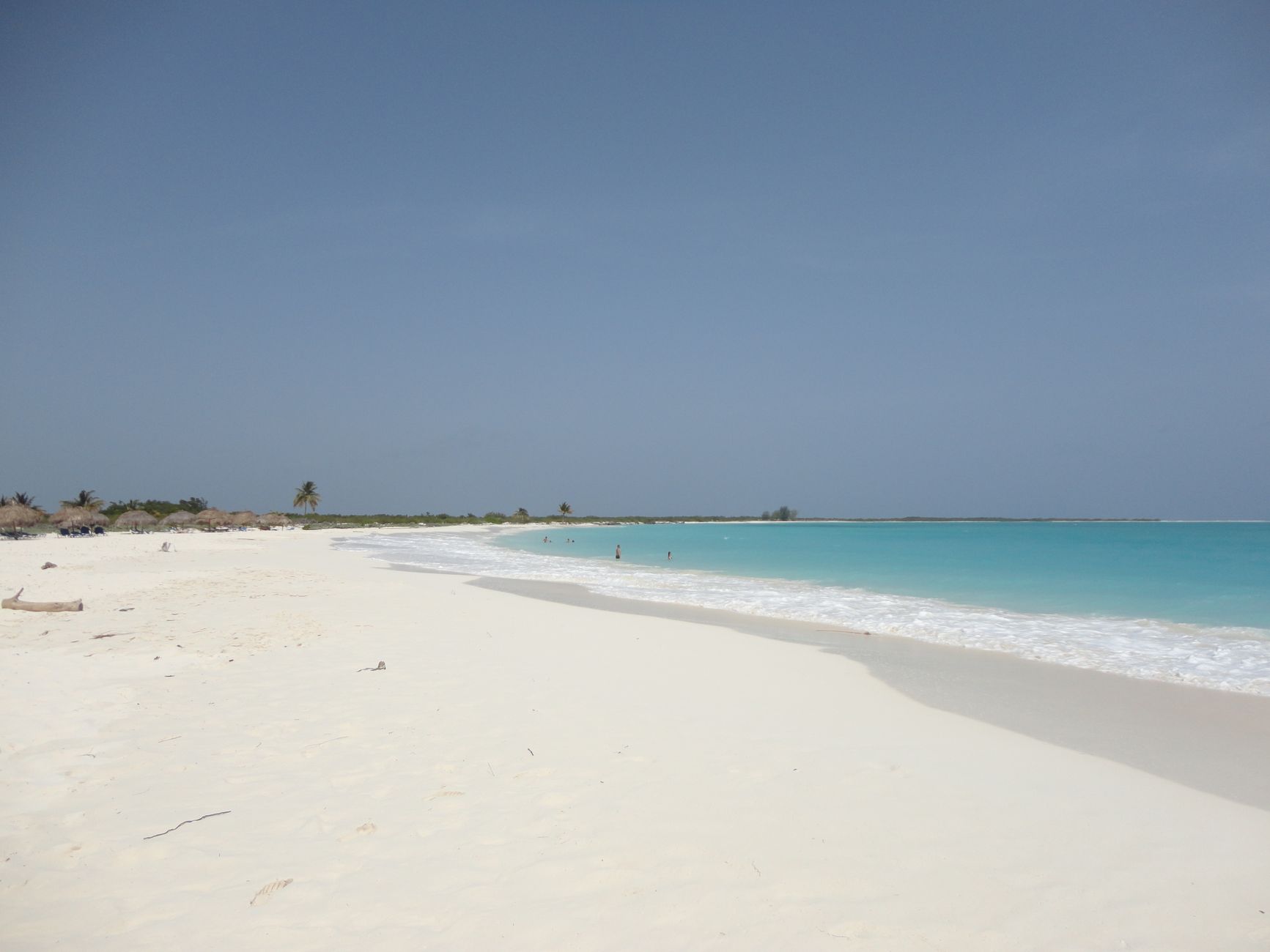
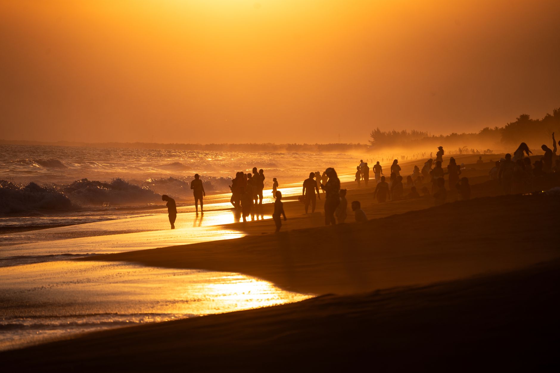
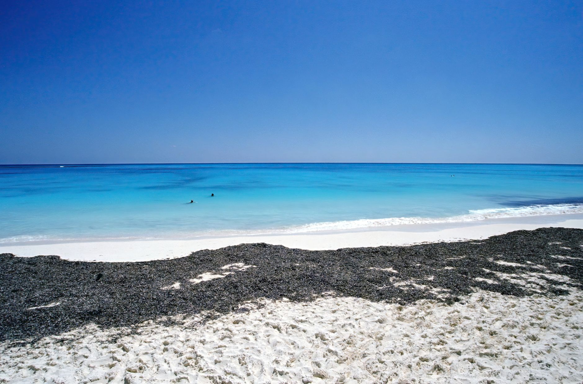
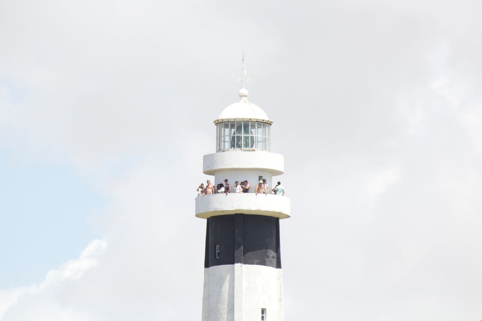
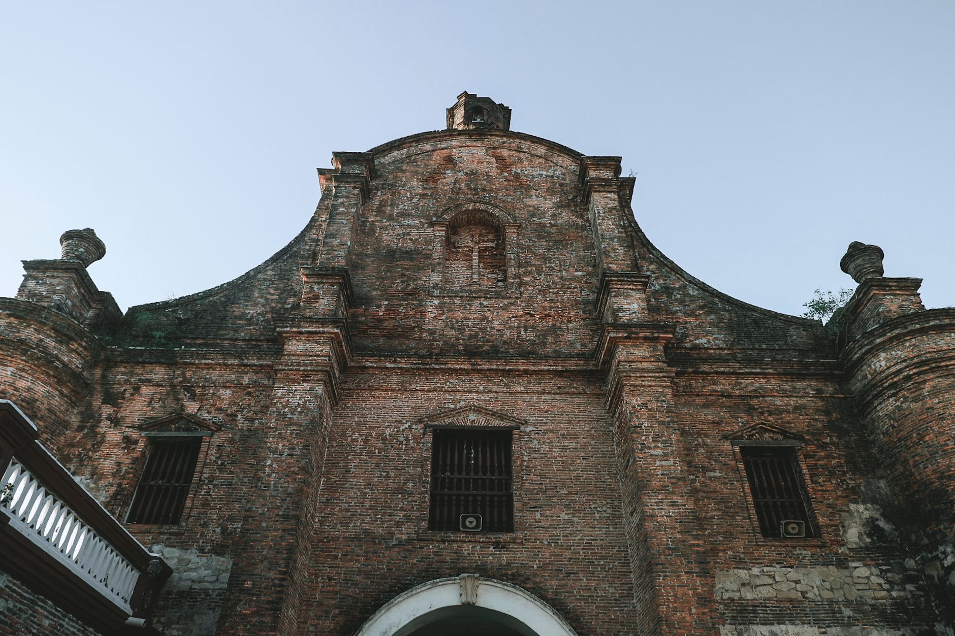
Cayo Santa María sits at the end of a 48-kilometre causeway that stretches north from the town of Caibarién into the Bahía de Buenavista, a slow-motion drive across open water with pelicans riding the guardrails and the cay's pale shore assembling itself on the horizon. The island itself is slender — about 16 kilometres of northern beach backed by all-inclusive hotels, with the southern side given over to mangrove and marsh. There are no permanent residents, no old town, no corner bar. What there is: a long reef-protected shore, water that runs from turquoise to deep green depending on the hour, and a near-total absence of the Cuba that exists on the other side of that causeway.
How Cayo Santa María came to be
The Spanish explorer Diego Velázquez named this chain of cayos the Jardines del Rey — Gardens of the King — around 1513–1514, in honour of Ferdinand of Spain. The islands then largely sat outside the main currents of Cuban history for centuries, their southern marshes making interior access difficult and their northern beaches known mainly to fishermen.
The modern cayo is a product of a single political and economic decision. Construction of the Pedraplén causeway began in 1989 and finished a decade later, its 46 bridge-openings engineered specifically to preserve roughly 90 percent of the original tidal water exchange. Tourism followed the road: Cayo Las Brujas received its first visitors in 1999, the Sol Cayo Santa María opened in December 2001 as the first all-inclusive on the main cay, and Cayo Ensenachos joined the circuit in 2005. The entire resort strip has been built within living memory.
Who and what shaped it
People who shaped it
Landmark buildings
See Cayo Santa María in motion
Plan your visit
On the map
When to go
The dry season runs November through April — the coolest and least rainy stretch, with daytime temperatures around 26–27°C in January and sea temperatures that stay above 25°C year-round. May through October brings heat, higher humidity, and the real possibility of tropical storms; Hurricane Ike in 2008 damaged four of the causeway bridges, a reminder that the season's risk is not purely theoretical.
Right now
Background & history adapted from Wikipedia (CC BY-SA) · specs from Wikidata (CC0) · weather from Open-Meteo · map data © OpenStreetMap contributors · photos from Wikimedia Commons / Unsplash with per-image credit. No third-party reviews or social posts reproduced.