
Cayo District
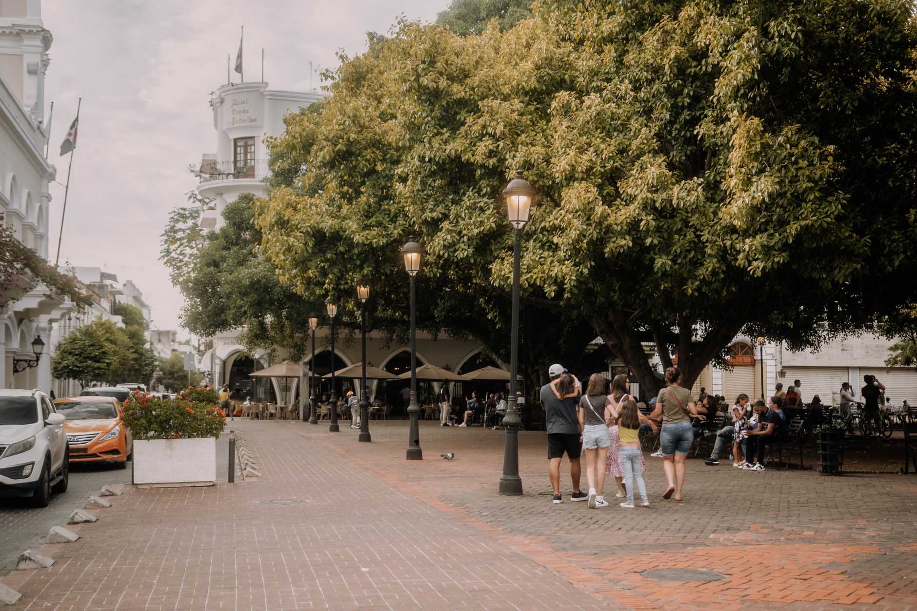
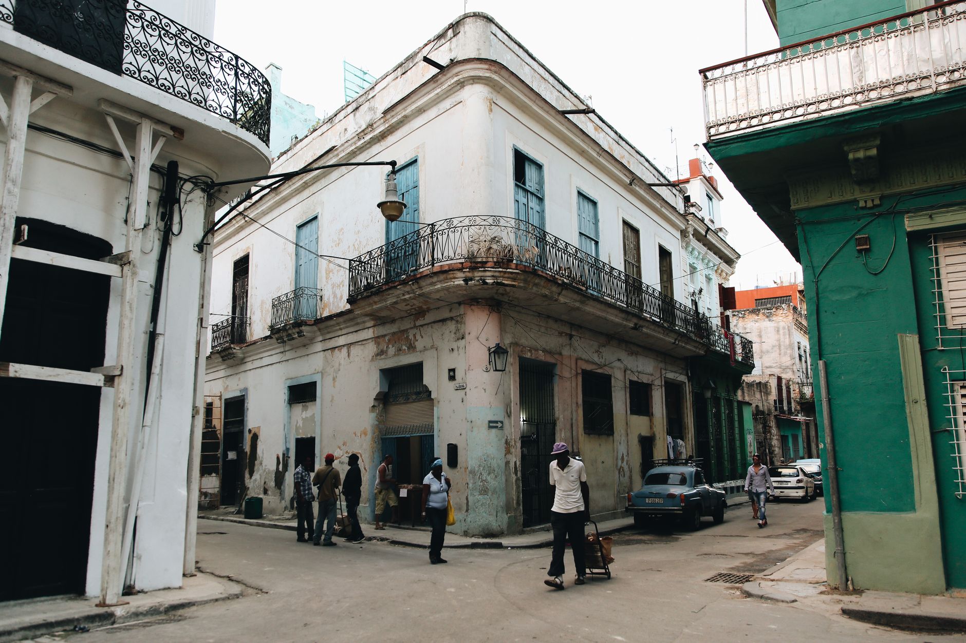
The name came from a colonial secretary's offhand remark. In 1878, Henry Fowler was travelling upriver through what is now western Belize when someone asked where he was headed. "I am going to the Caye," he said — the Spanish word for island — and the district took its name from that. It is a place that has always rewarded the people who push a little further inland.
Cayo is the largest district in Belize and the one most unlike the coast. The jungle here is thick and old. Beneath it, Maya cities the size of modern towns lie half-excavated. The Macal and Mopan rivers cut through limestone hills, and the population — Mestizo, Creole, Mopan Maya, Mennonite, Garifuna — makes the place feel less like a single culture than a slow, ongoing conversation.
How Cayo District came to be
Cayo District was formally established in 1881, though the twin towns of San Ignacio and Santa Elena had been taking shape since the 1860s. A Jesuit priest, Andrew Bavastro, visited the settlement in 1868 and counted around 150 residents; he agreed to build a chapel and named the place San Ignacio Village. Benque Viejo del Carmen, further west, grew from 19th-century migration from Guatemala and northern Belize. The district's boundaries were not formally drawn until 1960.
The infrastructure came slowly. The Hawksworth Bridge — still the only drivable suspension bridge in Belize — went up in 1949, linking San Ignacio to Santa Elena across the Macal River. The Western Highway was paved only in the 1980s. Before that, and long before any road, the Maya were here: Caracol, buried under jungle until chicleros stumbled on it in 1936, once held as many as 120,000 people across 25,000 acres.
Who and what shaped it
People who shaped it
Landmark buildings
See Cayo District in motion
Plan your visit
On the map
When to go
Cayo is the coolest part of Belize — in the Mountain Pine Ridge the temperature can drop below 10°C on winter nights, while April and May push daytime highs toward 35°C. The dry season runs December through May, which is when travel is easiest; the rainy season peaks in September, though brief afternoon downpours are possible any time from June onward.
Right now
Background & history adapted from Wikipedia (CC BY-SA) · specs from Wikidata (CC0) · weather from Open-Meteo · map data © OpenStreetMap contributors · photos from Wikimedia Commons / Unsplash with per-image credit. No third-party reviews or social posts reproduced.