
Caye Caulker
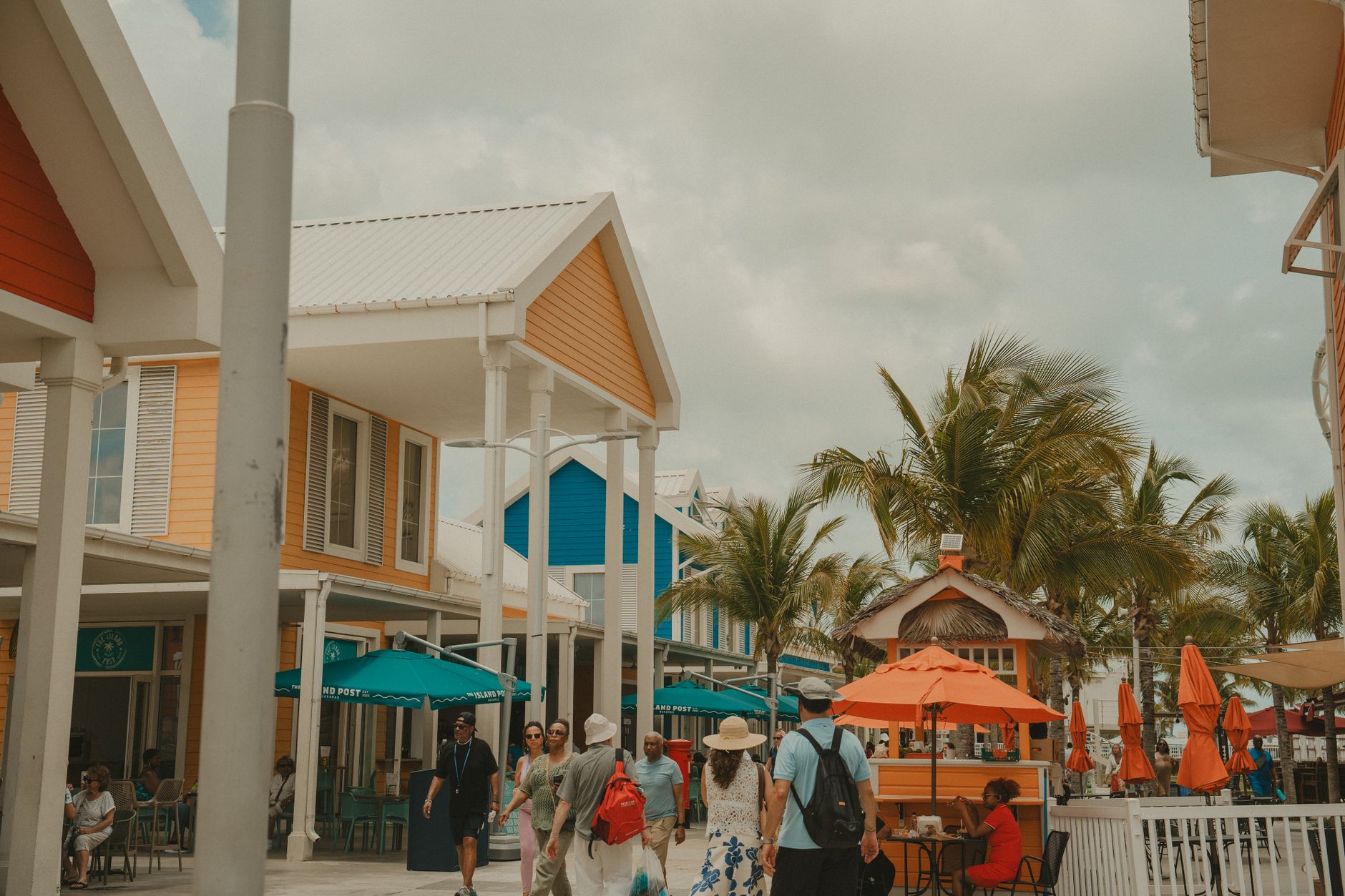

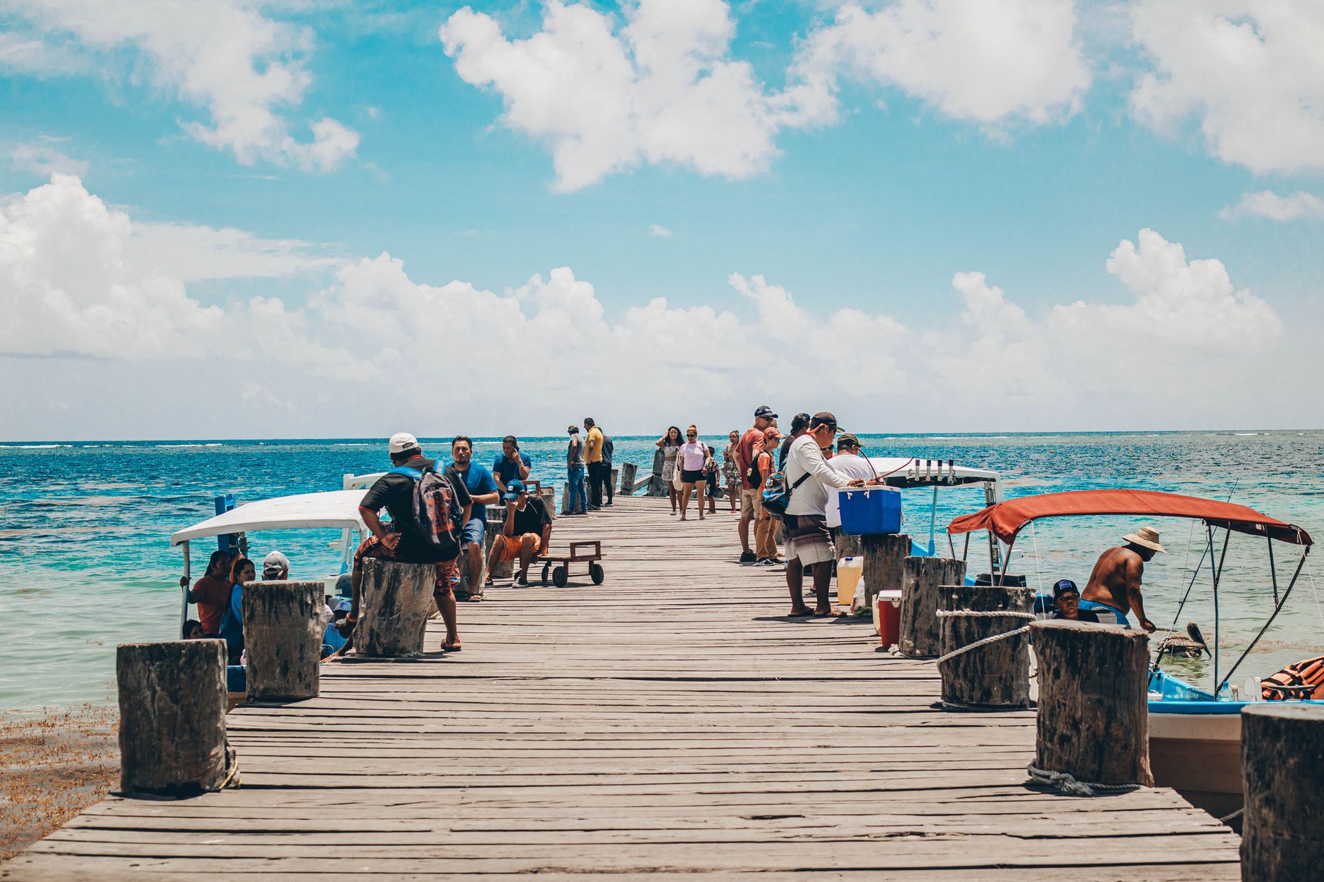
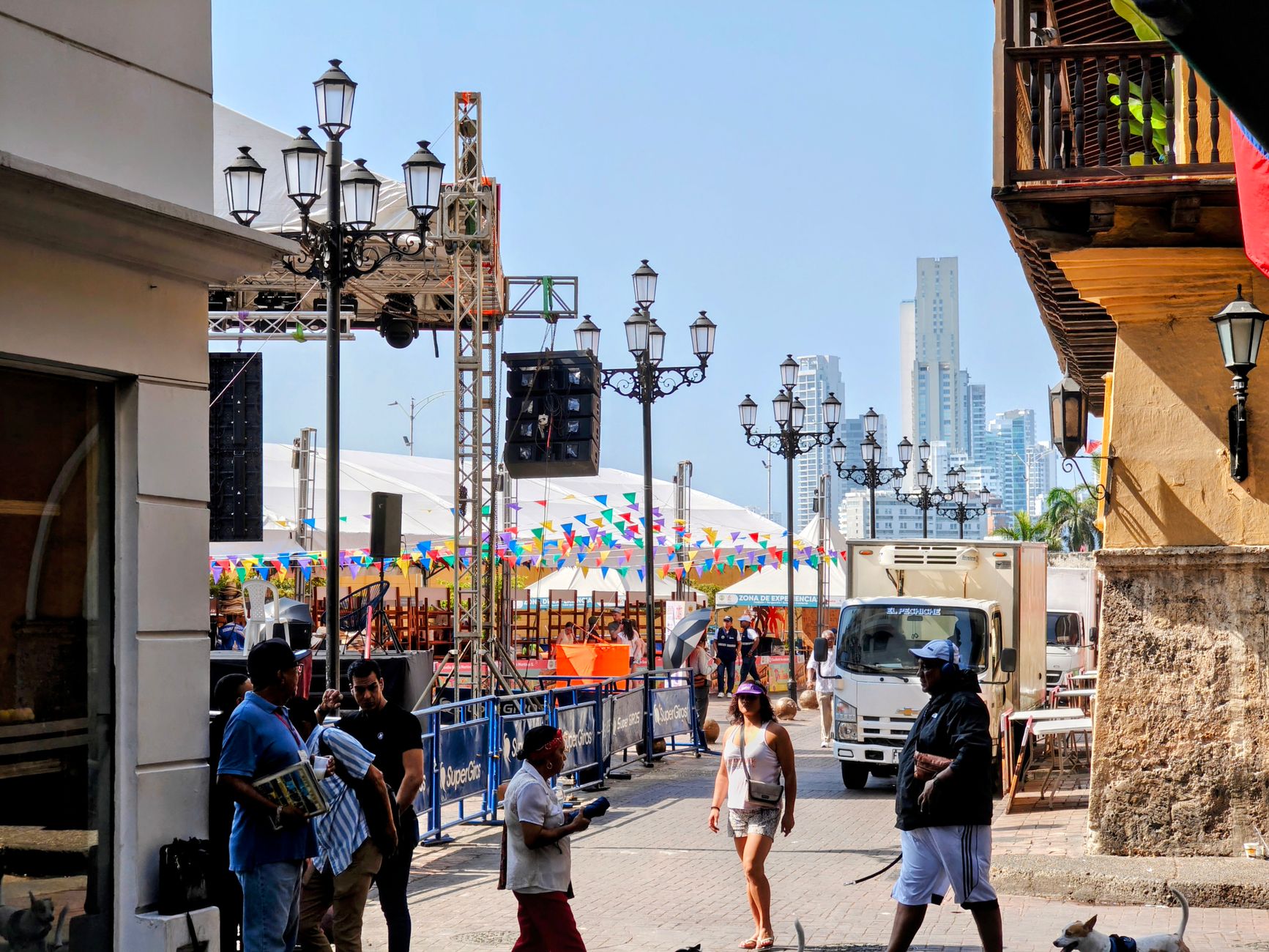
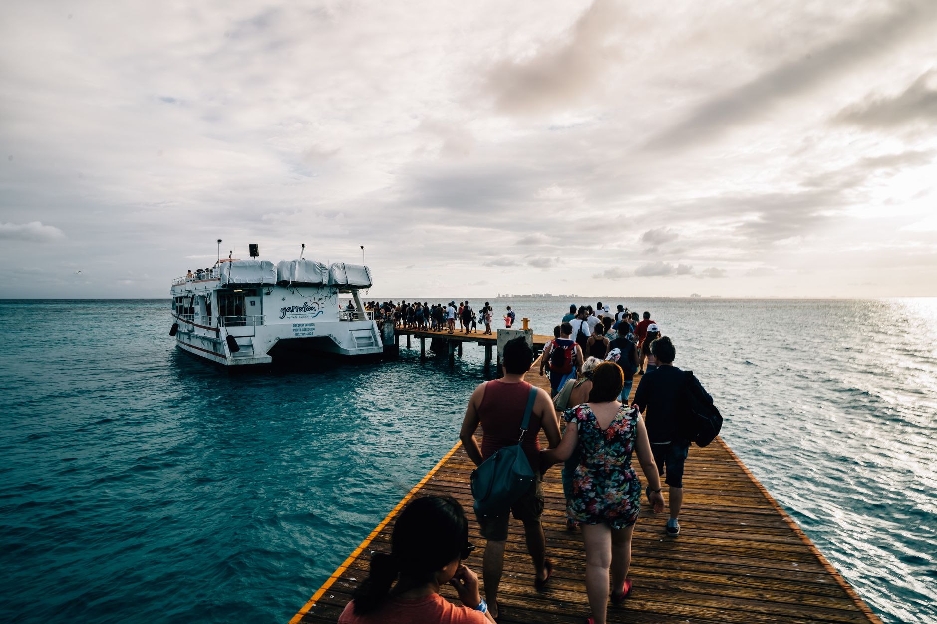
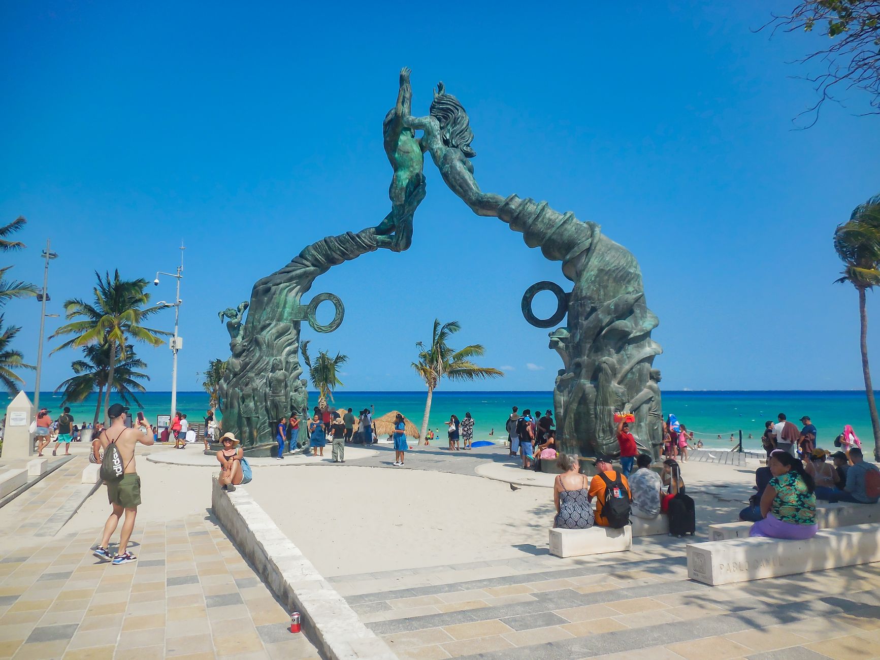
Caye Caulker runs about five kilometres of sand and mangrove, split in two by a channel the fishermen dredged by hand in the early 1970s so they could reach the fuel depot faster. That channel — everyone calls it the Split — is now the social centre of the island, a concrete ledge where you dangle your feet over turquoise water and watch pelicans work the current. Cars are banned. The streets are sand. Buildings stop at two or three storeys so the sea stays visible from almost everywhere.
This is a small place with a clear rhythm: mornings on the water, afternoons slow, evenings unhurried. The Caye Caulker Marine Reserve wraps 61 square miles of reef around the island's eastern edge, and the Swallow Caye Wildlife Sanctuary — created partly through one man's decades of campaigning — protects manatee habitat about 19 miles southwest.
Experiences you don't want to miss


How Caye Caulker came to be
The island's permanent community traces to 1847, when Mestizo families fleeing the Caste War of Yucatán came ashore and settled. In 1870, a man named Luciano Reyes purchased the land rights for US$150 and distributed plots among those founding families — several of whose surnames are still on Caye Caulker's doors today.
Hurricane Hattie tore through in 1961, destroying or severely damaging all but eight of the island's eighty homes and killing thirteen people. Tourism began quietly in 1964, and the diving trade opened up properly in the 1970s when Jim and Peggy Beveridge founded Belize Diving Services and began mapping the underwater caves offshore. Lionel 'Chocolate' Heredia spent much of his life pushing for manatee protection, and in 2002 the Swallow Caye Wildlife Sanctuary was formally declared.
Who and what shaped it
People who shaped it
Landmark buildings
See Caye Caulker in motion
Plan your visit
On the map
When to go
The dry season runs roughly February through May — reliably sunny, with a near-constant easterly breeze off the Caribbean that keeps the heat manageable. June through November brings higher humidity and the possibility of tropical storms; September and October are the most active months, and the island sits well within the hurricane belt.
Right now
Background & history adapted from Wikipedia (CC BY-SA) · specs from Wikidata (CC0) · weather from Open-Meteo · map data © OpenStreetMap contributors · photos from Wikimedia Commons / Unsplash with per-image credit. No third-party reviews or social posts reproduced.