City

Cau Giay District

Cau Giay District
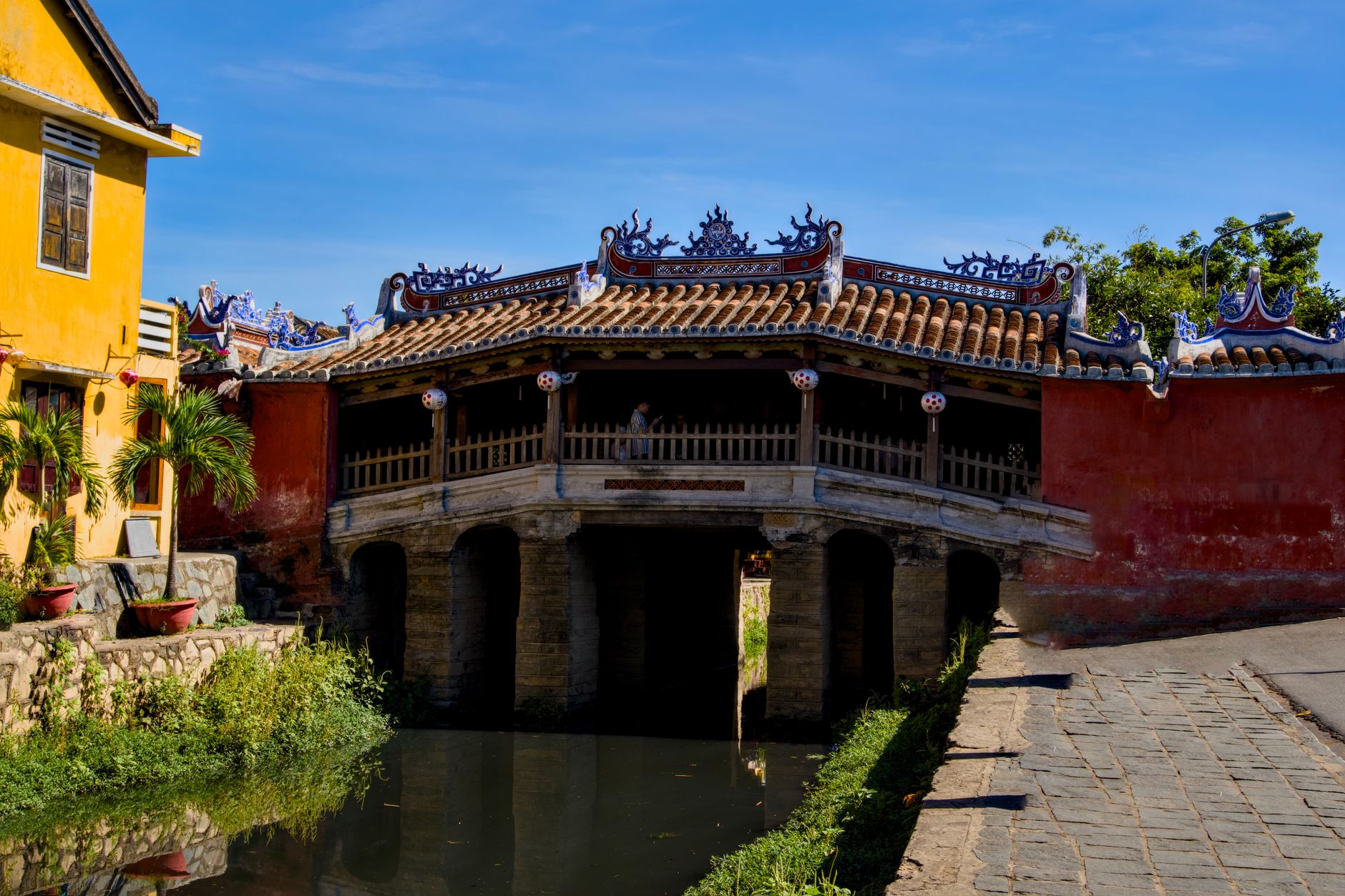
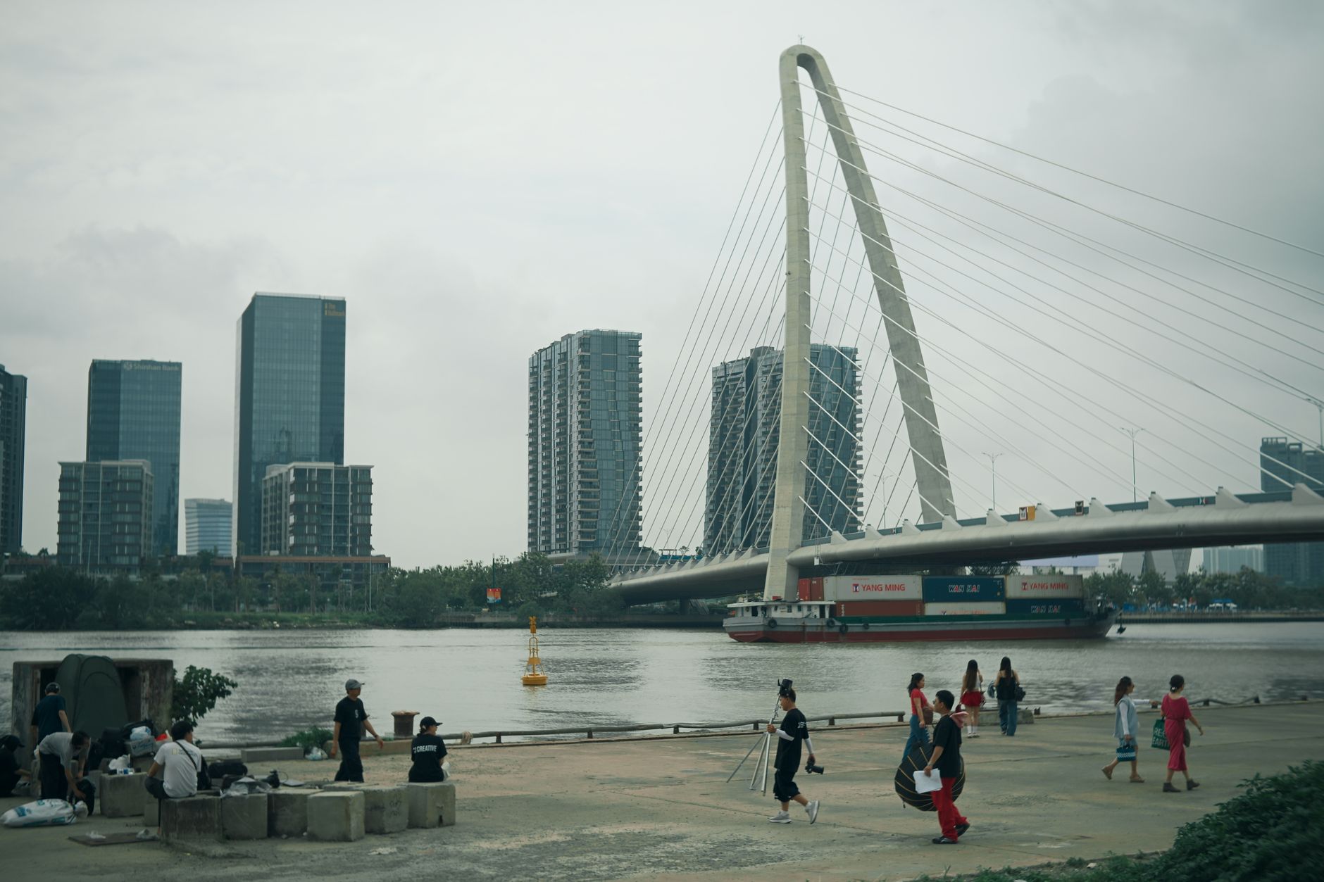
Photo by Tuan Vy on Pexels
Cau Giay District
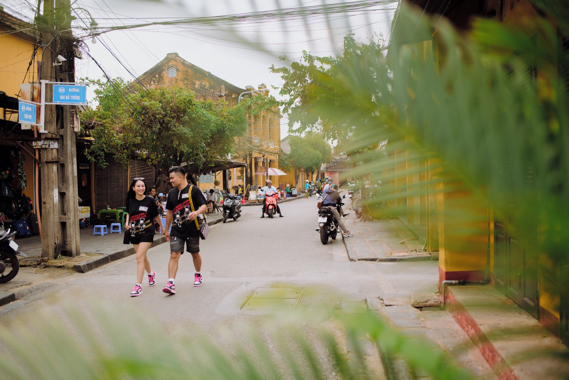
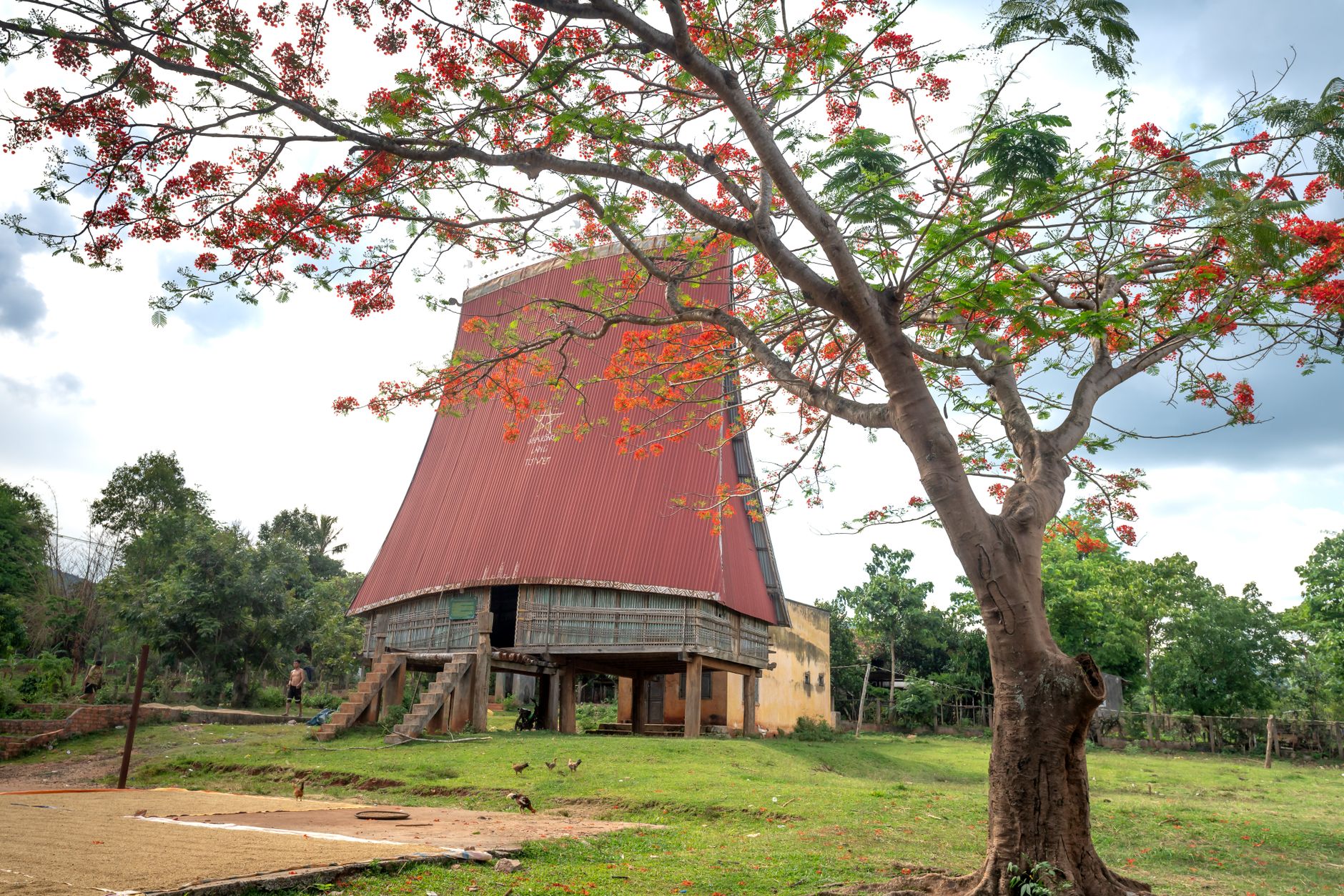
Photo by Tuan Vy on Pexels
Cau Giay District
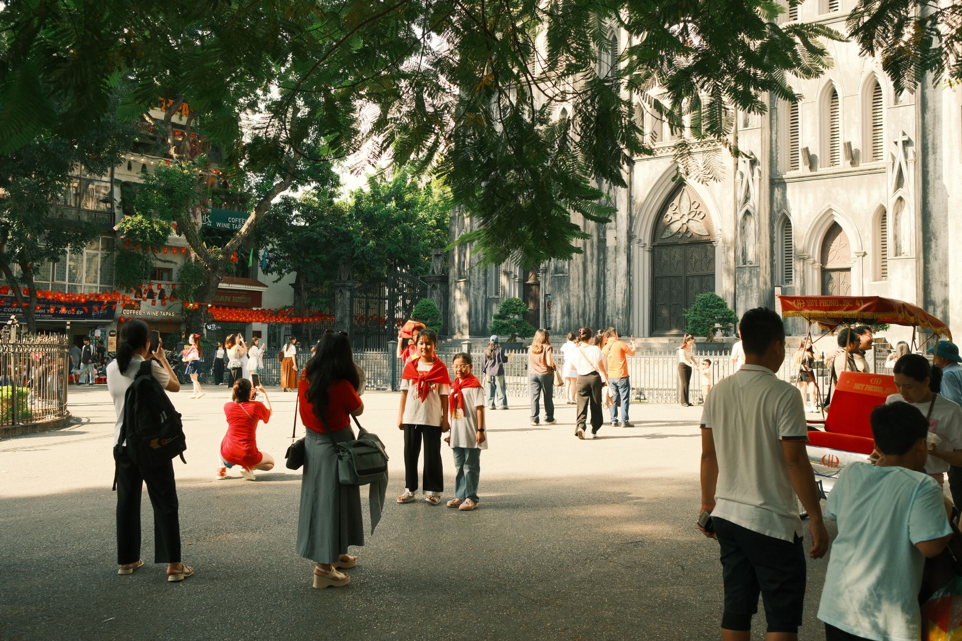
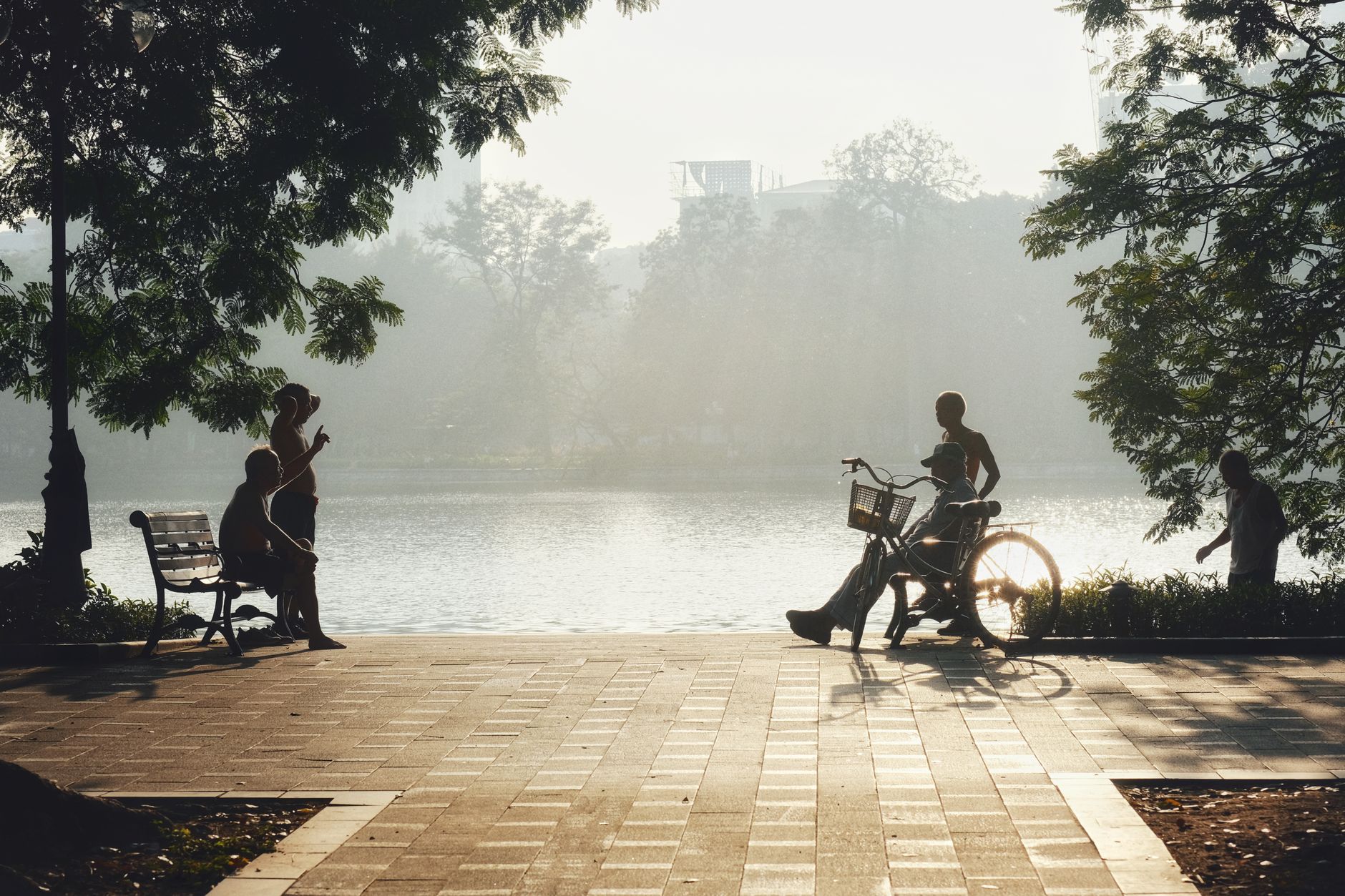
Photo by Trần Long on Pexels
Cau Giay District
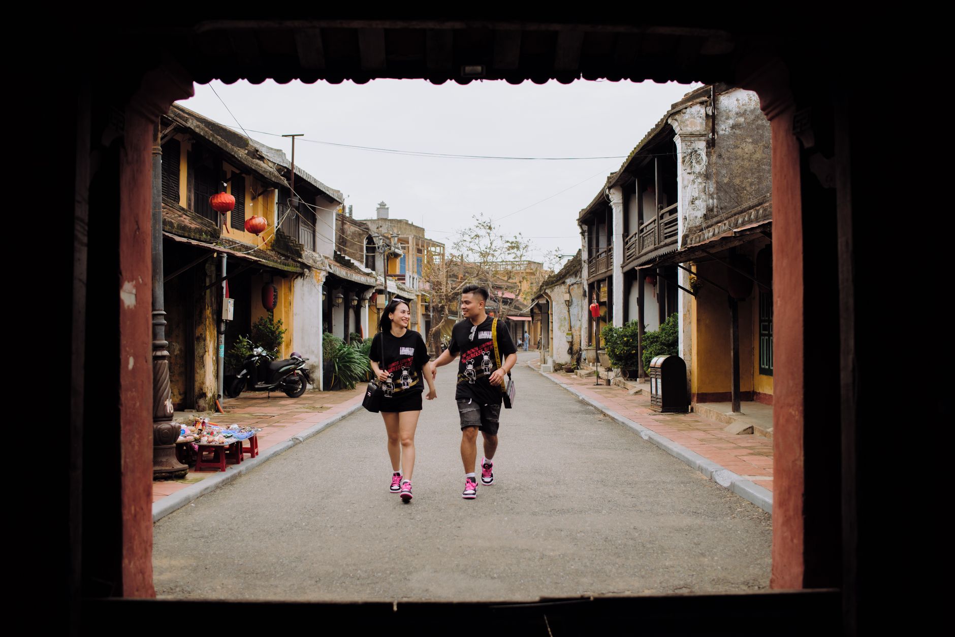
Photo by Thuan Pham on Pexels
Cau Giay District
Photo by Trần Long on Pexels
Cau Giay District
Photo by 🇻🇳🇻🇳 Việt Anh Nguyễn 🇻🇳🇻🇳 on Pexels

The name means Paper Bridge, after a small crossing over the Tô Lịch River that once served villages whose entire economy ran on making paper — raw sheets for everyday use, ceremonial do paper, and the stiff giấy sắc phong used to record the king's appointments of titles. Those villages are now absorbed into a district of roughly 300,000 people, high-rises, and a Korean expat quarter, but the old geography hasn't entirely dissolved. Cốm Vòng, the cluster of Dịch Vọng villages, still produces cốm — young green sticky rice flakes — and the Ha Pagoda has been standing since the sixth century.

Cầu Giấy occupies Hanoi's western flank and reads as the city's most legible experiment in rapid urbanization: craft-village lanes running into convention-center plazas, a metro line that only opened in August 2024, and sidewalks so reliably occupied by parked motorbikes that walking sometimes means stepping into the road.

💛 What travellers fall for

People who keep coming back tend to time a morning around the Vietnam Museum of Ethnology, which rewards a slow circuit, then walk south toward Dịch Vọng Hậu in autumn to find cốm sold from flat baskets lined with lotus leaves. The Nhà Xanh market near the National University is worth a look for the sheer spectacle of it, not for shopping.

Good to know
Metro Line 3 (opened August 2024) connects Cầu Giấy to central Hanoi for VND 8,000–12,000 per trip; a monthly pass costs VND 200,000. Bus Route 07 from the Cầu Giấy interchange serves Nội Bài Airport. Come in September–November or February–April for cool, dry days. Air pollution can be significant — check readings before long outdoor stretches.

Deals in Cau Giay District

Book directly at the provider
The story

How Cau Giay District came to be

The district as an administrative unit is young: it was formally carved out of Từ Liêm on 22 November 1996, absorbing four towns and three communes, with the reorganization taking effect 1 September 1997. Its name, though, carries much older weight. The Paper Bridge over the Tô Lịch gave the area its identity because of what happened on both sides of it — villages that had divided the craft of papermaking into distinct specializations, each making a different grade for a different purpose, from common household sheets to the formal documents of imperial governance.

Urbanization accelerated sharply through the 2000s. By the 2020s the district had effectively exhausted its buildable land. Then, on 19 April 2025, Cầu Giấy District was officially dissolved and reorganized into three new wards — Cầu Giấy 1, 2, and 3 — a reminder that in Hanoi, administrative boundaries are never quite finished.

People & landmarks

Who and what shaped it

Landmark buildings

Ha Pagoda
Built in 6th century; standing landmark in the district.
Vietnam Museum of Ethnology
Major museum located in Cầu Giấy district.
Kaengnam Hanoi Landmark Tower
High-rise development in the district.
Vietnam National Convention Center
Convention facility in Cầu Giấy district.
Hanoi National University of Education
Founded 1951; located in the district.
Ho Chi Minh National Academy of Politics
Founded 1949; located in the district.
Dịch Vọng villages (Cốm Vòng)
Historic cluster still producing cốm (young green sticky rice flakes).
Indochina Plaza Hanoi
Commercial development in the district.
Watch

See Cau Giay District in motion

Practical

Plan your visit

On the map

When to go

Spring (February–April) and autumn (September–November) bring cool temperatures, light sun, and little rain — the most straightforward time to be outdoors here. Summers are hot and wet; winters are cold by Vietnamese standards and grey, though rarely severe.

Right now

28°C
Partly cloudy
Sat
⛈️
34°
28°
Sun
⛈️
32°
27°
Mon
⛈️
30°
27°
Tue
⛈️
32°
27°
Weather data: Open-Meteo

Background & history adapted from Wikipedia (CC BY-SA) · specs from Wikidata (CC0) · weather from Open-Meteo · map data © OpenStreetMap contributors · photos from Wikimedia Commons / Unsplash with per-image credit. No third-party reviews or social posts reproduced.

Top