
Cardamom Mountains

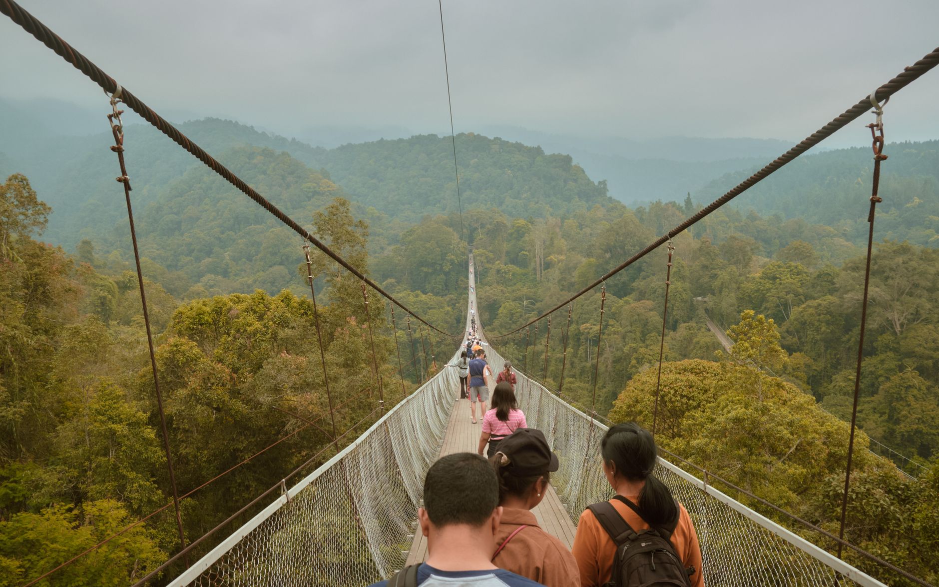
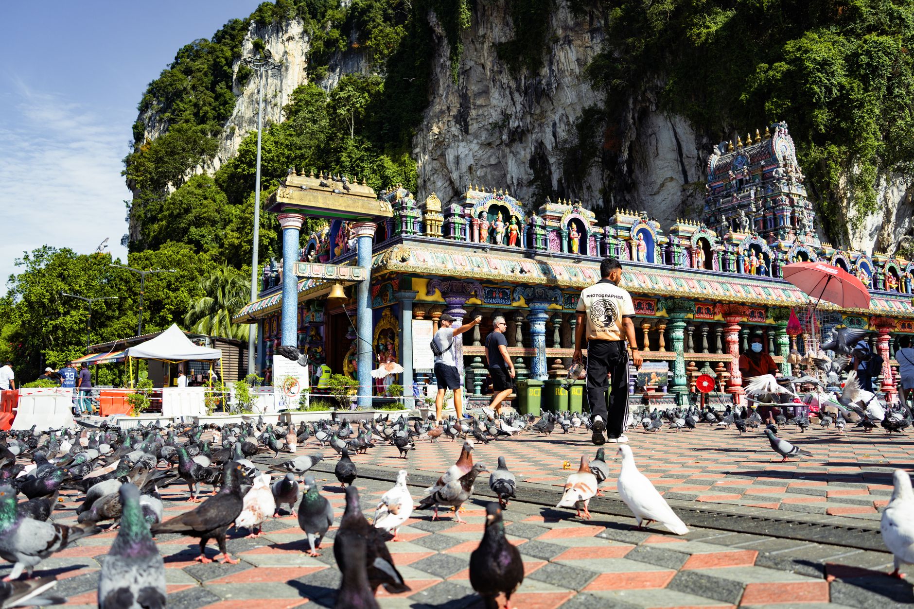
The Cardamom Mountains hold the largest intact rainforest in Southeast Asia outside of Borneo, and the numbers that matter most here are ecological: somewhere between 3,800 and 5,000 millimetres of rain fall on the western slopes each year, feeding rivers that carve through limestone and old-growth canopy alike. This is a place where the forest still wins.
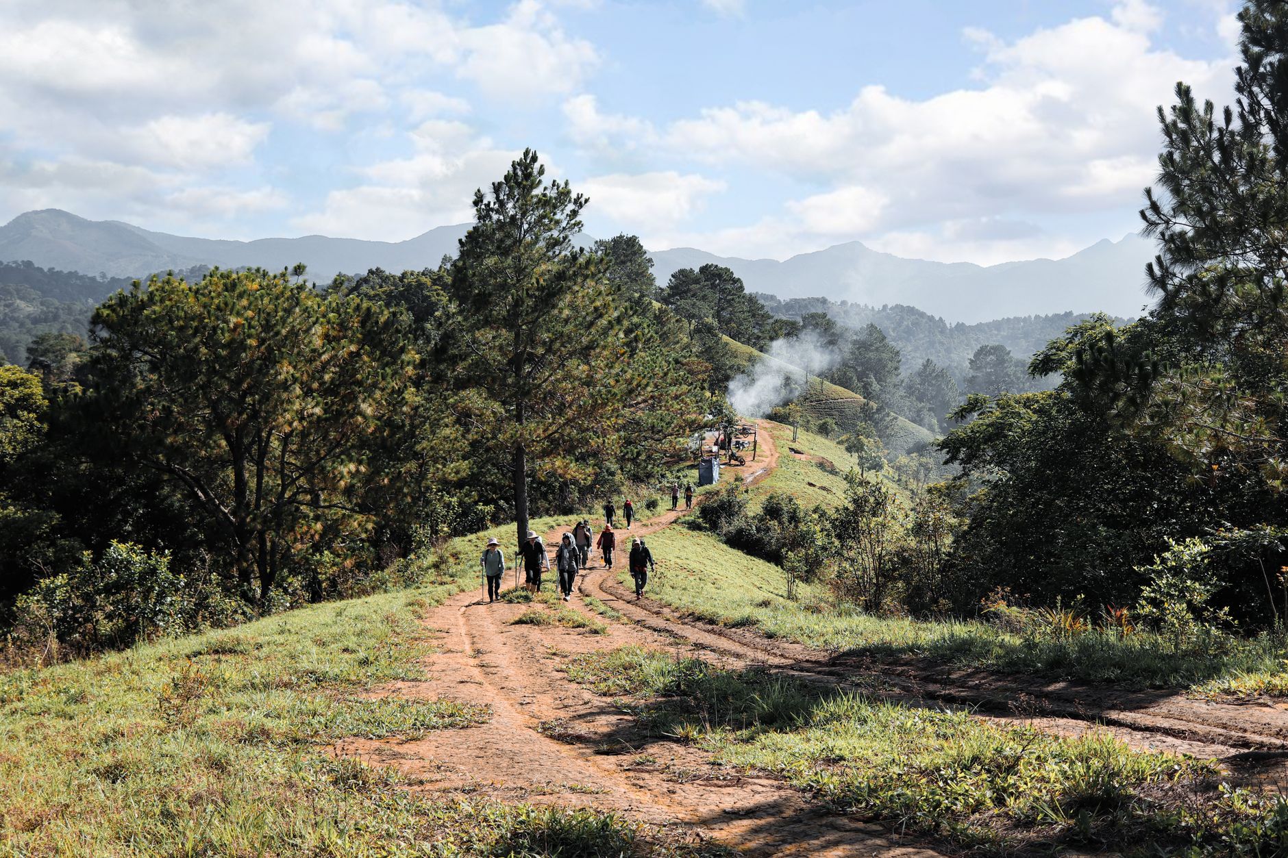
Access points are the small towns — Koh Kong on the coast, Pursat to the northeast, the river settlement of Chi Phat — and from any of them the interior opens quickly into something genuinely remote. Trails lead past two-tiered waterfalls, jar burial sites on mossy rock ledges, and cave walls painted in red ochre by hands working more than a thousand years ago.
💛 What travellers fall for
People who come back tend to anchor at Chi Phat and change their plans mid-trip — a half-day bike ride becomes a two-night trek when a local guide mentions a burial site further upriver. Book accommodation before you arrive; options are limited and fill fast. Bring only cash: there are no ATMs anywhere in the mountains.
How Cardamom Mountains came to be
Rock paintings at the Kanam site in Pursat province place people in these mountains as early as the 1st century AD — red ochre figures of elephants, deer, and riders pressed onto cave walls, suggesting communities whose lives were bound up with elephant capture and training. Centuries later, jar burial sites appeared on remote rock ledges across the range, ceramic vessels and log coffins linked by archaeologists to Cambodian royalty and the maritime trade networks of the 15th to 17th centuries.
The mountains' density made them a refuge in darker times too. After the fall of the Khmer Rouge in 1979, fighters retreated deep into the forest and held out until 1994. Conservation came gradually: Wildlife Alliance helped establish Southern Cardamom National Park, gazetted in 2016, and launched a community ecotourism program in Chi Phat in 2008 that now draws around 3,000 visitors a year and returns over USD 150,000 directly to the village.
Who and what shaped it
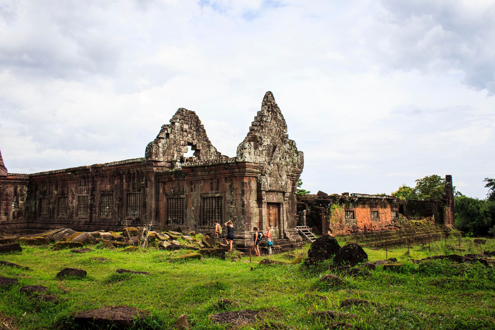
Landmark buildings
See Cardamom Mountains in motion
Plan your visit
On the map
When to go
The dry season, November through April, is when trails are passable and rivers calm — December and January are the clearest months. The wet season, May to October, brings the heaviest rainfall in Cambodia; the western slopes can receive close to five metres of rain in a year, and many routes become impassable by July.
Right now
Background & history adapted from Wikipedia (CC BY-SA) · specs from Wikidata (CC0) · weather from Open-Meteo · map data © OpenStreetMap contributors · photos from Wikimedia Commons / Unsplash with per-image credit. No third-party reviews or social posts reproduced.