
Caracol Archaeological Site
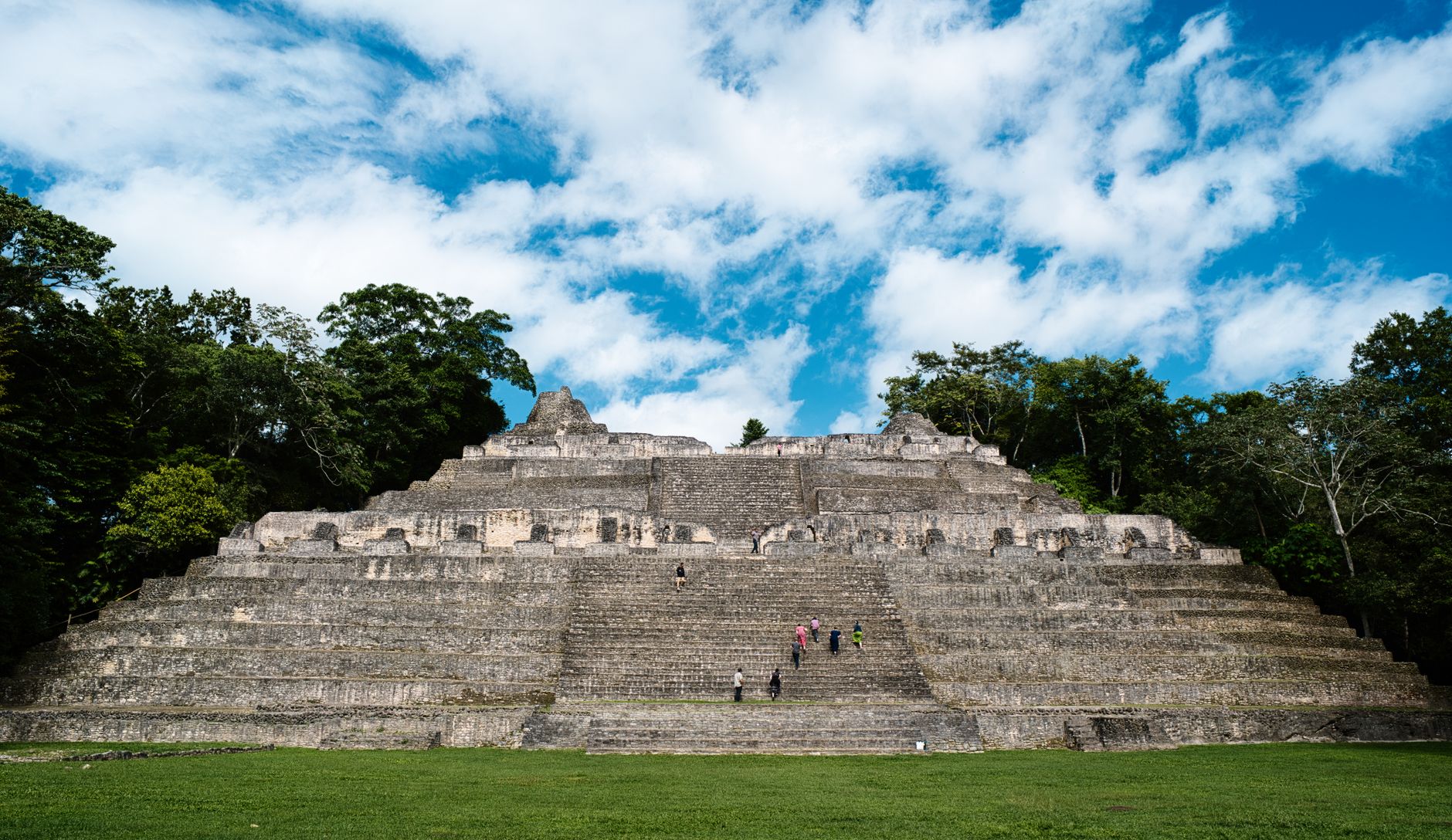
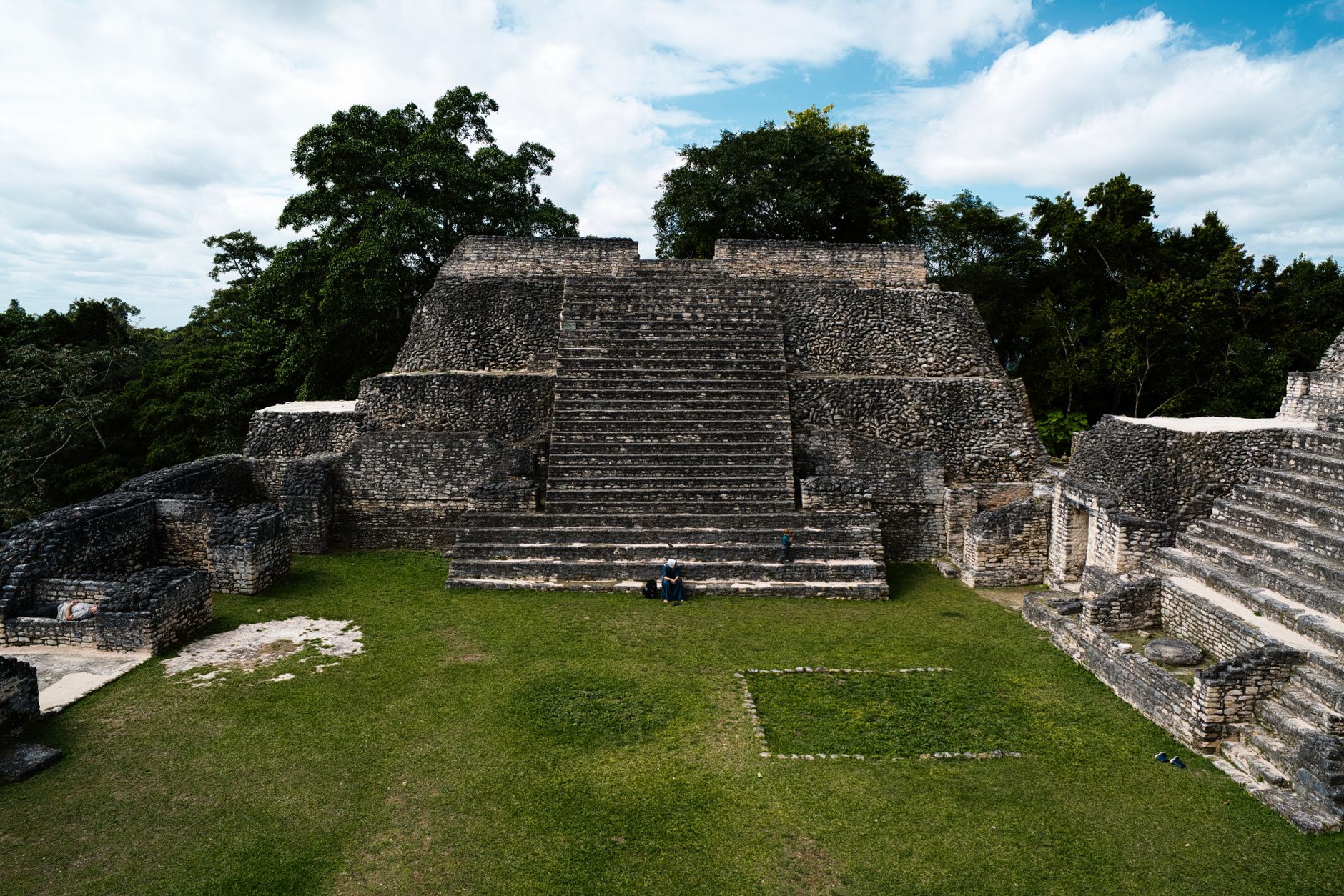
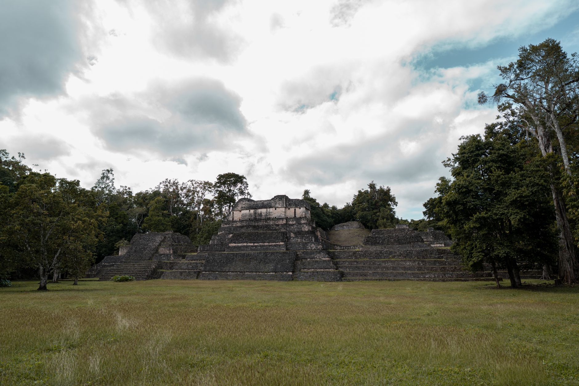
At the top of Caana — the Sky Palace — you are standing on the tallest man-made structure in Belize, a 43-metre pyramid that a city of tens of thousands once looked up at. Caracol, known to its own people as Uxwitza', or Three Water Hill, covers a footprint so large that archaeologists have mapped over 35,000 buildings across a 10-kilometre radius. Most of it is still inside the jungle.
Getting here takes effort: an unpaved road through the Chiquibul Forest, a 4×4, and the better part of two hours from San Ignacio. That friction is part of the deal. The site closes at 2:30 PM, and a military escort accompanies visitors — context worth knowing before you plan the day.
How Caracol Archaeological Site came to be
A logger named Rosa Mai first reported the site in 1937 while searching for mahogany. Archaeological Commissioner A. Hamilton Anderson visited the following year and gave it the Spanish name it carries today. Serious excavation didn't begin until 1985, when Diane Chase and Arlen Chase of the University of Central Florida started the work that continues under Belize's own Institute of Archaeology.
Caracol had been a regional power since around 600 BC. In AD 562, under the ruler Yajaw Te' K'inich II, it defeated Tikal — then the dominant Maya city — and went on to conquer Naranjo in 631. By AD 650 its urban area stretched 10 kilometres from the centre. The last recorded date on any stela is AD 859; Caana itself was abandoned around AD 900.
Who and what shaped it
People who shaped it
Landmark buildings
See Caracol Archaeological Site in motion
Plan your visit
On the map
When to go
The site sits at 500 metres in the foothills of the Maya Mountains, which takes the edge off the lowland heat, but the jungle still runs warm and humid for most of the year. December through May is the dry season and the easier time to travel the unpaved road in; April and May are the warmest and driest months of all.
Right now
Background & history adapted from Wikipedia (CC BY-SA) · specs from Wikidata (CC0) · weather from Open-Meteo · map data © OpenStreetMap contributors · photos from Wikimedia Commons / Unsplash with per-image credit. No third-party reviews or social posts reproduced.