
Caracol
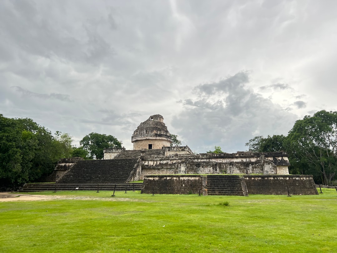
At 43 metres, Caana — the Sky Palace — is still the tallest man-made structure in Belize, and it was built over a thousand years ago. Caracol sits on the Vaca Plateau at 500 metres, deep in the Maya Mountains, covering roughly 200 square kilometres of jungle that has swallowed all but the largest of its 35,000 documented buildings. The site sees perhaps a few dozen visitors on any given day, which means you may climb a royal tomb in something close to silence.
This was once a city that defeated Tikal. Its sacbeob — raised white stone causeways — radiated outward like spokes from the five central plazas, connecting a population that, at its height, may have outnumbered modern Belize City. Getting here takes effort, and that effort is exactly the point.
💛 What travellers fall for
People who make the trip more than once tend to book a guide in San Ignacio rather than hoping to find one at the gate — there are none. They also arrive with the first convoy, around 8 AM, before the heat peaks and before the few other visitors trickle in. The Rio On Pools stop on the way back is worth keeping on the itinerary.
How Caracol came to be
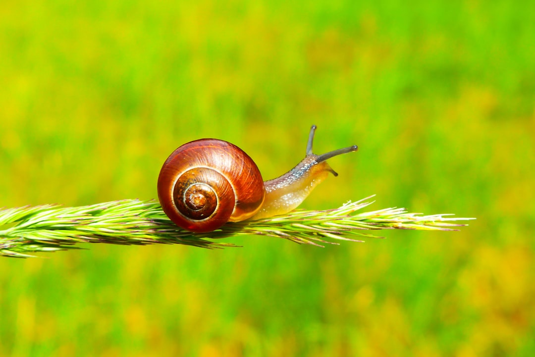
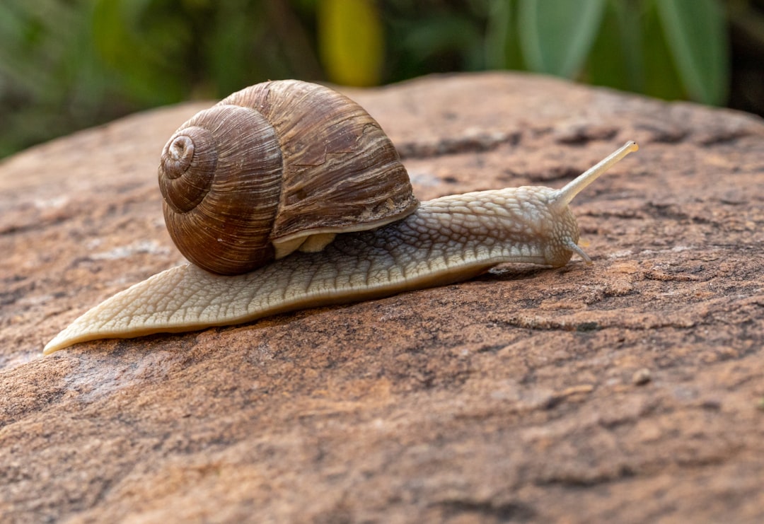
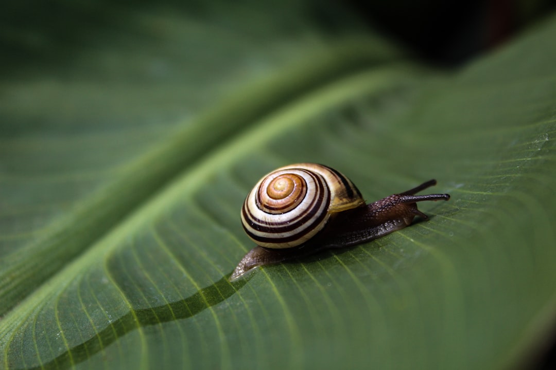
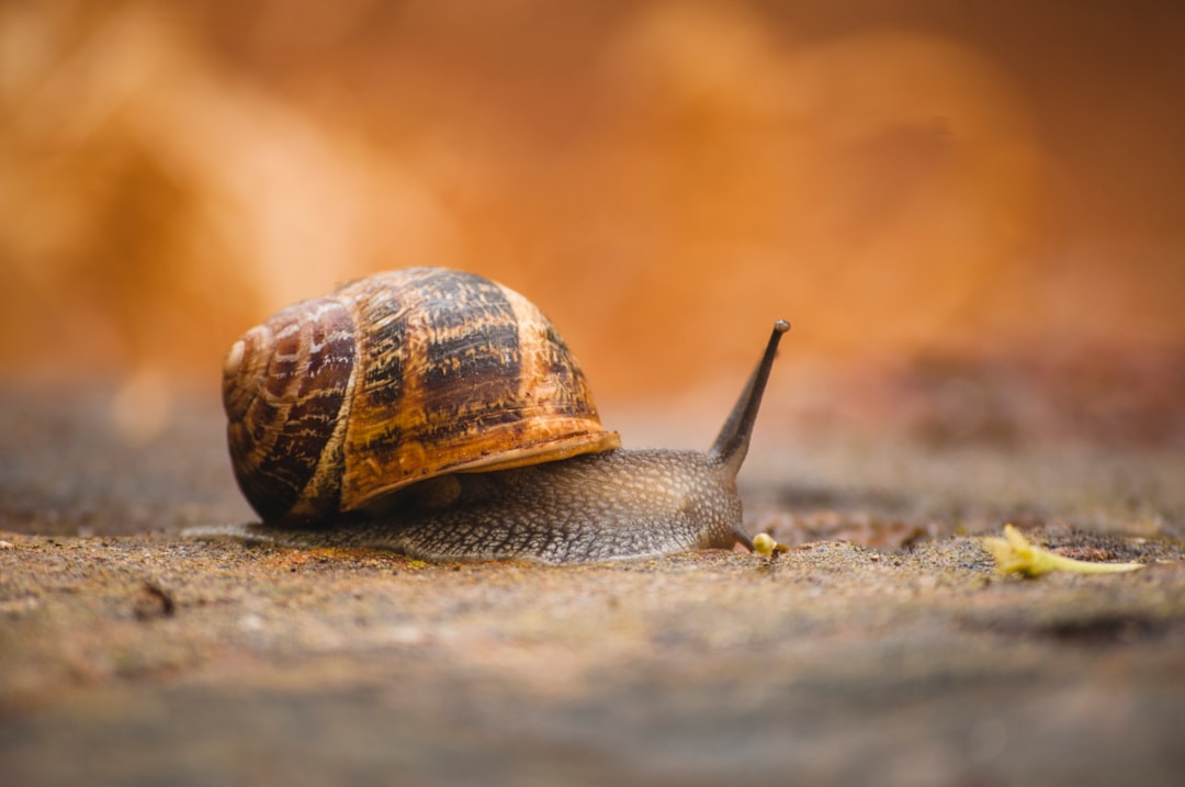
A logger named Rosa Mai stumbled onto the ruins in 1937. The following year, Archaeological Commissioner A. Hamilton Anderson visited and gave the site its modern name — caracol, Spanish for snail, after the winding road in. The Maya had called it Uxwitza', Three Water Hill, and first settled the area around 1200 BC.
Caracol's defining moment came in 562 CE, when its ruler Lord Water captured and sacrificed Tikal's king Double Bird, tilting the balance of Classic Maya power. Under Kan II, who ruled from 618 to 658 CE, the city reached its greatest extent. Caana was rebuilt and expanded during this period. The last recorded monument dates to May 28, 884 CE; by the mid-11th century the city had been abandoned. Systematic modern excavation began in 1985 under archaeologists Diane Chase and Arlen Chase, and continues today — as recently as 2025, the tomb of Caracol's first known ruler, Te' K'ab Chaak, was excavated.
Who and what shaped it
People who shaped it
Landmark buildings
See Caracol in motion
Plan your visit
On the map
When to go
The dry season, roughly February through May, gives the most reliable road conditions and manageable heat at elevation. From June onward, rains can turn the unpaved sections treacherous and the jungle closes in quickly — beautiful, but plan accordingly.
Right now
Background & history adapted from Wikipedia (CC BY-SA) · specs from Wikidata (CC0) · weather from Open-Meteo · map data © OpenStreetMap contributors · photos from Wikimedia Commons / Unsplash with per-image credit. No third-party reviews or social posts reproduced.