
Region

Cappadocia

Cappadocia
Photo by Mehmet Turgut Kirkgoz on Pexels
Cappadocia
Photo by Mehmet Turgut Kirkgoz on Pexels
Cappadocia
Photo by Ayşe Betül Toy on Pexels
Cappadocia
Photo by Kadir Avşar on Pexels
Cappadocia
Photo by Jake Zhang on Pexels
Cappadocia
Photo by Alan Wang on Pexels
Culture & history Nature & outdoors Adventure & active

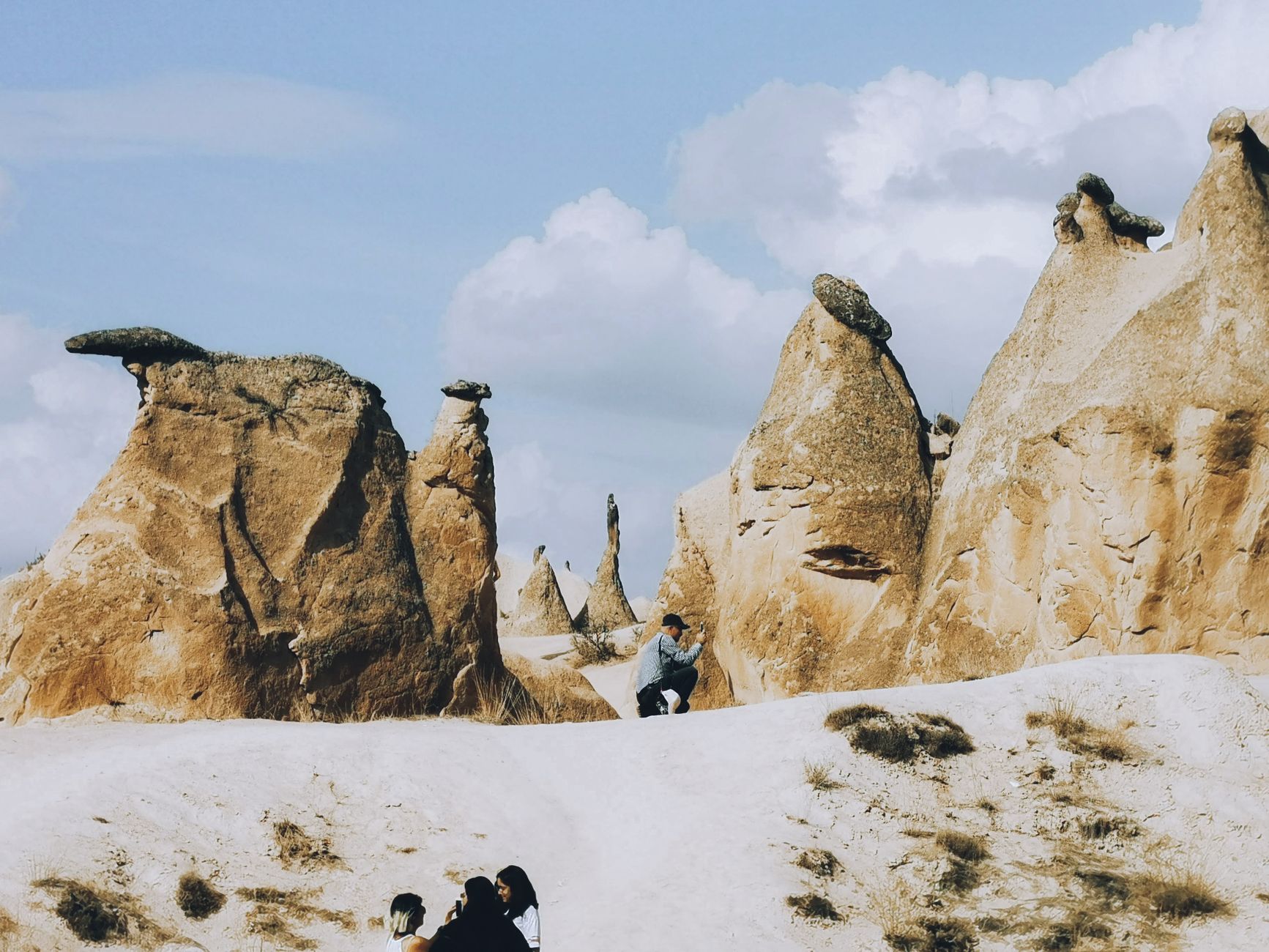
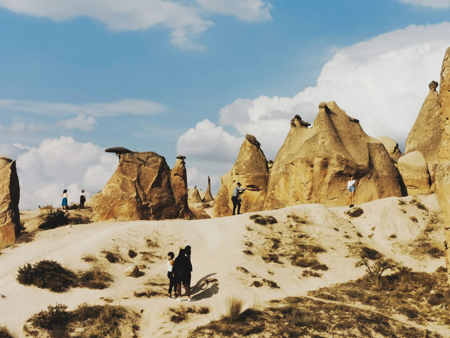
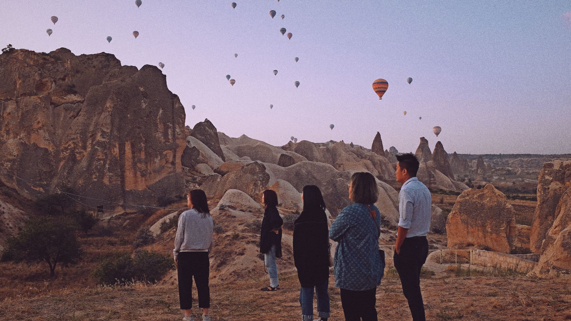
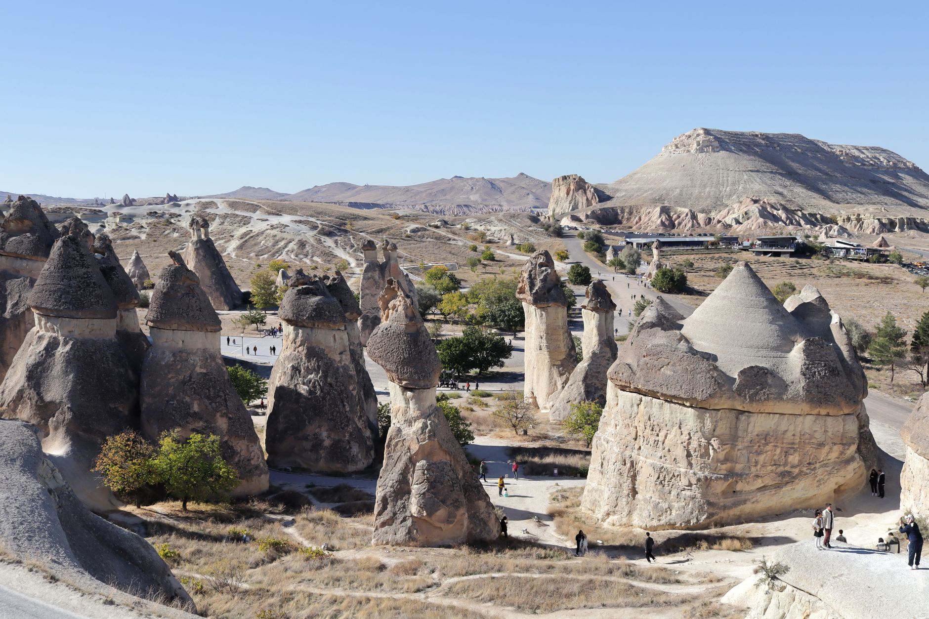
The landscape of Cappadocia looks like something a geologist and a fever dream produced together: columns of volcanic tufa worn into towers, cones, and mushroom caps rising from valleys the colour of dried apricot. People have been cutting rooms into these formations since the Bronze Age, and the region still holds that layered quality — cave churches with ninth-century frescoes, underground cities that descend eight floors into the earth, towns where the castle is literally a rock.

The region centres loosely on Göreme and the surrounding valleys, with Nevşehir as the administrative hub. Two or three days gets you through the headline sites; a slower week lets you find the quieter ones.

Good to know
Fly into Nevşehir Kapadokya (NAV) — about 40 minutes out — or Kayseri (ASR), roughly 70 minutes away. Spring (April–June) and autumn (September–October) are the sweet spots: bearable temperatures and thinner crowds. Local buses between Göreme, Avanos and Ürgüp run hourly until around 8 PM; after that, options are limited.
The story

How Cappadocia came to be

Hittites settled this plateau around 1800 BCE, and excavations at Kültepe have uncovered traces of the even earlier Hittite-Assyrian city of Kanesh. The Persians arrived in the sixth century BCE — Emperor Darius I recorded the region as Katpatuka in trilingual inscriptions — and Cappadocia later became a Roman province in 17 AD.

Christianity took deep root here. The Cappadocian Fathers — Basil the Great, Gregory of Nazianzus, and Gregory of Nyssa — shaped early Christian theology from this ground, and the monastic communities they inspired carved churches and cells into the rock for a thousand years. Seljuk Turks consolidated control by the early twelfth century, and in the early eighteenth century the grand vizier Nevşehirli Damat İbrahim Pasha, a local, founded Nevşehir as the regional capital. Cappadocia remained Ottoman until Turkey's founding in 1922.

People & landmarks

Who and what shaped it

People who shaped it

Basil the Great
Bishop of Caesarea (329–379 AD); inspired monastic communities throughout Cappadocia for over a thousand years.
Gregory of Nazianzus
Cappadocian Father who shaped early Christian theology and monastic life in the region.
Gregory of Nyssa
Cappadocian Father instrumental in establishing Christian theological foundations in Cappadocia.
Nevşehirli Damat İbrahim Pasha
Grand vizier and local native who founded Nevşehir as regional capital in the early 18th century.
Haci Bektas Veli
13th-century Iranian philosopher and Sufi mystic; founder of the Bektasi order, with pilgrimage center at Hacibektas.

Landmark buildings

Göreme Open-Air Museum
UNESCO World Heritage Site (1985) containing 30+ rock-carved churches and chapels with frescoes from 9th–11th centuries.
Dark Church (Karanlık Kilise)
Rock-carved church within Göreme complex notable for vivid, well-preserved frescoes from early Christian period.
Derinkuyu Underground City
Multi-level underground settlement reaching depths of 85+ meters with eight levels of rooms, tunnels, and passageways.
Kaymakli Underground City
Major underground city among the most visited sites in Cappadocia.
Uçhisar Castle
One of three main castles in Cappadocia, carved from natural rock formation.
Ortahisar Castle
Built 1258; town-center castle serving as symbol of Ortahisar town.
Ihlara Valley
100-meter-deep gorge in southwest Cappadocia; formerly housed 4,000+ dwellings and 100 cave churches with frescoes.
Zelve Open Air Museum
One of largest cave-dwelling communities in region; began as monastery in 9th century AD.
Paşabağ Valley
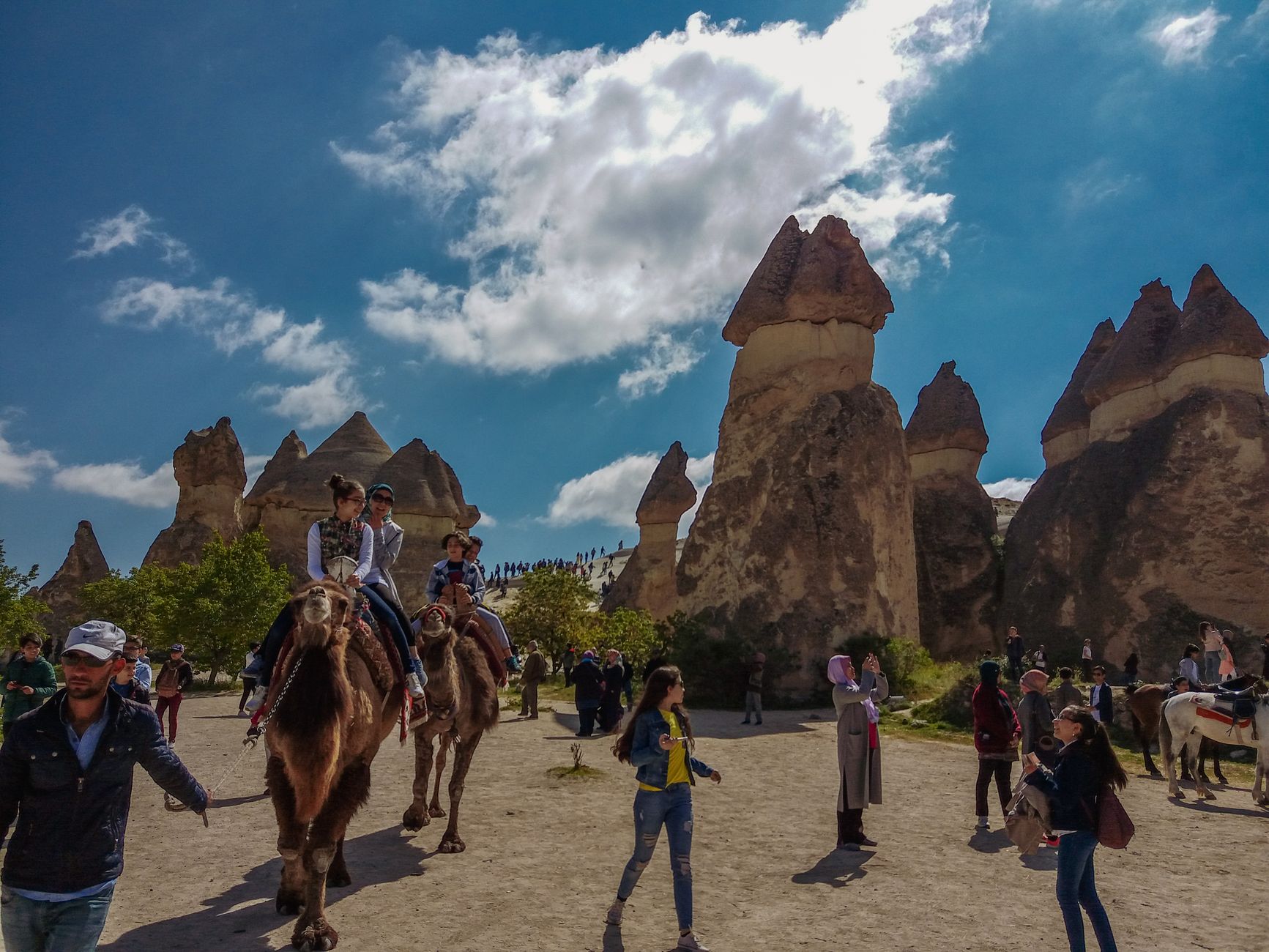
Valley famous for mushroom-shaped rock formations known as 'fairy chimneys'.
Watch

See Cappadocia in motion

Practical

Plan your visit

On the map

When to go

Summers are hot and dry, with temperatures pushing above 30°C in July and August; winters bring genuine cold and occasional snow, which turns the rock formations into something else entirely. April through June and September through October offer the most comfortable conditions for walking the valleys.

Right now

☀️
18°C
Clear
Sat
28°
15°
Sun
30°
17°
Mon
32°
18°
Tue
32°
21°
Weather data: Open-Meteo

Background & history adapted from Wikipedia (CC BY-SA) · specs from Wikidata (CC0) · weather from Open-Meteo · map data © OpenStreetMap contributors · photos from Wikimedia Commons / Unsplash with per-image credit. No third-party reviews or social posts reproduced.

Top