
Camagüey
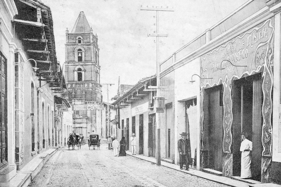
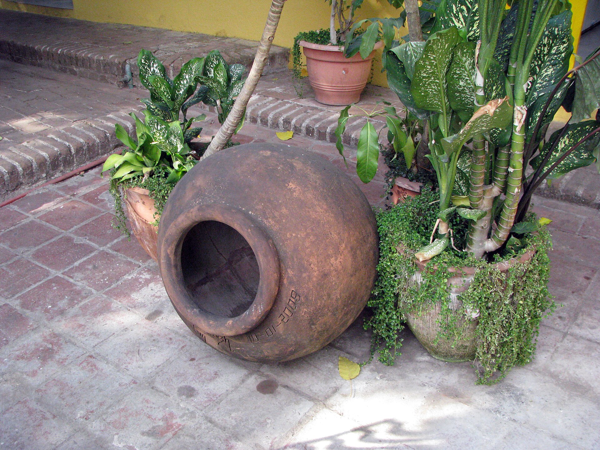
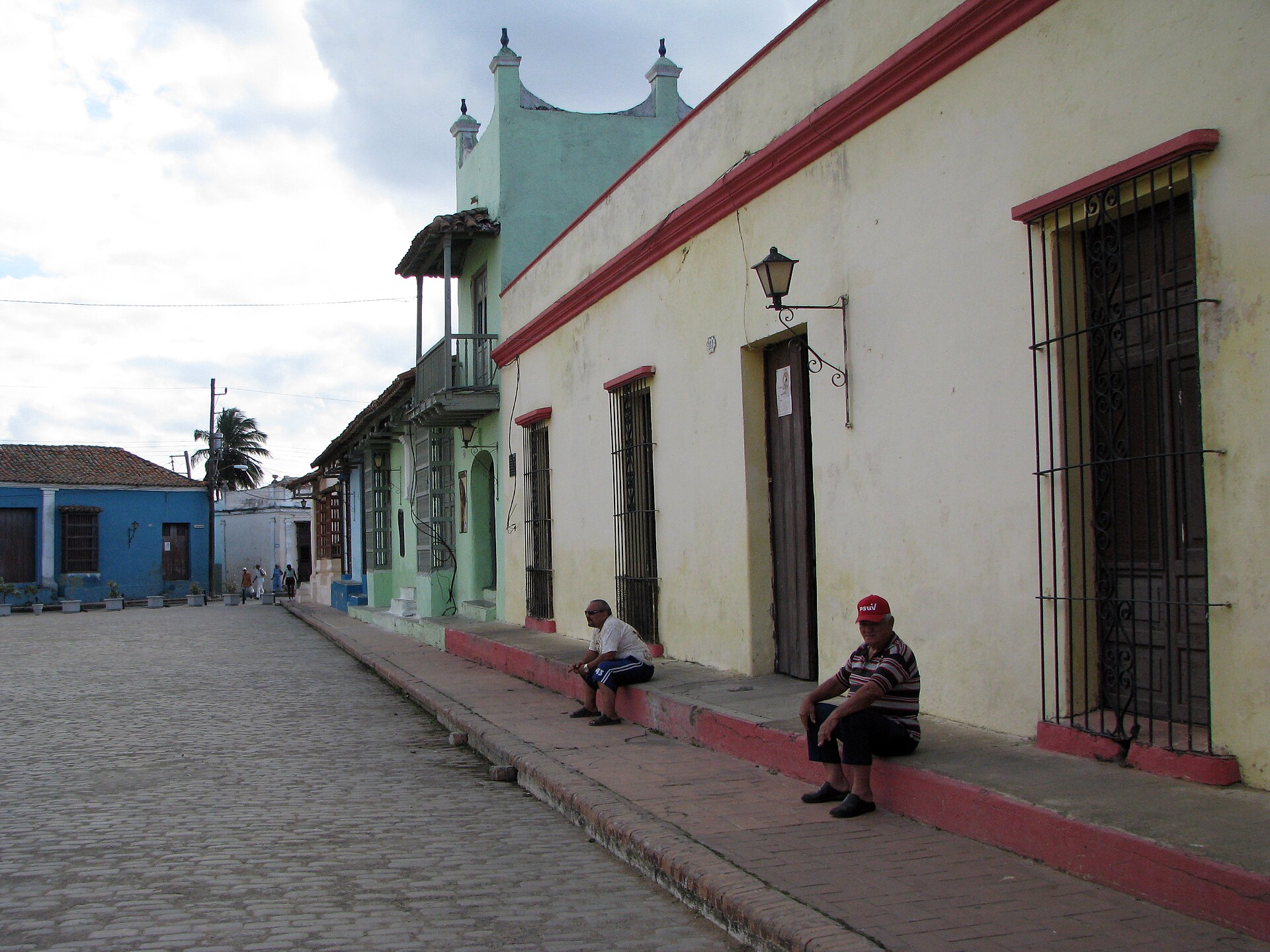
The thing that sets Camagüey apart from every other Cuban city is its streets — deliberately tangled, full of dead ends and unexpected plazas, designed after a 17th-century buccaneer raid to confuse any future attackers. That history is still legible in the layout. You round a corner expecting a through-road and find instead a square with baroque churches and enormous clay tinajones, the terracotta water jars that colonists once relied on for survival.
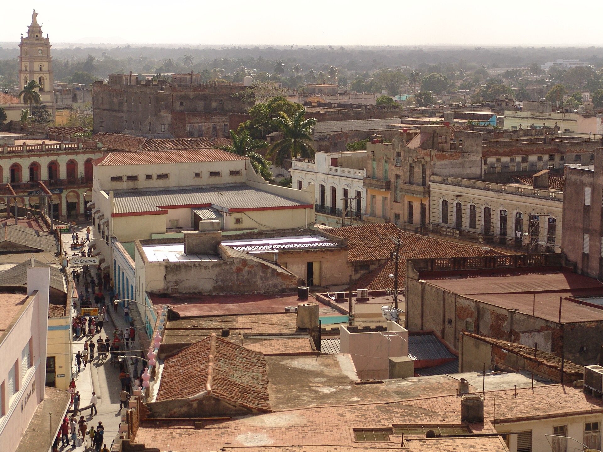
The historic centre covers 54 hectares and holds an unusual architectural range: neoclassical, Art Deco, Art Nouveau and Neo-colonial buildings stand alongside one another without much fuss. This is Cuba's third-largest city, yet the core moves at a pace that rewards wandering on foot rather than planning.
How Camagüey came to be
Camagüey began as Santa María del Puerto del Príncipe, one of the seven original Spanish settlements in Cuba, founded on the northern coast in 1514 under Diego Velázquez de Cuéllar. The settlement relocated inland in 1528 to a Taíno site already called Camagüey. Buccaneers raided it in 1668, and the city was rebuilt with the deliberately labyrinthine street plan it still carries. It didn't officially take the name Camagüey until 1903.
The city has produced an unlikely concentration of significant figures: poet laureate Nicolás Guillén, writer Severo Sarduy, yellow-fever researcher Carlos J. Finlay, and independence fighter Ignacio Agramonte, who was baptised in the Church of Nuestra Señora de la Soledad in 1841. UNESCO recognised the historic centre as a World Heritage site in 2008.
Who and what shaped it
People who shaped it
Landmark buildings
See Camagüey in motion
Plan your visit
On the map
When to go
November through April is the practical window — drier, cooler, and outside the peak of hurricane season, which runs July to November with September and October carrying the most risk. Summer brings heat and humidity that can make long stretches of walking genuinely taxing.
Right now
Background & history adapted from Wikipedia (CC BY-SA) · specs from Wikidata (CC0) · weather from Open-Meteo · map data © OpenStreetMap contributors · photos from Wikimedia Commons / Unsplash with per-image credit. No third-party reviews or social posts reproduced.