
Bunaken National Park

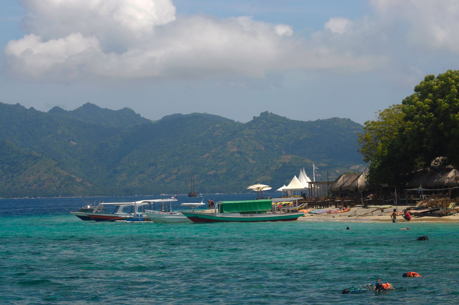
Sit at the edge of a dive boat somewhere off Bunaken Island and look down: the reef drops away in a near-vertical wall for 25 to 50 metres, its face studded with 13 coral genera and whatever moves through them. This is what people come for — one of the most species-rich marine environments on the planet, barely a degree above the equator in the Sulawesi Sea.
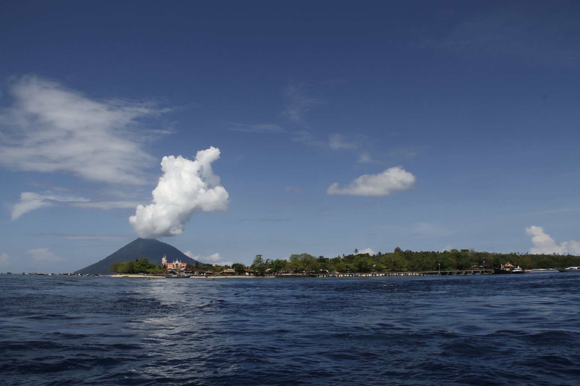
The park covers five islands. Manado Tua rises as a classical volcanic cone to more than 600 metres. Flat, sinking Mantehage is mostly mangrove channels. Bunaken itself is banana-shaped with uplifted fossil coral. Together they give the park a range that goes well beyond the reef.
💛 What travellers fall for
People who dive here more than once tend to work through the Lekuan Walls methodically — Lekuan I, II and III run along Bunaken's north coast and are considered the park's strongest sites. Return visitors also mention timing the public boat from Kalimas harbour carefully: it leaves Manado around 14:00-15:00, and the return from Bunaken village runs only until about 09:30 each morning.
How Bunaken National Park came to be
The area was designated an underwater conservation point by the Governor of North Sulawesi in 1980, then formally established as a national park in 1991 — one of Indonesia's first marine parks — with an inauguration in 1992. By 1994 the park had been divided into managed sections, though serious conservation funding only arrived around 2000, enabling rezoning and environmental patrols.
A user-pays entrance fee system launched on 15 March 2001. Two years later, in 2003, the park won the British Airways Tourism for Tomorrow Award globally. In 2005, Indonesia submitted an application to UNESCO for World Heritage listing.
Who and what shaped it
Landmark buildings
See Bunaken National Park in motion
Plan your visit
On the map
When to go
The dry season runs May to October, with the clearest underwater visibility and temperatures peaking around 35°C; the prime window is early September through early October. From November to mid-April, north-westerly winds bring heavy rain and occasionally rough seas that can reduce visibility for days at a stretch.
Right now
Background & history adapted from Wikipedia (CC BY-SA) · specs from Wikidata (CC0) · weather from Open-Meteo · map data © OpenStreetMap contributors · photos from Wikimedia Commons / Unsplash with per-image credit. No third-party reviews or social posts reproduced.