
Bukit Timah Nature Reserve
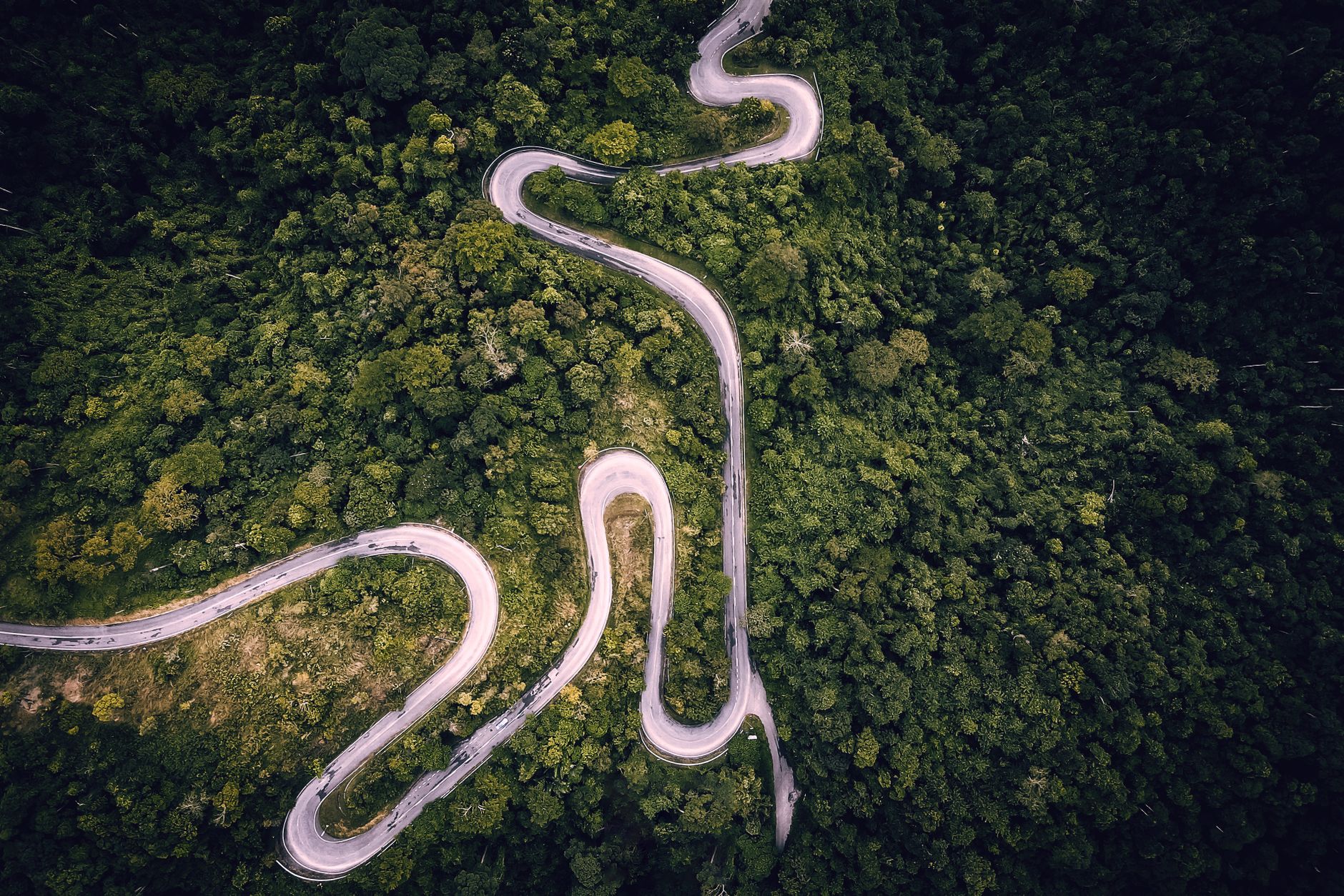
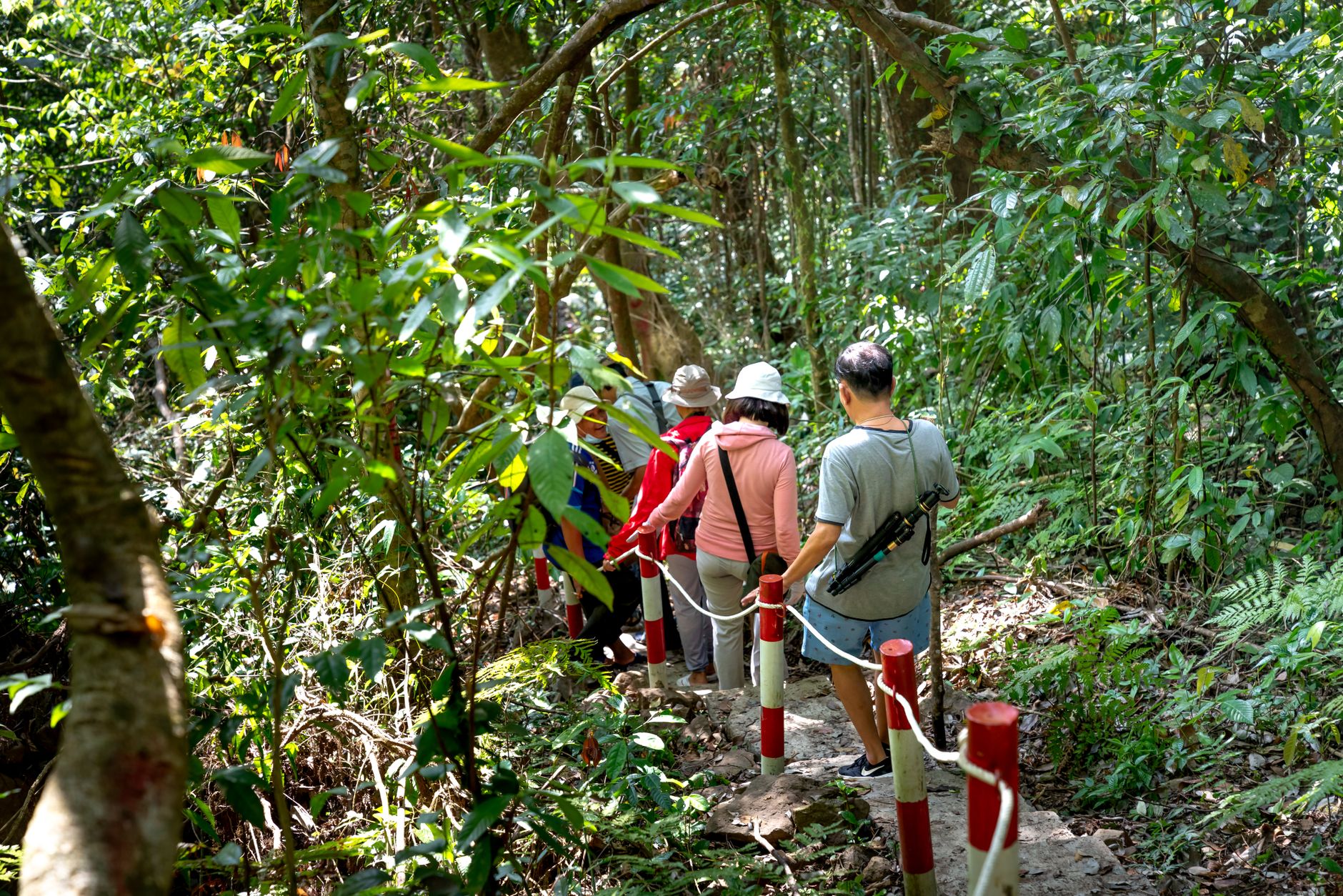
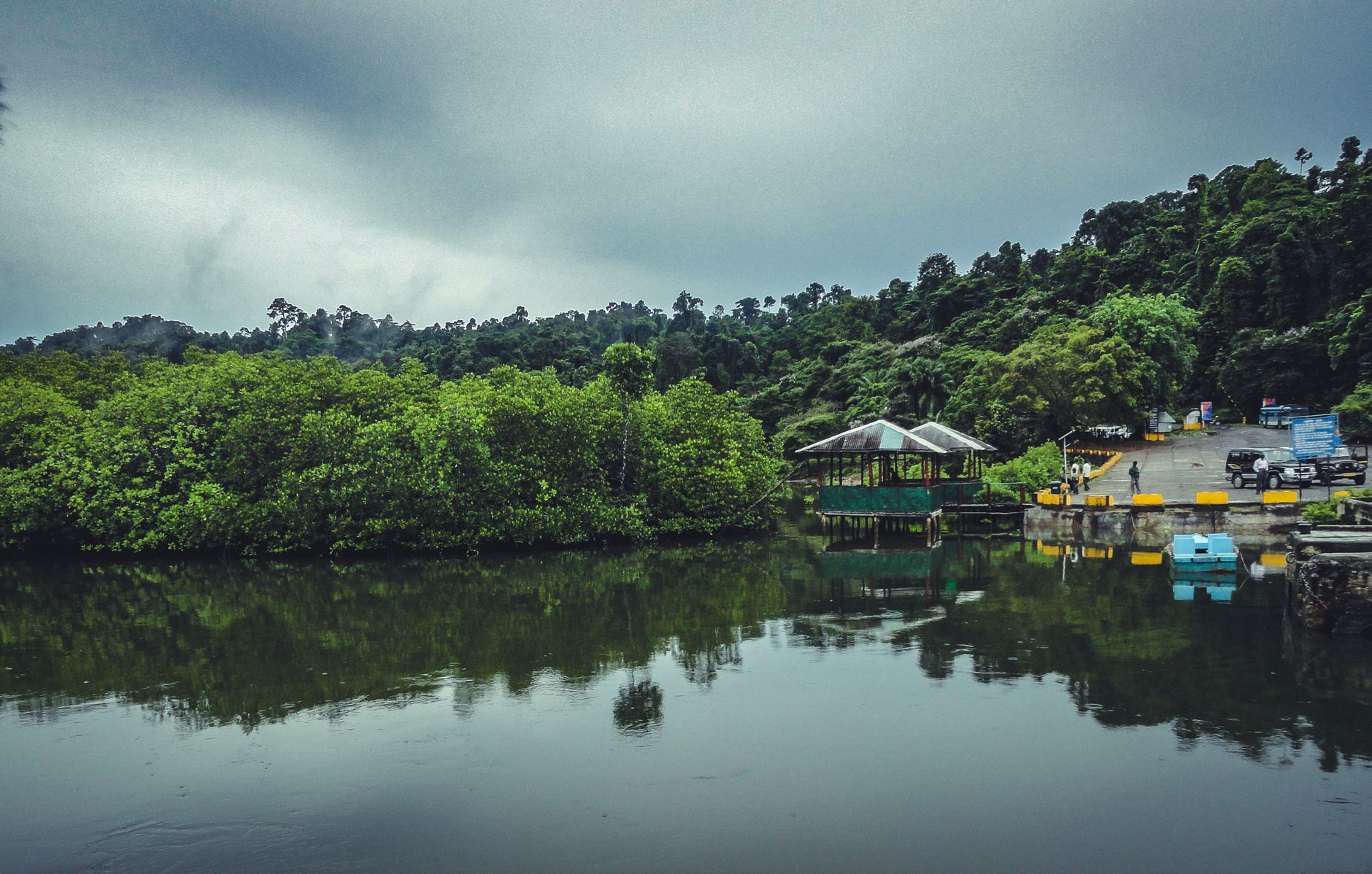
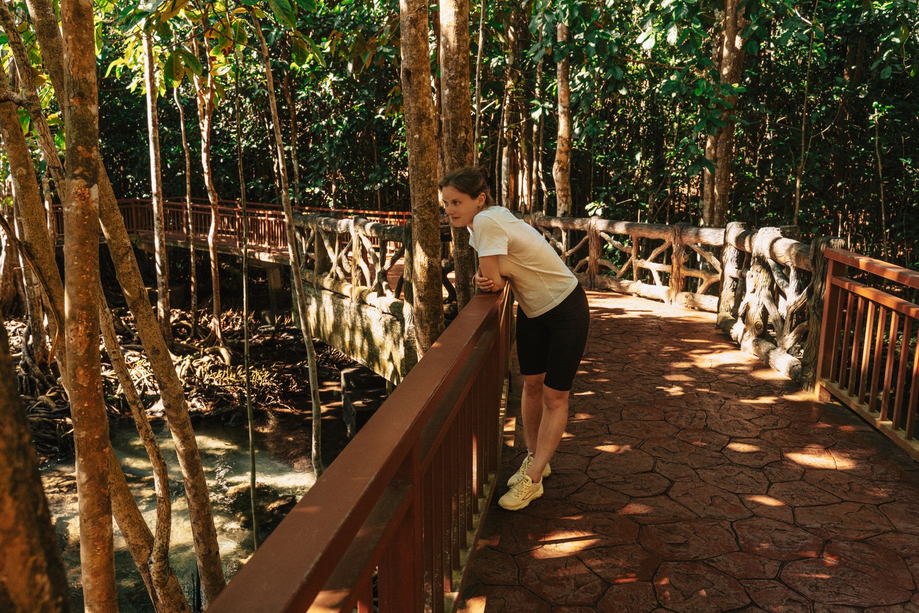
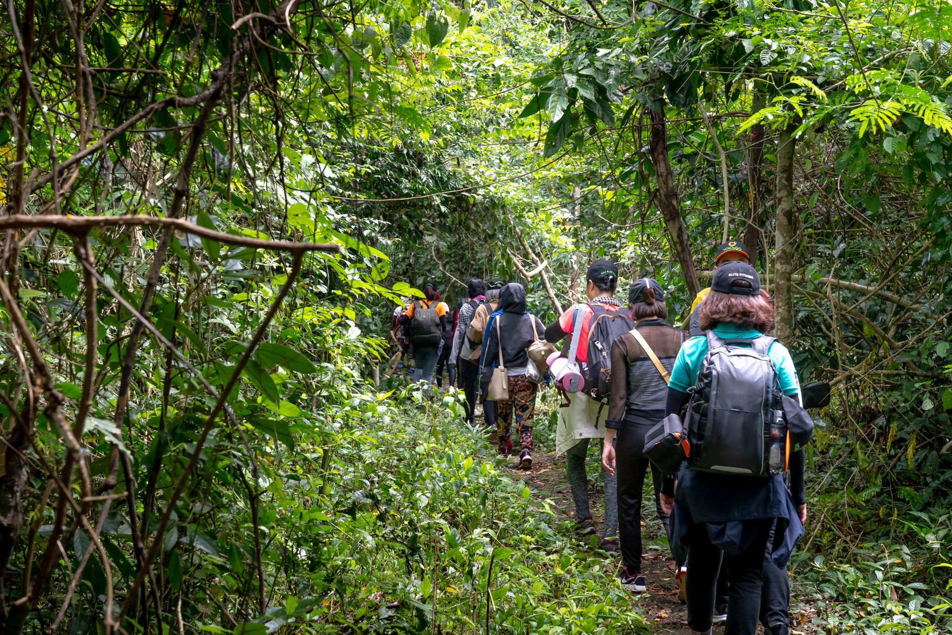
At 163.6 metres, Bukit Timah Hill is the highest point of land in Singapore — a fact that surprises people who picture the city-state as entirely flat and glass-fronted. What's more surprising is what surrounds it: primary rainforest that has stood here for centuries, with seraya trees estimated at 400 years old and crab-eating macaques that regard you with the mild suspicion of long-term residents.
The reserve covers a compact but genuinely dense patch of lowland dipterocarp forest, crossed by four marked trails ranging from a 1.2-kilometre walk to the summit to a 3-kilometre loop taking in the rehabilitated wetlands of Dairy Farm. An ecological bridge spans the expressway that cuts through the reserve, quietly stitching wildlife corridors back together overhead.
💛 What travellers fall for
People who come back tend to take Route 3 — the longer, harder path through the Cave section — once they've done the main summit trail. They also mention arriving right at 7am, before the heat settles in and before the macaques along the entrance road get bold. Bring your own water; the single refill point is at the visitor centre and nowhere else.
How Bukit Timah Nature Reserve came to be
The reserve traces its origins to a single survey. In 1882, Nathaniel Cantley, then Superintendent of the Singapore Botanic Gardens, assessed the forests of the Straits Settlements and concluded that Bukit Timah warranted formal protection. His recommendations were acted on the following year, and the forest reserve was gazetted in 1883 — making it one of the oldest protected areas in Southeast Asia.
Formal legal standing came later, with the Nature Reserves Ordinance of 1951 establishing a governing board. In 1990 Bukit Timah and the adjacent Central Catchment area were jointly declared Nature Reserves, and in 2011 the site received ASEAN Heritage Park status. Restoration works carried out between 2014 and 2016 repaired trails and infrastructure after years of heavy visitor pressure.
Who and what shaped it
People who shaped it
Landmark buildings
See Bukit Timah Nature Reserve in motion
Plan your visit
On the map
When to go
Singapore sits close to the equator and the reserve is hot and humid on any given day, averaging around 27°C. The driest stretch runs from February through April, when trails are firmer underfoot; November through January brings heavier rainfall and noticeably muddier paths.
Right now
Background & history adapted from Wikipedia (CC BY-SA) · specs from Wikidata (CC0) · weather from Open-Meteo · map data © OpenStreetMap contributors · photos from Wikimedia Commons / Unsplash with per-image credit. No third-party reviews or social posts reproduced.