
Buccoo Reef
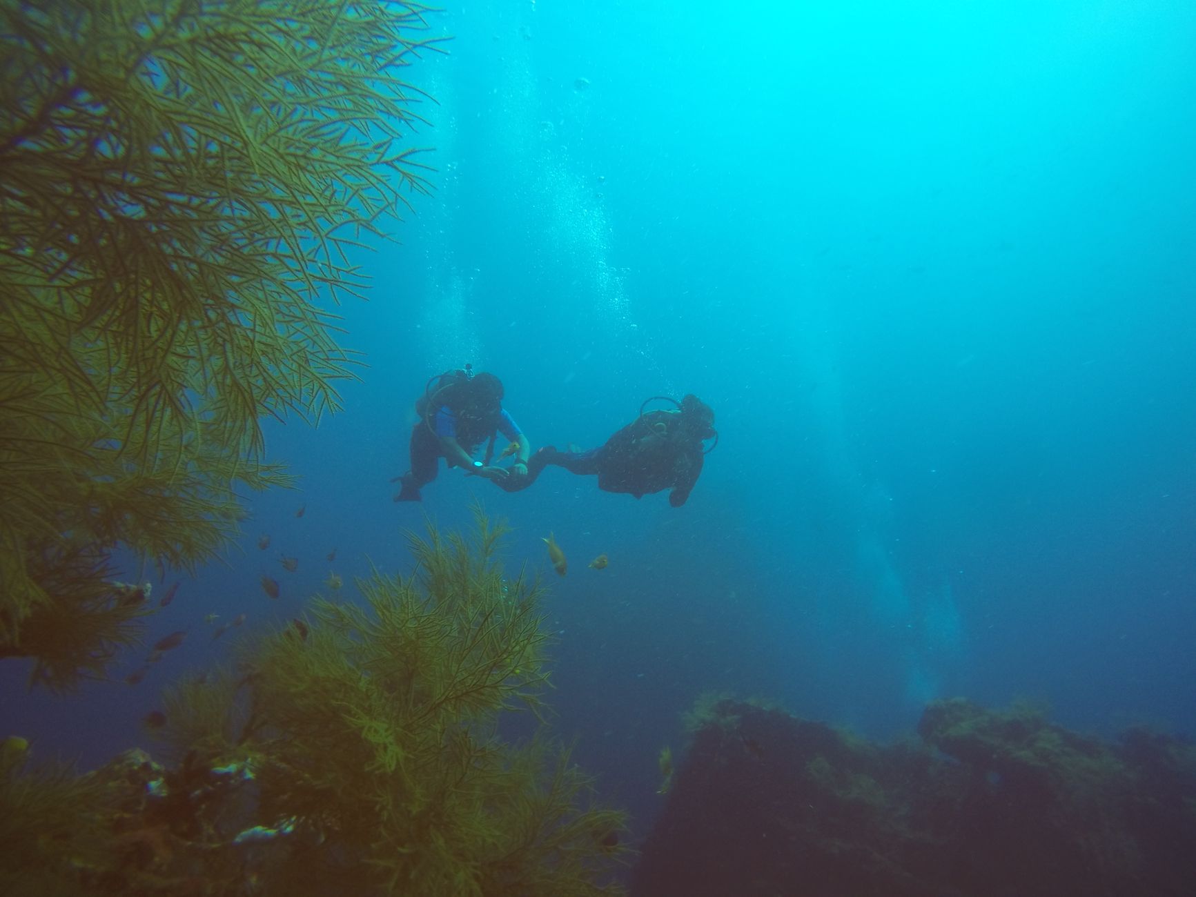
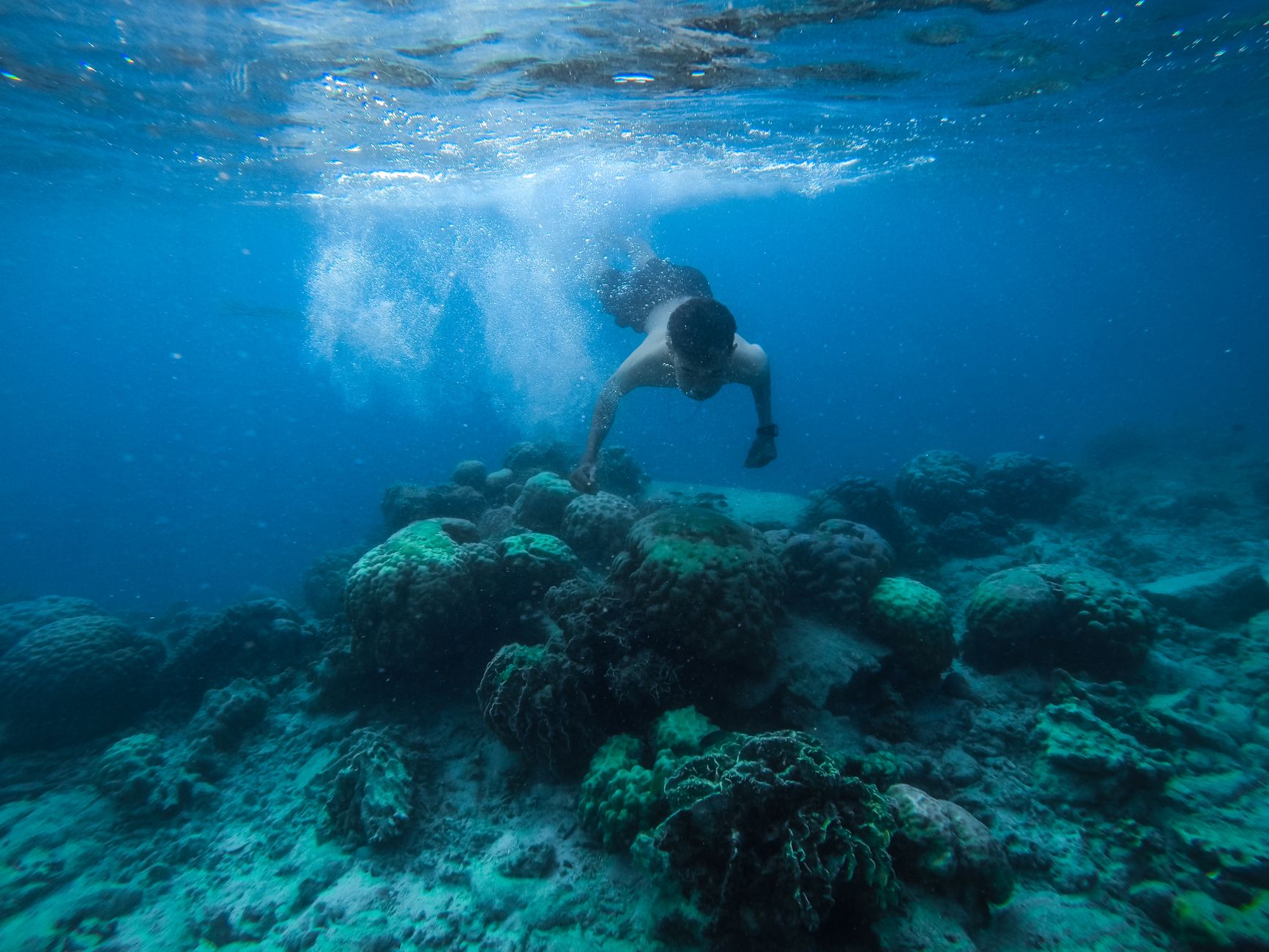
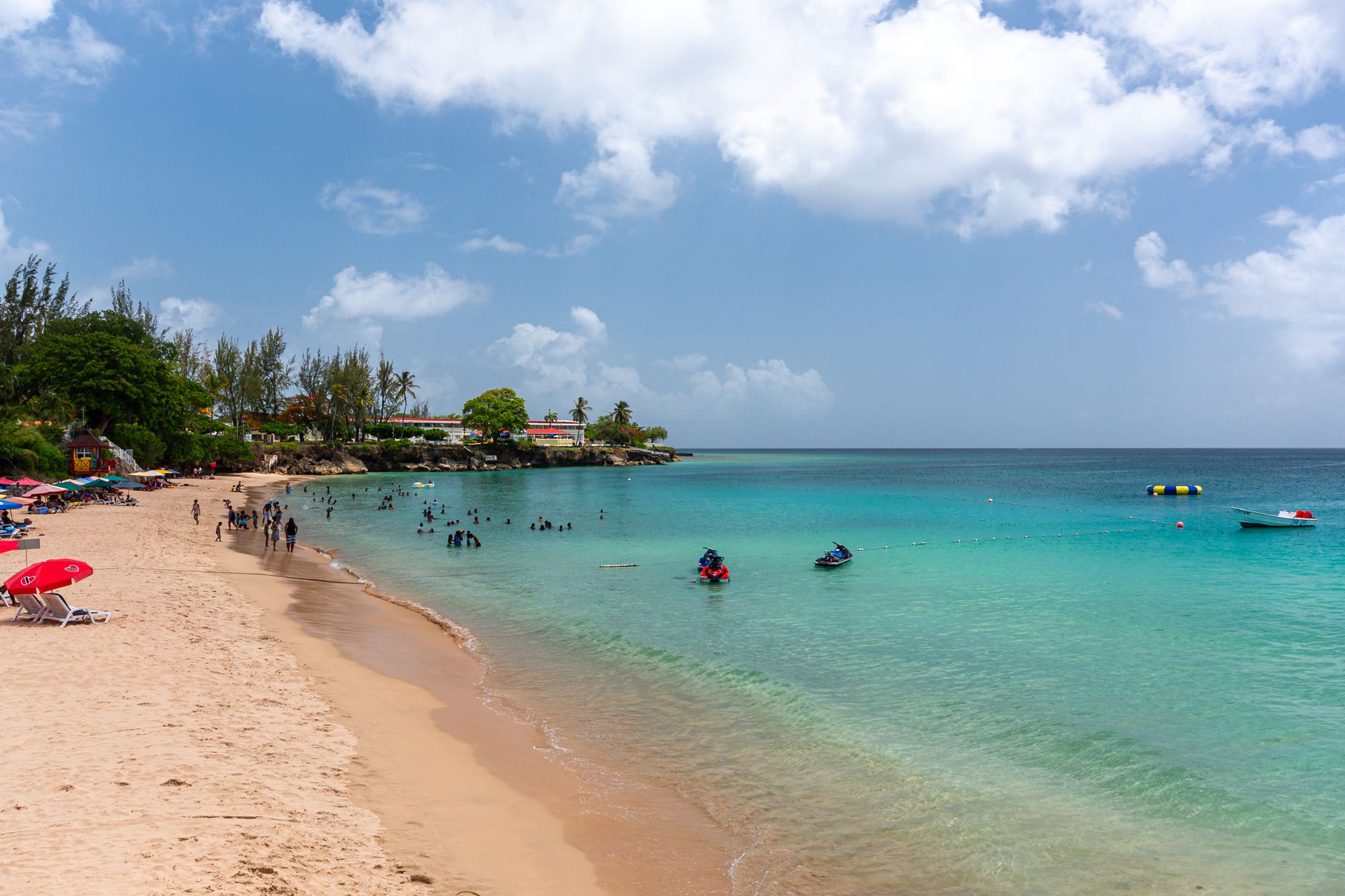
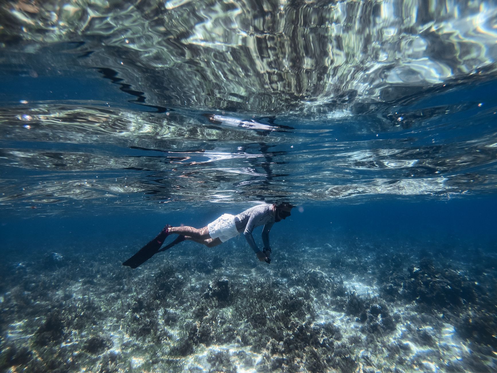
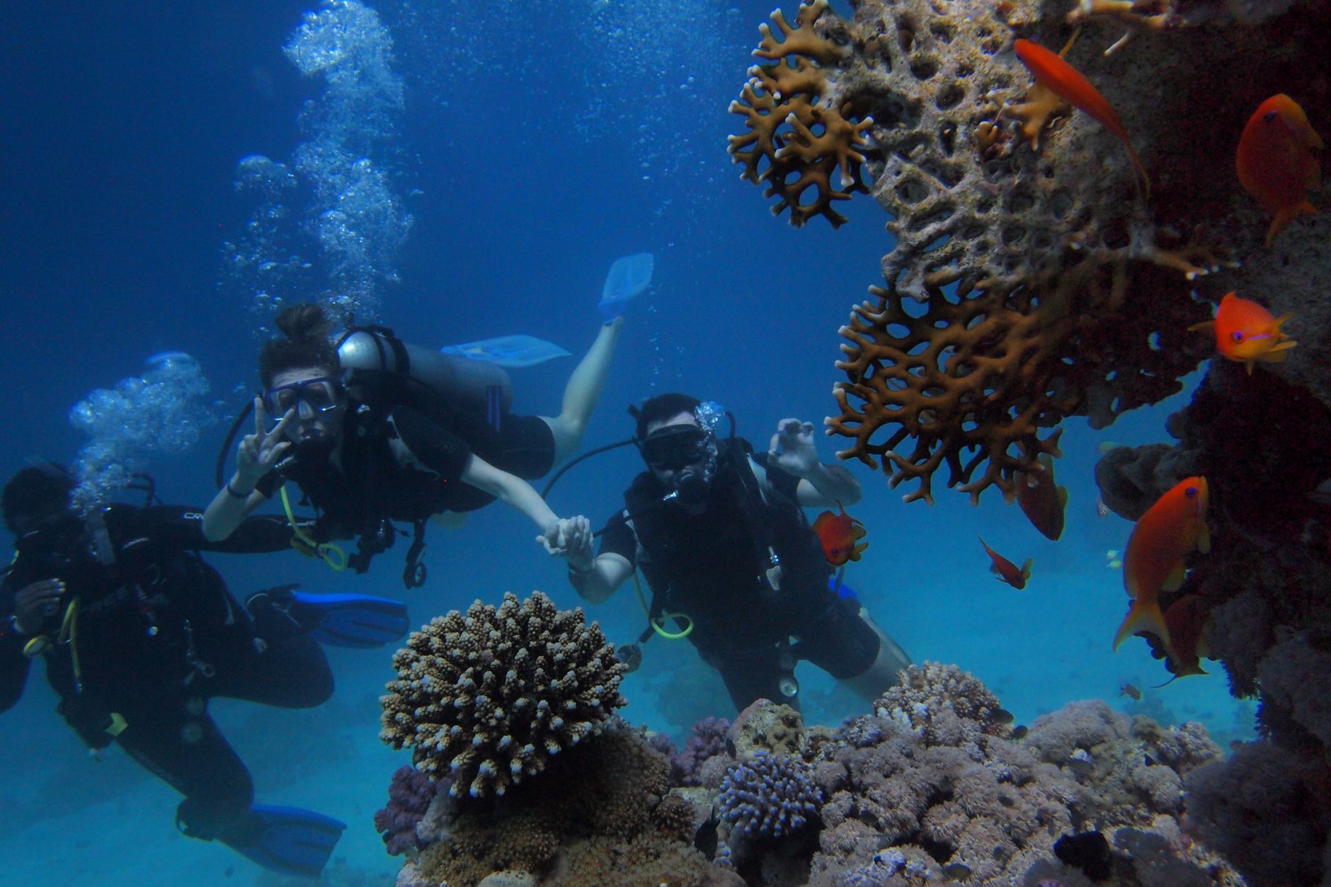
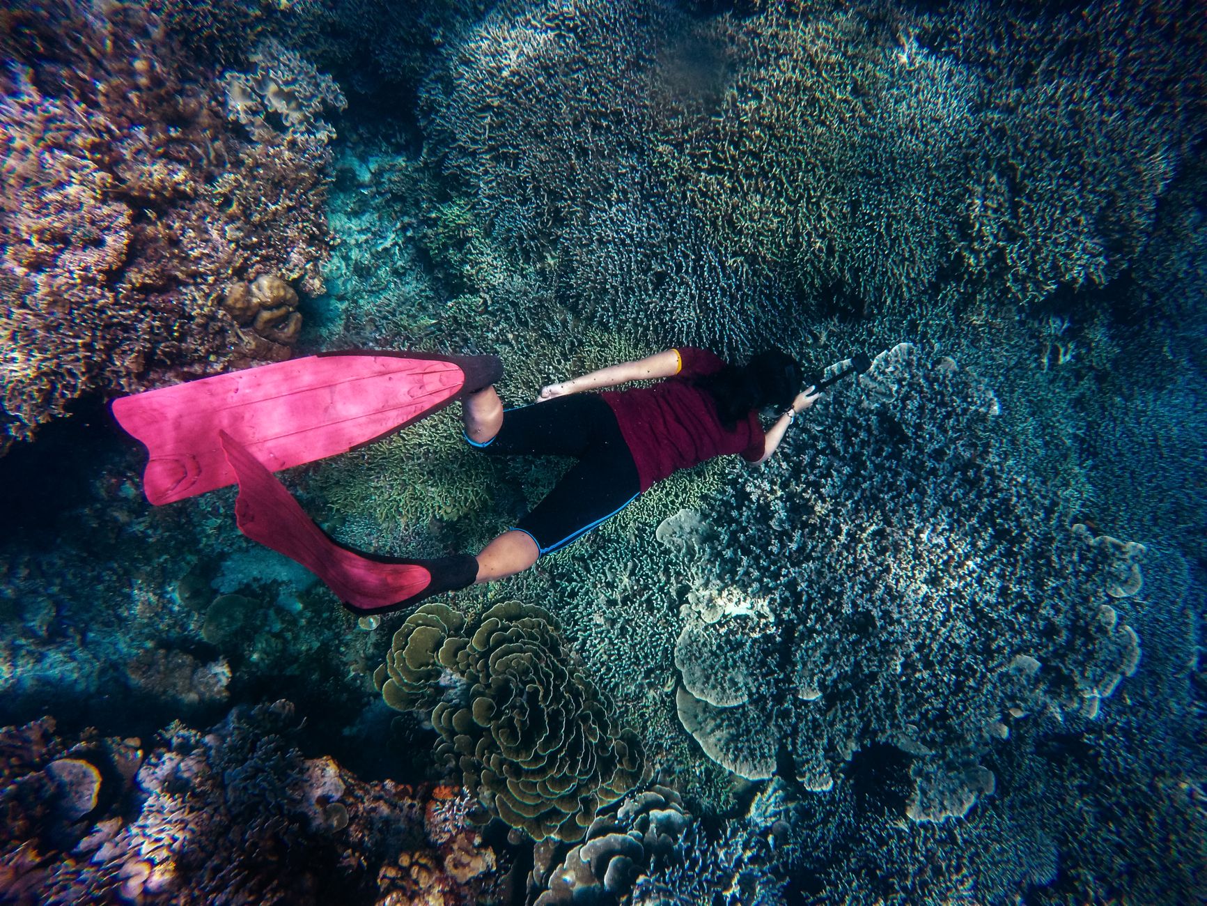
Seven square kilometres of reef sit just off Tobago's southwestern tip, close enough to shore that you can reach it by glass-bottom boat from Pigeon Point in under twenty minutes. Buccoo Reef is a complex thing — five reef flats, a shallow seagrass lagoon, mangrove wetland, and the sandy shallows of Nylon Pool — and around ninety percent of visitors to Tobago make their way out here at some point.
The reef has taken a beating over the decades. Hard coral cover fell from about twenty-five percent in 2010 to just over sixteen percent by 2012, and bleaching events in 1998, 2005, and 2010 left their mark. It remains a working reef with 119 recorded fish species, but arrive with clear eyes: this is not Speyside.
How Buccoo Reef came to be
The reef earned formal protection in 1973 when it was designated a marine park — one of the earlier such designations in the Caribbean. In 1985, researcher Richard Laydoo introduced the term 'Buccoo Reef Complex' to capture the full system: reef flats, Bon Accord Lagoon, seagrass beds, and mangrove wetland together. The Buccoo Reef Trust followed in 1999 as a non-profit focused on marine education and sustainability, and in 2005 the complex was incorporated into a protected Ramsar wetland site.
The reef's fame owes something to Jacques Cousteau, who reportedly rated it among the world's three most spectacular reefs. That reputation brought visitors in numbers the ecosystem was never built to absorb, and the decades since have been a slow reckoning with that pressure.
Who and what shaped it
People who shaped it
Landmark buildings
See Buccoo Reef in motion
Plan your visit
On the map
When to go
January through May brings the dry season — calmer water, better visibility, and the conditions most suited to reef health. The wet season runs June to December; rainfall increases and terrestrial runoff can cloud the water with sediment. Sea temperatures peak between August and October, which is also when coral bleaching risk is highest.
Right now
Background & history adapted from Wikipedia (CC BY-SA) · specs from Wikidata (CC0) · weather from Open-Meteo · map data © OpenStreetMap contributors · photos from Wikimedia Commons / Unsplash with per-image credit. No third-party reviews or social posts reproduced.