
Bromo Tengger Semeru National Park

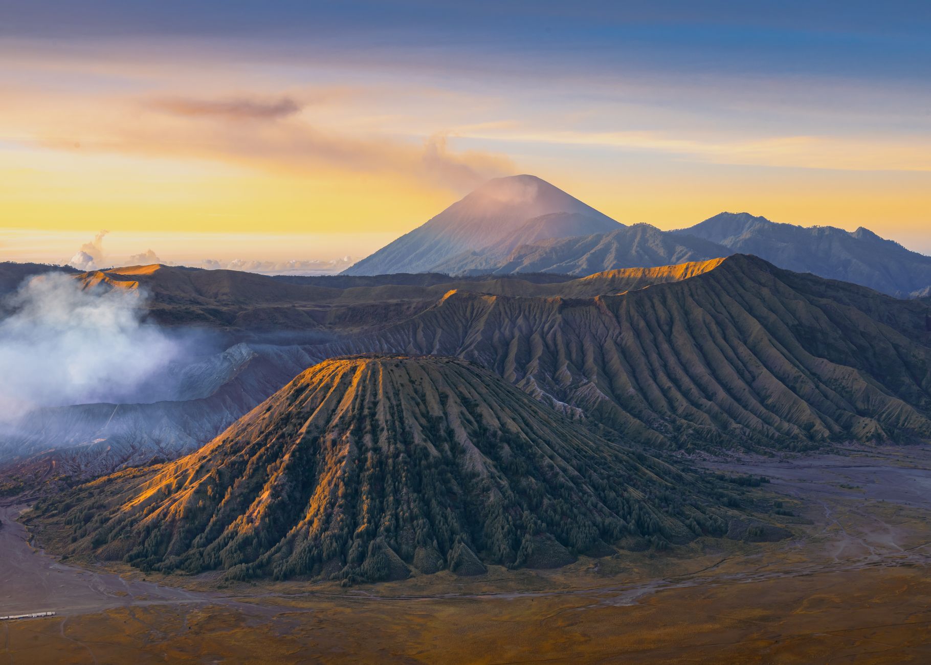
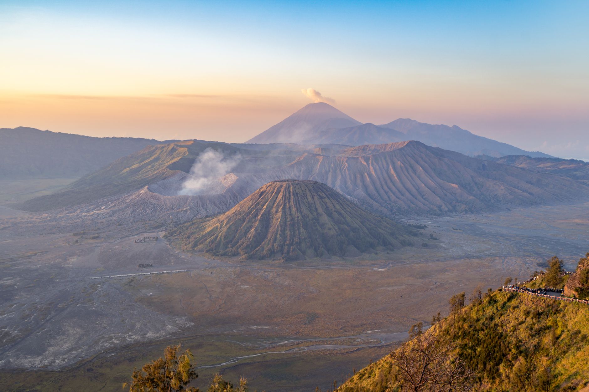

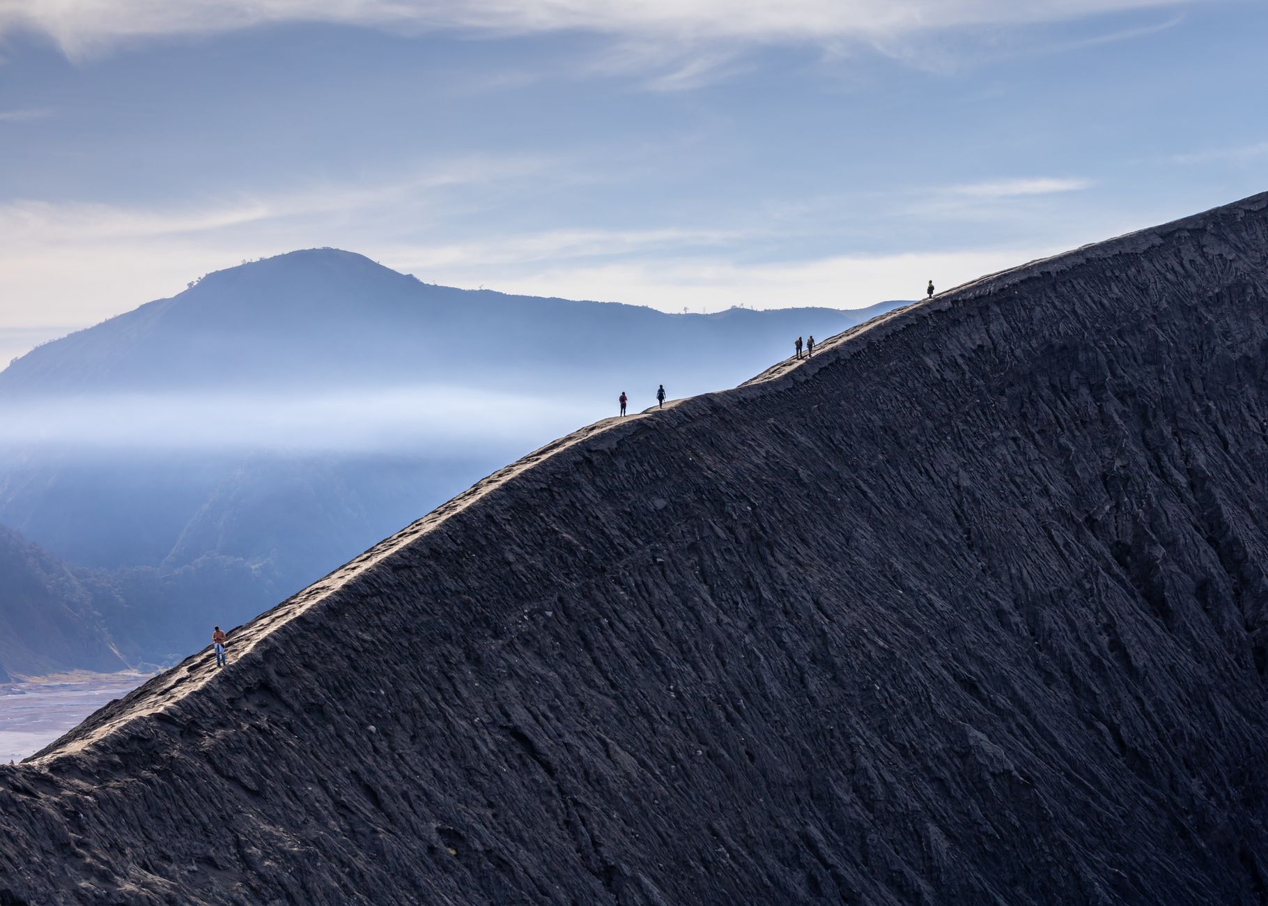

Stand at the rim of Mount Bromo at first light and the scale of what you're looking at takes a moment to register: a ten-kilometre caldera filled with grey volcanic sand, four other peaks rising out of it, and white sulphurous smoke rolling steadily from a crater you can reach by climbing 253 concrete steps. The Tengger Sand Sea is the only desert-like landscape in Indonesia, sitting at roughly 2,100 metres, cold enough at dawn to make your breath visible.
Bromo is the famous one, but the park's highest point is Mount Semeru — Java's tallest peak at 3,676 metres — which erupts every twenty to thirty minutes. These two volcanoes anchor a protected area in East Java that has been drawing visitors since the Tengger Sand Sea was first set aside for protection in 1919.
💛 What travellers fall for
People who come back tend to skip the 05:00 crush at Penanjakan viewpoint and arrive an hour later instead — same view, a fraction of the crowd. They also go directly to the national park's official office for jeep vouchers rather than dealing with the car park middlemen, and they budget a full three days if Semeru is the goal.
How Bromo Tengger Semeru National Park came to be
The Tenggerese people trace their origins to the Majapahit Empire, the Hindu-Buddhist kingdom that shaped much of Java between the 13th and 16th centuries. Folklore names the founding couple as Roro Anteng and Joko Seger, said to have received tax-exempt land from King Kertanegara, who ruled in the mid-13th century. Their descendants still live across four regencies surrounding the caldera — around 95,000 people practising a syncretic faith that weaves together Javanese animism, Hinduism and Buddhism, officially recognised as a form of Hinduism since 1973.
The landscape itself entered formal protection early: the Tengger Sand Sea was designated a protected area in 1919, and the national park was officially declared on 14 October 1982 by Ministerial Decree. The Yadnya Kasada ceremony — in which Tenggerese carry offerings to Bromo's crater rim and throw them in — has continued through all of it.
Who and what shaped it
People who shaped it
Landmark buildings
See Bromo Tengger Semeru National Park in motion
Plan your visit
On the map
When to go
The dry season, roughly April through October, is the standard window for visiting: clearer skies at dawn and more reliable conditions for the Semeru trek. The wet season brings cloud that can obscure the caldera entirely, and the Sand Sea tracks turn muddy. Nights and early mornings are cold year-round at this altitude — bring a proper layer regardless of the month.
Right now
Background & history adapted from Wikipedia (CC BY-SA) · specs from Wikidata (CC0) · weather from Open-Meteo · map data © OpenStreetMap contributors · photos from Wikimedia Commons / Unsplash with per-image credit. No third-party reviews or social posts reproduced.