
Bretagne (Brittany)
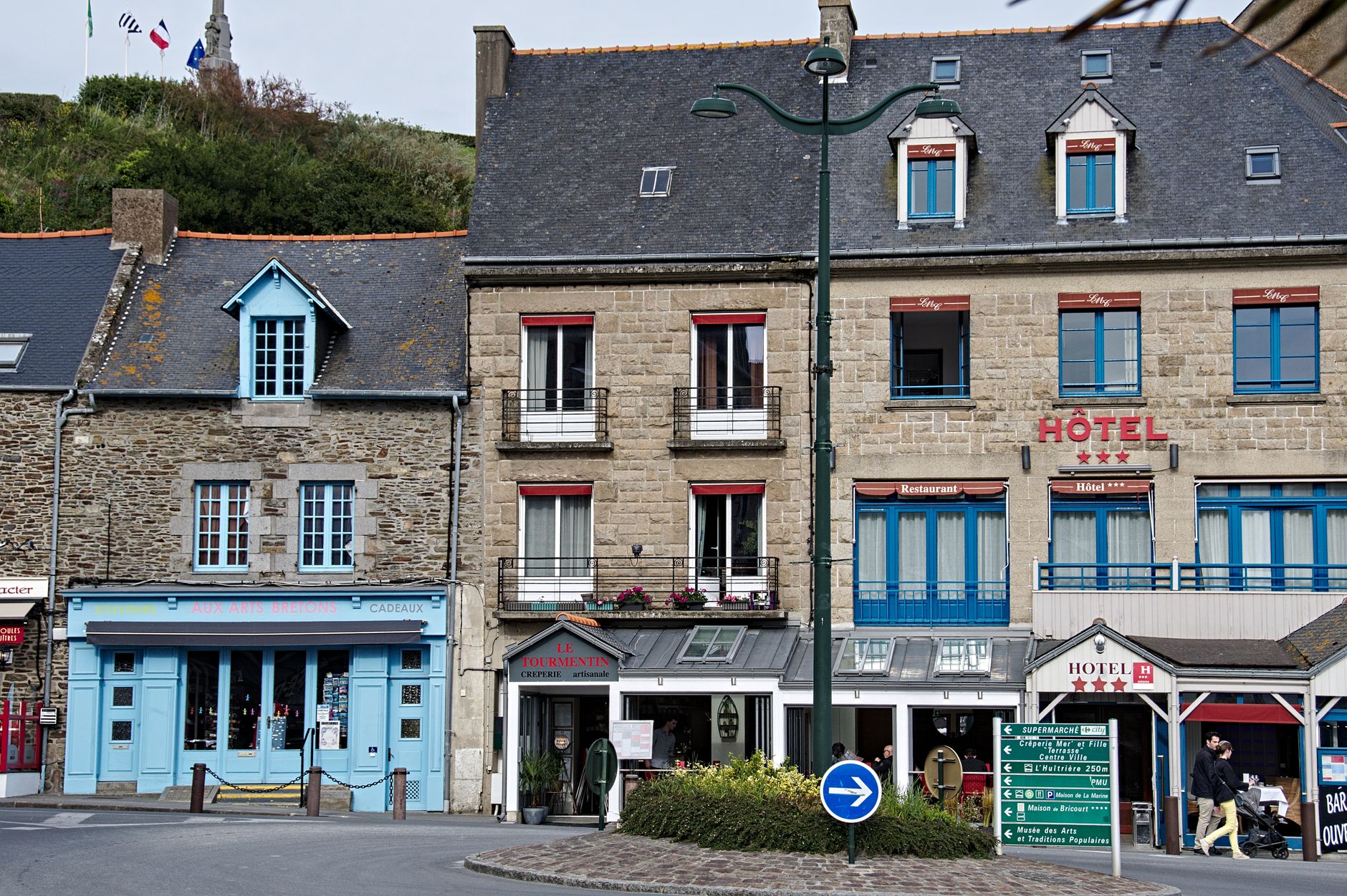
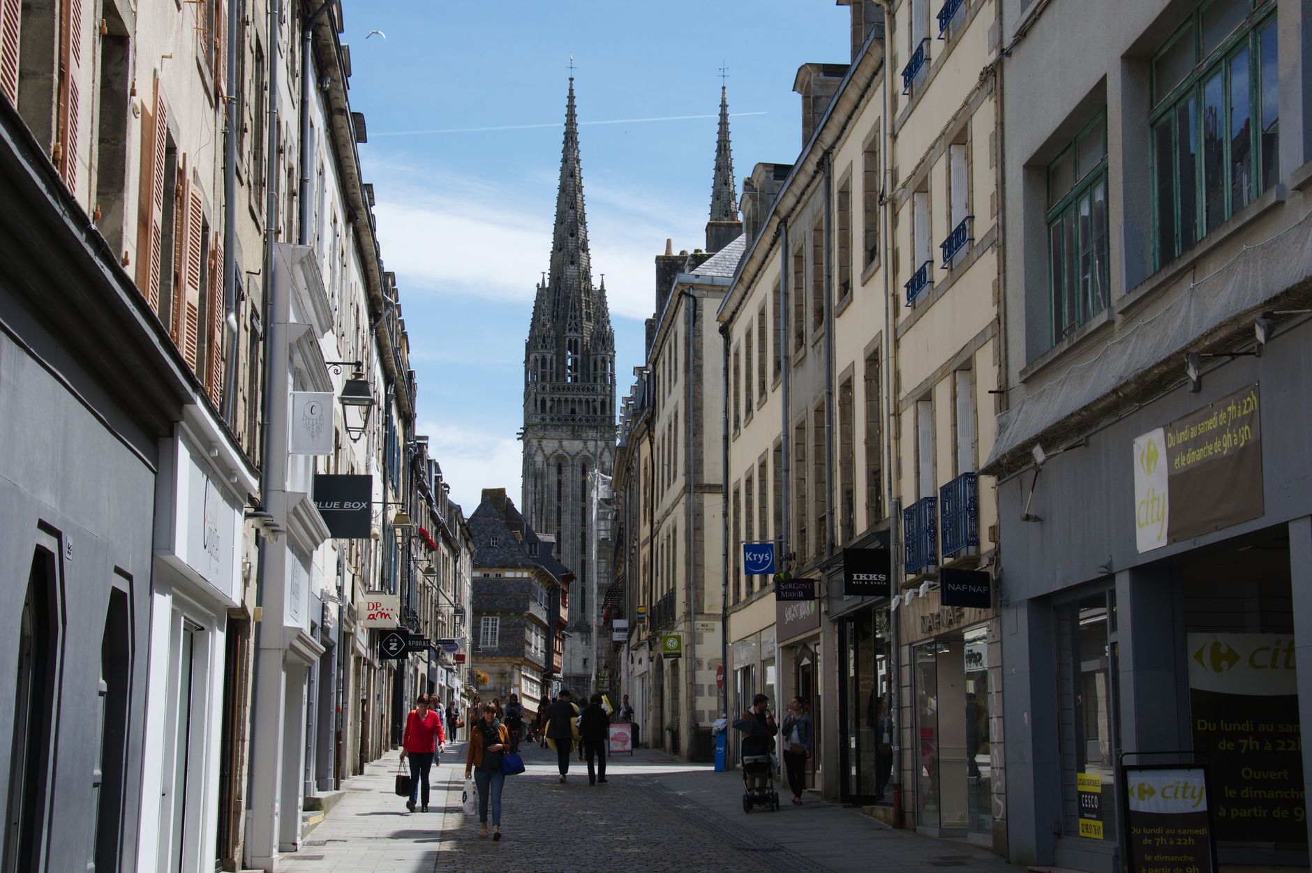
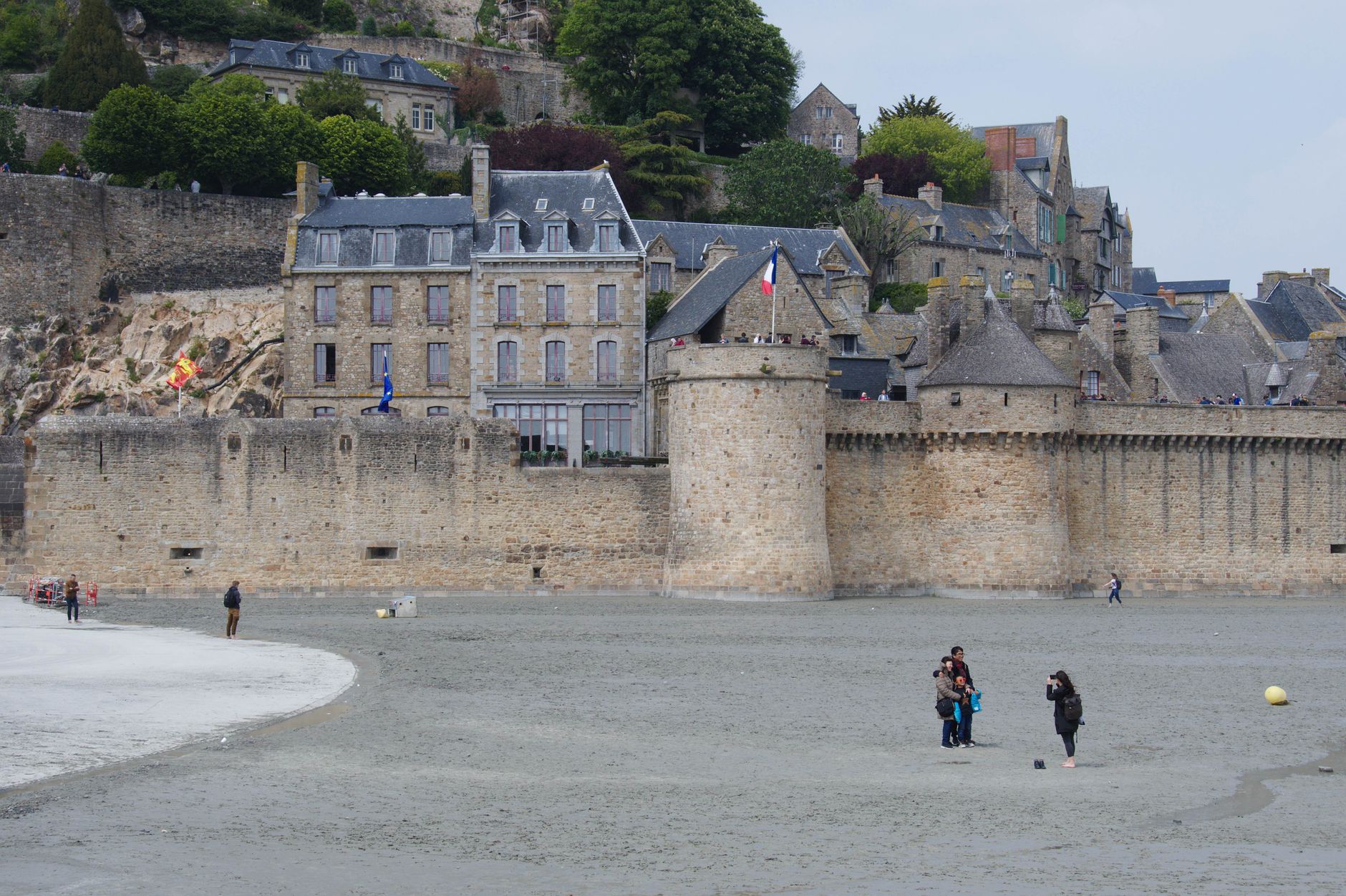
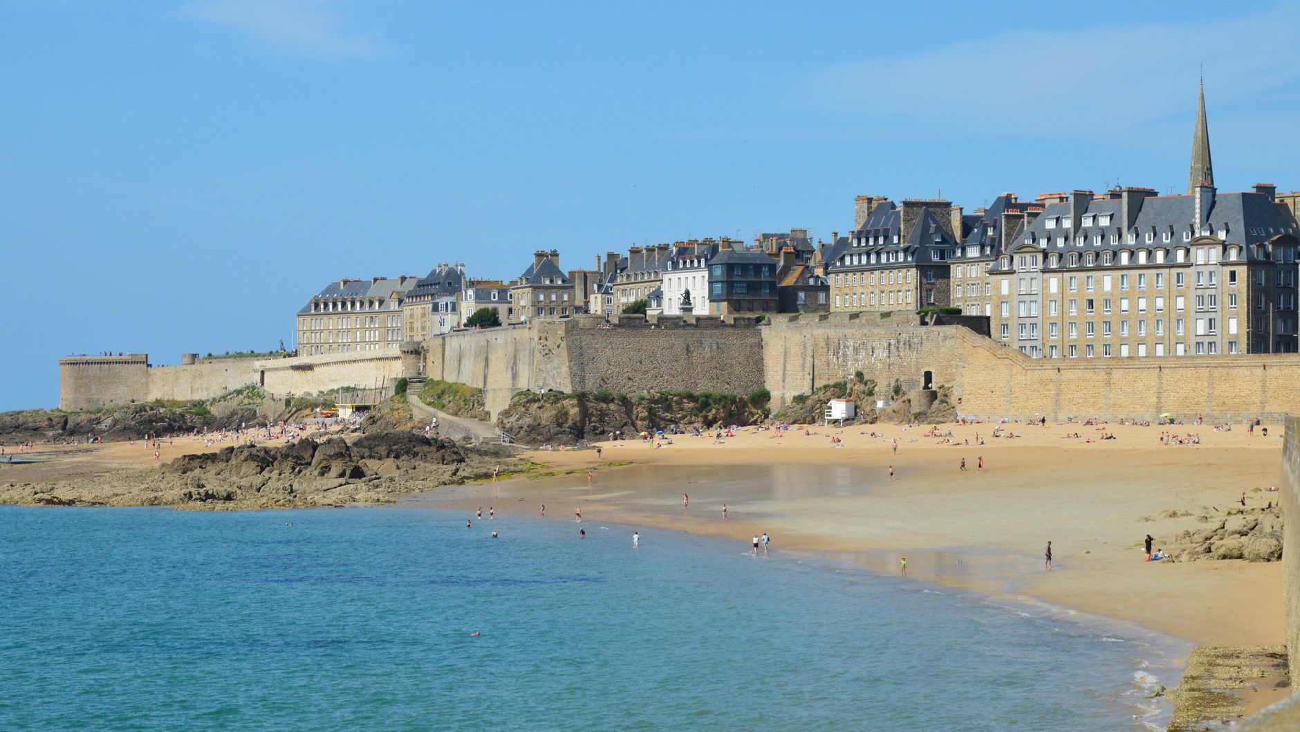
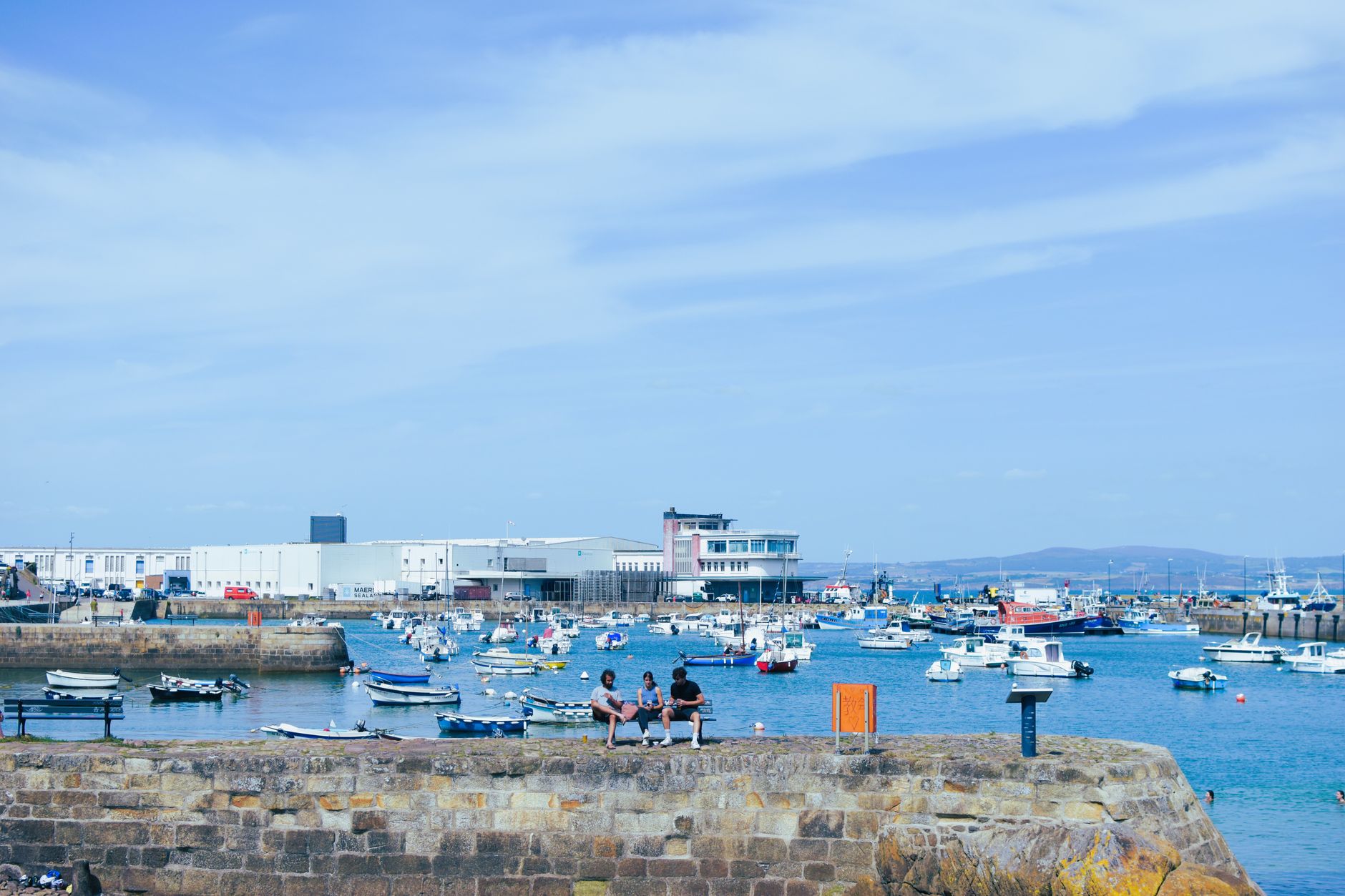
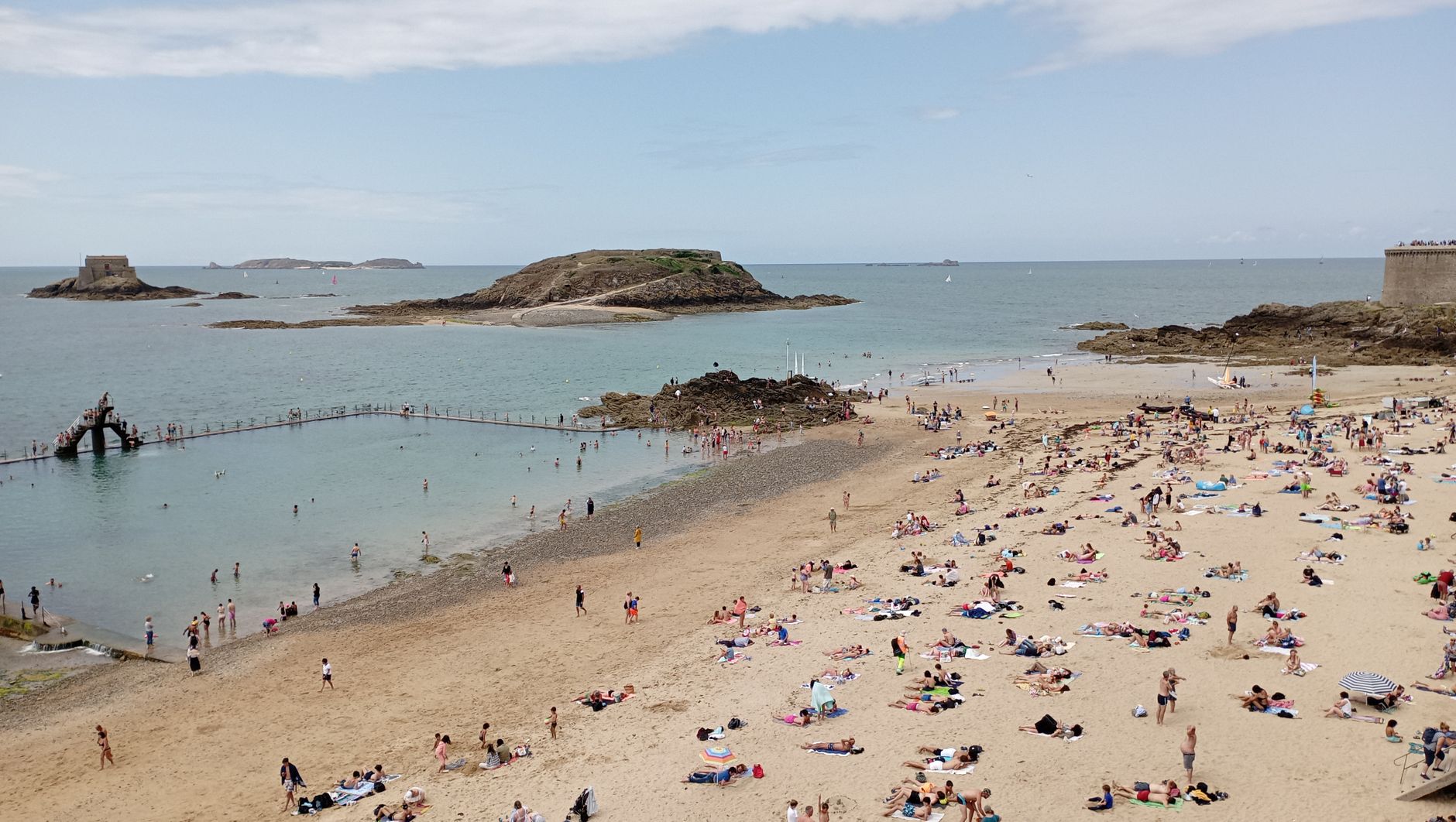
Brittany is the part of France that was never quite French. The language on the road signs — Brezhoneg — arrived with settlers from southwestern Britain in the fifth and sixth centuries, people crossing the Channel to escape the Anglo-Saxons, and it has held on ever since. The Atlantic doesn't let you forget where you are: the light is different here, cooler and more horizontal, and the coastline breaks into something wilder than anything further south.
What the region offers is range. Over 3,000 standing stones at Carnac predate Stonehenge. Medieval walled towns — Dinan, Vannes, Saint-Malo — still have their ramparts intact. Offshore lighthouses stand on exposed Atlantic reefs, and the Île Vierge lighthouse, at 77 metres, is the tallest in Europe.
How Bretagne (Brittany) came to be
The peninsula was Armorica when Julius Caesar invaded in 56 BC, folding it into the Roman province of Gallia Lugdunensis. The name Brittany — and the Breton language — came later, carried across the Channel by migrants from Dumnonia fleeing Anglo-Saxon pressure. By the ninth century the region had its own king: in 845, Louis the Pious recognised Nominoë, and by 939 Alain II had established the Duchy of Brittany.
The duchy lasted until France waged a sustained military campaign between 1487 and 1491. The young Duchess Anne of Brittany, the last ruler of an independent Brittany, was forced to marry King Charles VIII on 6 December 1491. Three centuries later, in 1790, the political entity was dissolved entirely and divided into five départements — the administrative shape it still holds today.
Who and what shaped it
People who shaped it
Landmark buildings
See Bretagne (Brittany) in motion
Plan your visit
On the map
When to go
Summers are mild rather than hot — expect highs around 21–24°C depending on how far inland you go, with sea temperatures staying cool even in August. Winters are remarkably temperate, particularly in the far west, though November through February brings frequent rain and grey skies; if you come then, come prepared for it.
Right now
Background & history adapted from Wikipedia (CC BY-SA) · specs from Wikidata (CC0) · weather from Open-Meteo · map data © OpenStreetMap contributors · photos from Wikimedia Commons / Unsplash with per-image credit. No third-party reviews or social posts reproduced.