
Bosawás Biosphere Reserve
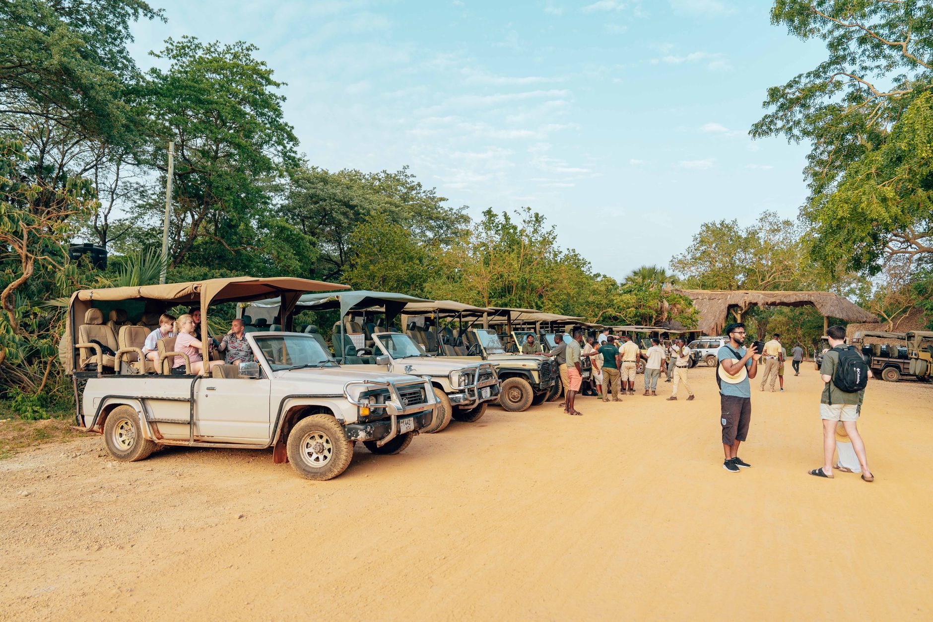
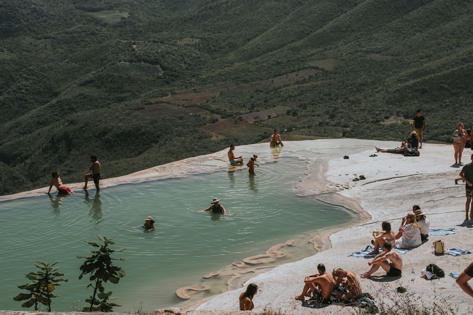

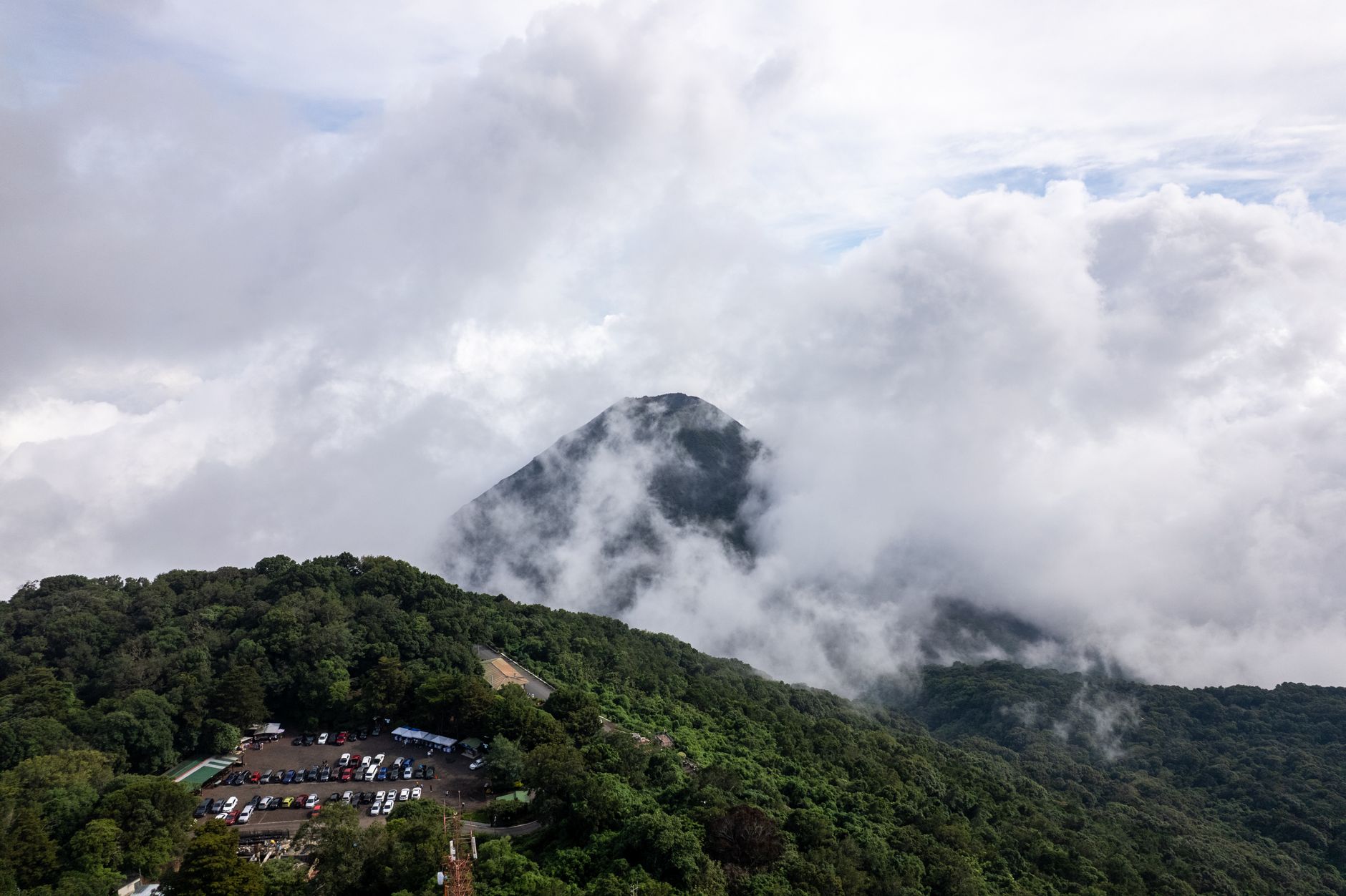
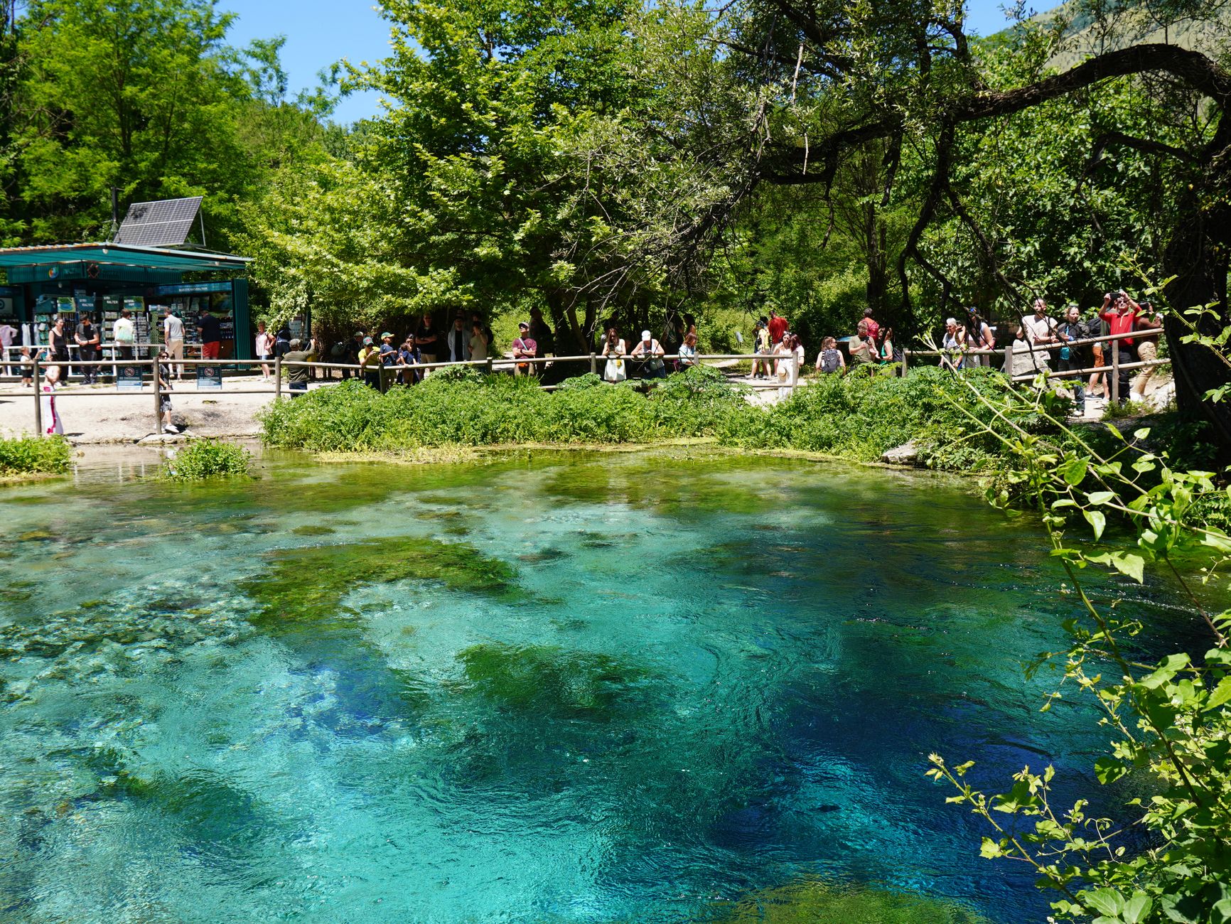
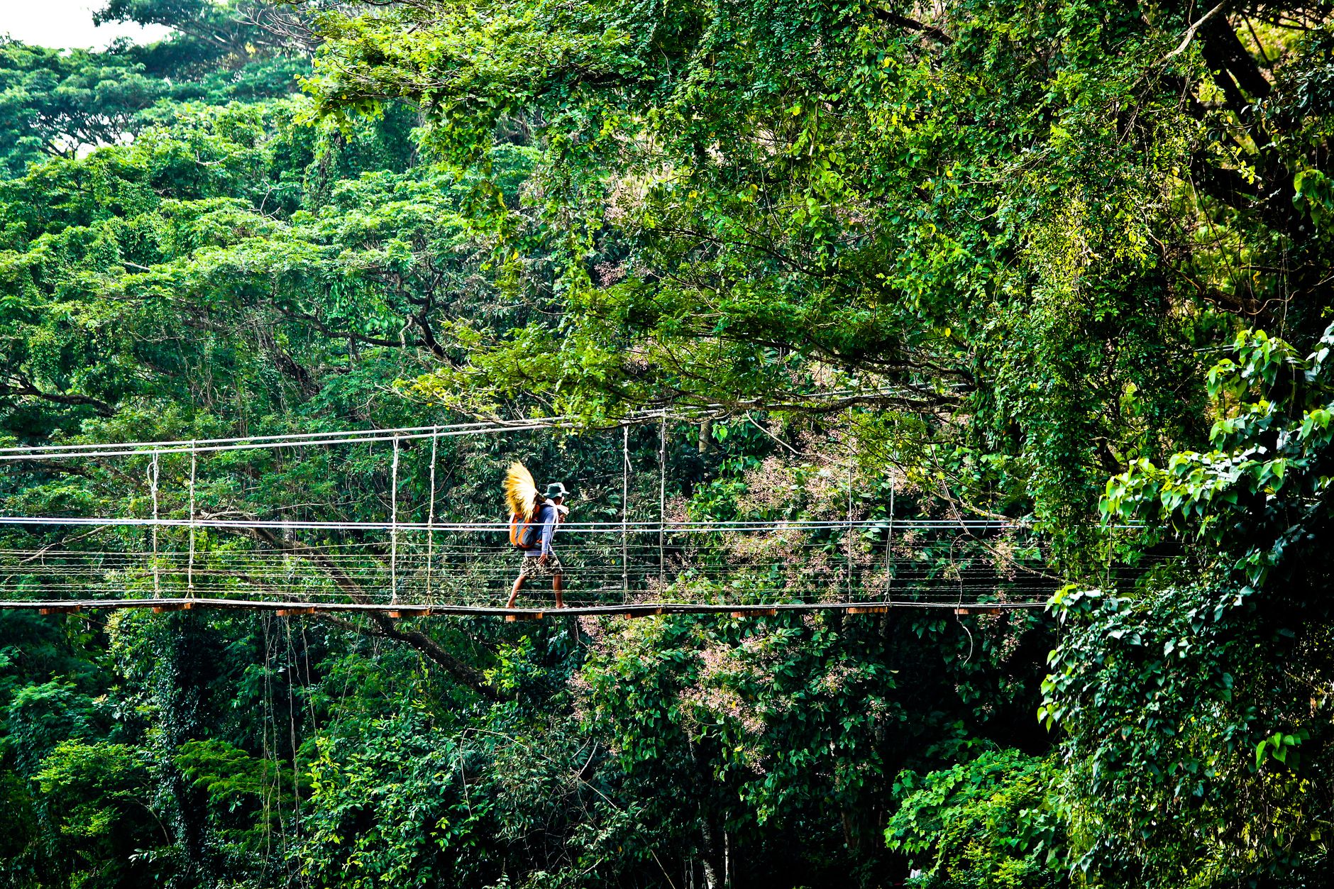
Bosawás covers roughly 8,000 square kilometres of cloud forest, river canyon and karst ridge in the north-east of Nicaragua — the second-largest tract of tropical rainforest in the western hemisphere after the Amazon. Three natural features lend it its name: the Bocay River, Mount Saslaya and the Waspuk River. About 35,000 Mayangna and Miskito people live inside its boundaries, farming corn, cassava and cacao, and fishing rivers the colour of strong tea.
This is not a place that has been arranged for visitors. There are no lodges, the trails are unmarked, and reaching the interior takes the better part of a day from Managua. What you get in return is a forest that still functions — jaguars, tapirs, harpy eagles — and a silence that has genuine weight to it.
How Bosawás Biosphere Reserve came to be
The reserve was created by executive decree in 1991 and formally recognised as a UNESCO Biosphere Reserve in 1997, following a 1992 Central American convention that identified it as a priority wilderness area. The process was not without conflict: the Mayangna and Miskito peoples whose ancestors had lived here for generations were not consulted during the initial declaration, a point that put the reserve at odds with Nicaragua's 1987 Autonomy Law, which had already recognised indigenous territorial rights on the Atlantic Coast.
Negotiations through the late 1990s eventually led to the demarcation of indigenous territorial boundaries, and collective land titles were formally granted in 2008 — a slow, contested process that shapes how the reserve is governed today.
Who and what shaped it
Landmark buildings
See Bosawás Biosphere Reserve in motion
Plan your visit
On the map
When to go
December to April is the dry season and the most practical window for trekking, though even then rain is not unusual and some rivers run too shallow for boat travel by February. At higher elevations — Cerro Kilambé sits at 1,750 metres — temperatures drop enough that a fleece earns its place in your pack.
Right now
Background & history adapted from Wikipedia (CC BY-SA) · specs from Wikidata (CC0) · weather from Open-Meteo · map data © OpenStreetMap contributors · photos from Wikimedia Commons / Unsplash with per-image credit. No third-party reviews or social posts reproduced.