
Bokor National Park
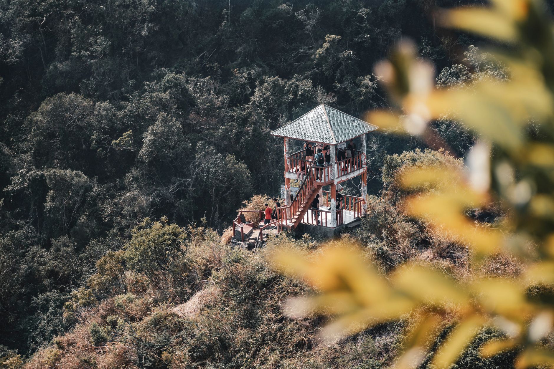

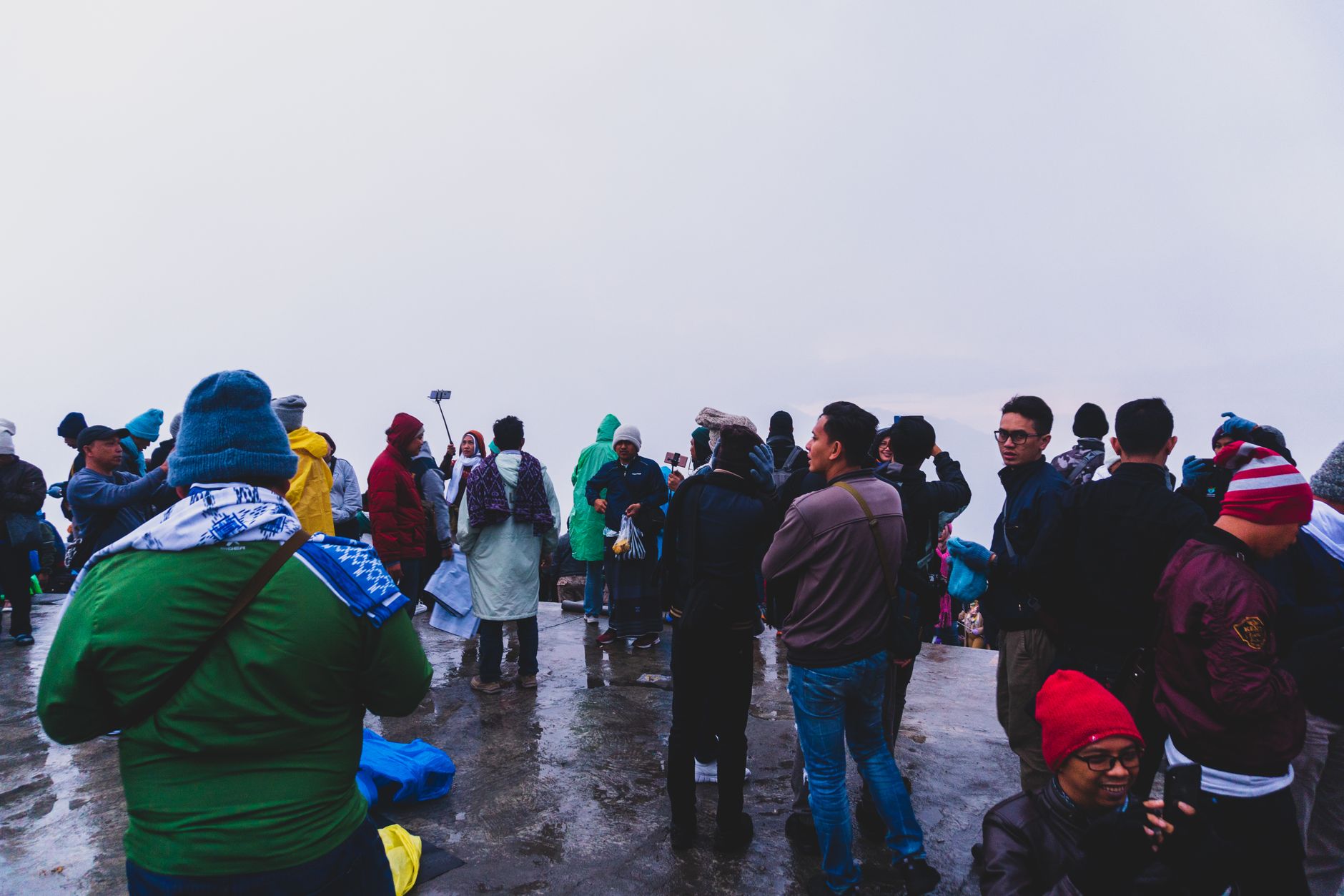
At 1,000 metres above the Cambodian coast, Bokor Mountain sits in cloud more often than not, and that's precisely the point. The plateau's colonial ruins — a gutted casino, a crumbling palace hotel, a Catholic church still receiving its congregation — emerge from the mist looking less like history and more like a film set that nobody bothered to strike.
Covering 1,544 square kilometres of the Cardamom foothills, Bokor National Park holds the ruins, the forest, a waterfall whose name translates to 'Swirling Clouds', and a 29-metre statue of the Buddhist heroine Lok Yeay Mao watching over the Gulf of Thailand below. The whole place operates at its own unhurried altitude.
How Bokor National Park came to be
The French established Bokor Mountain as a colonial retreat in 1917 and completed the full hill station — Le Bokor Palace Hotel, a casino, post office, Catholic church, and villas — by 1925. It was built partly by Cambodian forced labour, a fact the promotional literature of the era omitted. King Sisowath Monivong retreated here from the lowland heat; by the 1930s his presence had shaped the place enough that the national park inaugurated in 1993 carries his name.
The site was abandoned twice: first during the Cambodian Civil War in the 1970s, then again as the Khmer Rouge held the surrounding area until 1993. The Catholic church survived that period largely intact — one of very few in Cambodia to do so — and was returned to the local Catholic community by the government in late 2017. A luxury resort opened in 2012, and a government master plan released in 2019 envisions large-scale development through 2035.
Who and what shaped it
People who shaped it
Landmark buildings
See Bokor National Park in motion
Plan your visit
On the map
When to go
The elevation keeps temperatures between roughly 15 and 25°C year-round — noticeably cooler than the coast below. November through February brings clear skies and the sharpest views; the rainy season from May to October wraps the ruins in low cloud and fills Popokvil Waterfall to its most dramatic.
Right now
Background & history adapted from Wikipedia (CC BY-SA) · specs from Wikidata (CC0) · weather from Open-Meteo · map data © OpenStreetMap contributors · photos from Wikimedia Commons / Unsplash with per-image credit. No third-party reviews or social posts reproduced.