
Białowieża Forest
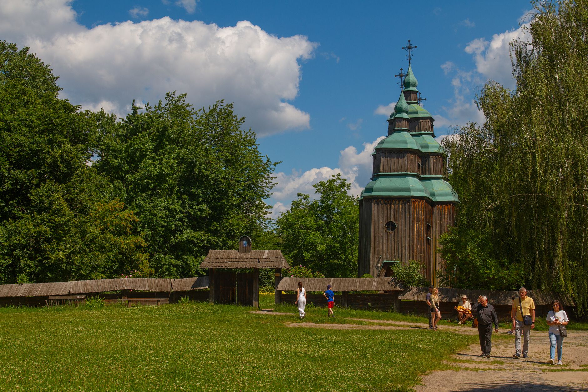
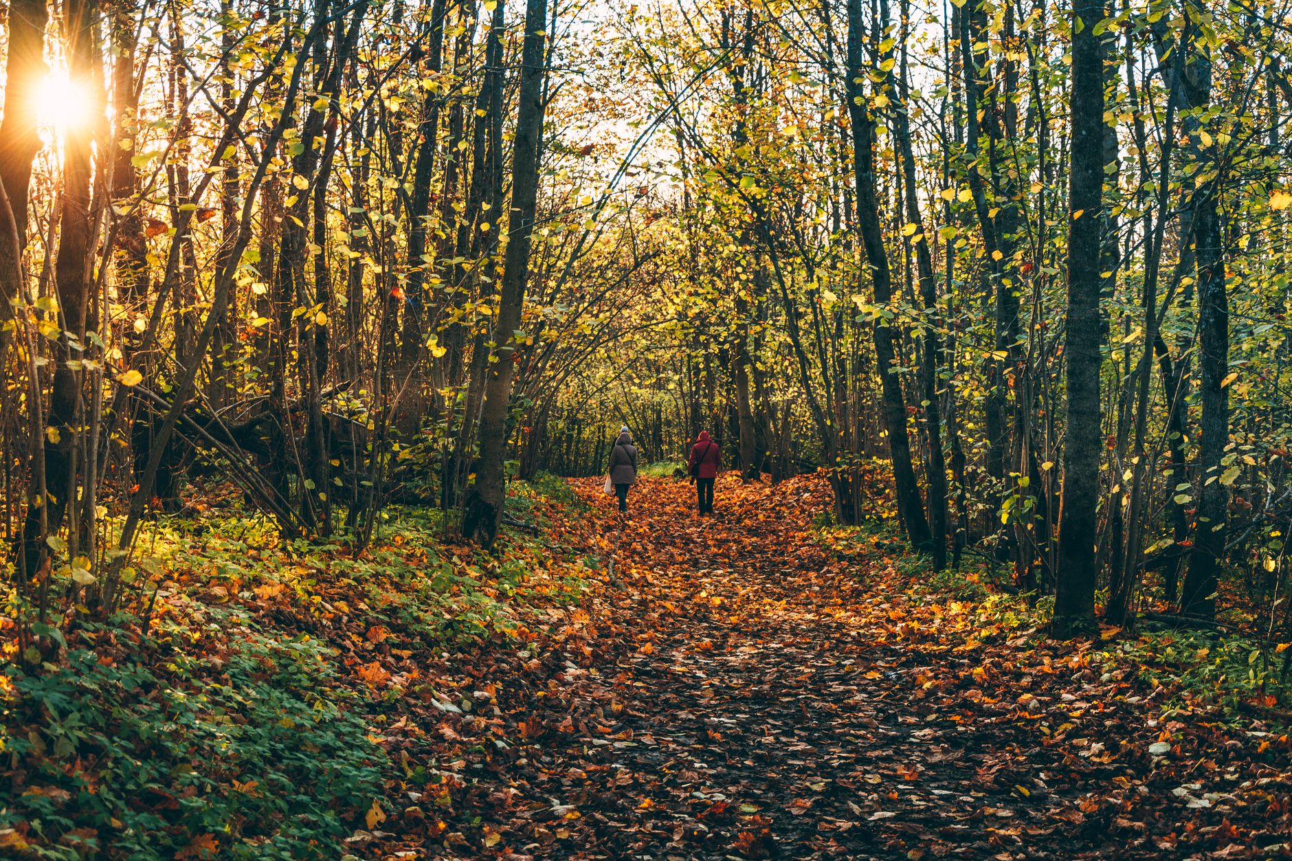
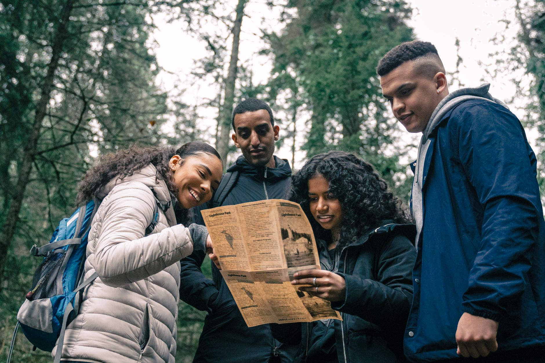
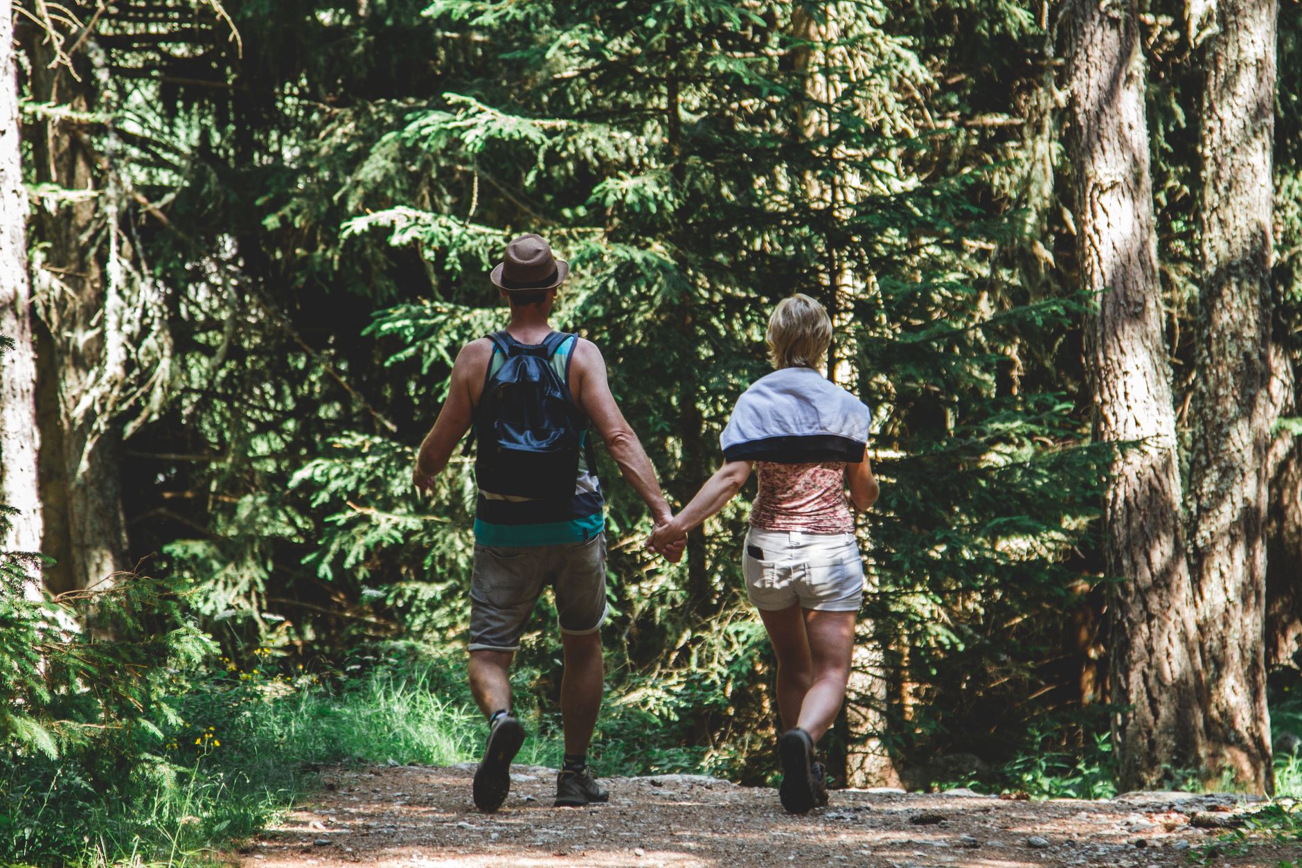
Somewhere between Hajnówka and the Belarus border, the trees get older and the light changes. Białowieża Forest is one of the last and largest primeval lowland forests in Europe — a place where oak and lime and hornbeam have been growing without significant human interference for centuries, and where European bison, brought back from extinction in the 1950s, move through the undergrowth at their own pace.
The forest straddles Poland and Belarus, but the Polish side — anchored by the small village of Białowieża — is where you'll base yourself. The strictly protected core, 4,747 hectares of old-growth woodland, can only be entered with a licensed guide. That constraint is the point.
How Białowieża Forest came to be
People have lived at the edge of this forest for at least 4,500 years. By 1426, King Władysław Jagiełło had a hunting lodge on the Łutownia River, and in 1538 Sigismund I the Old placed the forest under royal protection — one of Europe's earliest conservation laws. The name Białowieża, meaning 'White Tower,' came from the village that grew up in its centre.
World War I was the forest's worst chapter. German occupiers felled vast tracts, installed sawmills and railways, and stripped the fauna so thoroughly that by 1920 the last of 700 European bison was dead. Recovery was slow and deliberate: reserves were established in 1924, a national park in 1934, reopened in 1947 after wartime closure. UNESCO inscribed it as a World Heritage Site in 1979, extending the listing to include the Belarusian side in 1992.
Who and what shaped it
People who shaped it
Landmark buildings
See Białowieża Forest in motion
Plan your visit
On the map
When to go
Winters are cold and often snowy — the forest looks extraordinary under snow but access can be limited. Summer brings warmth and long days, though the canopy stays dense enough to keep the interior cool. May and September offer the best combination of mild temperatures and active wildlife.
Right now
Background & history adapted from Wikipedia (CC BY-SA) · specs from Wikidata (CC0) · weather from Open-Meteo · map data © OpenStreetMap contributors · photos from Wikimedia Commons / Unsplash with per-image credit. No third-party reviews or social posts reproduced.