
Bernese Oberland
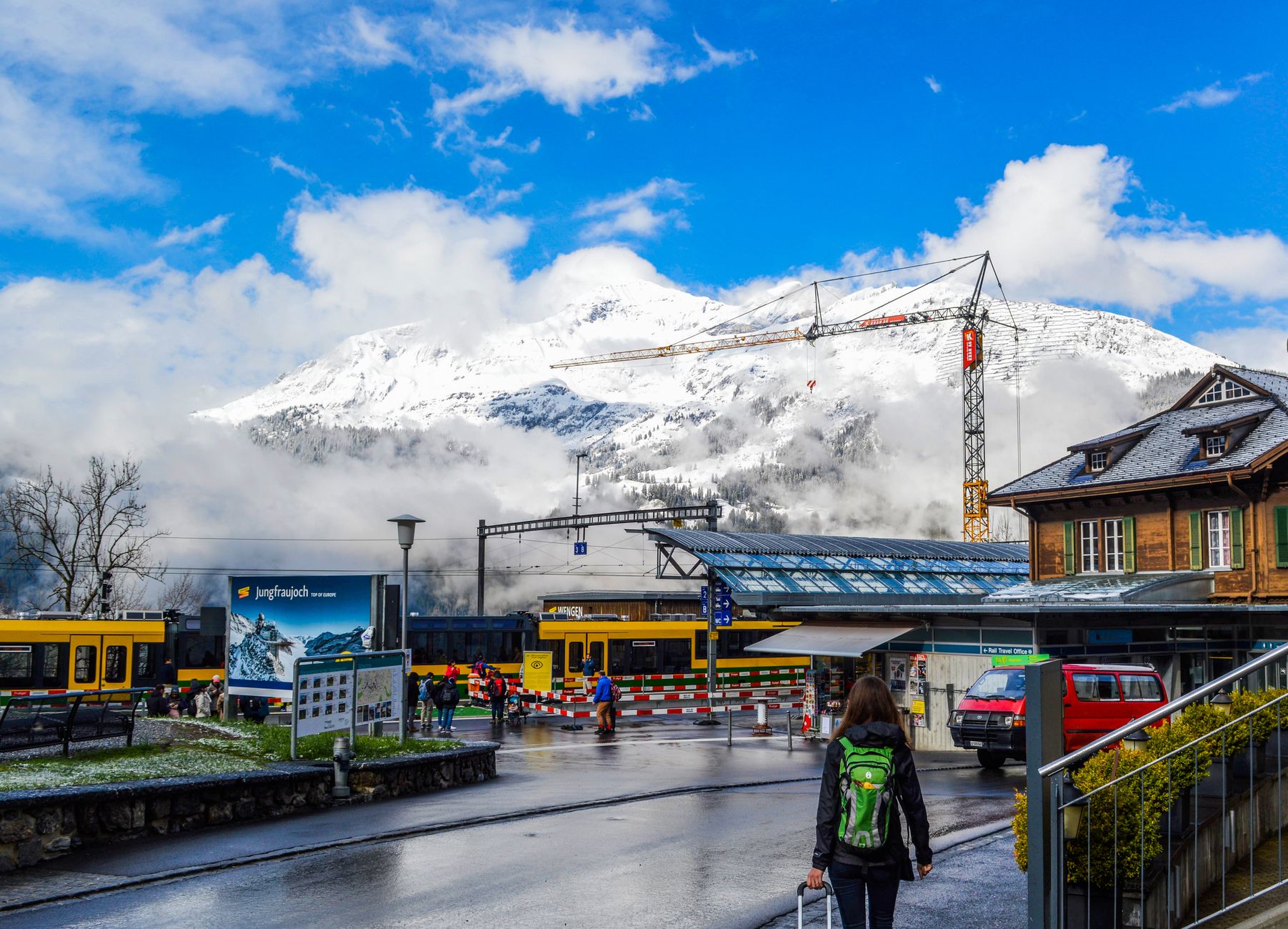
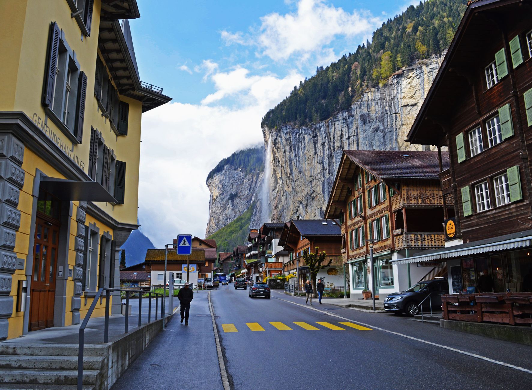
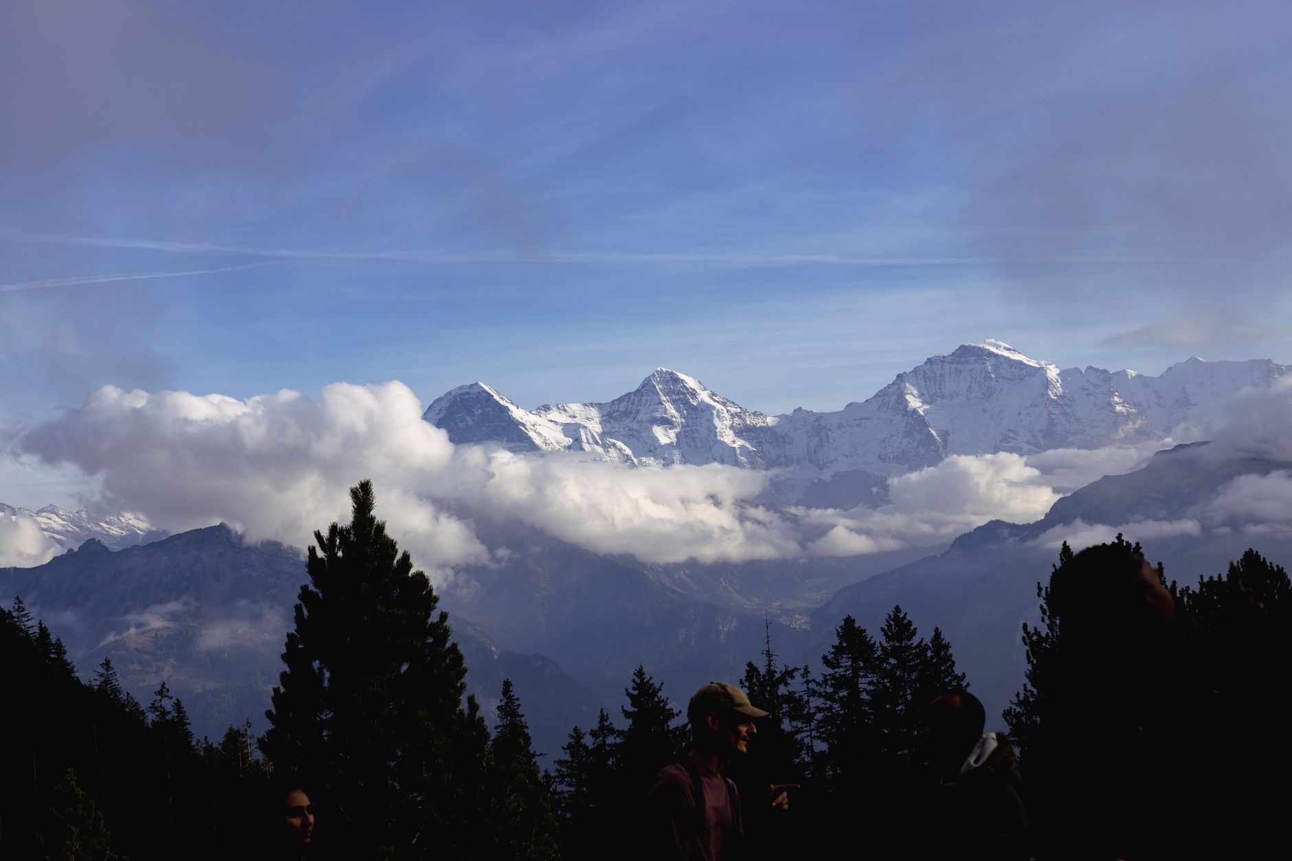
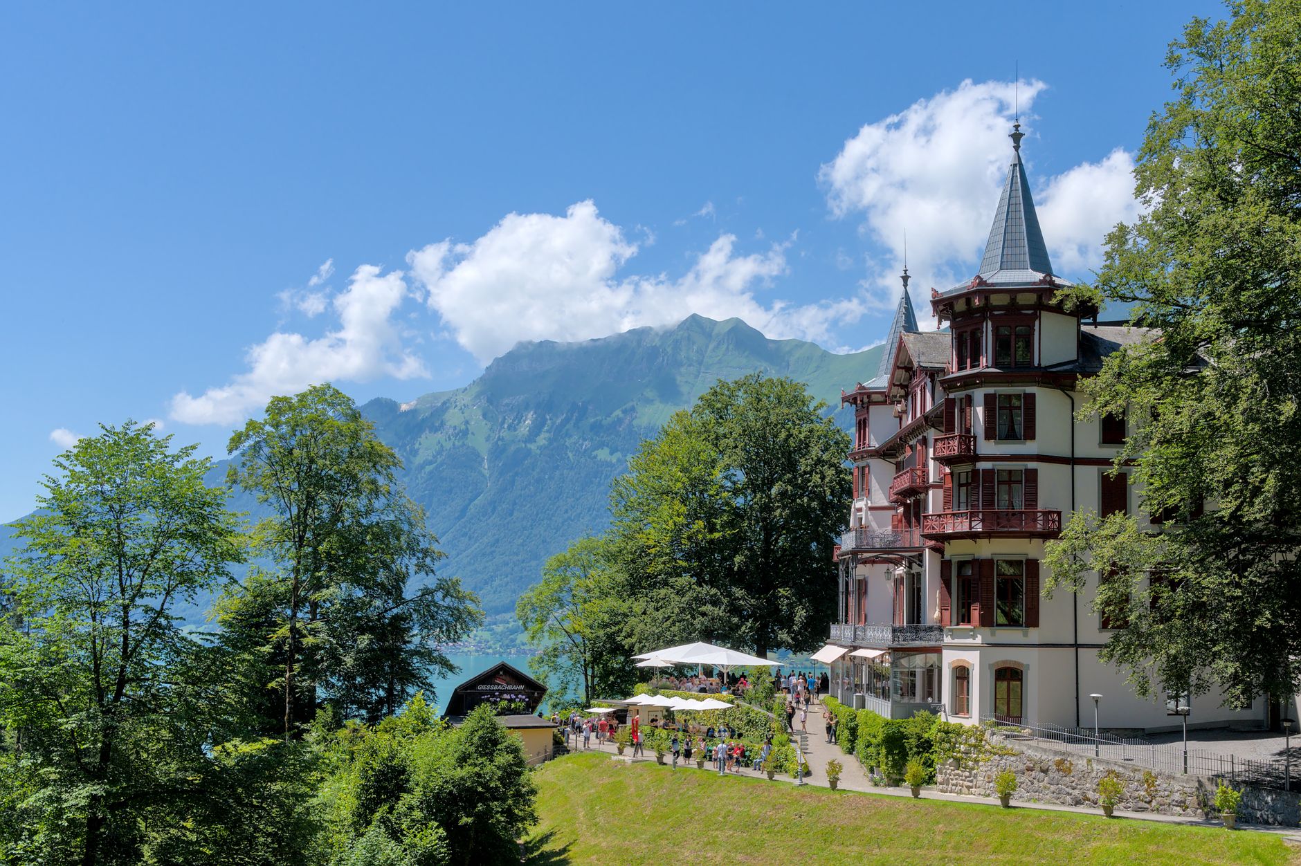
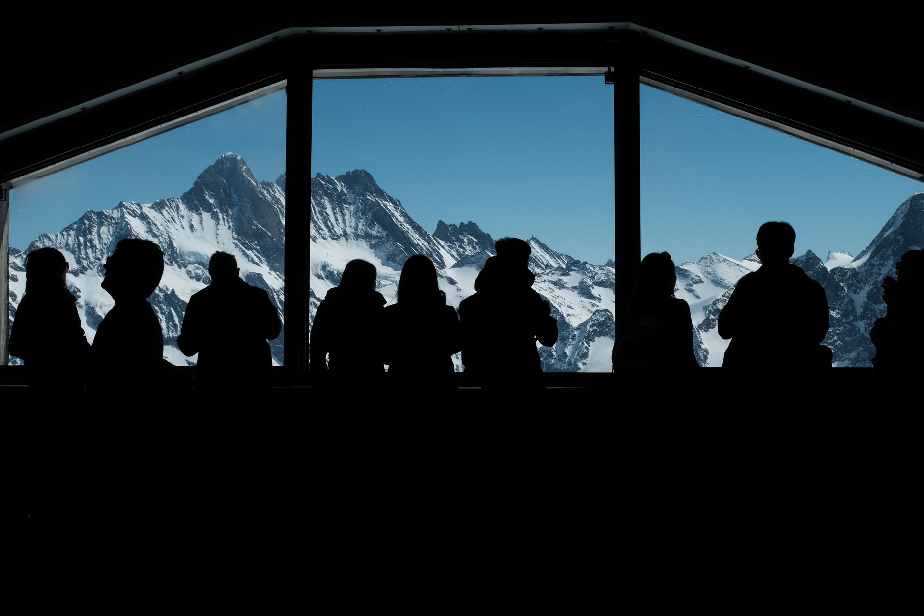
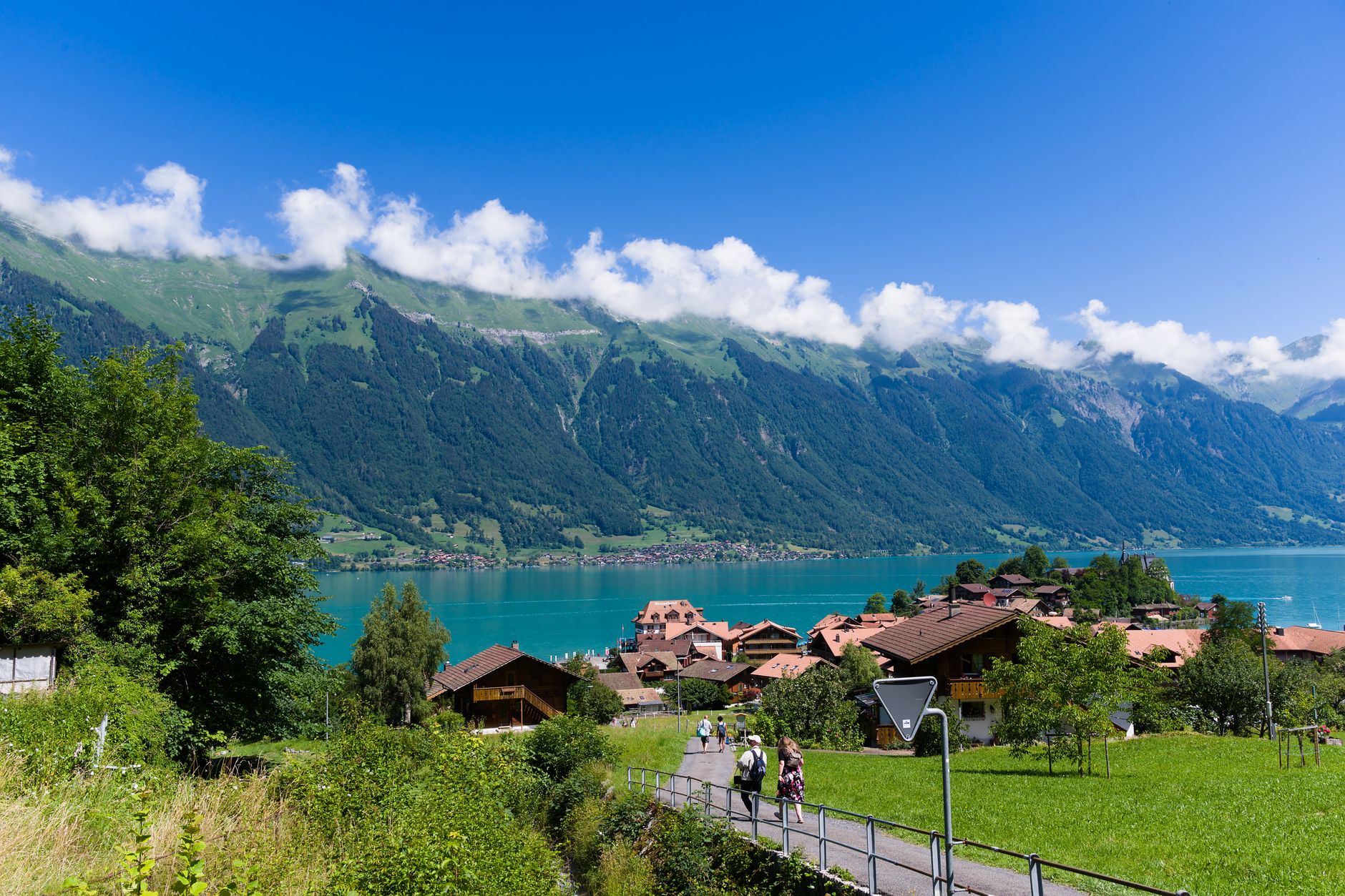
The Bernese Oberland is where Switzerland stops being a country and starts being an argument for something larger. Four peaks above 4,000 metres — the Finsteraarhorn, Jungfrau, Mönch, Eiger — line the southern horizon, and the whole region tilts from the calm shores of Lake Thun and Lake Brienz up through pine forests, past waterfalls, and into glaciers that have been here longer than the villages below them.
Interlaken sits at the hinge of it all, less than an hour from Bern, and from there a lattice of trains, boats, cable cars, and mountain railways fans out toward places some villages you can only reach by leaving your car in the valley. The Jungfrau Railway runs to the highest station in Europe. The Schilthorn's summit restaurant revolves once an hour.
💛 What travellers fall for
People who come back tend to agree on a few things: the Berner Oberland Pass earns its cost if you plan to move around at all — over 60 transport companies, 25-plus mountain railways, boats across both lakes. Take the boat on Lake Brienz at least once. And build in a day with no summit ambitions, just a valley walk and lunch somewhere with a view of the Eiger.
How Bernese Oberland came to be
The Romans settled along the rivers and lakes here first, but the medieval shape of the region came from Burgundy, then the Zähringen dukes, then a scatter of local barons whose names — Oberhofen, Strättligen, Ringgenberg — still appear on castle walls along Lake Thun. Bern absorbed most of the Oberland between 1323 and 1400, buying, inheriting, or simply taking it from lords who had run out of money.
The French invasion of 1798 briefly split the region off as its own canton, though it was folded back into Bern by 1803. The railways changed everything again: the Bern-Lötschberg-Simplon line opened in 1913, and the postwar boom of funiculars and cable cars turned high alpine villages that had been accessible only in summer into year-round destinations. The Meyer family of Aarau reached the Jungfrau's summit in 1811 and sent a deputy to the Finsteraarhorn the following year. Mark Twain came to Interlaken. So did Goethe and Byron.
Who and what shaped it
People who shaped it
Landmark buildings
See Bernese Oberland in motion
Plan your visit
On the map
When to go
Mid-July to late August offers the warmest and most reliable conditions for hiking, with valley highs around 25°C, though May through August is also the wettest stretch — afternoon thunderstorms are common at altitude. Winter brings reliable snow to the high resorts, with February temperatures dropping to around -8°C overnight; spring and autumn sit in between, with fewer crowds and changeable skies.
Right now
Background & history adapted from Wikipedia (CC BY-SA) · specs from Wikidata (CC0) · weather from Open-Meteo · map data © OpenStreetMap contributors · photos from Wikimedia Commons / Unsplash with per-image credit. No third-party reviews or social posts reproduced.