
Belize City
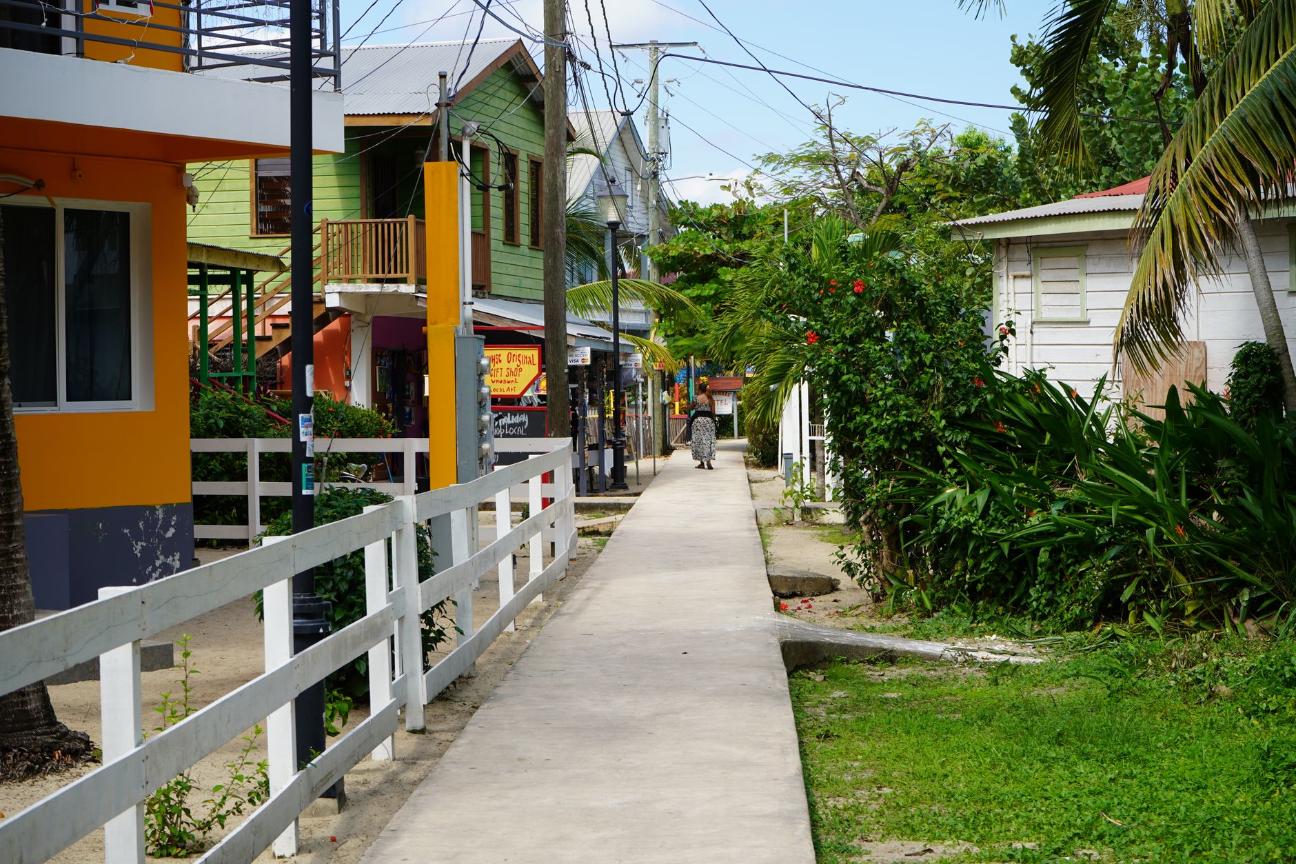

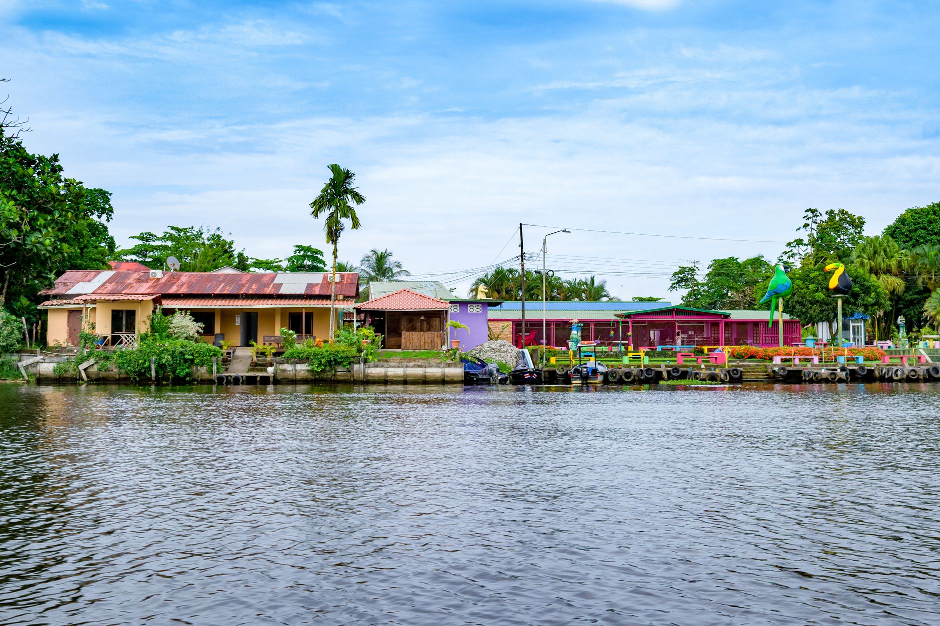
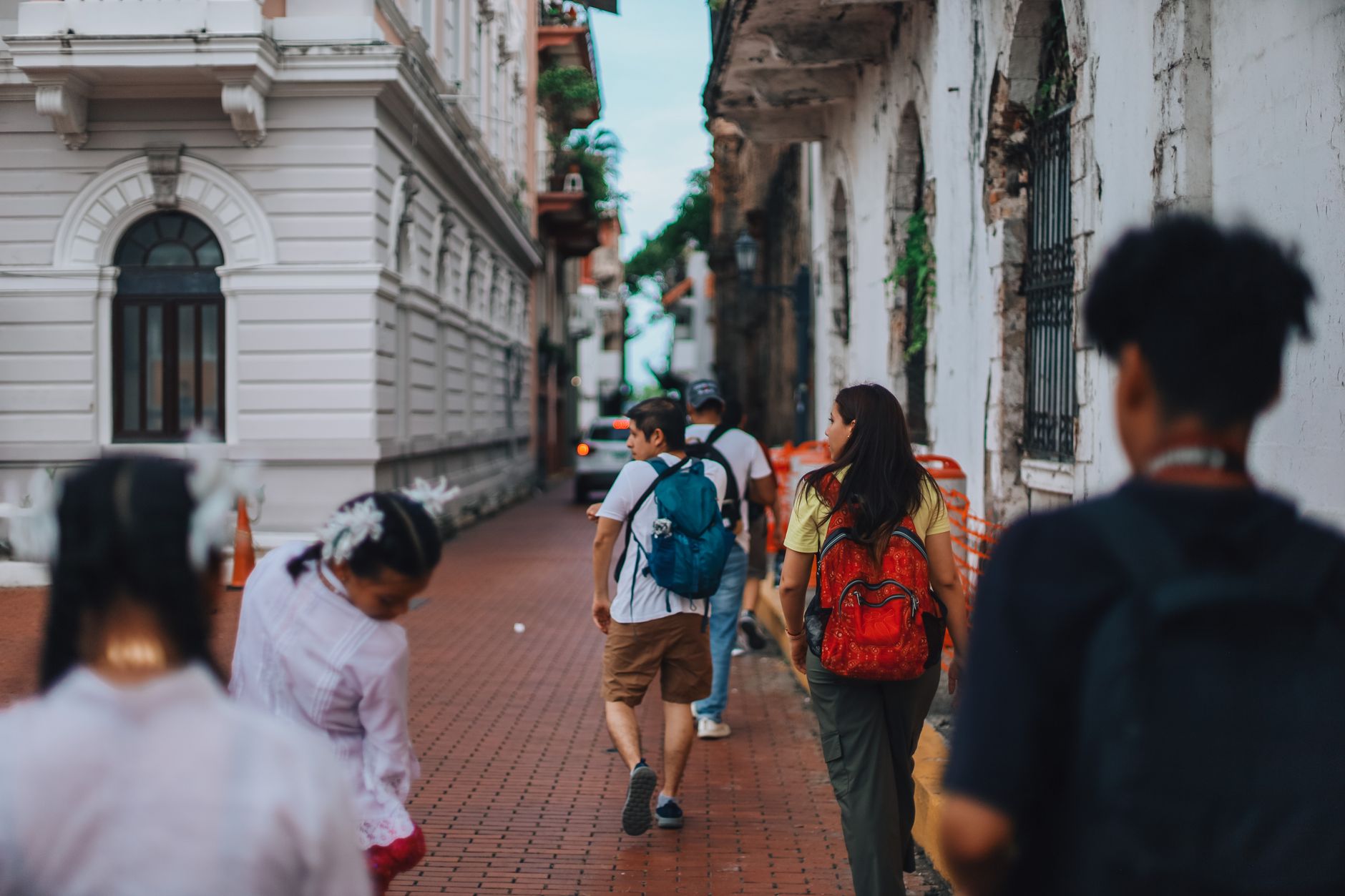
Belize City announces itself through water. Haulover Creek cuts through the middle of town, and the Swing Bridge — manually cranked open twice a day since 1923 — is one of the few of its kind still operating anywhere in the world. The city is compact enough to walk in a morning, yet it holds the country's main international airport, its water-taxi terminals, and the colonial and Creole architecture that the rest of Belize largely lacks.
Most travellers pass through on their way to the cayes or the Maya sites inland, which is understandable. But the Museum of Belize, housed in a former colonial prison from 1857, and St. John's Cathedral — built from ballast bricks that arrived in British ships — are worth the stop before you board your ferry.
How Belize City came to be
English loggers established a trading post here in 1638, drawn by the site's position where local rivers and creeks empty toward the sea — a natural corridor for shipping logwood and mahogany. The settlement was built partly on the labour of enslaved Africans brought in by the British from 1707 onward. In 1798 it served as the coordination point for the Battle of St. George's Caye, in which British settlers and their allies repelled a Spanish invasion.
The city absorbed two catastrophic hurricanes in the twentieth century. The storm of 10 September 1931 killed more than 1,000 people and levelled much of the town. Hurricane Hattie struck in 1961 with similar devastation, and by 1970 the government had relocated the capital inland to the purpose-built city of Belmopan — leaving Belize City as the country's commercial and cultural centre, but no longer its seat of power.
Who and what shaped it
Landmark buildings
See Belize City in motion
Plan your visit
On the map
When to go
Temperatures hold steady between 24 and 28 °C year-round, so heat is never a surprise. The dry season runs roughly December through May — March is the driest month — while the wet season stretches June through November, with September and October carrying the highest hurricane risk.
Right now
Background & history adapted from Wikipedia (CC BY-SA) · specs from Wikidata (CC0) · weather from Open-Meteo · map data © OpenStreetMap contributors · photos from Wikimedia Commons / Unsplash with per-image credit. No third-party reviews or social posts reproduced.