
Belize Barrier Reef
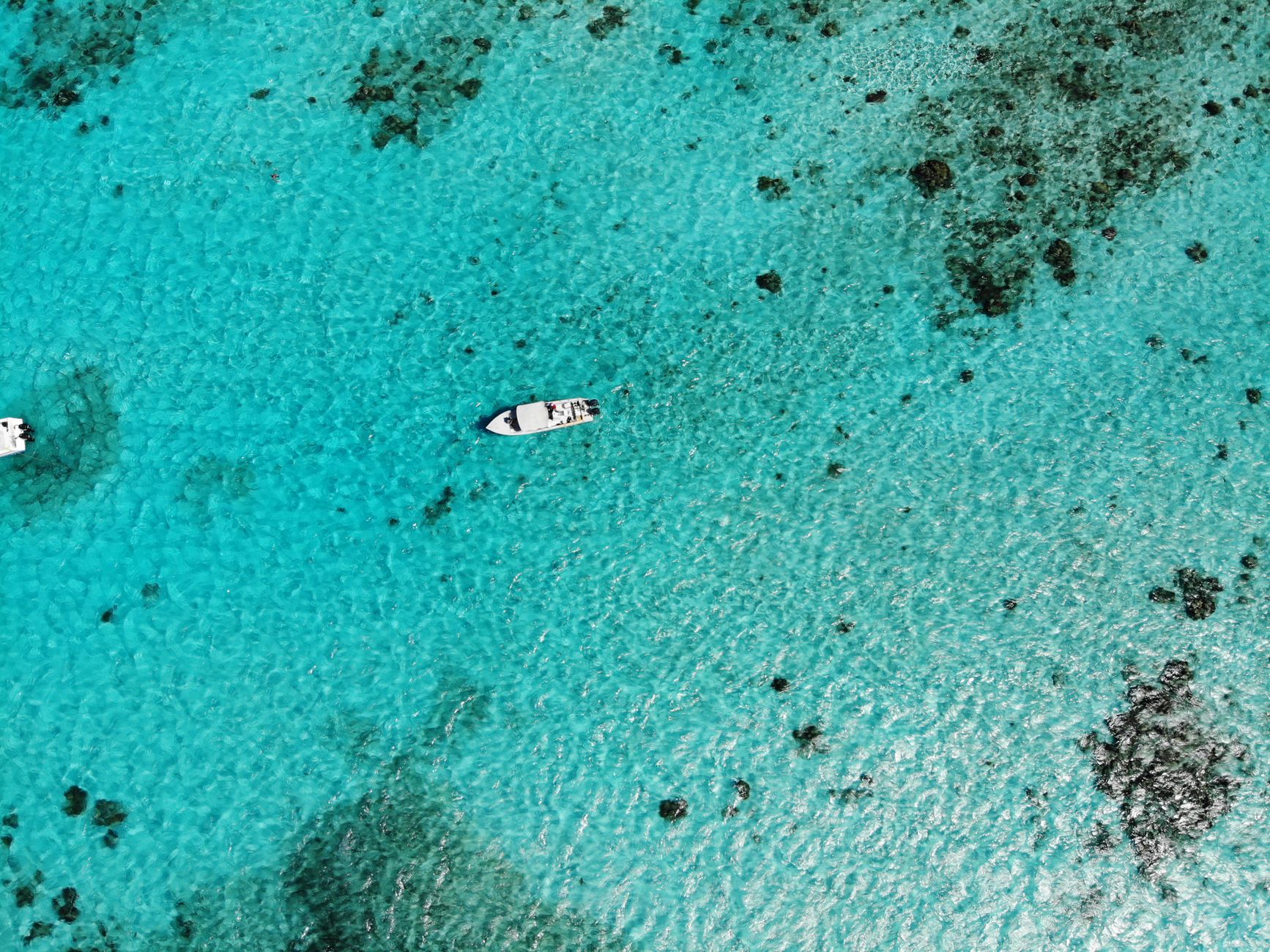
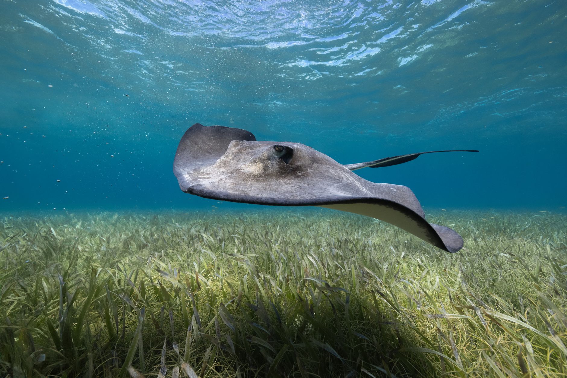
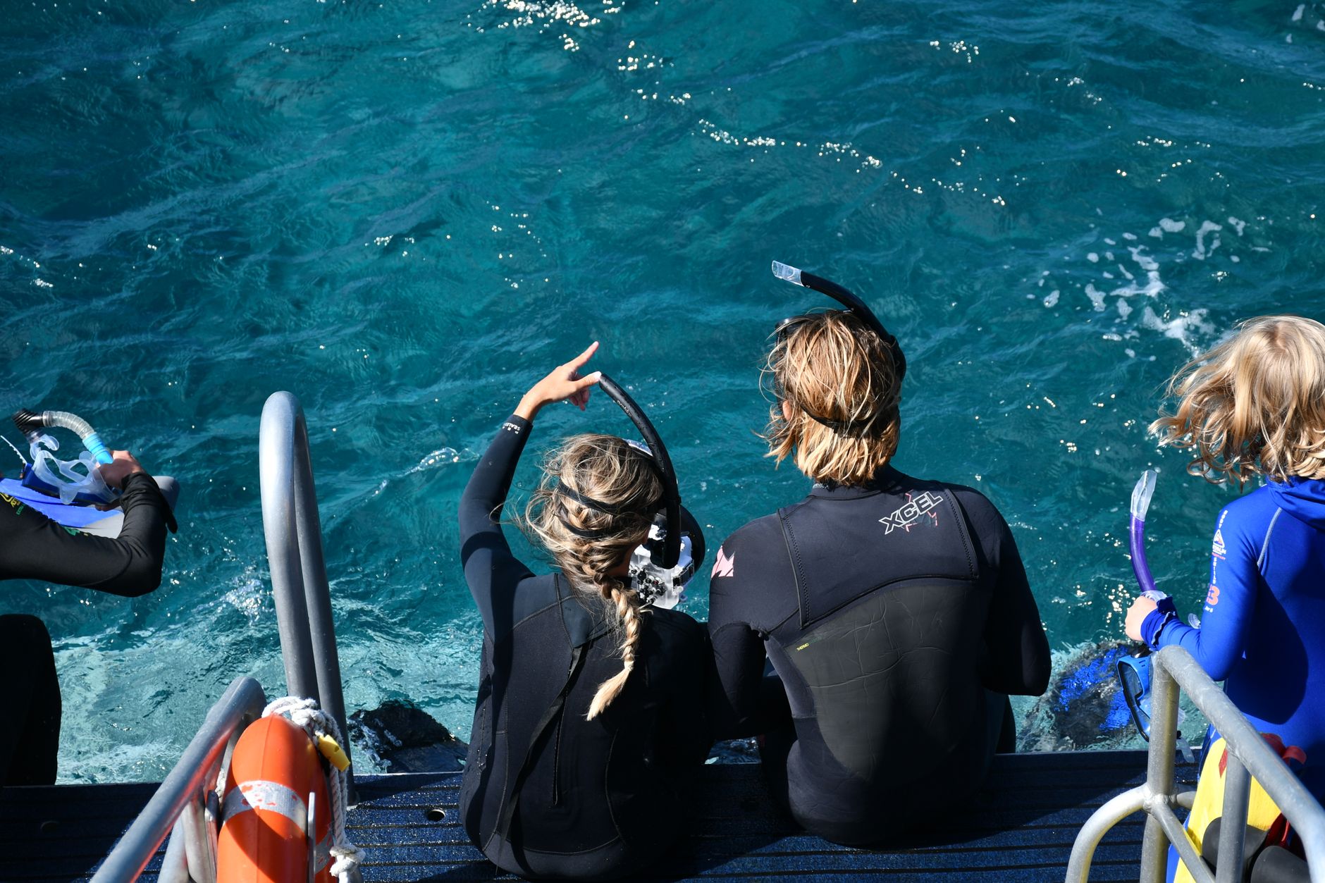
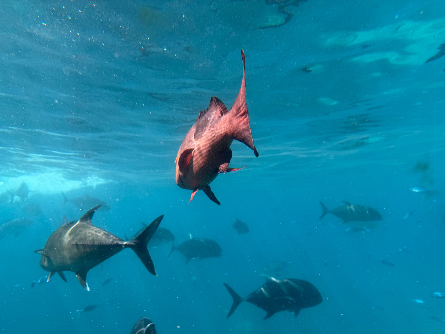
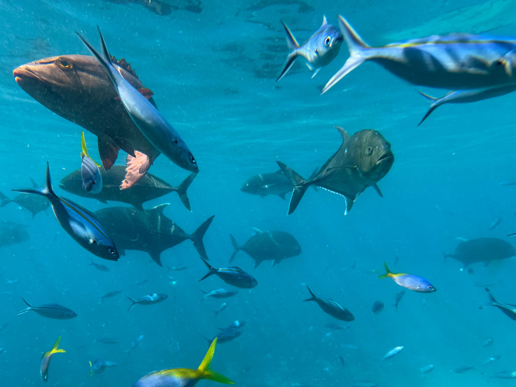
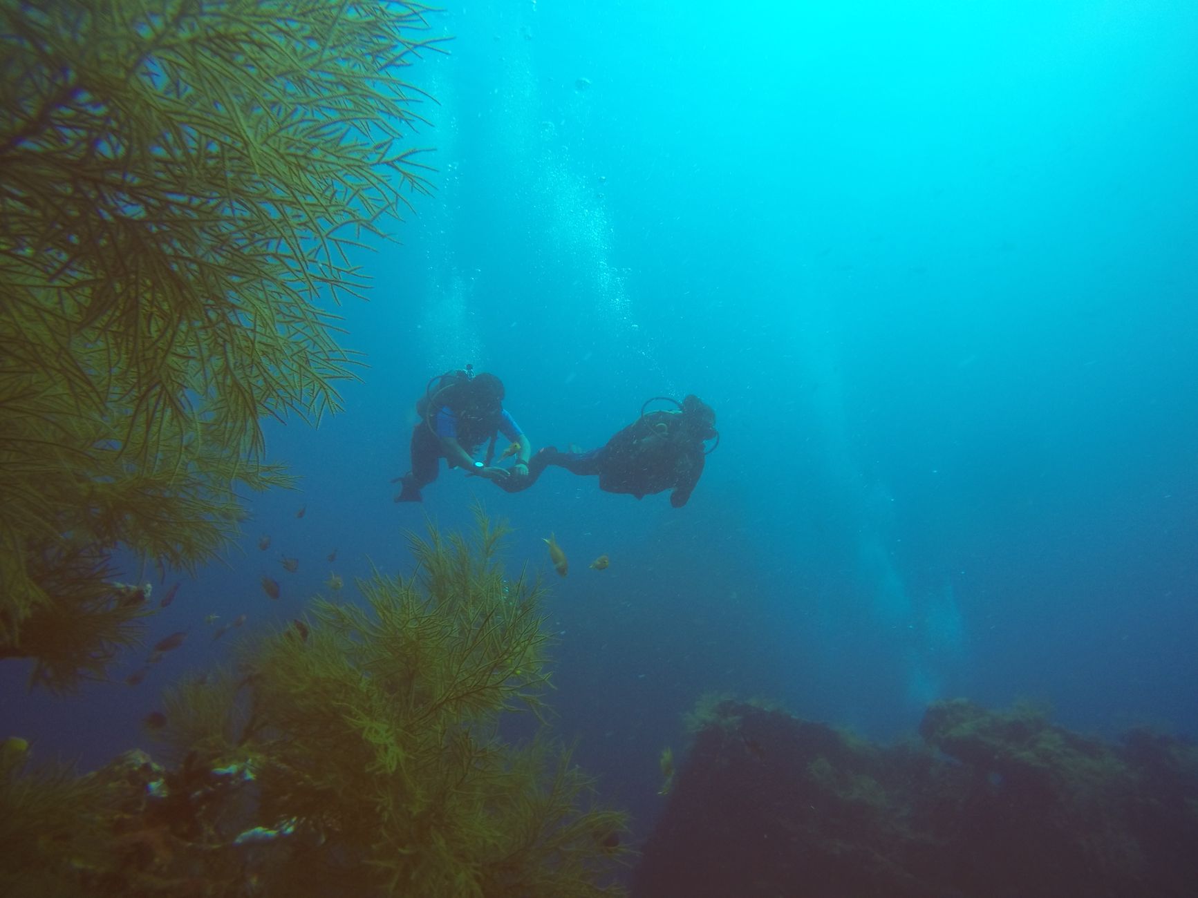
The Belize Barrier Reef runs for nearly 300 kilometres along the country's Caribbean coast, making it the largest reef system in the Northern Hemisphere. It is a place where the sea floor drops away suddenly, where whale sharks pass through on a seasonal schedule, and where three offshore atolls — Turneffe, Glover's Reef, Lighthouse Reef — sit far enough out that the water around them turns a deep, serious blue.
Seven protected marine reserves form the UNESCO World Heritage core, and the reef's most photographed feature, the Great Blue Hole at Lighthouse Reef, is an ancient limestone sinkhole roughly 300 metres across. The cayes scattered along its length range from the well-connected (Ambergris, Caye Caulker) to barely-a-sandbar outposts that appear on few maps.
How Belize Barrier Reef came to be
When the last Ice Age ended roughly 10,000 years ago, rising seas flooded the coastal shelf and the reef began to form. Long before European contact, Mayan traders were working these waters — fishing, establishing ceremonial sites on the cayes, and, between 700 and 900 A.D., cutting the Bacalar Chico channel through the northwestern tip of Ambergris Caye to speed trans-shipment routes serving the city-state of Santa Rita.
Charles Darwin called it "the most remarkable reef in the West Indies" in 1842. Jacques Cousteau brought the Great Blue Hole to global attention in 1970. UNESCO inscribed the reef as a World Heritage Site in 1996, then placed it on the List of World Heritage in Danger in 2009 over concerns about mangrove destruction, offshore drilling, and unsustainable development. Belize responded: a complete ban on bottom trawling came in December 2010, followed by a ban on offshore oil drilling within one kilometre of the reef in December 2015. The site has since been removed from the danger list.
Who and what shaped it
People who shaped it
Landmark buildings
See Belize Barrier Reef in motion
Plan your visit
On the map
When to go
Temperatures range from around 16 °C in winter to 31 °C in summer, with the dry season running roughly February through May — the window when seas are calmest and visibility underwater is at its best. Hurricane season runs June through November, with September and October carrying the highest risk of significant weather.
Right now
Background & history adapted from Wikipedia (CC BY-SA) · specs from Wikidata (CC0) · weather from Open-Meteo · map data © OpenStreetMap contributors · photos from Wikimedia Commons / Unsplash with per-image credit. No third-party reviews or social posts reproduced.