
Bayahíbe
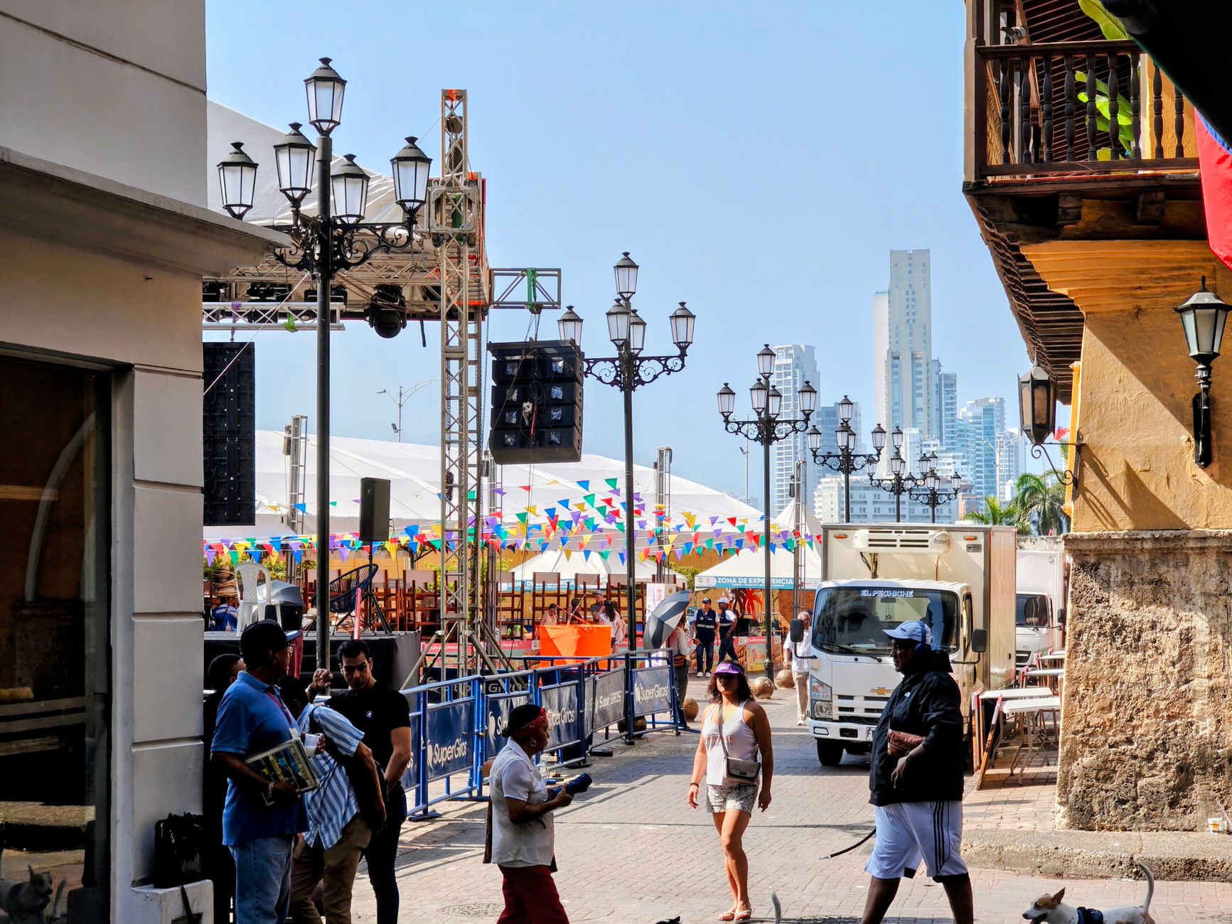
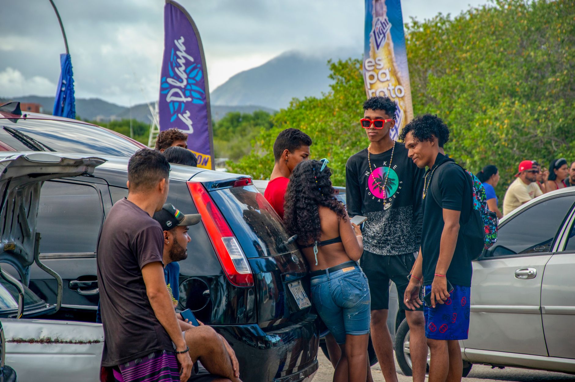
Bayahíbe started as a fishing village and, in many ways, still feels like one. The main road into town — Carretera a Bayahíbe — leads you past a supermarket and a colmado that doubles as a social hub after dark, where locals and visitors end up sharing the same corner of pavement. The public beach is less than a mile from the center, and you can walk to most things worth walking to.
What sets Bayahíbe apart from the resort corridor nearby is its scale: 5,600 people, a handful of streets, boats heading out to Saona Island each morning. It's the embarkation point for Parque Nacional Cotubanamá, and underground, Cueva del Puente holds 55 rock art paintings across three levels of cave paths.
💛 What travellers fall for
Return visitors tend to mention the colmado on the side street off Carretera a Bayahíbe — the one near the ice-cream shop. Go in the evening, when it stops being a grocery counter and becomes something closer to a neighborhood gathering. The $1–2 taxi ride to Dominicus Beach is worth knowing about; walking it in midday heat is less so.
How Bayahíbe came to be
In 1874, Juan Brito and his family arrived from Puerto Rico and founded what would become Bayahíbe — a name drawn from the indigenous word for a bivalve mollusk that clings to mangrove roots and rocks along this coast. For most of its history the village stayed small, oriented around fishing and the sea.
The first recorded European presence here was Christopher Columbus, who passed through during his second voyage in 1494. Organized tourism came much later: it wasn't until 1990 that guided excursions into what is now Parque Nacional Cotubanamá — established in 1975 — began departing from the village. That shift gradually reshaped Bayahíbe without entirely erasing what it had been.
Who and what shaped it
People who shaped it
Landmark buildings
See Bayahíbe in motion
Plan your visit
On the map
When to go
The dry season, November through April, brings the most reliable sunshine alongside occasional showers — the better window for diving, cave visits, and the boat run to Saona. May through October is hotter and wetter, with hurricane risk peaking July to October; the rain comes in bursts rather than all day, but it's worth factoring in.
Right now
Background & history adapted from Wikipedia (CC BY-SA) · specs from Wikidata (CC0) · weather from Open-Meteo · map data © OpenStreetMap contributors · photos from Wikimedia Commons / Unsplash with per-image credit. No third-party reviews or social posts reproduced.