

City

Bathsheba

Bathsheba
Photo by Jing Zhan on Pexels
Bathsheba
Photo by Сокіл Sokil on Pexels
Bathsheba
Photo by Matheus Bertelli on Pexels
Bathsheba
Photo by Haley Black on Pexels
Bathsheba
Photo by Saksham Vikram on Pexels

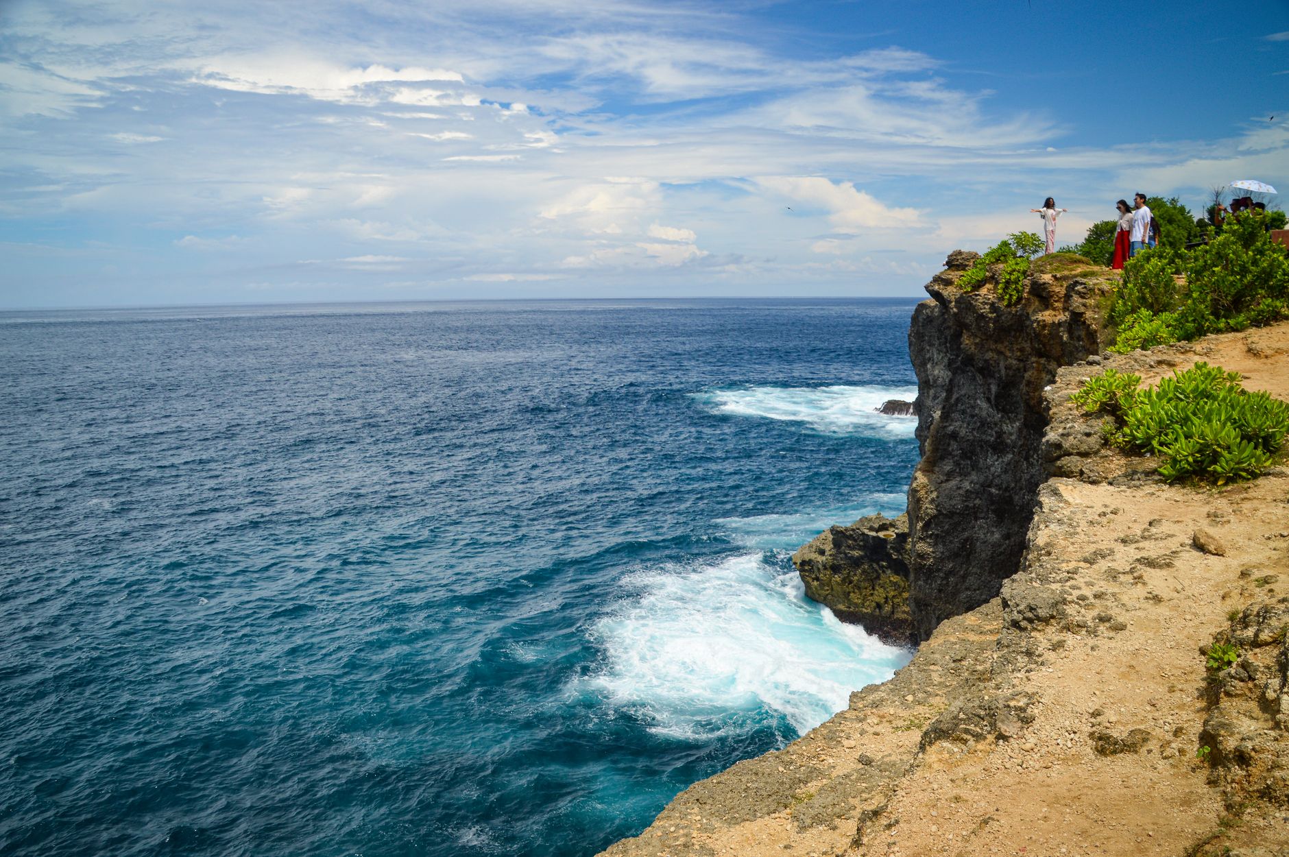
Stand at Bathsheba Park on the east coast of Barbados and the Atlantic arrives without apology — long, grey-green swells that have crossed thousands of miles of open ocean before detonating on the Soup Bowl reef. The air here carries what locals call salt haze, a soft-focus mist thrown up where seawater meets limestone, and it gives the whole village a slightly dreamlike quality that has nothing to do with filters.

Bathsheba is a fishing village of around five thousand people in Saint Joseph Parish, and it operates on a different register from the resort-lined west coast. Cricket happens on the park lawn. Vendors sell cloth and crafts near the public washrooms. The big boulder sitting offshore — Bathsheba Rock — anchors every photograph of the place, unmoved by any of it.

💛 What travellers fall for

People who keep coming back tend to time a low-tide morning for the limestone pools — the so-called Milk Baths, where calcium carbonate foam collects and the water is calm enough to soak in while the Soup Bowl throws itself apart twenty metres away. A rum punch from a park vendor while the pools fill is as Bajan an afternoon as it gets.

Good to know
From Bridgetown, allow forty to sixty minutes by car or taxi; public buses run but are infrequent. Grantley Adams airport is roughly a thirty-to-forty-minute drive. Do not swim in the open ocean — the rip currents are serious. Use the limestone pools at low tide instead. December through April offers the driest weather and the most consistent surf.

Deals in Bathsheba

Book directly at the provider
The story

How Bathsheba came to be

The church on Horse Hill — Saint Joseph Anglican — dates to 1640, making it one of the oldest ecclesiastical structures on the island. The 1831 hurricane levelled it; the rebuilt version went up in 1839. Six years earlier, Little Saint Joseph Chapel had been constructed just down the slope, only to be damaged by a landslide and rededicated, as Saint Aiden's, in 1904. These two buildings bracket a century of Atlantic weather doing what Atlantic weather does.

By the early 1900s Bathsheba was being promoted as a health resort, its calcium-rich pools drawing visitors from across the island. A narrow-gauge railway — twenty-four miles of track connecting Bridgetown up the east coast — brought them here until the line closed in 1937. Decades later, surfers arrived for the Soup Bowl reef break, and Bathsheba quietly became known to a different kind of traveller entirely.

People & landmarks

Who and what shaped it

People who shaped it

Iris Bannochie
Founded Andromeda Botanical Gardens in 1954, establishing the 600+ plant species collection on Bathsheba's outskirts.

Landmark buildings

Saint Joseph Anglican Church
Built 1640 on Horse Hill, rebuilt 1839 after 1831 hurricane; one of Barbados's oldest ecclesiastical structures.
Little Saint Joseph Chapel
Built 1837, damaged by landslide, restored and rededicated as Saint Aiden's in 1904.
Andromeda Botanical Gardens
600+ plant species and 60+ palm varieties; founded 1954, admission valid 30 days with unlimited returns.
Cotton Tower
Old signal station offering views of Scotland District.
Joe's River Tropical Rainforest
85 acres of woodland and rainforest on village outskirts.
Watch

See Bathsheba in motion

Practical

Plan your visit

On the map

When to go

Temperatures sit between 75°F and 86°F year-round, but the east-coast wind is constant and strong enough to reshape your plans. February is the driest month; August can see rain on nearly twenty-five days. The dry season, December through April, is the most comfortable time to visit and coincides with the best surf windows for experienced riders.

Right now

27°C
Partly cloudy
Fri
🌧️
31°
25°
Sat
🌧️
30°
25°
Sun
🌧️
31°
26°
Mon
🌧️
31°
25°
Weather data: Open-Meteo

Background & history adapted from Wikipedia (CC BY-SA) · specs from Wikidata (CC0) · weather from Open-Meteo · map data © OpenStreetMap contributors · photos from Wikimedia Commons / Unsplash with per-image credit. No third-party reviews or social posts reproduced.

Top