
Baracoa
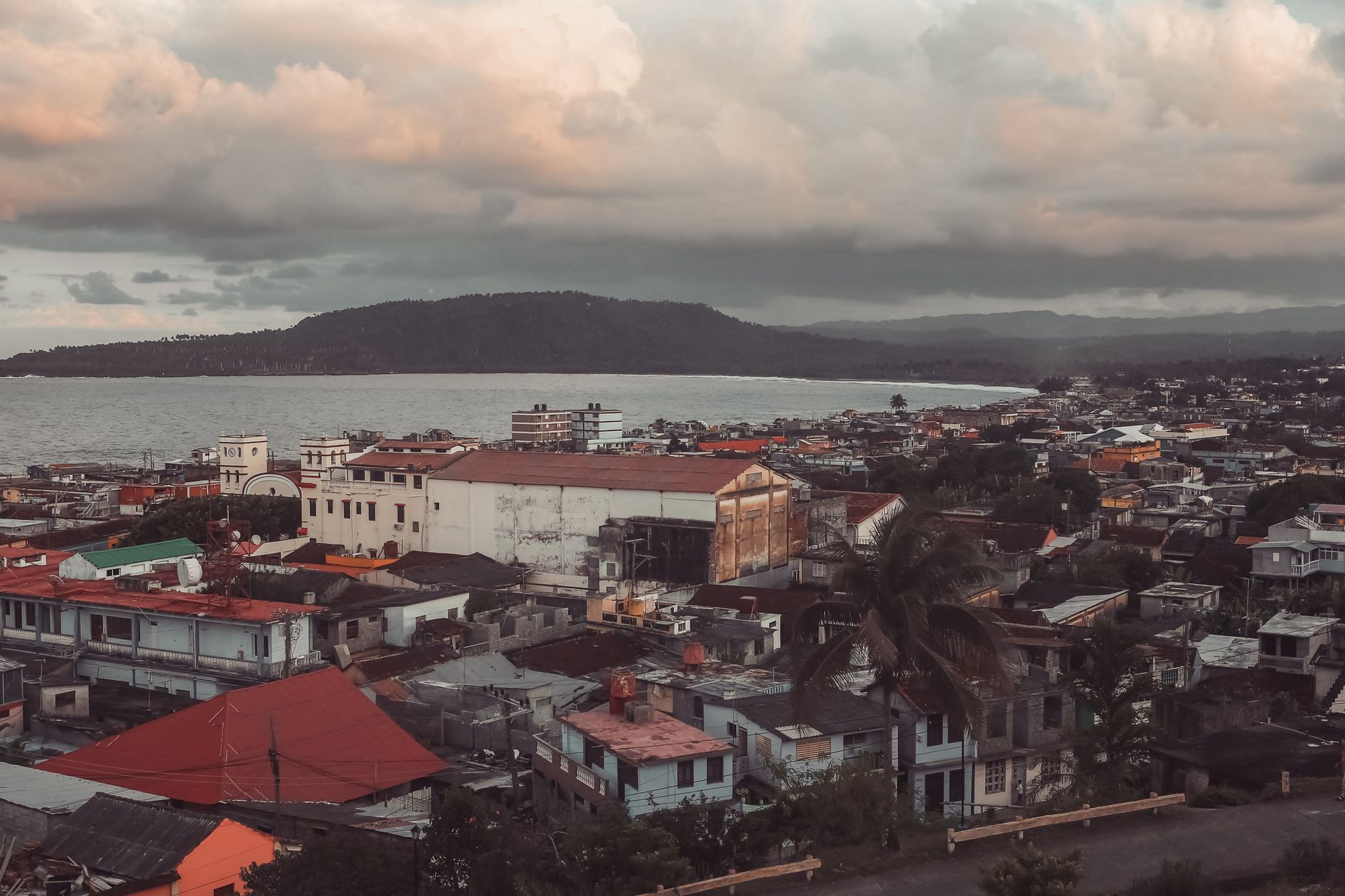

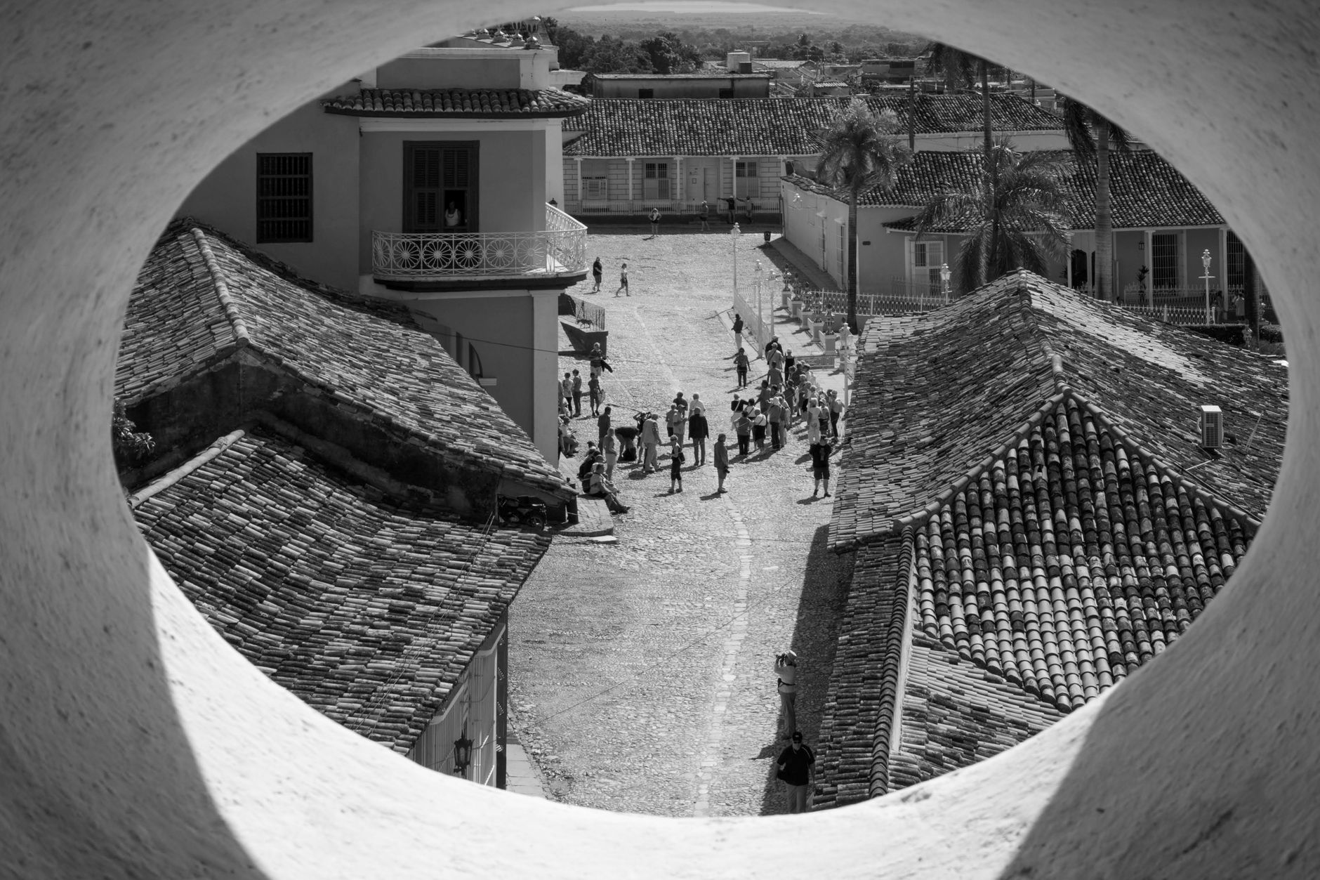
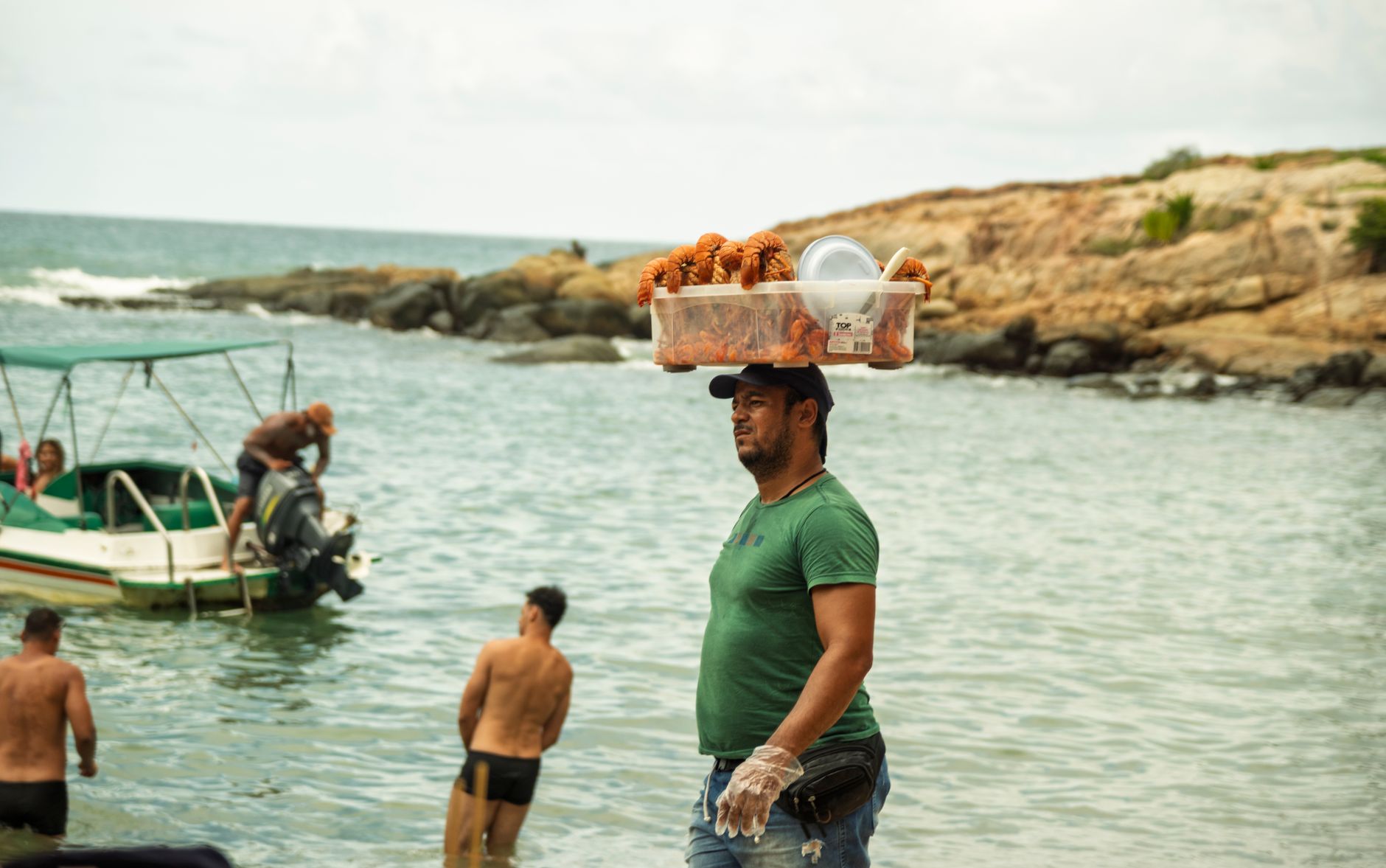
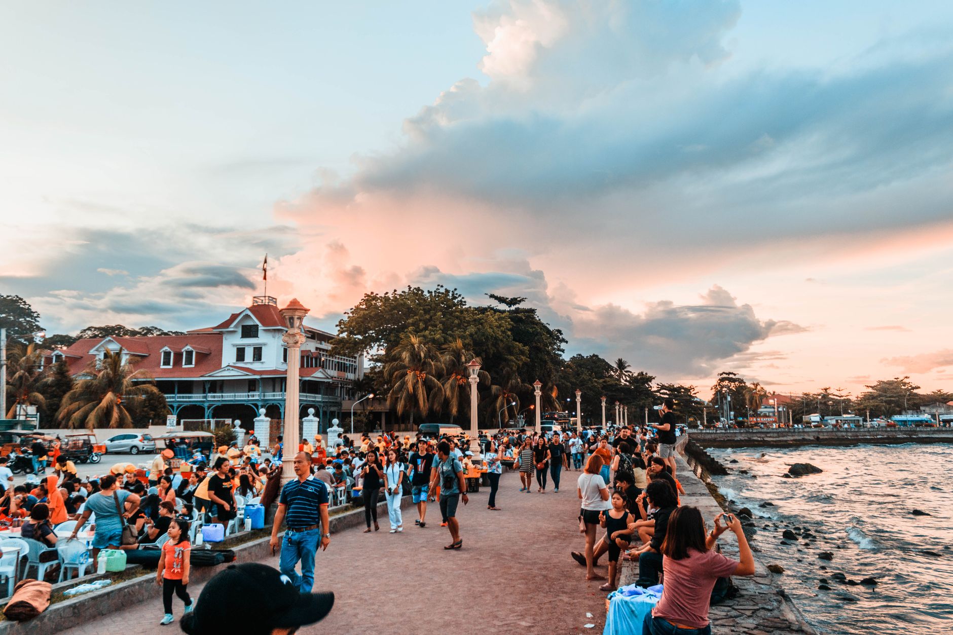
Cuba's oldest Spanish settlement sits at the far eastern tip of the island, cut off from the rest of the country by a wall of mountains and reached by a single dramatic road — La Farola — that corkscrews for 120 kilometres over peaks and bridges before descending into town. That isolation shaped everything: the wooden architecture with its wide verandas and peeling paint, the local chocolate and coconut-based food that tastes unlike anything else on the island, and a pace of life that the rest of Cuba largely left behind.
Baracoa is compact enough to walk end to end, from the Malecón along the waterfront to the cathedral on the square, yet the surrounding landscape — rivers, rainforest, and the flat-topped mountain El Yunque rising to 575 metres — pulls you outward whenever the streets feel small.
How Baracoa came to be
Diego Velázquez de Cuéllar founded the settlement on 15 August 1511, making it the first permanent Spanish town in Cuba. It served as the island's capital until 1522, and in 1518 received its first bishop. The isolation that later became its defining characteristic also made it useful: through the 17th and 18th centuries, merchants quietly traded with French and British ships beyond Spanish oversight.
At the turn of the 19th century, refugees from the Haitian Revolution arrived and planted coffee and cocoa in the surrounding hills — crops whose descendants still grow there. Decades later, independence fighters including Antonio Maceo and José Martí landed on these shores, using Baracoa as a staging point for the campaign that eventually ended Spanish rule in 1902. The town was declared a national monument in 1949.
Who and what shaped it
People who shaped it
Landmark buildings
See Baracoa in motion
Plan your visit
On the map
When to go
Baracoa has a true tropical rainforest climate — warm and humid all year, with daytime temperatures running from around 27°C in February to 32°C in August. October through December brings the heaviest rainfall, and the eastern tip of Cuba sits squarely in the path of Atlantic hurricanes between August and October; January to April is the window when conditions are most reliably pleasant.
Right now
Background & history adapted from Wikipedia (CC BY-SA) · specs from Wikidata (CC0) · weather from Open-Meteo · map data © OpenStreetMap contributors · photos from Wikimedia Commons / Unsplash with per-image credit. No third-party reviews or social posts reproduced.