
Bandipur
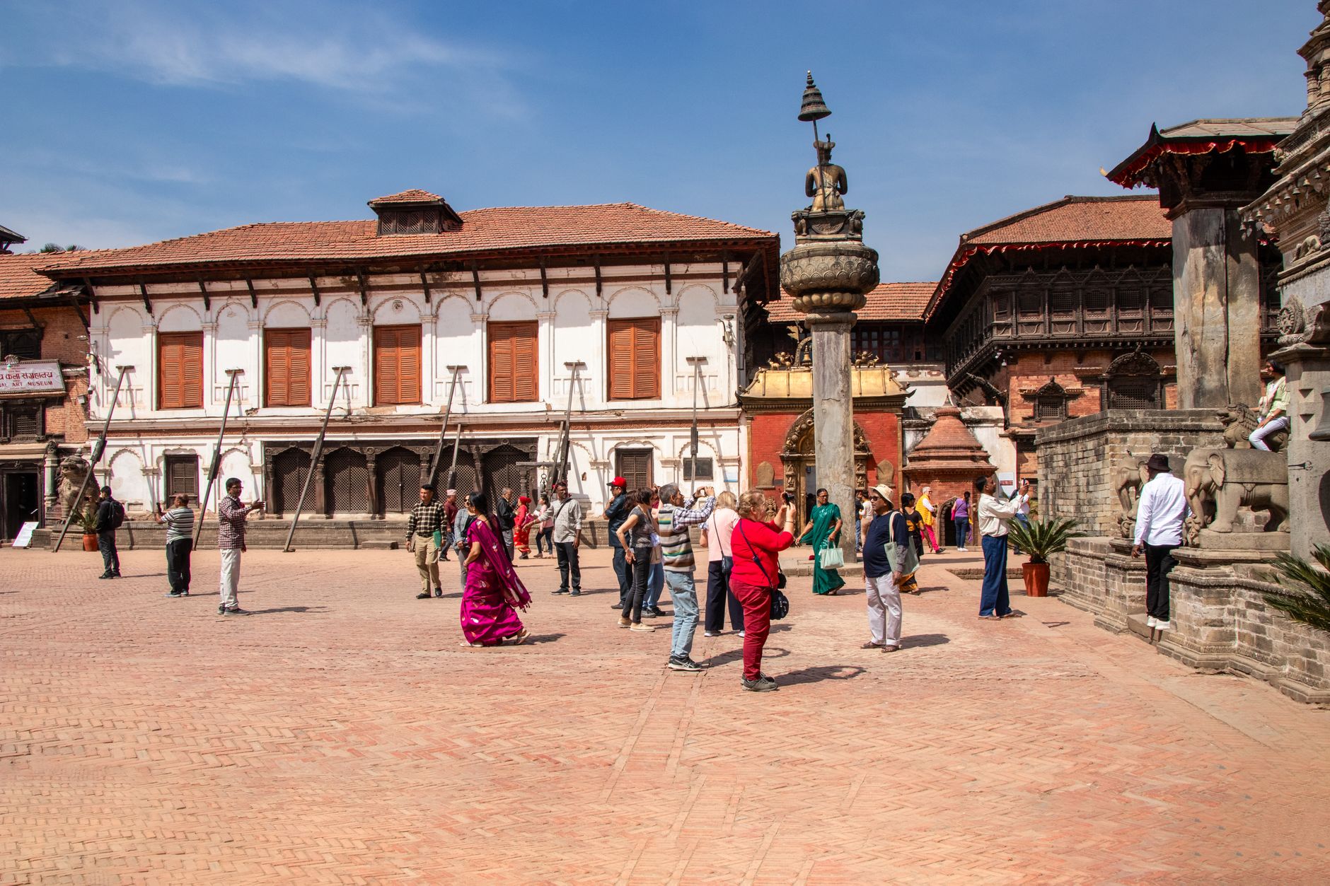
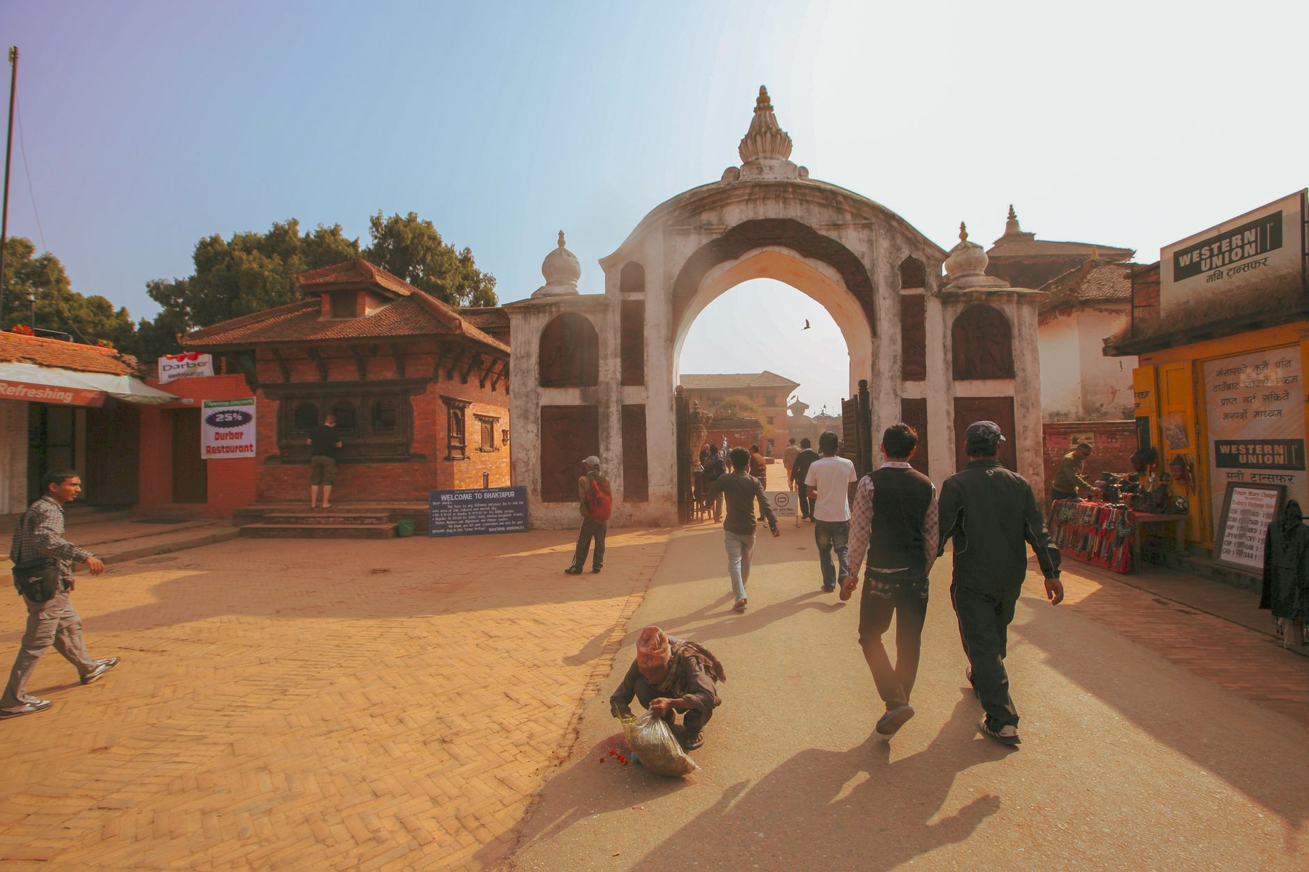
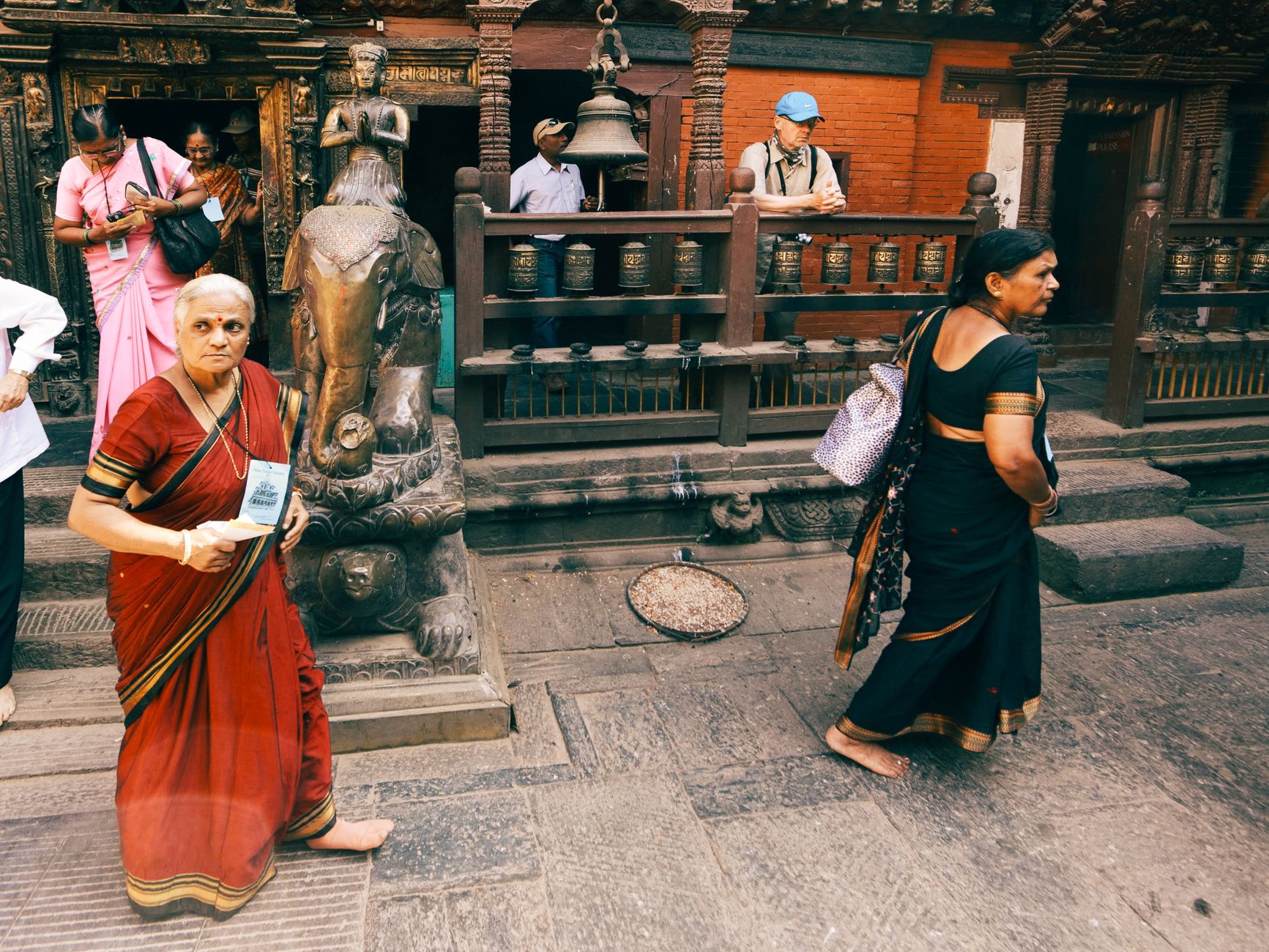
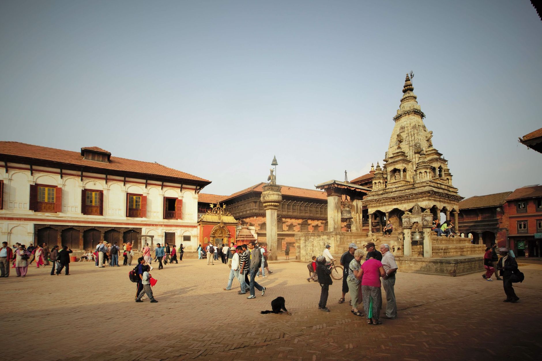
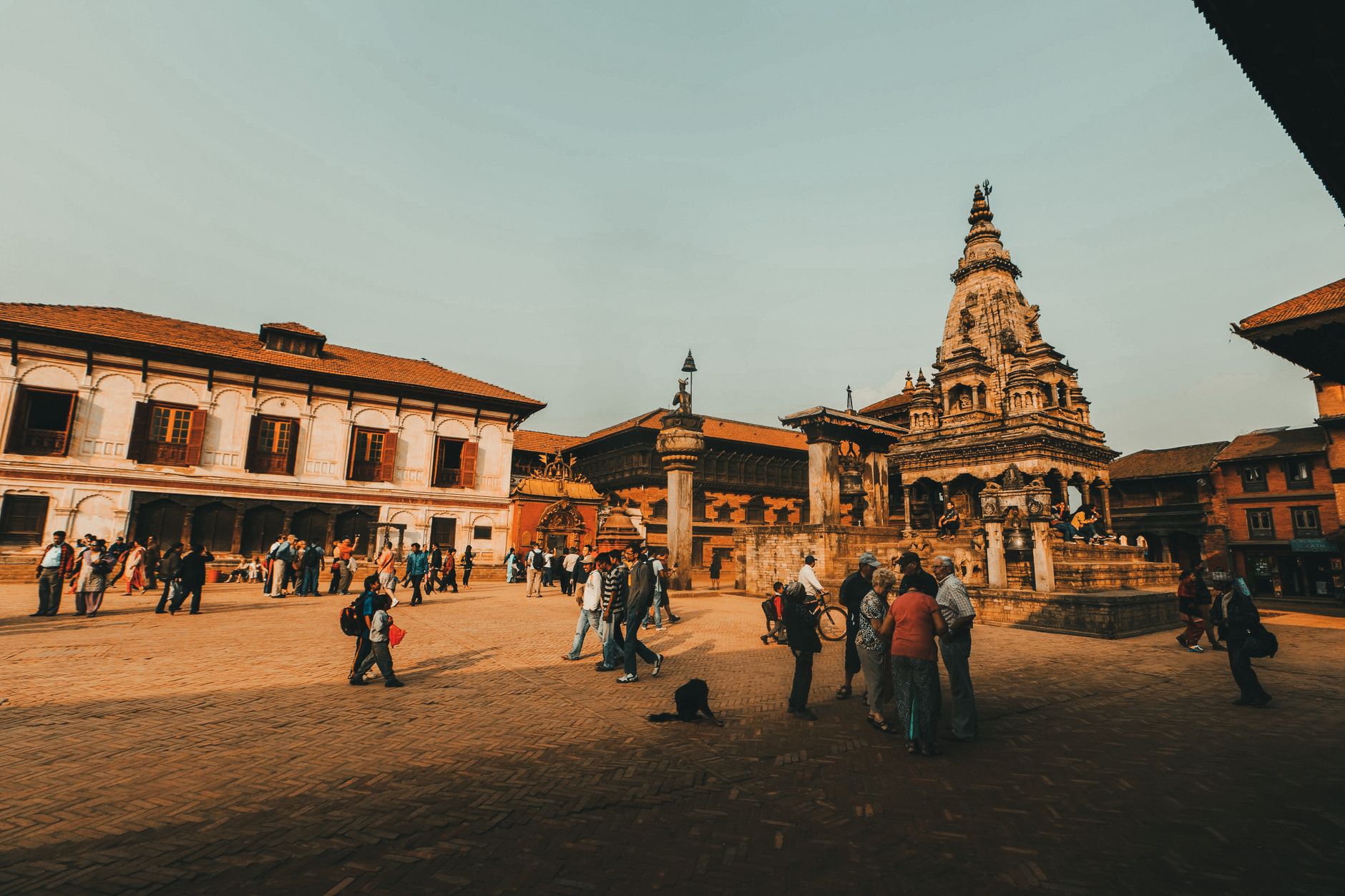
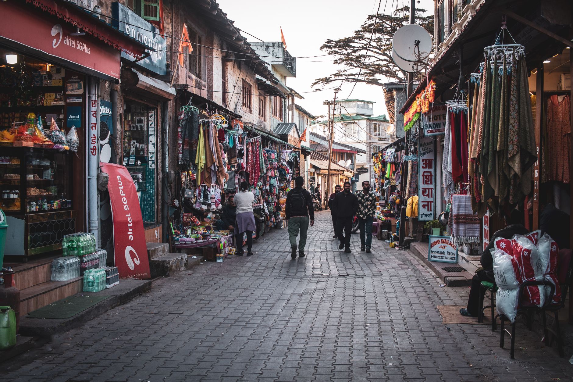
Bandipur sits on a mountain saddle in the Mahabharat range, 700 metres above the Marsyangdi River Valley, and its main street is exactly 200 metres long. That's the whole town, more or less — a single pedestrian lane flanked by two- and three-storey Newari townhouses, their carved wooden balconies unchanged since the 18th century. No cars pass through. The Himalayas, on a clear morning, fill the northern horizon.
What you find here is a place that was accidentally preserved. When the Kathmandu–Pokhara highway bypassed the ridge in the 1970s, Bandipur's trade collapsed — and its architecture survived. Two to three days is the right amount of time: long enough to hike up to Thani Mai temple, descend into Siddha Cave, and sit in the quiet of a town that has largely been left alone.
How Bandipur came to be
After Prithvi Narayan Shah conquered Bhaktapur in 1768, Newar traders from that city moved west and built Bandipur into a staging post on the India–Tibet trade route. The ridge was high enough to be free of malaria, the saddle wide enough for a market street, and for roughly two centuries the town prospered on the commerce passing through.
The Kathmandu–Pokhara highway, completed in the 1970s, ran through the Marsyangdi valley below rather than over the ridge, and trade evaporated almost overnight. The Padma Library — one of Nepal's oldest, founded in 1994 BS (around 1937 AD) during the reign of Padma Sumsher — still stands at the centre of the bazaar, carefully renovated in 2000. The town became a municipality in June 2014, with a population of around 10,000 Newars.
Who and what shaped it
People who shaped it
Landmark buildings
See Bandipur in motion
Plan your visit
On the map
When to go
October through December is the prime window: post-monsoon air, sharp Himalayan views, and daytime temperatures in the low-to-mid twenties. Avoid July if you can — annual rainfall tops 2,400 mm, and much of it falls that month. Winters are mild by Himalayan standards, cooling to around 20°C in January.
Right now
Background & history adapted from Wikipedia (CC BY-SA) · specs from Wikidata (CC0) · weather from Open-Meteo · map data © OpenStreetMap contributors · photos from Wikimedia Commons / Unsplash with per-image credit. No third-party reviews or social posts reproduced.