
Region

Banda Aceh

Banda Aceh
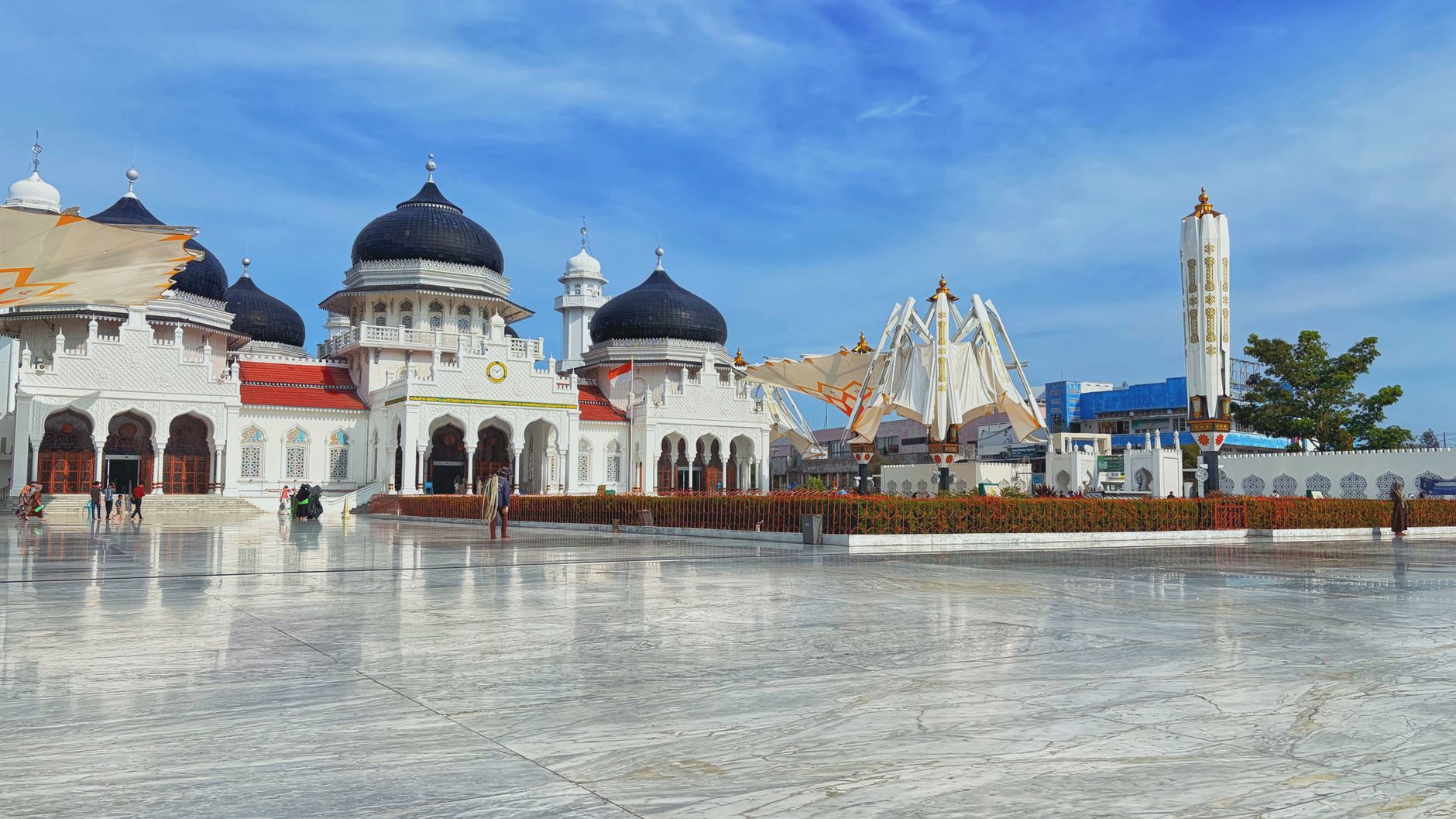
Photo by Resky Kyy on Pexels
Banda Aceh
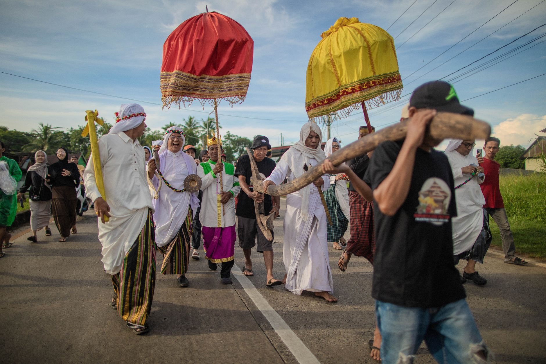
Photo by Yansen Ada' on Pexels
Banda Aceh
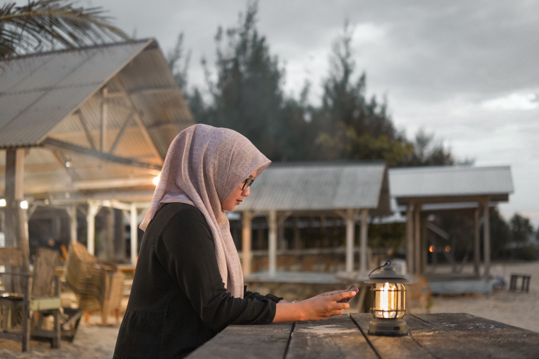
Photo by Sran Picture on Pexels
Banda Aceh
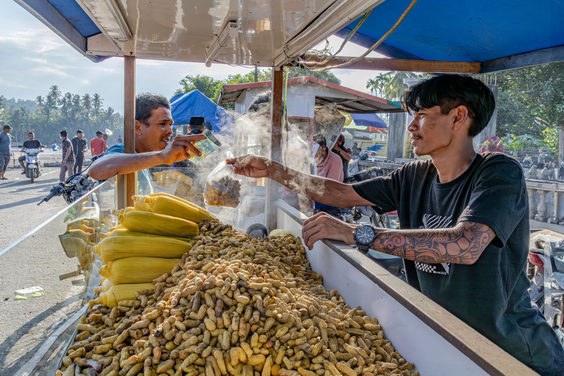
Photo by Man Fong Wong on Pexels
Banda Aceh
Photo by Mawardi Mawardi on Pexels
Banda Aceh
Photo by kevin yung on Pexels
City break Culture & history

Banda Aceh sits at the northernmost tip of Sumatra, closer to Kuala Lumpur than to Jakarta, and the distance is cultural as much as geographic. This is Indonesia's most devoutly Islamic province, governed since 2005 under a degree of autonomy that few other Indonesian regions hold — a hard-won peace after decades of armed conflict and, before that, a war with the Dutch that lasted thirty years.

The city carries two histories at once: the grandeur of a medieval sultanate that once controlled the Strait of Malacca, and the raw memory of December 26, 2004, when a tsunami killed more than 160,000 people here. Both are present, unhidden, in the streets.

Good to know
Sultan Iskandar Muda Airport (BTJ) sits 18 kilometres from the centre; fixed-price taxis cover the run to town. Daily flights connect to Medan (one hour) and Jakarta (under three hours). Dress modestly — this is Aceh, and the dress code applies to visitors too.
The story

How Banda Aceh came to be

The city traces its formal origins to the Sultanate of Aceh, founded by Ali Mughayat Syah around 1514, who united the scattered territories of northern Sumatra and established his capital here. The sultanate's peak came under Iskandar Muda (1607–1636), when Banda Aceh became a major centre of Indian Ocean trade and Islamic scholarship, its reach extending across the Strait of Malacca. The airport still carries his name.

The Dutch arrived in force in 1873, burning the Baiturrahman Grand Mosque and triggering a war that ground on until 1903. Their dead fill the Kerkhof Poucut cemetery near the city centre — the largest Dutch military cemetery outside the Netherlands. The 20th century brought another conflict, the independence movement GAM, which ended only with the Helsinki peace agreement of August 2005, signed eight months after the tsunami reshaped everything.

People & landmarks

Who and what shaped it

People who shaped it

Ali Mughayat Syah
Founder and first Sultan of Aceh (c. 1514–1530); united northern Sumatra territories and established capital at Banda Aceh.
Iskandar Muda
Sultan during Aceh's Golden Age (1607–1636); expanded territory and made Banda Aceh a major Indian Ocean trade center; airport named after him.
Putroe Phang
Wife of Sultan Iskandar Muda; Gunongan Historical Park dedicated to her memory.
Ridwan Kamil
Local architect who designed the Tsunami Museum Aceh, opened 2009.

Landmark buildings

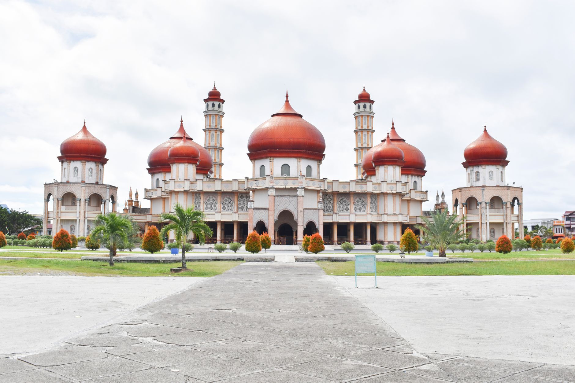
Baiturrahman Grand Mosque
Built during Iskandar Muda's reign (1607–1636), rebuilt 1875 after war damage; seven domes, capacity 9,000; survived 2004 tsunami largely intact.
Gunongan Historical Park
Royal bathing place and garden built by Sultan Iskandar Muda for his wife Putroe Phang; part of Taman Sari complex.
Aceh Museum
Established 1915; moved to current location on Jl. Sultan Alaiddin Mahmudsyah in 1969; holds artifacts of Aceh's history and culture.
Dutch Kerkhof Poucut Cemetery
Largest Dutch military cemetery outside Netherlands; contains ~2,200 graves of Dutch soldiers and recruits from Indonesian territories.
Tsunami Museum
Opened February 2009; designed by architect Ridwan Kamil; functions as escape building and research center on earthquake and tsunami hazards.
PLTD Apung 1
Floating diesel plant moved inland by 2004 tsunami; now a landmark near city center.
Boat on a House
25-metre wooden fishing boat deposited on a house by 2004 tsunami; located in Gampong Lampulo on Aceh River's right bank.
Watch

See Banda Aceh in motion

Practical

Plan your visit

On the map

When to go

Banda Aceh is tropical and humid year-round, with two distinct wet seasons: October to January on the west coast side, and April to May on the east. The driest and most comfortable window for visiting is generally February through March.

Right now

26°C
Partly cloudy
Sat
🌦️
33°
26°
Sun
🌧️
32°
26°
Mon
34°
25°
Tue
🌧️
34°
26°
Weather data: Open-Meteo

Background & history adapted from Wikipedia (CC BY-SA) · specs from Wikidata (CC0) · weather from Open-Meteo · map data © OpenStreetMap contributors · photos from Wikimedia Commons / Unsplash with per-image credit. No third-party reviews or social posts reproduced.

Top