Bai Thom
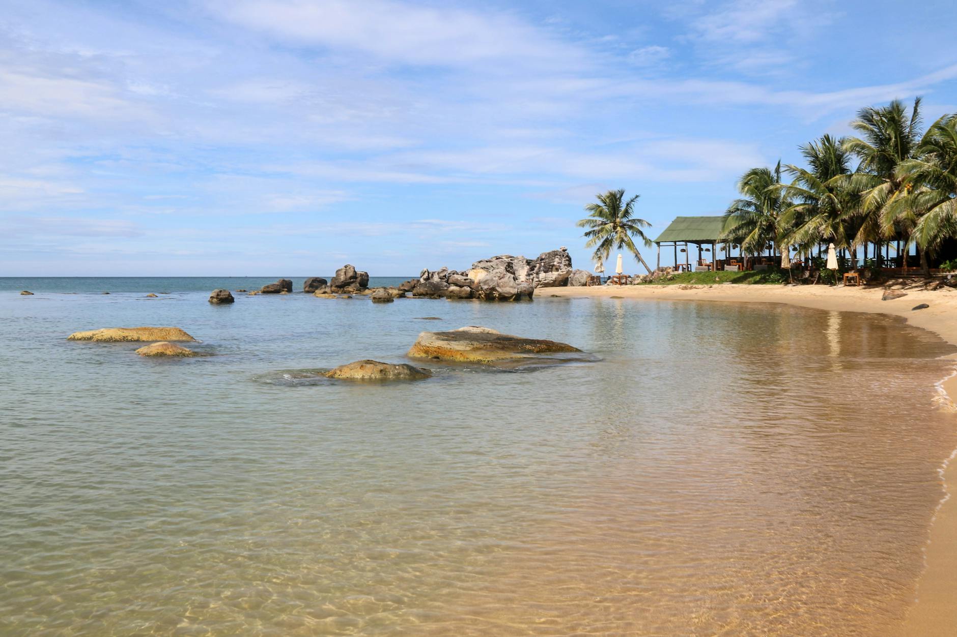
The sand at Bai Thom runs salt-and-pepper rather than the postcard white you find elsewhere on Phu Quoc — a small detail that tells you something true about the place. This northeastern commune sits 35 kilometres from Duong Dong town, at the foot of Ong Dien Mountain, and the distance keeps it quiet in a way that the island's southern resorts no longer are.
From the narrow two-kilometre beach, on a clear day, you can make out Cambodia's Rabbit Island and the low coastline of Kampot and Kep across the water. Purple morning glory vines thread through the vegetation along the shore. Behind the beach, mangrove forest and the Rach Tram River push into the edge of Phu Quoc National Park.
💛 What travellers fall for
People who make the drive up tend to mention the same two things: eating pho bo at one of the small local spots near the commune centre, and taking a boat along Rach Tram River into the national park at Ham Rong mountain — quieter than the organized tours that depart from further south, and worth the extra logistics.
Deals in Bai Thom
Book directly at the providerHow Bai Thom came to be
Bai Thom is one of nine communal administrative units within Phu Quoc City, a designation that only came into being on March 1, 2021, when Phu Quoc became Vietnam's first island city. Before that, the commune existed as one of seven rural communes on the island, its life oriented around fishing, the mangrove coastline, and the national park that presses against its western edge.
The mangrove forest in the northern sections of Bai Thom has long been central to the livelihoods of coastal families here — a working landscape rather than a scenic backdrop. The Phu Hai Crocodile Farm in Da Chong, housing around 2,500 crocodiles raised for meat and skin, represents a more recent economic thread in the commune's story.

Who and what shaped it
Landmark buildings
See Bai Thom in motion
Plan your visit
On the map
When to go
Phu Quoc runs on a tropical rhythm: the dry season from roughly November through April brings the clearest skies and calmest seas, while the southwest monsoon from May through October can bring heavy rain and rougher water along the northern coast. Bai Thom's northeast-facing beach tends to be more exposed in the wet months.
Right now
Background & history adapted from Wikipedia (CC BY-SA) · specs from Wikidata (CC0) · weather from Open-Meteo · map data © OpenStreetMap contributors · photos from Wikimedia Commons / Unsplash with per-image credit. No third-party reviews or social posts reproduced.